2010s Maps of St. Francis County, Arkansas
Explore 63 historic maps of St. Francis County from the 2010s. These maps offer a rare glimpse into what life looked like during the 2010s — showing old roads, neighborhoods, homes, and landmarks that have changed or disappeared over time.
Whether you're researching your family's past, planning a metal detecting trip, or studying how St. Francis County's landscape evolved across the 2010s, these high-resolution maps are a powerful tool for exploring the history of this region.
- Focus on a specific era: All maps on this page are from the 2010s, giving you a focused view of this time period.
- See what’s changed: Compare century-old streets, trails, and buildings to today's modern landscape using overlays and satellite layers.
- Research with precision: Use these maps for genealogy, historical research, land use analysis, or educational projects.
- View, download, or print: Maps are fully viewable online in high resolution, and can be downloaded or printed for your own records.
Start exploring St. Francis County's history through authentic maps from the 2010s. This is your window into the past.
St. Francis County, AR maps
(63)- 2011 Map of Brinkley, 2011 Print
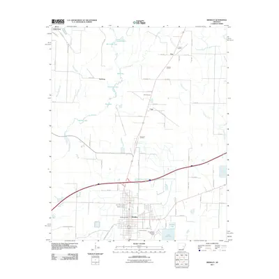 2011 Brinkley2011 Print · USGSThe Monroe County landscape near Brinkley is captured here during the early twenty-first century, showing a region defined by its bayous and small rural communities. Researchers can locate numerous local burial sites like Macedonia Cemetery and family-named landmarks like Henard Cemetery.
 - 2011 Map of Wheatley, 2011 Print
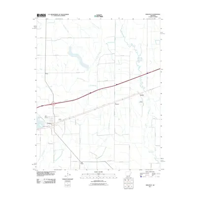 2011 Wheatley2011 Print · USGSWheatley and the surrounding St. Francis County bottomlands are captured here at the start of the 2010s. Researchers can locate family landmarks like Waldrop Cemetery and the Goodwin Cemeteries or trace the rural corners of Blossom and Nash Corner.
 - 2011 Map of Dansby, 2011 Print
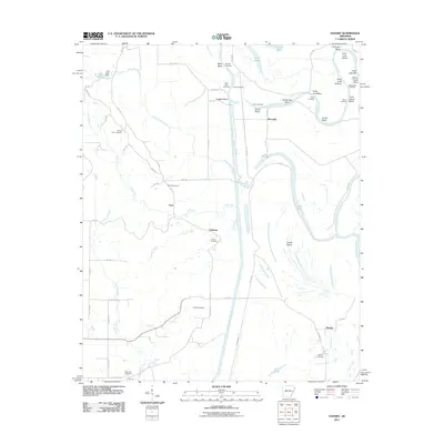 2011 Dansby2011 Print · USGSEastern Arkansas river country is shown here in the early twenty-first century, defined by the winding Saint Francis River. Researchers can trace old family sites at Casteel Cemetery and Dansby Cemetery or locate the former crossing at Quigley Crossing.
 - 2011 Map of Hughes, 2011 Print
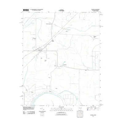 2011 Hughes2011 Print · USGSEastern Arkansas at the turn of the decade reveals a landscape of large-scale farming and bayou drainage centered on Hughes. Researchers can trace old family holdings like Davis Biggs Farm and Belle Meade or locate historical sites such as Saint Marys Cemetery.
 - 2011 Map of Garrett Grove, 2011 Print
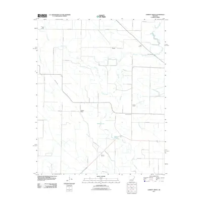 2011 Garrett Grove2011 Print · USGSGarrett Grove and the surrounding Lee County countryside are documented here in the early 2000s, showing a landscape shaped by the Arkansas Delta's drainage. Researchers can trace rural lineages through numerous local sites including Saint Paul Cemetery, Hopper, and Garrett Cemetery.
 - 2011 Map of Palestine, 2011 Print
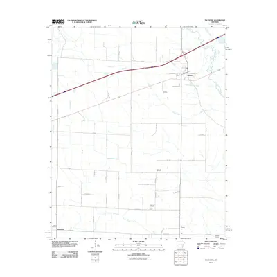 2011 Palestine2011 Print · USGSPalestine and the surrounding St. Francis County farmlands are shown here in the early twenty-first century. Genealogists and local historians can locate rural community markers such as Mars Hill Church, Westley Cemetery, and the small settlement of Gill.
 - 2011 Map of Haynes, 2011 Print
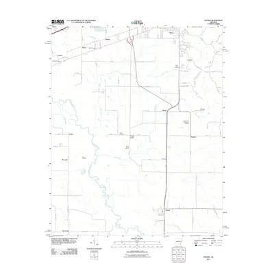 2011 Haynes2011 Print · USGSEastern Arkansas at the start of the 2010s reveals a structured agricultural landscape defined by the winding L'Anguille River. Local historians and genealogists can trace numerous rural burial sites like Mount Vernon Cemetery and small communities such as Haynes and Poplar Grove.
 - 2011 Map of Mud Lake, 2011 Print
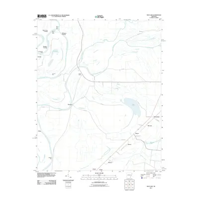 2011 Mud Lake2011 Print · USGSSt. Francis County at the turn of the decade exhibits a landscape deeply intertwined with the waters of the Saint Francis River. Researchers can trace the development of rural communities like Rawlinson and Bledsoe, or locate family sites near Bethlehem Cemetery.
 - 2011 Map of Hunter East, 2011 Print
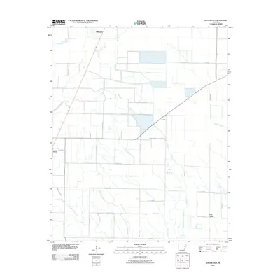 2011 Hunter East2011 Print · USGSThe outskirts of Hunter and the rural Woodruff County landscape are captured here in the early 2000s. Researchers can trace local history through small settlements like Hillemann and Four Gums or follow the paths of Big Creek and Pony Creek.
 - 2011 Map of Fair Oaks, 2011 Print
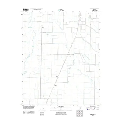 2011 Fair Oaks2011 Print · USGSWoodruff County's agricultural heartland is documented here in the early twenty-first century, showing a landscape defined by delta bayous and rural crossroads. Local historians can trace family land via Beeline Rd or locate the small airfields at McCrory-Morton Airport and Penrose Airport.
 - 2011 Map of Hunter West, 2011 Print
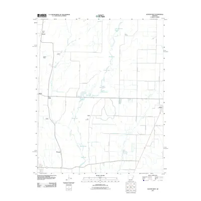 2011 Hunter West2011 Print · USGSWoodruff County at the start of the 2010s shows a landscape defined by delta wetlands and dispersed rural settlements. Genealogists can locate family landmarks like the Holly Cemetery or trace early community hubs like Howell and McGregor.
 - 2011 Map of Gieseck, 2011 Print
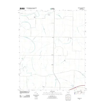 2011 Gieseck2011 Print · USGSThe Arkansas delta comes into focus in the early twenty-first century, showing a landscape shaped by water and agriculture. Researchers can trace rural lineages through local landmarks like Rose Place, Duvall, and Smith Lake.
 - 2011 Map of Hamlin, 2011 Print
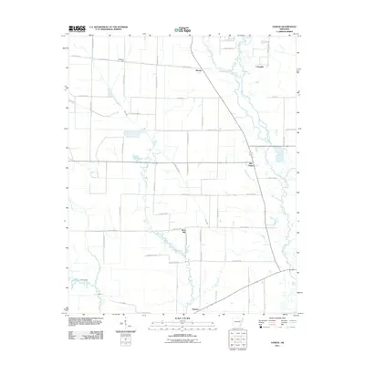 2011 Hamlin2011 Print · USGSSt. Francis County was a landscape of quiet agricultural hubs and meandering river bottoms in the early 2000s. Genealogists and local historians can trace family locations near Ellis Chapel, the settlement of Hamlin, or the waters of Malone Branch.
 - 2011 Map of Wynne, 2011 Print
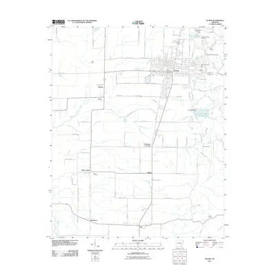 2011 Wynne2011 Print · USGSWynne and the surrounding Cross County countryside are captured here in the early twenty-first century. Genealogists and local historians can trace family locations near Cogbill Cemetery, Smith Chapel, and the settlement of McElroy.
 - 2011 Map of Chatfield, 2011 Print
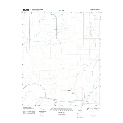 2011 Chatfield2011 Print · USGSCrittenden County at the turn of the century shows a landscape defined by delta bayous and rural crossroads. Researchers can trace family history through sites like Mount Zion Cemetery and settlements like Greasy Corner, Democrat, and Chatfield.
 - 2011 Map of Jeanette, 2011 Print
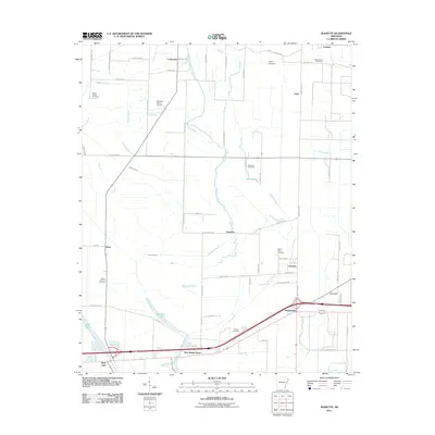 2011 Jeanette2011 Print · USGSCrittenden County at the start of the 2010s reveals a delta landscape defined by slow-moving bayous and established rural communities. Trace local history through family and community landmarks like Macedonia Cemetery, New Shady Grove, and the waters of Blackfish Lake.
 - 2011 Map of Round Pond, 2011 Print
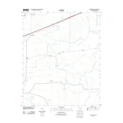 2011 Round Pond2011 Print · USGSSt. Francis County, Arkansas, is captured here in the early twenty-first century, showing a landscape defined by delta bayous and rural hamlets. Genealogists and local researchers can trace old family sites near Whitmore Cemetery, Hicks Station, and Round Pond.
 - 2011 Map of Madison, 2011 Print
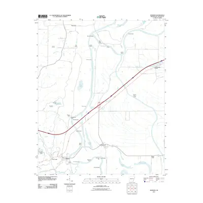 2011 Madison2011 Print · USGSThe Saint Francis River valley in Eastern Arkansas is documented here at the start of the decade, showing a landscape defined by alluvial bends and rural crossroads. Researchers can trace ancestral sites at Dorriss Cemetery or explore the river-driven geography of Andrews Landing and Doublehead Bluff.
 - 2011 Map of Wittsburg, 2011 Print
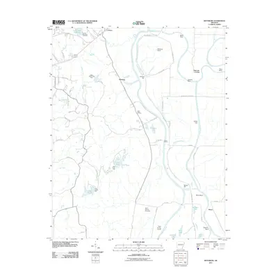 2011 Wittsburg2011 Print · USGSCross County settlement and river navigation are captured here during the early twenty-first century. Genealogists and local historians can trace family locations near Saint Marks Cemetery, the community of Wittsburg, and river landmarks like Johnson Bend.
 - 2011 Map of Forrest City, 2011 Print
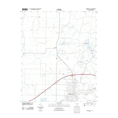 2011 Forrest City2011 Print · USGSForrest City sits atop the unique geological formation of Crowley Ridge in this early twenty-first-century survey. Genealogists and local historians can trace family locations at Beazley Cemetery, Harris Cemetery, and the community of Meadow Cliff.
 - 2011 Map of Hawkins, 2011 Print
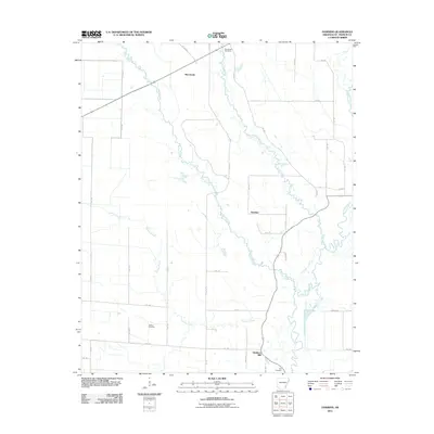 2011 Hawkins2011 Print · USGSSt. Francis County in the early twenty-first century is documented here as a landscape of rural crossroads and river bottomlands. Genealogists can locate Slonikers Mill and ancestral sites like Barnishaw Cemetery or Gaston Cemetery.
 - 2014 Map of Brinkley, 2014 Print
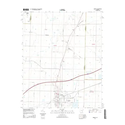 2014 Brinkley2014 Print · USGSBrinkley and the surrounding Arkansas delta are captured here in the early twenty-first century, showing a landscape defined by its waterways and small settlements. Researchers can trace local lineage at Oaklawn Cem or Macedonia Cem and explore the rail-and-road junctions at Fargo and Cotton Plant.
 - 2014 Map of Garrett Grove, 2014 Print
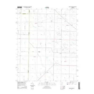 2014 Garrett Grove2014 Print · USGSGarrett Grove and the tri-county borderlands of Lee, Monroe, and St. Francis counties are shown here in the early twenty-first century. Family researchers can locate numerous burial sites like Pleasant Valley Cem, Prospect Cem, and Long Cane Cem.
 - 2014 Map of Wheatley, 2014 Print
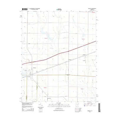 2014 Wheatley2014 Print · USGSWheatley and its neighboring delta settlements are captured here in the early twenty-first century, showing a landscape defined by agriculture and quiet crossroads. Researchers can trace local lineages through the Goodwin Cemeteries, Waldrop Cem, and the rural community of Blossom.
 - 2014 Map of Dansby, 2014 Print
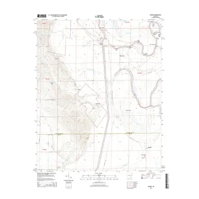 2014 Dansby2014 Print · USGSEastern Arkansas at the edge of the Mississippi Delta showcases a landscape of river bends and ridge lines. Researchers can trace family history through several rural burial grounds like Saint John Cem and Dansby Cem near the winding Saint Francis River.
Showing maps 1-25 of 63
Top cities of St. Francis County
- Forrest City historical maps
- Hughes historical maps
- Madison historical maps
- Palestine historical maps
- Caldwell historical maps
- Colt historical maps
See more
Frequently asked questions
- What are the different types of historical maps available for St. Francis County?
- What is the oldest map of St. Francis County?
- Where can I purchase historical maps of St. Francis County for my home or office?
- Where can I download high-res historical maps of St. Francis County?
- Are there historical topographic maps available for St. Francis County?
- Is there historical aerial imagery available for St. Francis County?
- Where are historical maps of St. Francis County sourced from?