2000s (21st Century) Maps of El Dorado County, California
Explore 187 historic maps of El Dorado County from the 2000s (21st Century). These maps offer a rare glimpse into what life looked like during the 2000s — showing old roads, neighborhoods, homes, and landmarks that have changed or disappeared over time.
Whether you're researching your family's past, planning a metal detecting trip, or studying how El Dorado County's landscape evolved across the 2000s, these high-resolution maps are a powerful tool for exploring the history of this region.
- Focus on a specific era: All maps on this page are from the 2000s, giving you a focused view of this time period.
- See what’s changed: Compare century-old streets, trails, and buildings to today's modern landscape using overlays and satellite layers.
- Research with precision: Use these maps for genealogy, historical research, land use analysis, or educational projects.
- View, download, or print: Maps are fully viewable online in high resolution, and can be downloaded or printed for your own records.
Start exploring El Dorado County's history through authentic maps from the 2000s. This is your window into the past.
El Dorado County, CA maps
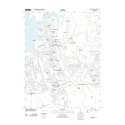
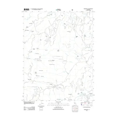
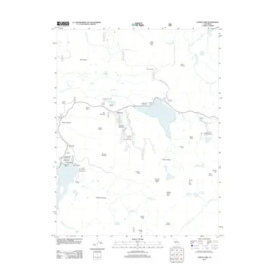
(187)- 2000 Map of Foresthill, 2003 Print
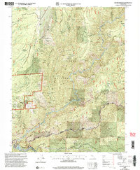
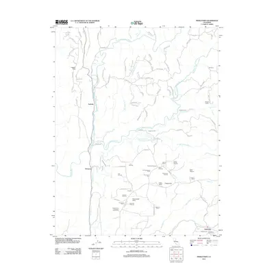
 2000 Foresthill2003 Print · USGSThe Placer County gold country around the Foresthill Divide is shown here at the turn of the millennium. Researchers can locate historic mining sites like Yankee Jims, Iowa Hill, and the Mayflower Mine alongside the Western States Trail.
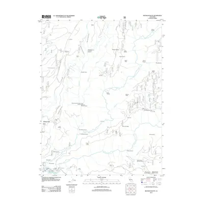
 - 2000 Map of Michigan Bluff, 2003 Print
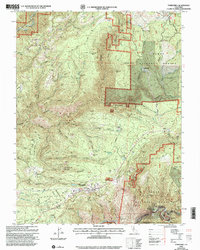
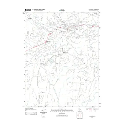
 2000 Michigan Bluff2003 Print · USGSThe high ridges of Placer County come into focus during the late twentieth century, showing a landscape defined by its deep mining roots and forest management. Researchers can trace the massive Big Gun Diggings and find historic sites like Michigan Bluff and Last Chance.2 unique versions available
 - 2012 Map of Greenwood, 2012 Print
 2012 Greenwood2012 Print · USGSCovers El Dorado County, including Greenwood, Auburn Lake Trails, and other nearby areas
 - 2012 Map of Shingle Springs, 2012 Print
 2012 Shingle Springs2012 Print · USGSCovers El Dorado County, including Cameron Park, Skinners, and other nearby areas
 - 2012 Map of Placerville, 2012 Print
 2012 Placerville2012 Print · USGSCovers El Dorado County, including Placerville, Diamond Springs, and other nearby areas
 - 2012 Map of Latrobe, 2012 Print
 2012 Latrobe2012 Print · USGSCovers El Dorado County, including Dugan, Flonellis, and other nearby areas
 - 2012 Map of Coloma, 2012 Print
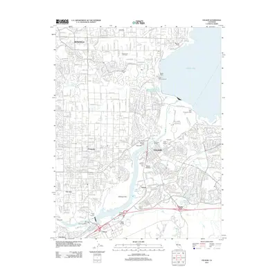
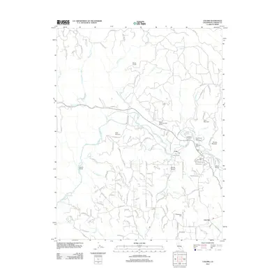 2012 Coloma2012 Print · USGSCovers El Dorado County, including Gold Hill, Lotus, and other nearby areas
 - 2012 Map of Aukum, 2012 Print
 2012 Aukum2012 Print · USGSCovers El Dorado County, including River Pines, Coyoteville, and other nearby areas
 - 2012 Map of Folsom SE, 2012 Print
 2012 Folsom SE2012 Print · USGSCovers El Dorado County, including Folsom, El Dorado Hills, and other nearby areas
 - 2012 Map of Auburn, 2012 Print
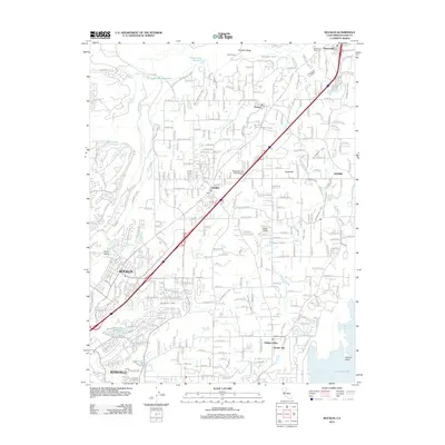
 2012 Auburn2012 Print · USGSCovers El Dorado County, including Auburn, Meadow Vista, and other nearby areas
 - 2012 Map of Fiddletown, 2012 Print
 2012 Fiddletown2012 Print · USGSCovers El Dorado County, including Nashville, Fiddletown, and other nearby areas
 - 2012 Map of Rocklin, 2012 Print
 2012 Rocklin2012 Print · USGSCovers El Dorado County, including Roseville, Rocklin, and other nearby areas
 - 2012 Map of Folsom, 2012 Print
 2012 Folsom2012 Print · USGSCovers El Dorado County, including Roseville, Citrus Heights, and other nearby areas
 - 2012 Map of Pilot Hill, 2012 Print
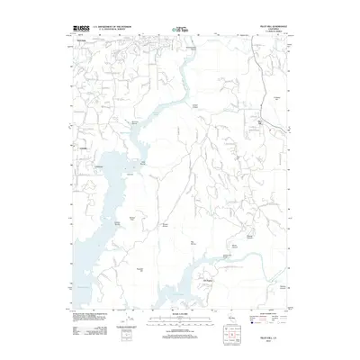 2012 Pilot Hill2012 Print · USGSCovers El Dorado County, including Auburn, Lakeshore, and other nearby areas
 - 2012 Map of Clarksville, 2012 Print
 2012 Clarksville2012 Print · USGSCovers El Dorado County, including Folsom, El Dorado Hills, and other nearby areas
 - 2012 Map of Michigan Bluff, 2012 Print
 2012 Michigan Bluff2012 Print · USGSCovers El Dorado County, including Michigan Bluff, Placer County, and other nearby areas
 - 2012 Map of Meeks Bay, 2012 Print
 2012 Meeks Bay2012 Print · USGSCovers El Dorado County, including Rubicon Bay, Placer County, and other nearby areas
 - 2012 Map of Wentworth Springs, 2012 Print
 2012 Wentworth Springs2012 Print · USGSCovers El Dorado County, including Placer County, United States, and other nearby areas
 - 2012 Map of Bunker Hill, 2012 Print
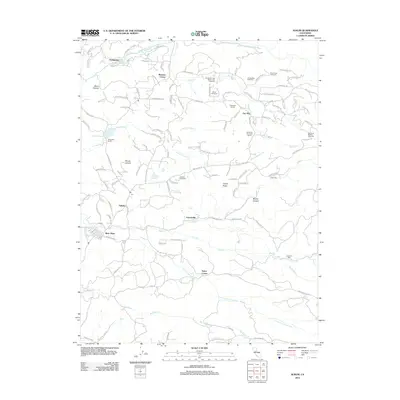
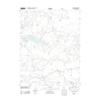
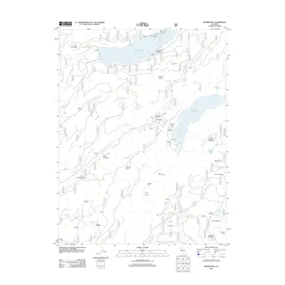 2012 Bunker Hill2012 Print · USGSCovers El Dorado County, including Gilberts, Placer County, and other nearby areas
 - 2012 Map of Foresthill, 2012 Print
 2012 Foresthill2012 Print · USGSCovers El Dorado County, including Foresthill, Four Acres, and other nearby areas
 - 2012 Map of Homewood, 2012 Print
 2012 Homewood2012 Print · USGSCovers El Dorado County, including Tahoma, Tahoe Pines, and other nearby areas
 - 2012 Map of Kyburz, 2012 Print
 2012 Kyburz2012 Print · USGSCovers El Dorado County, including Jones Place, Kyburz, and other nearby areas
 - 2012 Map of Caples Lake, 2012 Print
 2012 Caples Lake2012 Print · USGSCovers El Dorado County, including Kirkwood, Kit Carson, and other nearby areas
 - 2012 Map of Omo Ranch, 2012 Print
 2012 Omo Ranch2012 Print · USGSCovers El Dorado County, including Omo Ranch, Amador County, and other nearby areas
 - 2012 Map of Devil Peak, 2012 Print
 2012 Devil Peak2012 Print · USGSCovers El Dorado County, including McCulloh, Leonardi, and other nearby areas
Showing maps 1-25 of 187
Top cities of El Dorado County
- El Dorado Hills historical maps
- South Lake Tahoe historical maps
- Cameron Park historical maps
- Placerville historical maps
- Pollock Pines historical maps
- Diamond Springs historical maps
See more
Frequently asked questions
- What are the different types of historical maps available for El Dorado County?
- What is the oldest map of El Dorado County?
- Where can I purchase historical maps of El Dorado County for my home or office?
- Where can I download high-res historical maps of El Dorado County?
- Are there historical topographic maps available for El Dorado County?
- Is there historical aerial imagery available for El Dorado County?
- Where are historical maps of El Dorado County sourced from?