2000s (21st Century) Maps of Long Beach, California
Explore 21 historic maps of Long Beach from the 2000s (21st Century). These maps offer a rare glimpse into what life looked like during the 2000s — showing old roads, neighborhoods, homes, and landmarks that have changed or disappeared over time.
Whether you're researching your family's past, planning a metal detecting trip, or studying how Long Beach's landscape evolved across the 2000s, these high-resolution maps are a powerful tool for exploring the history of this region.
- Focus on a specific era: All maps on this page are from the 2000s, giving you a focused view of this time period.
- See what’s changed: Compare century-old streets, trails, and buildings to today's modern landscape using overlays and satellite layers.
- Research with precision: Use these maps for genealogy, historical research, land use analysis, or educational projects.
- View, download, or print: Maps are fully viewable online in high resolution, and can be downloaded or printed for your own records.
Start exploring Long Beach's history through authentic maps from the 2000s. This is your window into the past.
Long Beach, CA maps
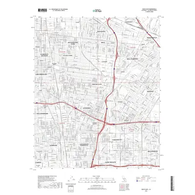
(21)- 2012 Map of Long Beach OE S, 2012 Print
 2012 Long Beach OE S2012 Print · USGSCovers Long Beach, including Los Angeles, Seal Beach, and other nearby areas
 - 2012 Map of South Gate, 2012 Print
 2012 South Gate2012 Print · USGSCovers Long Beach, including Los Angeles, Downey, and other nearby areas
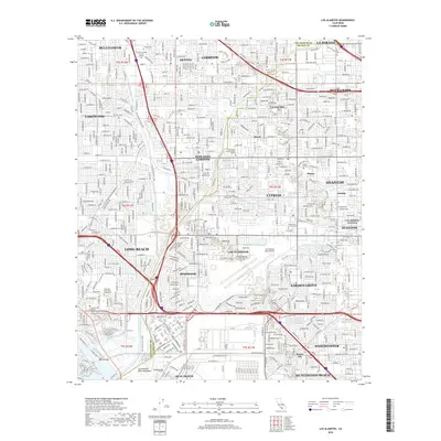
 - 2012 Map of Los Alamitos, 2012 Print
 2012 Los Alamitos2012 Print · USGSCovers Long Beach, including Anaheim, Huntington Beach, and other nearby areas
 - 2012 Map of Seal Beach, 2012 Print
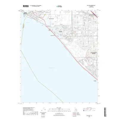
 2012 Seal Beach2012 Print · USGSCovers Long Beach, including Huntington Beach, Westminster, and other nearby areas
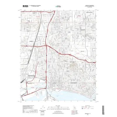
 - 2012 Map of Long Beach, 2012 Print
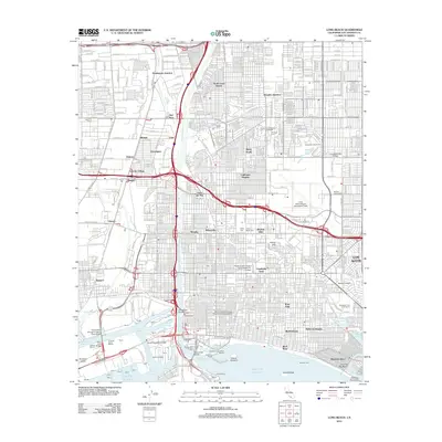 2012 Long Beach2012 Print · USGSCovers Long Beach, including Los Angeles, Compton, and other nearby areas
 - 2015 Map of Long Beach, 2015 Print
 2015 Long Beach2015 Print · USGSCovers Long Beach, including Los Angeles, Compton, and other nearby areas
 - 2015 Map of South Gate, 2015 Print
 2015 South Gate2015 Print · USGSCovers Long Beach, including Los Angeles, Downey, and other nearby areas
 - 2015 Map of Los Alamitos, 2015 Print
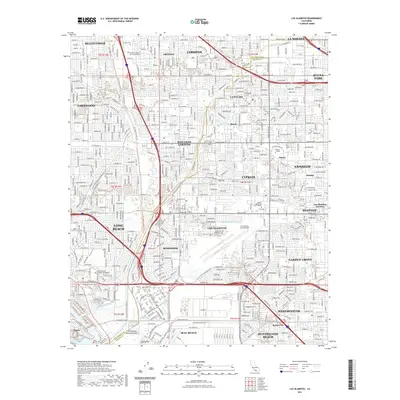
 2015 Los Alamitos2015 Print · USGSCovers Long Beach, including Anaheim, Huntington Beach, and other nearby areas
 - 2015 Map of Long Beach OE S, 2015 Print
 2015 Long Beach OE S2015 Print · USGSCovers Long Beach, including Los Angeles, Seal Beach, and other nearby areas
 - 2015 Map of Seal Beach, 2015 Print
 2015 Seal Beach2015 Print · USGSCovers Long Beach, including Huntington Beach, Westminster, and other nearby areas
 - 2018 Map of Long Beach, 2018 Print
 2018 Long Beach2018 Print · USGSCovers Long Beach, including Los Angeles, Compton, and other nearby areas
 - 2018 Map of Seal Beach, 2018 Print
 2018 Seal Beach2018 Print · USGSCovers Long Beach, including Huntington Beach, Westminster, and other nearby areas
 - 2018 Map of South Gate, 2018 Print
 2018 South Gate2018 Print · USGSCovers Long Beach, including Los Angeles, Downey, and other nearby areas
 - 2018 Map of Los Alamitos, 2018 Print
 2018 Los Alamitos2018 Print · USGSCovers Long Beach, including Anaheim, Huntington Beach, and other nearby areas
 - 2018 Map of Long Beach OE S, 2018 Print
 2018 Long Beach OE S2018 Print · USGSCovers Long Beach, including Los Angeles, Seal Beach, and other nearby areas
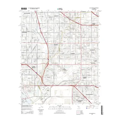
 - 2021 Map of Los Alamitos, 2021 Print
 2021 Los Alamitos2021 Print · USGSCovers Long Beach, including Anaheim, Huntington Beach, and other nearby areas
 - 2021 Map of Seal Beach, 2021 Print
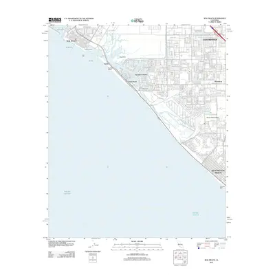
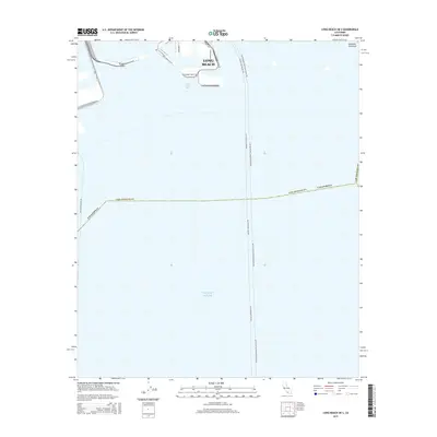
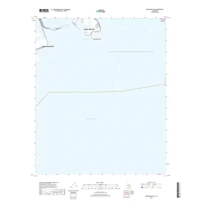
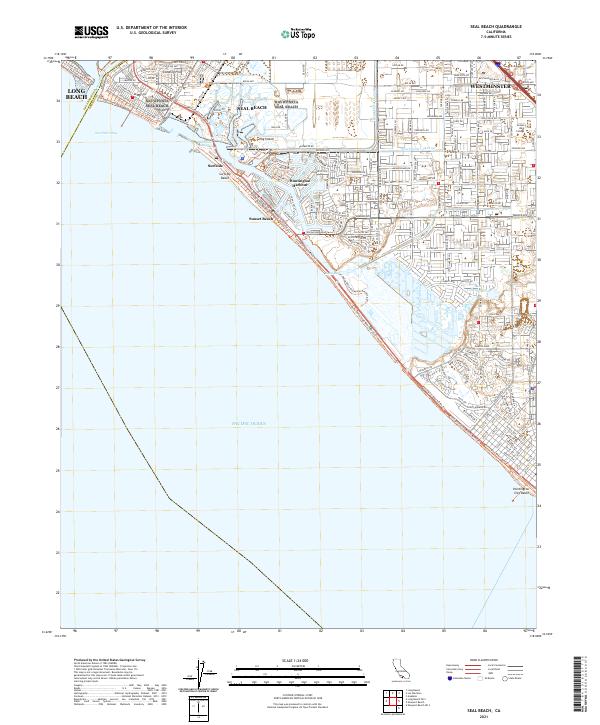 2021 Seal Beach2021 Print · USGSThe Orange County coast in the early twenty-first century reveals a highly engineered landscape of harbors and preserves. Trace the evolution of coastal communities from Landing Hill to Huntington Harbour and the Bolsa Chica Ecological Preserve.
 - 2021 Map of South Gate, 2021 Print
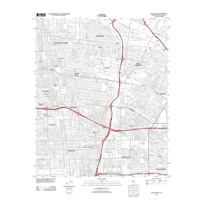
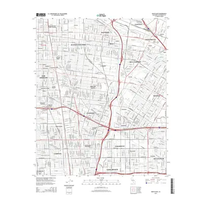
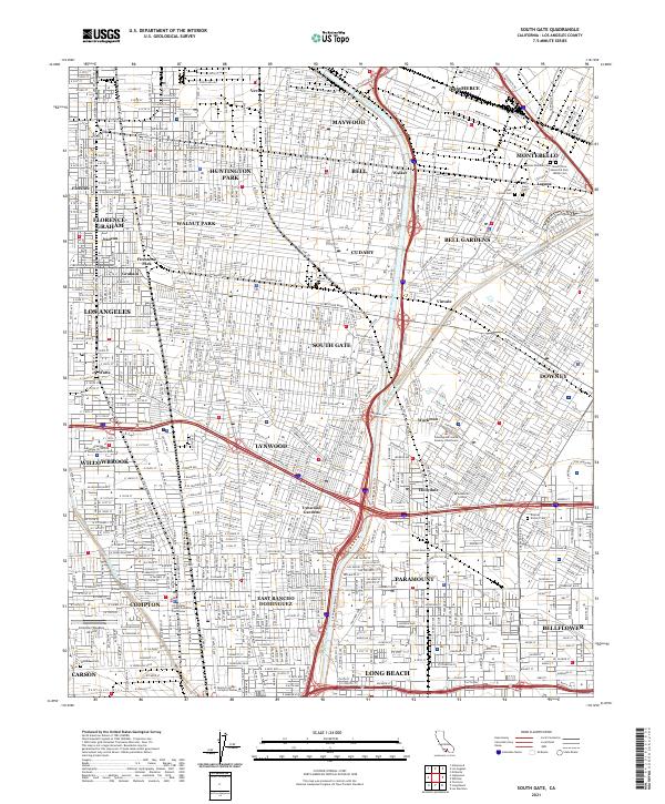 2021 South Gate2021 Print · USGSSoutheast Los Angeles County's industrial and civic heart is captured here in the early twenty-first century. Genealogists and local historians can trace family sites near the Russian Molokan Cem, Park Lawn Cem, and the Compton/Woodley Airport.
 - 2021 Map of Long Beach, 2021 Print
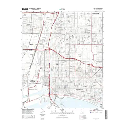
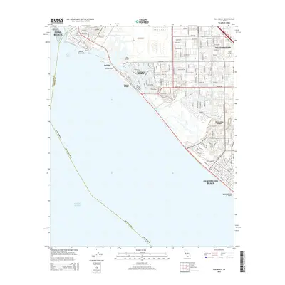
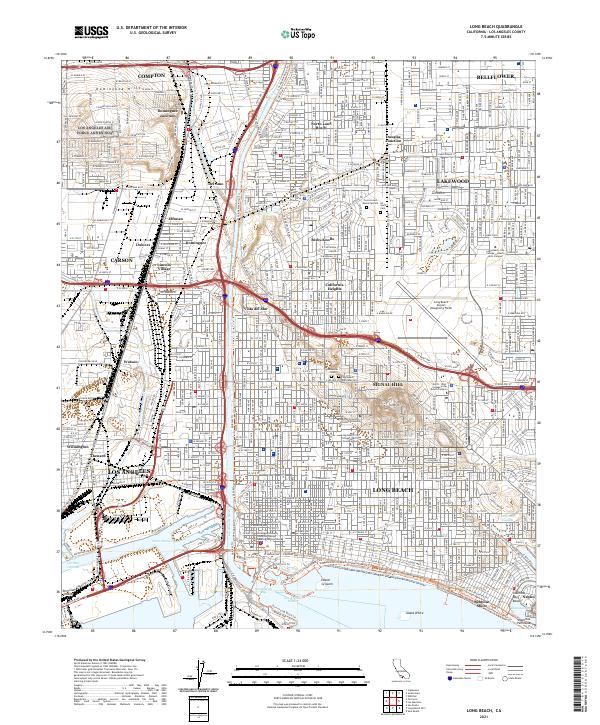 2021 Long Beach2021 Print · USGSThe coastal sprawl of Los Angeles County is captured here in the early 2020s, showing the intricate union of massive harbor works and dense residential grids. Genealogists and local historians can trace legacy sites from Bixby Knolls to Sunnyside Cem and the distinctive waterfront of Naples.
 - 2022 Map of Long Beach OE S, 2022 Print
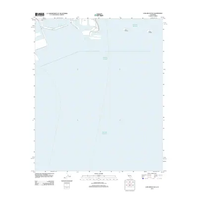
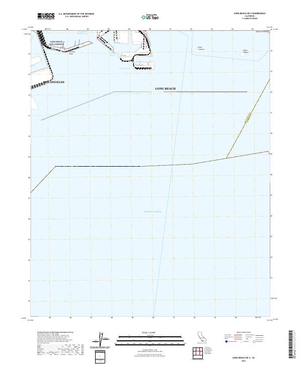 2022 Long Beach OE S2022 Print · USGSThe industrial coastline of Southern California is captured here in the early 2020s, focusing on the massive port infrastructure and artificial islands. Researchers can trace the modern layout of Terminal Island, shipping routes through the Outer Harbor, and landmarks like Island Freeman.
 - 2023 Map of Los Alamitos, 2023 Print
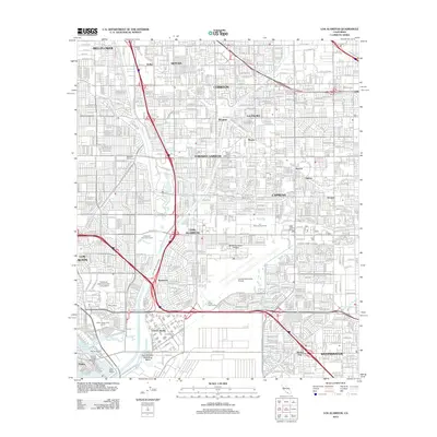
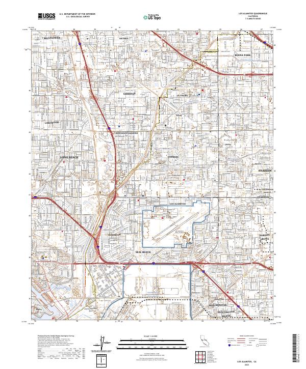 2023 Los Alamitos2023 Print · USGSThe Orange and Los Angeles County borderlands are revealed in this modern survey of a bustling coastal plain. Researchers can trace institutional landmarks like Los Alamitos Army Airfield and the Artesia Cem alongside the channelized San Gabriel River.
End of results
Showing maps 1-21 of 21
Top cities near Long Beach
- Los Angeles historical maps
- Anaheim historical maps
- Santa Ana historical maps
- Huntington Beach historical maps
- Garden Grove historical maps
- Torrance historical maps
See more
Top neighborhoods of Long Beach
- Cota historical maps
- Willowville historical maps
- Los Altos historical maps
- North Long Beach historical maps
- Naples historical maps
- Vista del Mar historical maps
See more
Frequently asked questions
- What are the different types of historical maps available for Long Beach?
- What is the oldest map of Long Beach?
- Where can I purchase historical maps of Long Beach for my home or office?
- Where can I download high-res historical maps of Long Beach?
- Are there historical topographic maps available for Long Beach?
- Is there historical aerial imagery available for Long Beach?
- Where are historical maps of Long Beach sourced from?