Old Maps of Wrightwood, California for Metal Detecting
Plan your next treasure hunt with 26 historic maps of Wrightwood. Find old homesites, ghost towns, trails, and gathering spots that may be lost to time — perfect for identifying promising metal detecting locations.
- Locate forgotten sites: Uncover places like long-lost settlements, abandoned rail lines, or gathering spots.
- Plan better hunts: Use map overlays combined with LiDAR or satellite views to narrow in on historically rich areas.
- Made for detectorists: Thousands of hobbyists use these maps to discover relics, coins, and hidden history.
Use these historic maps to boost your research and find new opportunities beneath the surface of Wrightwood.
Wrightwood, CA maps
(26)- 1901 Map of Southern California Sheet No. 1
 1901 Southern California Sheet No. 11901 Print · USGSGreater Los Angeles at the dawn of the twentieth century is a landscape of growing citrus towns and a burgeoning rail network. Genealogists and historians can trace the early gridded streets of Hollywood and Pasadena or locate landmarks like Bear Lake and the Cahuilla Indian Reservation.6 unique versions available
 - 1903 Map of San Antonio
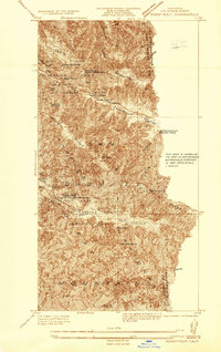
 1903 San Antonio1903 Print · USGSThe high divide of the San Gabriel Mountains is captured here at the turn of the century, showing the early boundaries of the San Gabriel Timber Land Reserve. Local history enthusiasts can trace the old paths through Swartout Valley, the depths of Mine Gulch, and the descent into Lone Pine Canyon.7 unique versions available
 - 1904 Map of Southern California Sheet No. 1, 1905 Print
 1904 Southern California Sheet No. 11905 Print · USGSSouthern California at the dawn of the twentieth century shows a landscape of citrus groves and coastal towns connected by rail. Genealogists and historians can trace early settlements like San Juan Capistrano, find remote sites like the Rose Mine, and study the original water systems of the Santa Ana River.2 unique versions available
 - 1936 Map of Swarthout
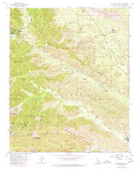
 1936 Swarthout1936 Print · USGSThe high San Gabriel Mountains are captured in the mid-1930s as they evolved into a center for recreation and scientific study. Researchers can locate the Smithsonian Solar Observatory, the historic Native Son Mine, and the Master Ski Jump at the county recreation camps.
 - 1941 Map of Swarthout
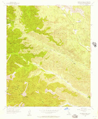
 1941 Swarthout1941 Print · USGSThe high San Gabriel Mountains come into focus during the mid-1930s as a hub for scientific observation and mountain recreation. Researchers can trace the San Andreas Rift Zone or locate early forest outposts like Smithsonian Observatory and Prairie Fork Guard Sta.3 unique versions available
 - 1942 Map of San Antonio
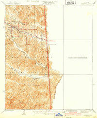
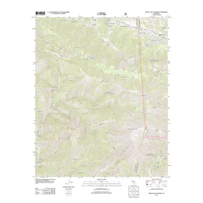
 1942 San Antonio1942 Print · USGSThe high San Gabriel Mountains meet the Mojave Desert in the early 1940s, showing a rugged landscape of ranching and early mountain recreation. Genealogists and local historians can trace family lands like Smith Ranch and Nuss Ranch, or locate landmarks like the Smithsonian Observatory and Wrightwood.4 unique versions available
 - 1953 Map of San Bernardino
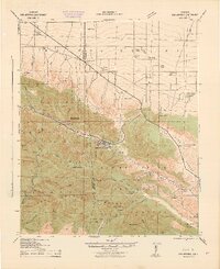
 1953 San Bernardino1953 Print · USGSSouthern California underwent massive post-war growth as suburban sprawl reached the foothills of the San Bernardino Mountains. Genealogists and historians can trace the rail-and-road roots of the Inland Empire through the Union Pacific RR and Lake Arrowhead resorts.2 unique versions available
 - 1955 Map of Mount San Antonio, 1958 Print
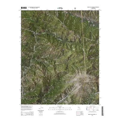
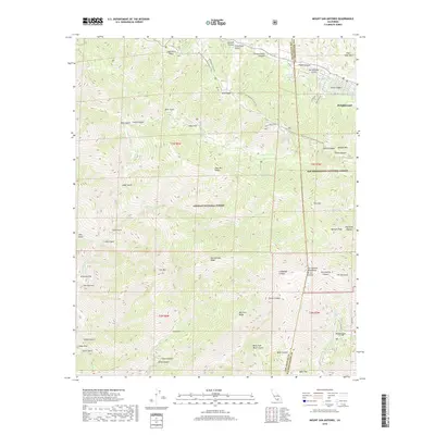
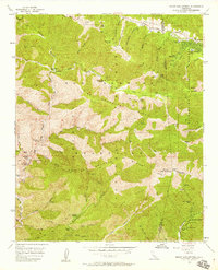 1955 Mount San Antonio1958 Print · USGSThe high San Gabriel Mountains in the mid-1950s reveal a landscape of deep canyons and isolated mining camps. Researchers can trace historic extraction sites like the Big Horn Mine and Stanley Miller Mine, or locate family-named landmarks like Widman Ranch.7 unique versions available
 - 1955 Map of Telegraph Peak, 1980 Print
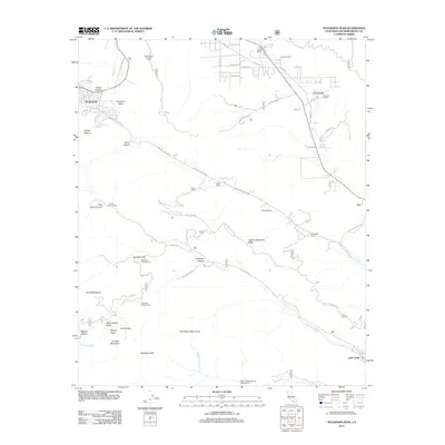
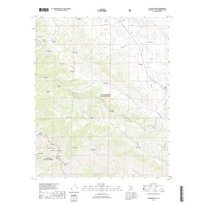
 1955 Telegraph Peak1980 Print · USGSThe San Gabriel Mountains in the mid-fifties are captured here as mountain recreation and ranching began to define the area. Genealogists and hikers can trace old family holdings like Nielson Ranch and landmarks like the Pioneer Historic Marker.
 - 1956 Map of San Bernardino
 1956 San Bernardino1956 Print · USGSSouthern California's Inland Empire and High Desert come into focus in the mid-fifties as agriculture gives way to suburban and military growth. Trace early rail lines like the Pacific Electric or find remote landmarks like Camp Rock Mine and George AFB.
 - 1956 Map of Telegraph Peak, 1957 Print
 1956 Telegraph Peak1957 Print · USGSThe San Gabriel and San Bernardino Mountains meet here in the mid-1950s, showing a rugged landscape of high-altitude ridges and early alpine settlements. Researchers can trace historic ranch boundaries and mountain landmarks like Prudhon Ranch, Miners Bowl, and Telegraph Peak.4 unique versions available
 - 1957 Map of San Bernardino
 1957 San Bernardino1957 Print · USGSSouthern California's Inland Empire and High Desert met during the postwar expansion of the late fifties. Genealogists and historians can trace the growth of San Bernardino and Redlands alongside remote landmarks like Edwards AFB and the Camp Rock Mine.
 - 1958 Map of San Bernardino, 1975 Print
 1958 San Bernardino1975 Print · USGSSouthern California’s Inland Empire and High Desert come into focus during the mid-century boom, showing the rise of suburbs and massive military installations. Researchers can trace the rail networks of the Union Pacific RR or locate landmarks like Norton AFB and Big Bear Lake.
 - 1959 Map of San Bernardino
 1959 San Bernardino1959 Print · USGSSouthern California underwent a massive transformation in the late fifties as suburban growth and military power reshaped the desert and valley. Researchers can trace the legacy of the Union Pacific Railroad and locate early footprints of Joshua Tree National Monument and Edwards Air Force Base.
 - 1966 Map of San Bernardino
 1966 San Bernardino1966 Print · USGSThe San Bernardino Valley and Mojave Desert met during a period of massive military and suburban growth in the mid-sixties. Genealogists and historians can trace the development of Edwards Air Force Base, old desert mines like the Bagdad Chase Mine, and mountain communities near Big Bear Lake.
 - 1982 Map of San Bernardino, 1983 Print
 1982 San Bernardino1983 Print · USGSThe Inland Empire and San Gabriel Valley met at a peak of suburban and industrial expansion in the early eighties. Researchers can trace the massive rail infrastructure through Cajon Pass and locate landmarks like Norton Air Force Base or the Fontana International Raceway.
 - 1995 Map of Mount San Antonio, 1999 Print
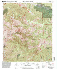 1995 Mount San Antonio1999 Print · USGSThe San Gabriel Mountains come into focus in the mid-1990s as a hub for both high-altitude recreation and legacy mining. Researchers can trace historic claims like the Big Horn Mine or locate early ski developments near Wrightwood and Baldy Notch.
 - 1996 Map of Telegraph Peak, 1999 Print
 1996 Telegraph Peak1999 Print · USGSThe San Gabriel Mountains come into sharp focus in the mid-1990s, revealing the geological drama of the San Andreas Rift Zone and the high ridges of the San Bernardino National Forest. Researchers can trace old mountain outposts and historic sites like Niles Ranch, the Pioneer Historic Marker, and the Stone House Crossing.
 - 2012 Map of Mount San Antonio, 2012 Print
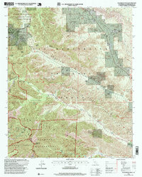
 2012 Mount San Antonio2012 Print · USGSCovers Wrightwood, including San Bernardino County, Los Angeles County, and other nearby areas
 - 2012 Map of Telegraph Peak, 2012 Print
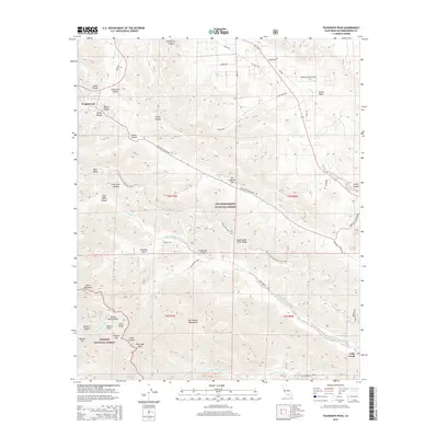
 2012 Telegraph Peak2012 Print · USGSCovers Wrightwood, including Lytle Creek, San Bernardino County, and other nearby areas
 - 2015 Map of Telegraph Peak, 2015 Print
 2015 Telegraph Peak2015 Print · USGSCovers Wrightwood, including Lytle Creek, San Bernardino County, and other nearby areas
 - 2015 Map of Mount San Antonio, 2015 Print
 2015 Mount San Antonio2015 Print · USGSCovers Wrightwood, including San Bernardino County, Los Angeles County, and other nearby areas
 - 2018 Map of Telegraph Peak, 2018 Print
 2018 Telegraph Peak2018 Print · USGSCovers Wrightwood, including Lytle Creek, San Bernardino County, and other nearby areas
 - 2018 Map of Mount San Antonio, 2018 Print
 2018 Mount San Antonio2018 Print · USGSCovers Wrightwood, including San Bernardino County, Los Angeles County, and other nearby areas
 - 2021 Map of Telegraph Peak, 2021 Print
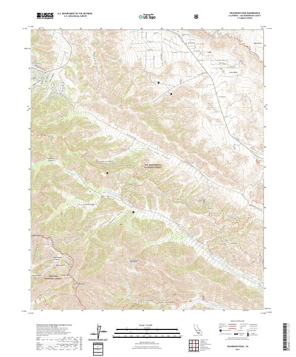 2021 Telegraph Peak2021 Print · USGSHigh in the San Gabriel Mountains during the early twenty-first century, this map shows the intersection of two national forests and the rugged divide of Lytle Creek. Hikers and historians can trace the Pacific Crest National Scenic Trl as it passes Telegraph Peak, Stockton Flat, and the Miners Bowl.
Showing maps 1-25 of 26
Top cities near Wrightwood
- Fontana historical maps
- Rancho Cucamonga historical maps
- Victorville historical maps
- Rialto historical maps
- Hesperia historical maps
- Upland historical maps
See more
Frequently asked questions
- What are the different types of historical maps available for Wrightwood?
- What is the oldest map of Wrightwood?
- Where can I purchase historical maps of Wrightwood for my home or office?
- Where can I download high-res historical maps of Wrightwood?
- Are there historical topographic maps available for Wrightwood?
- Is there historical aerial imagery available for Wrightwood?
- Where are historical maps of Wrightwood sourced from?