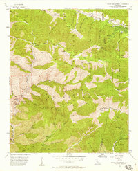
1955 Map of Mount San Antonio
USGS Topo · Published 1958About this map
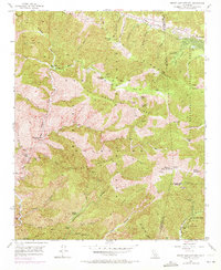
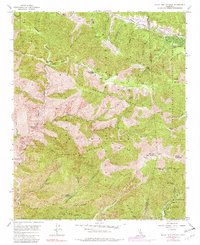
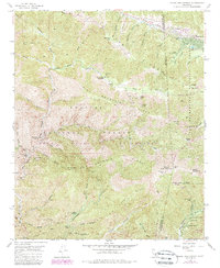
The high peaks of the San Gabriel Mountains dominate this mid-century survey, centered on the formidable mass of Mount San Antonio, also identified as Old Baldy. The landscape is a network of steep ridges and deep canyons where early twentieth-century mining operations left their mark. Notable workings such as the Big Horn Mine near Vincent Gulch and the Stanley Miller Mine along the Iron Fork reflect the region's extraction history.
Find a feature on this map
78 named features on this map. Tap any name to fly to it.
Don’t see what you’re looking for? This feature index may not catch every label — zoom into the map to look around manually.
Map Details
Editions of this 1955 Mount San Antonio Map
7 editions found
Other maps of this area

1894 · Pomona
USGS Topo · 1:62,500

1897 · Pomona
USGS Topo · 1:62,500

1897 · Cucamonga
USGS Topo · 1:62,500

1898 · Pomona
USGS Topo · 1:62,500

1900 · Cucamonga
USGS Topo · 1:62,500

1901 · Southern California Sheet No. 1
USGS Topo · 1:250,000

1903 · Rock Creek
USGS Topo · 1:62,500

1903 · Cucamonga
USGS Topo · 1:62,500

1903 · San Antonio
USGS Topo · 1:62,500

1904 · Pomona
USGS Topo · 1:62,500