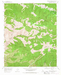
1955 Map of Mount San Antonio
USGS Topo · Published 1967About this map
Mount San Antonio, also known as Old Baldy, towers over this high-altitude landscape where the San Gabriel Mountains meet the San Bernardino National Forest. In the mid-1950s, the area served as a significant recreational and industrial hub, featuring numerous mountain retreats such as Camp Maria Stella and Camp San Antonio, alongside working sites like the Native Son Mine and Big Horn Mine. The map captures the complex topography of San Antonio Ridge and Big Horn Ridge, carved by steep drainage systems like Vincent Gulch and Cattle Canyon. The presence of the Prairie Fork Guard Sta and the Angles Crest Highway indicates the established management of these wilderness areas, while lower-elevation features like Widman Ranch suggest the integration of private holdings within the surrounding forest land.
Find a feature on this map
74 named features on this map. Tap any name to fly to it.
Don’t see what you’re looking for? This feature index may not catch every label — zoom into the map to look around manually.
Map Details
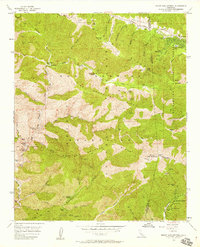
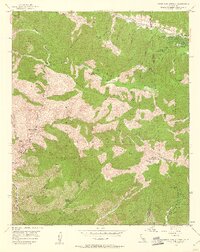
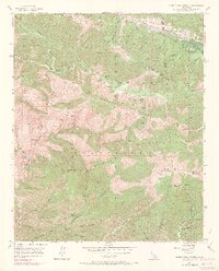
Editions of this 1955 Mount San Antonio Map
7 editions found
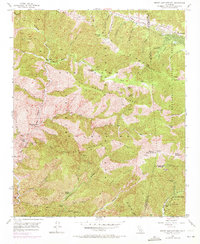
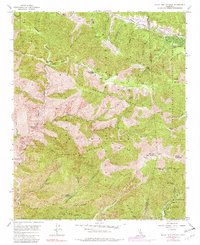
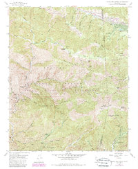
Other maps of this area

1894 · Pomona
USGS Topo · 1:62,500

1897 · Pomona
USGS Topo · 1:62,500

1897 · Cucamonga
USGS Topo · 1:62,500

1898 · Pomona
USGS Topo · 1:62,500

1900 · Cucamonga
USGS Topo · 1:62,500

1901 · Southern California Sheet No. 1
USGS Topo · 1:250,000

1903 · Rock Creek
USGS Topo · 1:62,500

1903 · Cucamonga
USGS Topo · 1:62,500

1903 · San Antonio
USGS Topo · 1:62,500

1904 · Pomona
USGS Topo · 1:62,500