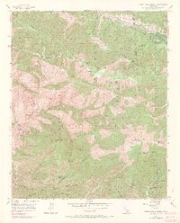
1955 Map of Mount San Antonio
USGS Topo · Published 1969About this map
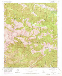
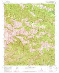
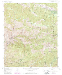
Mount San Antonio, better known as Old Baldy, dominates this high-altitude survey of the eastern San Gabriel Mountains. In the mid-1950s, the landscape was defined by its mineral wealth and emerging recreational use. Mining sites like the Big Horn Mine and the Native Son Mine are shown tucked into deep canyons, while the Widman Ranch and Weber Camp provide evidence of early high-country settlement.
Find a feature on this map
69 named features on this map. Tap any name to fly to it.
Don’t see what you’re looking for? This feature index may not catch every label — zoom into the map to look around manually.
Map Details
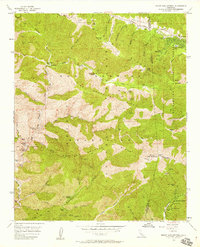
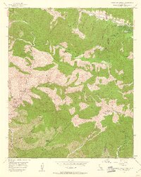
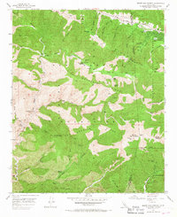
Editions of this 1955 Mount San Antonio Map
7 editions found
Other maps of this area

1894 · Pomona
USGS Topo · 1:62,500

1897 · Pomona
USGS Topo · 1:62,500

1897 · Cucamonga
USGS Topo · 1:62,500

1898 · Pomona
USGS Topo · 1:62,500

1900 · Cucamonga
USGS Topo · 1:62,500

1901 · Southern California Sheet No. 1
USGS Topo · 1:250,000

1903 · Rock Creek
USGS Topo · 1:62,500

1903 · Cucamonga
USGS Topo · 1:62,500

1903 · San Antonio
USGS Topo · 1:62,500

1904 · Pomona
USGS Topo · 1:62,500