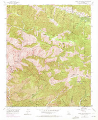
1955 Map of Mount San Antonio
USGS Topo · Published 1972About this map
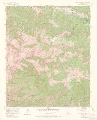
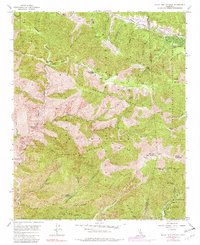
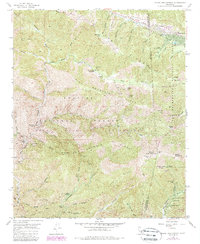
Mount San Antonio (Old Baldy) serves as the geographic anchor for this high-altitude survey of the San Gabriel Mountains. The landscape is defined by the massive San Andreas Rift Zone cutting across the northern reaches near Wrightwood. A legacy of high-country mining is visible through numerous workings, including the Big Horn Mine on Bghorn Ridge and the Native Son Mine near Prairie Fork.
Find a feature on this map
70 named features on this map. Tap any name to fly to it.
Don’t see what you’re looking for? This feature index may not catch every label — zoom into the map to look around manually.
Map Details
Editions of this 1955 Mount San Antonio Map
7 editions found
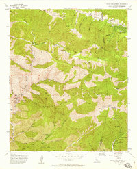
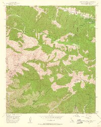
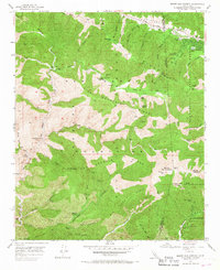
Other maps of this area

1894 · Pomona
USGS Topo · 1:62,500

1897 · Pomona
USGS Topo · 1:62,500

1897 · Cucamonga
USGS Topo · 1:62,500

1898 · Pomona
USGS Topo · 1:62,500

1900 · Cucamonga
USGS Topo · 1:62,500

1901 · Southern California Sheet No. 1
USGS Topo · 1:250,000

1903 · Rock Creek
USGS Topo · 1:62,500

1903 · Cucamonga
USGS Topo · 1:62,500

1903 · San Antonio
USGS Topo · 1:62,500

1904 · Pomona
USGS Topo · 1:62,500