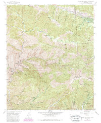
1955 Map of Mount San Antonio
USGS Topo · Published 1988About this map
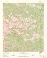
Mount San Antonio towers over this section of the eastern San Gabriel Mountains, a landscape defined by the tectonic activity of the San Andreas Rift Zone which cuts through Swarthout Valley in the north. The 1955 survey, updated with 1980s data, details a network of high-altitude mining and recreation sites. Prospecting history is etched into the terrain at the Big Horn Mine and Native Son Mine, while the mountain's southern slopes are home to established outposts like Manker Flat and Camp San Antonio. The intersection of heavy resource extraction and early alpine leisure is evident, with the Prairie Fork Guard Sta monitoring remote reaches of the Angeles National Forest and the Sheep Mountain Wilderness. Settlement concentrated at Wrightwood contrasts with the isolated camps and ranches, such as Widman Ranch and Weber Camp, that once served those traversing the canyons.
Find a feature on this map
83 named features on this map. Tap any name to fly to it.
Don’t see what you’re looking for? This feature index may not catch every label — zoom into the map to look around manually.
Map Details
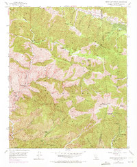
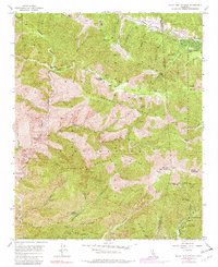
Editions of this 1955 Mount San Antonio Map
7 editions found
Other maps of this area

1894 · Pomona
USGS Topo · 1:62,500

1897 · Pomona
USGS Topo · 1:62,500

1897 · Cucamonga
USGS Topo · 1:62,500

1898 · Pomona
USGS Topo · 1:62,500

1900 · Cucamonga
USGS Topo · 1:62,500

1901 · Southern California Sheet No. 1
USGS Topo · 1:250,000

1903 · Rock Creek
USGS Topo · 1:62,500

1903 · Cucamonga
USGS Topo · 1:62,500

1903 · San Antonio
USGS Topo · 1:62,500

1904 · Pomona
USGS Topo · 1:62,500