2020s Maps of Ventura County, California
Explore 55 historic maps of Ventura County from the 2020s. These maps offer a rare glimpse into what life looked like during the 2020s — showing old roads, neighborhoods, homes, and landmarks that have changed or disappeared over time.
Whether you're researching your family's past, planning a metal detecting trip, or studying how Ventura County's landscape evolved across the 2020s, these high-resolution maps are a powerful tool for exploring the history of this region.
- Focus on a specific era: All maps on this page are from the 2020s, giving you a focused view of this time period.
- See what’s changed: Compare century-old streets, trails, and buildings to today's modern landscape using overlays and satellite layers.
- Research with precision: Use these maps for genealogy, historical research, land use analysis, or educational projects.
- View, download, or print: Maps are fully viewable online in high resolution, and can be downloaded or printed for your own records.
Start exploring Ventura County's history through authentic maps from the 2020s. This is your window into the past.
Ventura County, CA maps
(55)- 2021 Map of Anacapa Island OE SE, 2021 Print
 2021 Anacapa Island OE SE2021 Print · USGSCoastal waters south of the Anacapa archipelago appear in this recent marine study, focused on the Pacific Ocean off Ventura. Researchers can trace the maritime boundaries of Channel Islands National Park in this open-sea quadrangle.
 - 2021 Map of San Nicolas Island, 2021 Print
 2021 San Nicolas Island2021 Print · USGSSan Nicolas Island in the early twenty-first century remains a specialized military landscape surrounded by the Pacific Ocean. Researchers can trace the layout of the San Nicolas Island Naval Outlying Field and the shoreline near Dutch Harbor.
 - 2021 Map of San Nicolas Island OE SW, 2021 Print
 2021 San Nicolas Island OE SW2021 Print · USGSOff the coast of Ventura County in the early 2020s, this maritime survey captures the deep waters and rugged shoreline of the Channel Islands. Researchers can trace the coastal contours where the Pacific Ocean meets the steep, isolated bluffs of the island's southwest edge.
 - 2021 Map of San Nicolas Island OE NW, 2021 Print
 2021 San Nicolas Island OE NW2021 Print · USGSThe northern coastline of the Channel Islands meets the Pacific Ocean in this 2021 survey of Ventura County's maritime territory. Researchers can trace the steep topographic contours and the precise shoreline orientation of this isolated island geography.
 - 2021 Map of San Nicolas Island OE N, 2021 Print
 2021 San Nicolas Island OE N2021 Print · USGSThe offshore environment of Ventura County comes into focus in this recent survey of the Channel Islands. Maritime researchers and cartography enthusiasts can trace the intersection of the Pacific Ocean with the steep northwestern coastline of San Nicolas Island.
 - 2021 Map of Anacapa Island OE S, 2021 Print
 2021 Anacapa Island OE S2021 Print · USGSThe offshore waters of the Santa Barbara Channel are documented in the early 2020s, highlighting federal and county maritime limits. Trace the aquatic boundary between Santa Barbara Co and Ventura Co within the Channel Islands National Park.
 - 2021 Map of Point Dume, 2021 Print
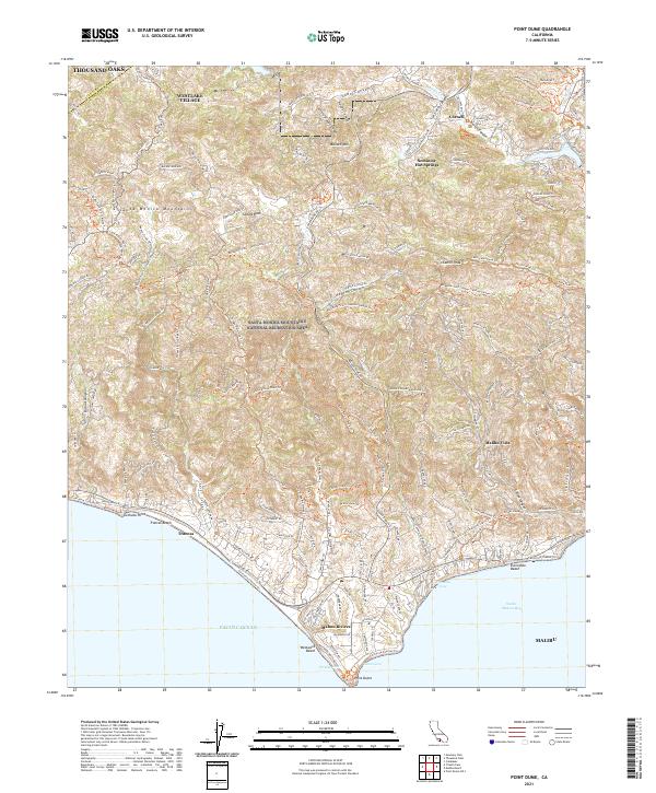 2021 Point Dume2021 Print · USGSThe Santa Monica Mountains meet the Pacific Ocean in the early twenty-first century, showing the development of coastal enclaves. Trace historic trails and modern topography through Seminole Hot Springs, Malibu Vista, and the prominent Point Dume.
 - 2021 Map of Cuyama Peak, 2021 Print
 2021 Cuyama Peak2021 Print · USGSVentucopa and the Cuyama Valley are captured in this recent survey, showcasing the remote highlands of Ventura County. Geologists and local explorers can trace the extensive trail networks through Ballinger Canyon, Quatal Canyon, and up to the summit of Cuyama Peak.
 - 2021 Map of Anacapa Island, 2021 Print
 2021 Anacapa Island2021 Print · USGSThe Channel Islands off the California coast are documented here in 2021, showing the remote landforms of the national park. Researchers can trace the rugged topography of West Anacapa Island, Camel Peak, and shoreline features like Frenchys Cove.
 - 2021 Map of Alamo Mountain, 2021 Print
 2021 Alamo Mountain2021 Print · USGSThe high wilderness of the Transverse Ranges is documented here in the early twenty-first century, centered on the heights of Alamo Mtn. Researchers can trace forest access routes like Gold Hill Rd to landmarks such as McDonald Peak and Lockwood Flat.
 - 2021 Map of Santa Paula Peak, 2021 Print
 2021 Santa Paula Peak2021 Print · USGSVentura County canyon lands and high ridges are documented here in the early twenty-first century. Researchers can trace local landmarks like Thomas Aquinas College, the waters of The Punch Bowl, and trails leading to Santa Paula Peak.
 - 2021 Map of Rancho Nuevo Creek, 2021 Print
 2021 Rancho Nuevo Creek2021 Print · USGSVentura County's high backcountry remains a landscape of trails and springs in this 2021 study of the Los Padres wilderness. Trace the remote settlement at Potrero Seco and navigate the steep topography around Lizard Head and Pine Mountain.
 - 2021 Map of Point Mugu OE W, 2021 Print
 2021 Point Mugu OE W2021 Print · USGSThe Ventura County coastline in 2021 is defined by its military and maritime utility. Genealogists and historians can trace the modern layout of the Point Mugu Naval Air Station and transit corridors like Arnold Rd and Beach Rd.
 - 2021 Map of Lion Canyon, 2021 Print
 2021 Lion Canyon2021 Print · USGSThe high wilderness of the Los Padres National Forest is mapped here in the early twenty-first century. Trail enthusiasts and local historians can trace the routes to Rose Valley Falls, the shores of Lower Rose Lake, and the remote heights of Thorn Point.
 - 2021 Map of Lockwood Valley, 2021 Print
 2021 Lockwood Valley2021 Print · USGSLockwood Valley and the surrounding high country of Ventura County are shown here in the contemporary era. Trace the backcountry trails leading to Thorn Meadows, navigate the drainages of Lockwood Cr, and locate the remote Mutau Flat.
 - 2021 Map of Val Verde, 2021 Print
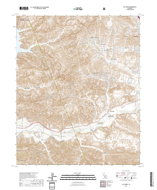 2021 Val Verde2021 Print · USGSThe canyonlands of the Los Angeles-Ventura border are captured here in a moment of modern residential expansion into the hills. Researchers can trace the interface between the Angeles National Forest and settlements like Val Verde, Del Valle, and Castaic.
 - 2021 Map of Fillmore, 2021 Print
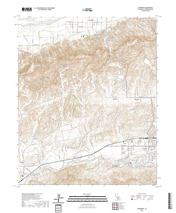
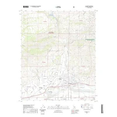 2021 Fillmore2021 Print · USGSCovers Ventura County, including Fillmore, Sespe Village, and other nearby areas
 - 2021 Map of Newbury Park, 2021 Print
 2021 Newbury Park2021 Print · USGSVentura County at the start of the 2020s shows a landscape of suburban centers and vast protected parklands. Researchers can trace the modern development of Thousand Oaks or explore the hiking corridors of the Santa Monica Mountains and Boney Mtn.
 - 2021 Map of Reyes Peak, 2021 Print
 2021 Reyes Peak2021 Print · USGSVentura County's high-country wilderness is documented here in the early twenty-first century, centered on the Los Padres National Forest. Researchers can trace remote routes like Lockwood Valley Road and high-elevation landmarks including Reyes Peak and Pine Mountain.
 - 2021 Map of Devils Heart Peak, 2021 Print
 2021 Devils Heart Peak2021 Print · USGSCovers Ventura County, including United States, California, and other nearby areas
 - 2021 Map of Santiago Creek, 2021 Print
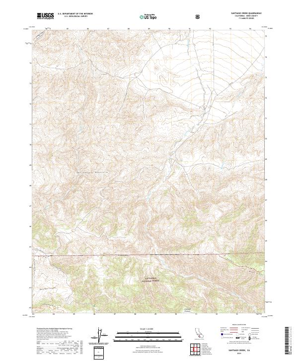 2021 Santiago Creek2021 Print · USGSThe San Emigdio Mountains and the southern Kern County backcountry appear in detail during the early 2020s. Trace the seasonal paths of Santiago Cr and explore the protected reaches of the Bitter Creek National Wildlife Refuge.
 - 2021 Map of San Guillermo Mountain, 2021 Print
 2021 San Guillermo Mountain2021 Print · USGSVentura County's backcountry is captured here in the early twenty-first century, showing the remote drainages and mountain ridges of the Los Padres National Forest. Trace the paths of Alamo Cr and Lockwood Cr or find high-elevation access via Lockwood Valley Rd.
 - 2021 Map of Wheeler Springs, 2021 Print
 2021 Wheeler Springs2021 Print · USGSVentura County's high canyons and forest trails are meticulously detailed in this recent survey of the Sespe Creek backcountry. Researchers can locate remote landmarks like Wheeler Springs, the Gypsum Mine Rd, and the narrow passage of Wheeler Gorge.
 - 2022 Map of Moorpark, 2022 Print
 2022 Moorpark2022 Print · USGSVentura County's fertile valleys and oil-rich ridges come into focus in this contemporary survey of the Moorpark and Bardsdale corridor. Genealogists and researchers can trace local landmarks like Bardsdale Cem, the San Marino Oil Company site, and the rural character of Somis.
 - 2022 Map of Calabasas, 2022 Print
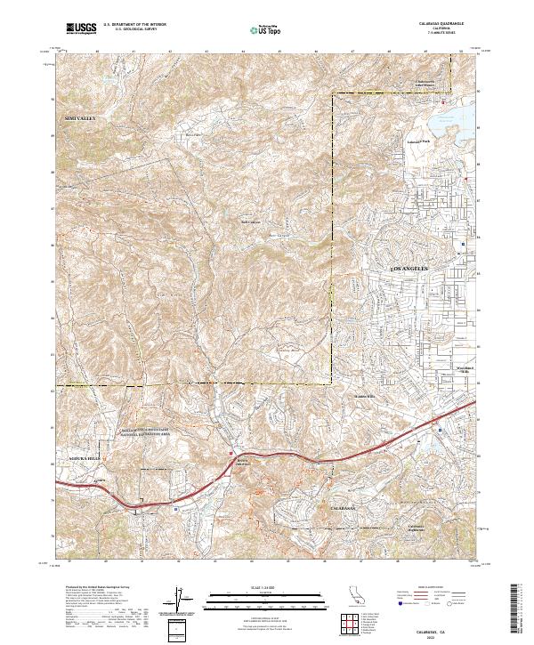 2022 Calabasas2022 Print · USGSThe western San Fernando Valley meets the Santa Monica Mountains in this modern survey of the Los Angeles and Ventura border. Trace the extensive trail network through Laskey Mesa or locate neighborhoods from Hidden Hills to Brents Junction.
Showing maps 1-25 of 55
Top cities of Ventura County
- Oxnard historical maps
- Thousand Oaks historical maps
- Simi Valley historical maps
- Ventura historical maps
- Camarillo historical maps
- Moorpark historical maps
See more
Frequently asked questions
- What are the different types of historical maps available for Ventura County?
- What is the oldest map of Ventura County?
- Where can I purchase historical maps of Ventura County for my home or office?
- Where can I download high-res historical maps of Ventura County?
- Are there historical topographic maps available for Ventura County?
- Is there historical aerial imagery available for Ventura County?
- Where are historical maps of Ventura County sourced from?