2020s Maps of Baca County, Colorado
Explore 64 historic maps of Baca County from the 2020s. These maps offer a rare glimpse into what life looked like during the 2020s — showing old roads, neighborhoods, homes, and landmarks that have changed or disappeared over time.
Whether you're researching your family's past, planning a metal detecting trip, or studying how Baca County's landscape evolved across the 2020s, these high-resolution maps are a powerful tool for exploring the history of this region.
- Focus on a specific era: All maps on this page are from the 2020s, giving you a focused view of this time period.
- See what’s changed: Compare century-old streets, trails, and buildings to today's modern landscape using overlays and satellite layers.
- Research with precision: Use these maps for genealogy, historical research, land use analysis, or educational projects.
- View, download, or print: Maps are fully viewable online in high resolution, and can be downloaded or printed for your own records.
Start exploring Baca County's history through authentic maps from the 2020s. This is your window into the past.
Baca County, CO maps
(64)- 2020 Map of Goodson School, 2020 Print
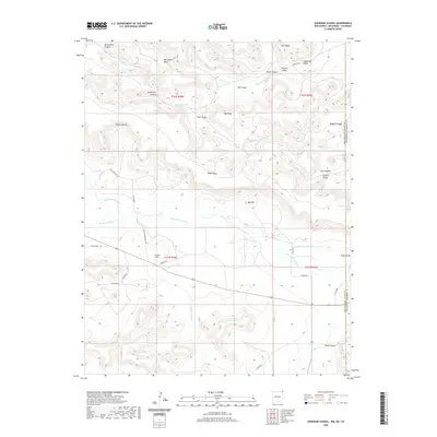 2020 Goodson School2020 Print · USGSCovers Baca County, including Cimarron County, Union County, and other nearby areas
 - 2022 Map of Moore Draw SE, 2022 Print
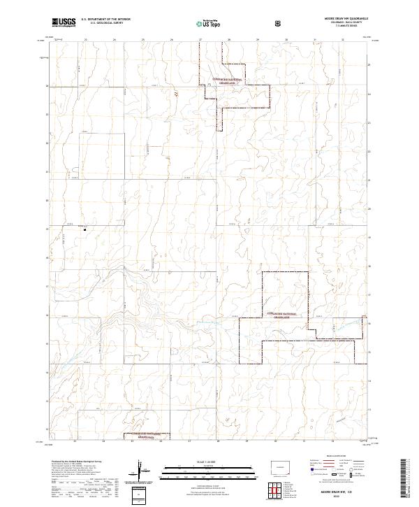
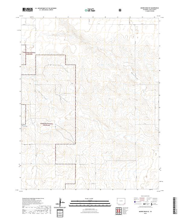 2022 Moore Draw SE2022 Print · USGSThe open ranchlands of Baca County are captured in this recent survey of the Comanche National Grassland during the early twenty-first century. Researchers can trace the drainage patterns of Moore Draw and Mitchell Draw alongside a network of county routes like CO RD K.
 - 2022 Map of Clay Ranch, 2022 Print
 2022 Clay Ranch2022 Print · USGSSoutheastern Colorado ranch lands appear in recent detail at the junction of Bent, Baca, and Las Animas counties. Researchers can trace remote property lines and water sources along Rule Cr, Cottonwood Cr, and State Hwy 101.
 - 2022 Map of Harbord, 2022 Print
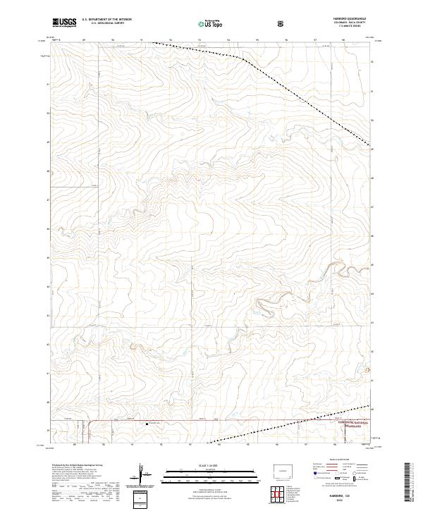 2022 Harbord2022 Print · USGSBaca County's southeastern prairie is documented here in the early twenty-first century, showing the intersection of ranching land and conservation. Genealogists and local historians can locate the Pritchett Cem and trace the drainage of Plum Cr and Bear Creek.
 - 2022 Map of Stonington, 2022 Print
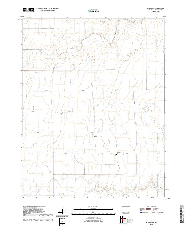 2022 Stonington2022 Print · USGSSoutheast Colorado's high plains are documented here in recent years, showing the intersection of rural ranching roads and prairie waterways. Researchers can locate the Stonington Cem near Stonington and trace the course of the N Fork Cimarron River.
 - 2022 Map of Table Mesa, 2022 Print
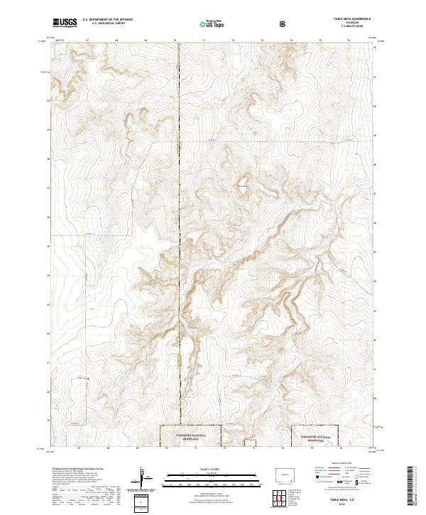 2022 Table Mesa2022 Print · USGSSoutheast Colorado's high plains and canyon country are shown here in the early twenty-first century as the landscape transitioned into protected grassland. Researchers can locate the Robb Cem and trace remote water sources like Watt Spring and O'Hair Spring.
 - 2022 Map of Campo NE, 2022 Print
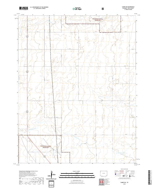 2022 Campo NE2022 Print · USGSSoutheast Colorado remains a region of vast open spaces and grazing land in the early 2020s. Genealogists and historians can trace the watercourses of the N Fork Cimarron River and Sand Arroyo Cr through the Comanche National Grassland.
 - 2022 Map of Midway, 2022 Print
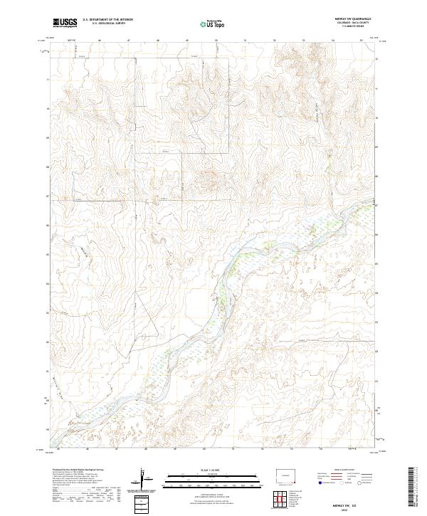
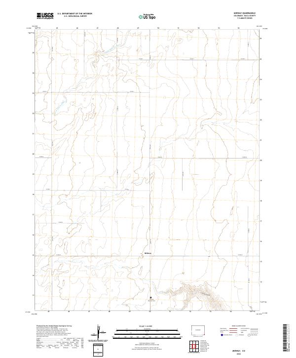 2022 Midway2022 Print · USGSSoutheastern Colorado's high plains are captured here in the early twenty-first century, showcasing the persistent grid of rural homesteading. Trace local genealogy and land use through Midway, the German Dunkard Cem, and the drainage of Spring Canyon.
 - 2022 Map of Tubs Springs, 2022 Print
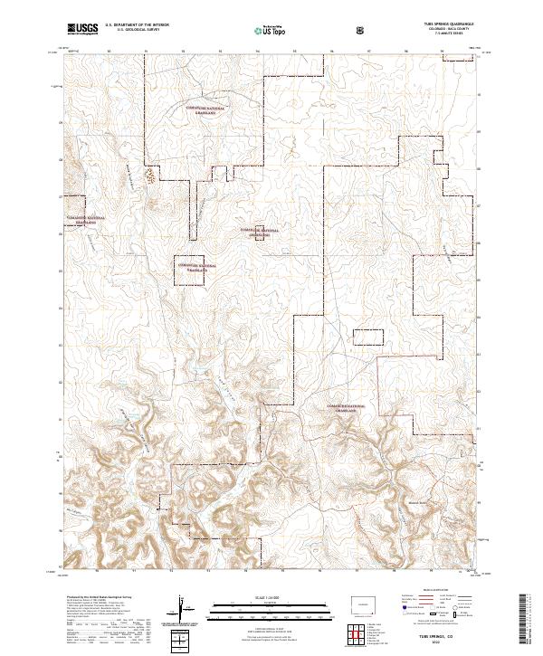 2022 Tubs Springs2022 Print · USGSBaca County's high plains are revealed in this modern survey of the shortgrass prairie and its deeply carved canyons. Researchers can trace historic water sources like Tubs Springs and follow the paths of the Outlaw Trl and Homestead Trl.
 - 2022 Map of Pritchett NW, 2022 Print
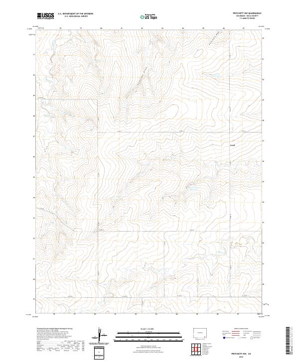 2022 Pritchett NW2022 Print · USGSBaca County ranch land is captured in this 2022 survey, showing the enduring agricultural patterns of the high plains. Genealogists and historians can trace the area near Graft or follow drainage routes like Plum Cr and Freezecout Cr.
 - 2022 Map of McEndree Ranch, 2022 Print
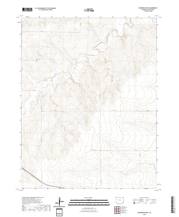 2022 McEndree Ranch2022 Print · USGSBaca County ranch lands are documented here in the early twenty-first century, showing the intersection of local watercourses and section lines. Researchers can locate the Maxey Cem and trace the paths of Two Butte Cr and Snake Arroyo.
 - 2022 Map of Lycan, 2022 Print
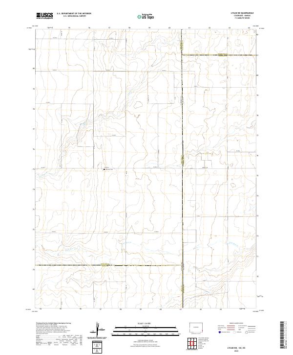
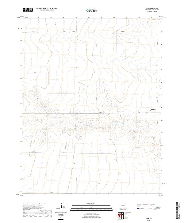 2022 Lycan2022 Print · USGSEastern Colorado's high plains are captured here in the early twenty-first century, showing a remote agricultural landscape defined by its section-line roads. Trace the sparse settlement patterns near Lycan and Buckeye Crossroads, or follow the drainage of Buffalo Cr.
 - 2022 Map of Stonington SE, 2022 Print
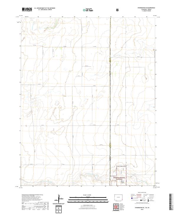 2022 Stonington SE2022 Print · USGSThis early twenty-first-century survey captures the high-plains borderlands where Colorado meets Kansas at the edge of the Cimarron National Grassland. Genealogists and local historians can trace the section-line road network and the seasonal course of the N Fork Cimarron River and Sand Arroyo Cr.
 - 2022 Map of Two Buttes, 2022 Print
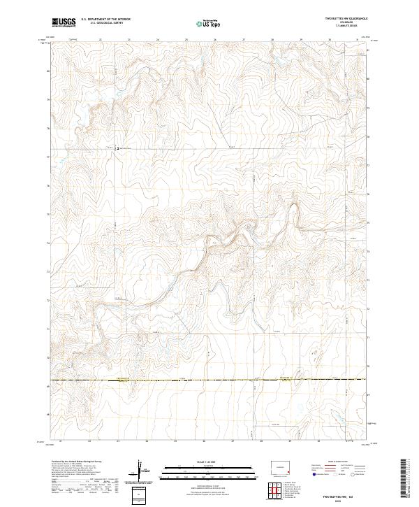
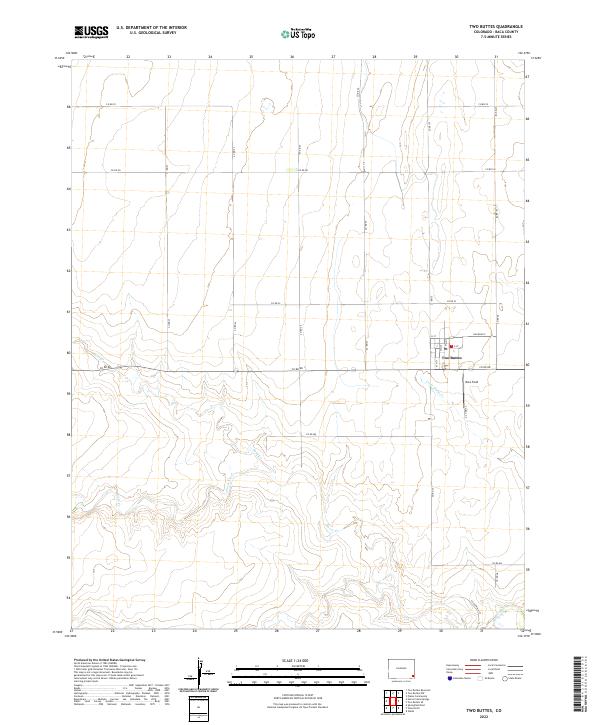 2022 Two Buttes2022 Print · USGSThis part of Baca County comes into focus in the early 2020s, centered on the grid and drainage patterns of the high plains. Researchers can trace the local street plan of Two Buttes, follow the path of Railroad 5, and locate rural landmarks like Rons Field.
 - 2022 Map of Bisonte, 2022 Print
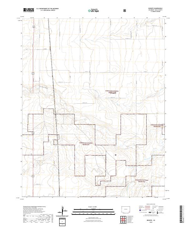 2022 Bisonte2022 Print · USGSSoutheastern Colorado’s high plains are documented here in the early twenty-first century, showing the intersection of public lands and rural transit. Genealogists and historians can trace the precise boundaries of the Comanche National Grassland and follow drainage systems like Sand Arroyo Cr and Lone Rock Draw.
 - 2022 Map of Deora, 2022 Print
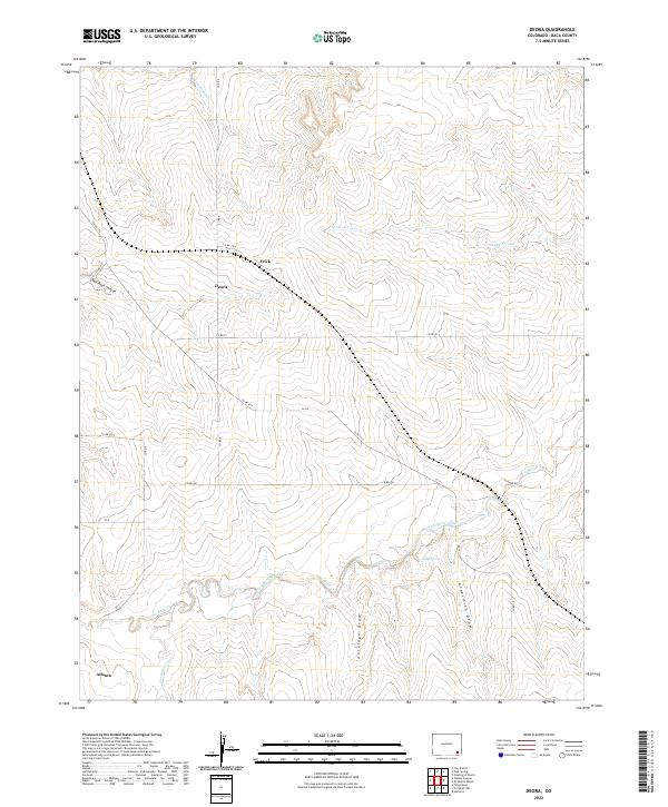 2022 Deora2022 Print · USGSHigh plains ranching country in Baca County is documented here during the early twenty-first century. Researchers can trace the rural crossroads of Deora, find the namesake Atlanta locality, and map the drainage patterns of Two Butte Creek and Snake Arroyo.
 - 2022 Map of Vilas North, 2022 Print
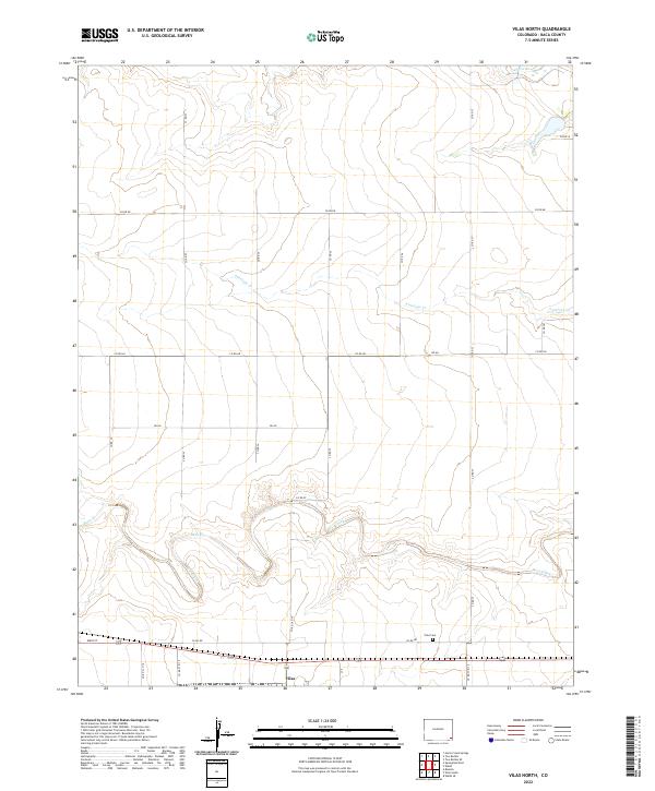 2022 Vilas North2022 Print · USGSThe Colorado high plains near the Oklahoma border are captured here in the early twenty-first century as a landscape of grid-line roads and seasonal creeks. Researchers can locate the Vilas Cem and trace the paths of Bear Creek and Antelope Cr across the township lines.
 - 2022 Map of Plains Community, 2022 Print
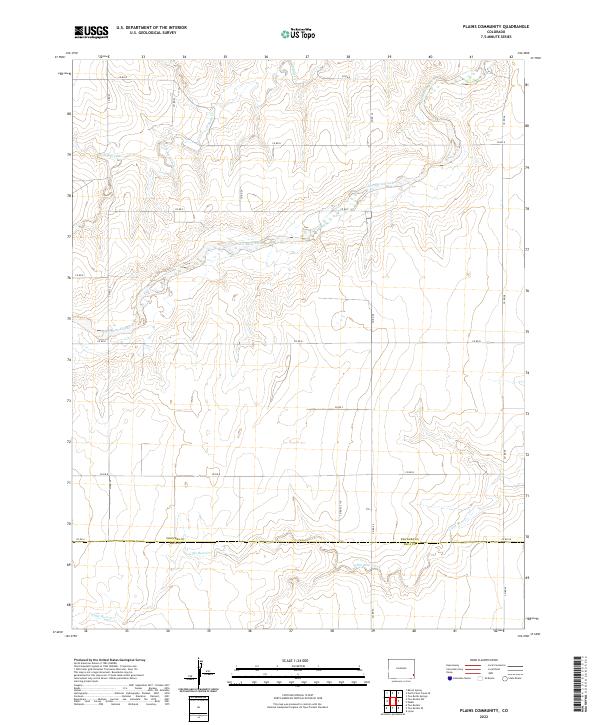 2022 Plains Community2022 Print · USGSSoutheastern Colorado at the turn of the twenty-first century is defined by the vast section grids along the Prowers Co border. Researchers can trace the drainage of Two Butte Creek and Little Bear Creek across miles of rural county roads.
 - 2022 Map of Lycan NE, 2022 Print
 2022 Lycan NE2022 Print · USGSThe Colorado and Kansas state line meets in this 2022 survey of the High Plains. Genealogists and historians can locate the Amerine Cem and trace the paths of N Bear Cr and Little Bear Cr across the border.
 - 2022 Map of Two Buttes Reservoir, 2022 Print
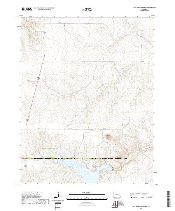 2022 Two Buttes Reservoir2022 Print · USGSSoutheastern Colorado’s high plains are documented here at the intersection of Prowers and Baca counties during the early 2020s. Researchers can locate the Butte Cem and trace the drainage of Two Butte Creek as it feeds into the Two Buttes Reservoir.
 - 2022 Map of Moore Draw NW, 2022 Print
 2022 Moore Draw NW2022 Print · USGSSoutheast Colorado ranching country is documented here in the early twenty-first century, showing the wide reaches of the Comanche National Grassland. Genealogists and local historians can locate the Rodley Cem and trace the N Fork Cimarron River across the open plains.
 - 2022 Map of Horse Creek Springs, 2022 Print
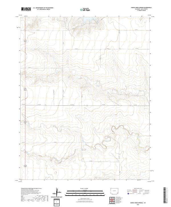 2022 Horse Creek Springs2022 Print · USGSBaca County's high plains landscape is documented here in the early twenty-first century, showing the critical water sources of the region. Researchers can trace the drainage of Horse Creek Springs and the paths of Sand Cr and South Horse Creek.
 - 2022 Map of Midway SW, 2022 Print
 2022 Midway SW2022 Print · USGSSoutheast Colorado remains a landscape of wide-open plains and hidden drainages in the early twenty-first century. Researchers can trace the winding path of the Cimarron River as it cuts through the terrain near Spring Canyon and Moore Draw.
 - 2022 Map of Two Buttes NW, 2022 Print
 2022 Two Buttes NW2022 Print · USGSSoutheast Colorado's high plains are captured here in the early twenty-first century at the intersection of Prowers and Baca counties. Local historians and genealogists can trace the quiet landmarks of this rural landscape, from the Hamilton Cem to the winding course of Two Butte Creek.
 - 2022 Map of Webb, 2022 Print
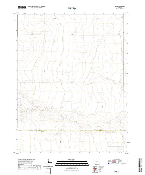 2022 Webb2022 Print · USGSSoutheast Colorado's High Plains are shown in this recent survey where the borders of Prowers and Baca counties meet. Researchers can trace the rural grid along Co Rd A and follow the natural drainage of Little Bear Creek and N Bear Cr.
Showing maps 1-25 of 64
Top cities of Baca County
- Springfield historical maps
- Walsh historical maps
- Campo historical maps
- Pritchett historical maps
- Vilas historical maps
- Two Buttes historical maps
Frequently asked questions
- What are the different types of historical maps available for Baca County?
- What is the oldest map of Baca County?
- Where can I purchase historical maps of Baca County for my home or office?
- Where can I download high-res historical maps of Baca County?
- Are there historical topographic maps available for Baca County?
- Is there historical aerial imagery available for Baca County?
- Where are historical maps of Baca County sourced from?