1970s Maps of Baca County, Colorado
Explore 59 historic maps of Baca County from the 1970s. These maps offer a rare glimpse into what life looked like during the 1970s — showing old roads, neighborhoods, homes, and landmarks that have changed or disappeared over time.
Whether you're researching your family's past, planning a metal detecting trip, or studying how Baca County's landscape evolved across the 1970s, these high-resolution maps are a powerful tool for exploring the history of this region.
- Focus on a specific era: All maps on this page are from the 1970s, giving you a focused view of this time period.
- See what’s changed: Compare century-old streets, trails, and buildings to today's modern landscape using overlays and satellite layers.
- Research with precision: Use these maps for genealogy, historical research, land use analysis, or educational projects.
- View, download, or print: Maps are fully viewable online in high resolution, and can be downloaded or printed for your own records.
Start exploring Baca County's history through authentic maps from the 1970s. This is your window into the past.
Baca County, CO maps
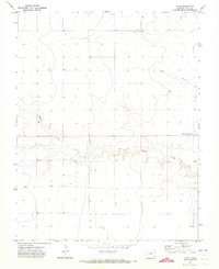
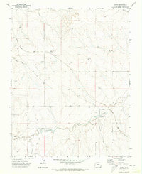
(59)- 1971 Map of Lycan SE, 1973 Print
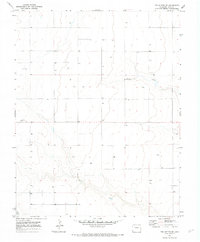
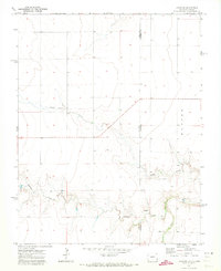 1971 Lycan SE1973 Print · USGSThe Colorado and Kansas borderlands come alive in this early 1970s survey of the High Plains. Genealogists and historians can trace the remote section lines of Baca and Stanton counties, following the paths of Beaty Creek, Buffalo Creek, and a lone Spring.
 - 1971 Map of Big Rock Grange, 1973 Print
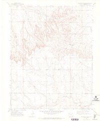
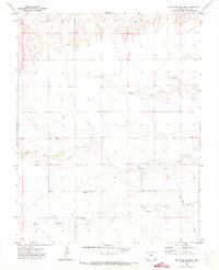 1971 Big Rock Grange1973 Print · USGSSoutheast Colorado in the early seventies shows a landscape defined by ranching and essential infrastructure. Genealogists and historians can trace family-named water sources and landmarks like Big Rock Grange, North Horse Creek, and the local Gravel Pit.
 - 1971 Map of Sturgis, 1973 Print
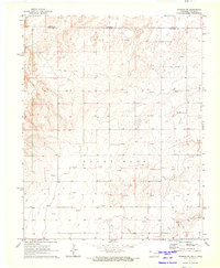
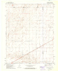 1971 Sturgis1973 Print · USGSThe Oklahoma Panhandle in the early seventies centers on the rail-side community of Sturgis and the surrounding energy fields. Local researchers can trace the Atchison Topeka and Santa Fe railroad corridor past Goff and the local Roadside Park.
 - 1971 Map of Lycan NE, 1973 Print
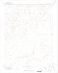
 1971 Lycan NE1973 Print · USGSThe Colorado-Kansas borderlands in the early seventies reveal a landscape of isolated prairie settlements and ranching infrastructure. Trace family history at the Amerine Cem or follow the drainage of North Bear Creek and Little Bear Creek.
 - 1971 Map of Plains Community, 1973 Print
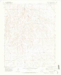
 1971 Plains Community1973 Print · USGSThe high plains of Colorado and Kansas come into focus in the early 1970s, showing a landscape defined by ranching and rural education. Genealogists and local historians can locate the Star School and the tiny outpost of Betty among the drainages of Two Butte Creek.3 unique versions available
 - 1971 Map of Two Buttes SE, 1973 Print
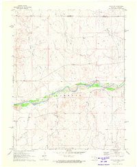
 1971 Two Buttes SE1973 Print · USGSIn the early 1970s, the quiet agricultural lands of Baca County were a grid of isolated settlements and vital water wells. Researchers can trace local history through the Two Buttes Cem, the small cluster at Earl, and the natural path of Buffalo Creek.
 - 1971 Map of Keyes NW, 1973 Print
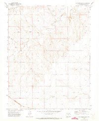
 1971 Keyes NW1973 Print · USGSThe Oklahoma-Colorado borderlands are captured here in the early seventies, dominated by the winding Cimarron River. History enthusiasts can trace the diagonal path of the Santa Fe Trail and locate regional landmarks like the Garrett terrain and Flagg Springs Draw.
 - 1971 Map of Keyes NE, 1973 Print
 1971 Keyes NE1973 Print · USGSThe Oklahoma Panhandle and Colorado border are captured here in the early seventies, showing the intersection of historic transit and modern utility. Trace the iconic Santa Fe Trail as it runs south of the Cimarron River near Sandy Hook.
 - 1971 Map of Walker Canyon, 1973 Print
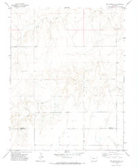
 1971 Walker Canyon1973 Print · USGSThe canyon country of the Las Animas and Baca county border is captured here during the early seventies, showcasing a landscape of remote ranchlands and deep drainages. Researchers can locate vanished rural infrastructure like the Old Post Office and schools such as Cedar Edge School.
 - 1971 Map of Lycan, 1973 Print
 1971 Lycan1973 Print · USGSHigh plains ranching life in Baca County is captured here in the early 1970s just miles from the Kansas border. Genealogists and local historians can trace the transition of the local post office to Buckeye Crossroads and locate numerous historic Well sites near Buffalo Creek.
 - 1971 Map of Horse Creek Springs, 1973 Print
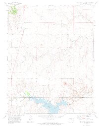
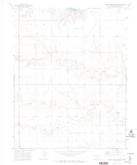 1971 Horse Creek Springs1973 Print · USGSThe high plains of Baca County are captured here in the early seventies, centered on a critical water network. Genealogists and local historians can trace the vital groundwater sources and ranching infrastructure including Horse Creek Springs, the Two Buttes Reservoir, and several Wells.
 - 1971 Map of Webb, 1973 Print
 1971 Webb1973 Print · USGSThe high plains of the Colorado borderlands are captured here in the early seventies, just north of the Oklahoma panhandle. Researchers can locate the settlement of Webb and trace the winding course of North Bear Creek and Little Bear Creek across the ranch land.
 - 1971 Map of Two Buttes NW, 1973 Print
 1971 Two Buttes NW1973 Print · USGSThe High Plains of Southeast Colorado in the early 1970s appear as a rugged ranching landscape on the border of Prowers and Baca counties. Trace the paths of North Butte Creek and Two Butte Creek or locate isolated landmarks like a lone Grave and a major Pipeline.
 - 1971 Map of Mc Endree Ranch, 1973 Print
 1971 Mc Endree Ranch1973 Print · USGSSoutheast Colorado ranch land is documented here in the early 1970s, showing a transition from early homesteads to modern transit. Genealogists can locate Maxey City and Cem and the Brookfield (Site) near the Snake Arroyo.
 - 1971 Map of Two Buttes Reservoir, 1973 Print
 1971 Two Buttes Reservoir1973 Print · USGSSoutheast Colorado in the early 1970s is defined here by the waters of Two Buttes Reservoir and the high plains terrain of the Prowers-Baca county line. Researchers can trace small settlements like Pleasant Heights and locate the Butte Cem.2 unique versions available
 - 1971 Map of Deora, 1973 Print
 1971 Deora1973 Print · USGSBaca County's high plains and railway history are documented here in the early seventies, centered on the Atchison Topeka and Santa Fe corridor. Genealogy researchers can trace the locations of the Israel Store (Site), the Valley View School, and the remote Murray Place.
 - 1971 Map of Floating W Ranch, 1973 Print
 1971 Floating W Ranch1973 Print · USGSSoutheast Colorado ranching country is captured here in the early seventies, detailing the rugged drainages along the Bent and Baca county line. Researchers can locate the Floating W Ranch, the Prairie Hill School, and early transport routes like the JEEP TRAIL.2 unique versions available
 - 1971 Map of Sturgis NW, 1973 Print
 1971 Sturgis NW1973 Print · USGSThe Oklahoma Panhandle meets the Colorado border in the early seventies, capturing a landscape of high plains energy production. Researchers can trace the drainage of the Cimarron River and locate numerous sites within the Oil Field and along Goff Creek.
 - 1971 Map of Two Buttes, 1973 Print
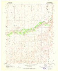
 1971 Two Buttes1973 Print · USGSSoutheast Colorado in the early 1970s reveals a landscape defined by ranching and small-town utility. Trace the settlement of Two Buttes and its local Landing Strip alongside the carved courses of Horse Creek and Sand Creek.
 - 1971 Map of Pipe Spring, 1974 Print
 1971 Pipe Spring1974 Print · USGSSoutheastern Colorado rangeland is captured here in the early 1970s, as the county line divides this prairie landscape. Researchers can locate vital water sources like Pipe Spring and Thompson Spring and trace the winding course of Caddoa Creek.
 - 1971 Map of Clay Ranch, 1974 Print
 1971 Clay Ranch1974 Print · USGSSoutheastern Colorado ranching country is documented here in the early 1970s, at the tri-county junction of Bent, Las Animas, and Baca. Trace the historic Atchison Topeka and Santa Fe rail line as it passes near Ruxton and Clay Ranch.
 - 1971 Map of Hasser Ranch, 1974 Print
 1971 Hasser Ranch1974 Print · USGSIn the early 1970s, this corner of Southeastern Colorado remained a landscape of isolated ranching outposts and historic wagon routes. Genealogists and historians can trace the Santa Fe Trail as it cuts past Hasser Ranch and Two Butte Creek.
 - 1972 Map of Goodson School, 1975 Print
 1972 Goodson School1975 Print · USGSThe high mesa country of Union County is captured here in the early 1970s, at the junction of New Mexico, Oklahoma, and Colorado. Researchers can trace the rural infrastructure of the day, from the Goodson School and Landing Strip to cattle-country landmarks like Twin Spring Windmill and Bramlett Spring.
 - 1978 Map of Edler
 1978 Edler1978 Print · USGSIn the late 1970s, this portion of Baca County remained a land of isolated wells and deep arroyos centered around Edler. Researchers can trace the path of the PIPELINE across the plains and locate water sources like Wells along North Ute Canyon.
 - 1978 Map of Walsh SE
 1978 Walsh SE1978 Print · USGSSoutheast Baca County was defined by energy exploration and prairie drainage during the late seventies. Researchers can trace the industrial footprint across the plains through several Gas Well sites, a Pumping Sta, and the historic Boston Cem.
Showing maps 1-25 of 59
Top cities of Baca County
- Springfield historical maps
- Walsh historical maps
- Campo historical maps
- Pritchett historical maps
- Vilas historical maps
- Two Buttes historical maps
Frequently asked questions
- What are the different types of historical maps available for Baca County?
- What is the oldest map of Baca County?
- Where can I purchase historical maps of Baca County for my home or office?
- Where can I download high-res historical maps of Baca County?
- Are there historical topographic maps available for Baca County?
- Is there historical aerial imagery available for Baca County?
- Where are historical maps of Baca County sourced from?