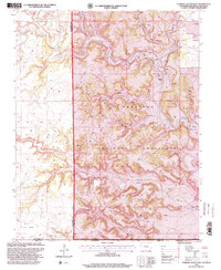
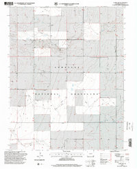
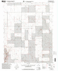
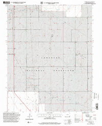
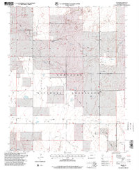
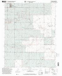
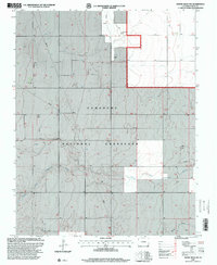
1990s Maps of Baca County, Colorado
Explore 22 historic maps of Baca County from the 1990s. These maps offer a rare glimpse into what life looked like during the 1990s — showing old roads, neighborhoods, homes, and landmarks that have changed or disappeared over time.
Whether you're researching your family's past, planning a metal detecting trip, or studying how Baca County's landscape evolved across the 1990s, these high-resolution maps are a powerful tool for exploring the history of this region.
- Focus on a specific era: All maps on this page are from the 1990s, giving you a focused view of this time period.
- See what’s changed: Compare century-old streets, trails, and buildings to today's modern landscape using overlays and satellite layers.
- Research with precision: Use these maps for genealogy, historical research, land use analysis, or educational projects.
- View, download, or print: Maps are fully viewable online in high resolution, and can be downloaded or printed for your own records.
Start exploring Baca County's history through authentic maps from the 1990s. This is your window into the past.
Baca County, CO maps
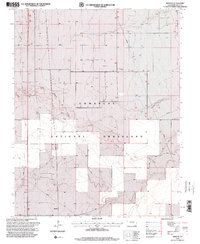
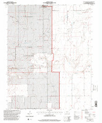
(22)- 1996 Map of Table Mesa, 2000 Print
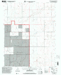
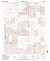
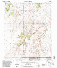 1996 Table Mesa2000 Print · USGSSoutheast Colorado in the late twentieth century remains a landscape of deep canyons and historic pathways along the Las Animas and Baca County border. Historians can trace the Santa Fe National Historic Trail and locate family landmarks like Robb Sch and the Robb Cem.
 - 1996 Map of Moore Draw SE, 2000 Print
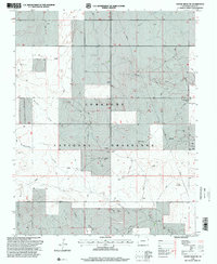
 1996 Moore Draw SE2000 Print · USGSThe high plains of Baca County come into focus in the mid-nineties, showing a landscape defined by public land management and seasonal watercourses. Researchers can trace the drainage of Moore Draw and locate specific features like the Wildlife Exclosure and several Gravel Pits.
 - 1996 Map of Springfield West, 2000 Print
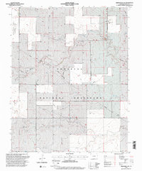
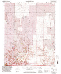
 1996 Springfield West2000 Print · USGSThe high plains of Baca County come into focus during the mid-nineties as the town of Springfield expands toward the prairie. Genealogists and local historians can locate the Springfield Cem, the County Fairground, and the expansive Comanche National Grassland.
 - 1996 Map of Campo, 2000 Print
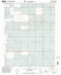
 1996 Campo2000 Print · USGSSoutheast Colorado's high plains are documented in the mid-nineties, showing the settlement of Campo surrounded by the expansive Comanche National Grassland. Researchers can trace old road networks, the local Cem, and natural water sources like Dripping Spring.
 - 1996 Map of Moore Draw NE, 2000 Print
 1996 Moore Draw NE2000 Print · USGSSoutheast Colorado's high plains are documented here in the mid-nineties, showing where the Comanche National Grassland meets active energy production. Researchers can trace land use through the Cimarron River valley, industrial Oil Wells, and several remote Gas Wells.
 - 1996 Map of Moore Draw SW, 2000 Print
 1996 Moore Draw SW2000 Print · USGSSoutheast Colorado's high plains are shown in the mid-1990s, revealing a landscape defined by the Comanche National Grassland and its deep draws. Researchers can locate the Mount Carmel Cem and trace seasonal watercourses like Moore Draw or Picket House Draw.
 - 1996 Map of Springfield SW, 2000 Print
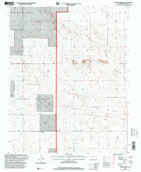
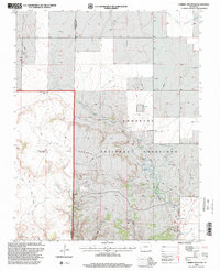
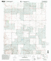
 1996 Springfield SW2000 Print · USGSBaca County’s high plains are documented here in the mid-1990s, showcasing the intersection of federal conservation and agricultural research. Local historians and land researchers can trace water infrastructure and range landmarks like Little Bankiter Well, the settlement of Liberty, and the Colorado State University Experiment Station.2 unique versions available
 - 1996 Map of Lone Rock, 2000 Print
 1996 Lone Rock2000 Print · USGSBaca County's high plains terrain is shown during the late nineties as a landscape of remote grazing land and energy infrastructure. Genealogists and local historians can locate remote burial sites at Prairie Queen Cem and Chapel Hill Cem along the Lone Rock Draw.
 - 1996 Map of Utleyville, 2000 Print
 1996 Utleyville2000 Print · USGSSoutheast Colorado ranching country is shown during the mid-1990s as the high plains began a shift toward conservation. Researchers can trace the layout of Utleyville, find local water sources like Little Mustang Creek, and see the extent of Comanche National Grassland.
 - 1996 Map of Furnish Canyon East, 2000 Print
 1996 Furnish Canyon East2000 Print · USGSThe tri-state border region of Colorado, New Mexico, and Oklahoma is shown here in the mid-1990s as a land of deep canyons and mesa tops. Researchers can trace remote 4WD trails to find the Dunlap Ranch, a lone Grave, and several scattered Mine sites.
 - 1996 Map of Campo NW, 2000 Print
 1996 Campo NW2000 Print · USGSSoutheast Colorado at the close of the century reveals a sprawling landscape of public ranching lands and remote high plains. Researchers can trace the path of the North Fork Cimarron River, locate the isolated Lone Star Cem, and explore the canyonlands of Ute Canyon.
 - 1996 Map of Campo SW, 2000 Print
 1996 Campo SW2000 Print · USGSSoutheast Colorado's high plains are documented in the mid-nineties, showing the public land patterns and drainage systems of the Comanche National Grassland. Researchers can trace the winding paths of North Ute Canyon and Squaw Canyon or locate remote landmarks like the Picture Canyon Picnic Area.
 - 1996 Map of Bisonte, 2000 Print
 1996 Bisonte2000 Print · USGSSoutheast Colorado during the late 1990s reveals a landscape of high plains ranching and conservation within the Comanche National Grassland. Researchers can trace old water sources like Big Bankiter Well and the settlement of Bisonte along Lone Rock Draw.
 - 1996 Map of Campo NE, 2000 Print
 1996 Campo NE2000 Print · USGSSoutheast Colorado in the late twentieth century is shown here as a vast grazing landscape managed within the Comanche National Grassland. Researchers can trace old ranching routes and water sources like the North Fork Cimarron River or find the remote Sandy Soil Ch.
 - 1996 Map of Edler, 2000 Print
 1996 Edler2000 Print · USGSThe Comanche National Grassland in the mid-nineties reveals a quiet landscape of prairie drainages and cattle country. Genealogists and researchers can trace the vicinity of Edler or follow the paths of North Ute Canyon and East Sand Canyon across the plains.
 - 1996 Map of Pritchett, 2000 Print
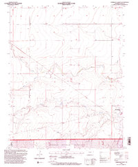
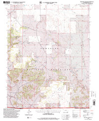
 1996 Pritchett2000 Print · USGSPritchett and the surrounding High Plains are captured here in the mid-1990s during a period of agricultural and forest service management. Researchers can locate the Number Five Cem, the Colorado State University Experiment Station, and the drainage of Lone Rock Draw.
 - 1996 Map of Vilas South, 2000 Print
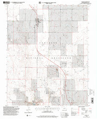
 1996 Vilas South2000 Print · USGSSoutheast Colorado in the late twentieth century is defined by its open grasslands and energy development. Researchers can trace the layout of Vilas and locate remote infrastructure like the Pumping Station and various Gas Wells throughout the Comanche National Grassland.
 - 1996 Map of Carrizo Mountain, 2000 Print
 1996 Carrizo Mountain2000 Print · USGSSoutheastern Colorado ranching country is mapped here in the late twentieth century, showing the remote high-plains landscape. Trace family roots at the Carrizo Springs Cem or locate cattle-era landmarks like Everett Ranch and Potato Butte.
 - 1996 Map of Big Hole Canyon, 2000 Print
 1996 Big Hole Canyon2000 Print · USGSSoutheast Colorado's high plains meet the Oklahoma border in the late nineties, where the grasslands are broken by deep canyons and life-sustaining springs. Researchers can find isolated landmarks like a lone Grave, the notable Big Hole, and named water sources including Trujillo Spring and Regnar Spring.
 - 1996 Map of Tubs Springs, 2000 Print
 1996 Tubs Springs2000 Print · USGSThe high plains of the Colorado and Oklahoma border are captured here in the late nineties, where ranching life persists within the Comanche National Grassland. Researchers can trace remote water sources and landmarks like Tubs Springs, Little Dandy Windmill, and a local Cem.
 - 1996 Map of Reader Lake, 2000 Print
 1996 Reader Lake2000 Print · USGSBaca County, Colorado, is captured here in the mid-1990s as a landscape of vast public grasslands and seasonal waterways. Genealogists and historians can trace the small settlement of Kirkwell, locate a solitary Grave, and map the arid basins of Reader Lake and Whitby Canyon.
 - 1997 Map of Moore Draw NW, 2000 Print
 1997 Moore Draw NW2000 Print · USGSThe high plains of Baca County come into focus during the late nineties, centered on the Comanche National Grassland. Genealogists and researchers can locate the Rodley Cem and trace the winding North Fork Cimarron River through this ranching landscape.
End of results
Showing maps 1-22 of 22
Top cities of Baca County
- Springfield historical maps
- Walsh historical maps
- Campo historical maps
- Pritchett historical maps
- Vilas historical maps
- Two Buttes historical maps
Frequently asked questions
- What are the different types of historical maps available for Baca County?
- What is the oldest map of Baca County?
- Where can I purchase historical maps of Baca County for my home or office?
- Where can I download high-res historical maps of Baca County?
- Are there historical topographic maps available for Baca County?
- Is there historical aerial imagery available for Baca County?
- Where are historical maps of Baca County sourced from?