Old Maps of Costilla County, Colorado for Hiking & Exploration
Hike through history with 89 historic maps of Costilla County. Explore old trails, ghost towns, and forgotten backroads — perfect for outdoor adventurers and local explorers.
- Rediscover forgotten places: Map out old mining camps, roads, and footpaths that no longer exist on modern maps.
- Layer with modern tools: Combine with LiDAR or satellite views to plan hikes through historical terrain.
- Made for exploration: Popular among hikers, overlanders, and local history lovers.
Use these maps to find adventure and explore the hidden past of Costilla County.
Costilla County, CO maps
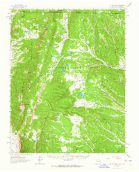
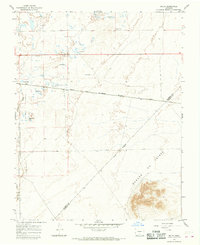
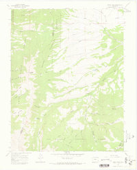
(89)- 1889 Map of Huerfano Park, 1961 Print
 1889 Huerfano Park1961 Print · USGSCovers Costilla County, including La Veta, Farisita, and other nearby areas
 - 1892 Map of Huerfano Park
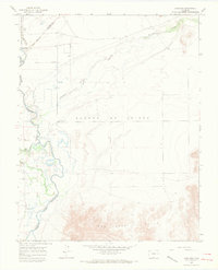
 1892 Huerfano Park1892 Print · USGSCovers Costilla County, including La Veta, Farisita, and other nearby areas5 unique versions available
 - 1954 Map of Raton, 1963 Print
 1954 Raton1963 Print · USGSCovers Costilla County, including Taos, Raton, and other nearby areas3 unique versions available
 - 1954 Map of Trinidad, 1963 Print
 1954 Trinidad1963 Print · USGSCovers Costilla County, including Alamosa, Trinidad, and other nearby areas2 unique versions available
 - 1955 Map of Trinidad, 1976 Print
 1955 Trinidad1976 Print · USGSCovers Costilla County, including Alamosa, Trinidad, and other nearby areas
 - 1958 Map of Raton
 1958 Raton1958 Print · USGSCovers Costilla County, including Taos, Raton, and other nearby areas3 unique versions available
 - 1958 Map of Trinidad
 1958 Trinidad1958 Print · USGSCovers Costilla County, including Alamosa, Trinidad, and other nearby areas
 - 1959 Map of Trinidad
 1959 Trinidad1959 Print · USGSCovers Costilla County, including Alamosa, Trinidad, and other nearby areas
 - 1962 Map of Ash Mountain, 1964 Print
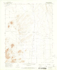
 1962 Ash Mountain1964 Print · USGSCovers Costilla County, including Ring Place, Banning Place, and other nearby areas3 unique versions available
 - 1963 Map of Mc Carty Park, 1966 Print
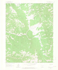 1963 Mc Carty Park1966 Print · USGSCovers Costilla County, including Fir, Huerfano County, and other nearby areas5 unique versions available
 - 1963 Map of La Veta Pass, 1966 Print
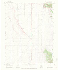
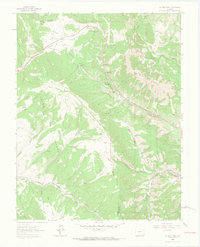 1963 La Veta Pass1966 Print · USGSCovers Costilla County, including La Veta Pass, Codo, and other nearby areas7 unique versions available
 - 1963 Map of Costilla, 1967 Print
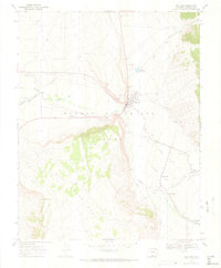
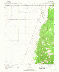 1963 Costilla1967 Print · USGSCovers Costilla County, including Costilla, Urraca Ranch, and other nearby areas3 unique versions available
 - 1963 Map of Amalia, 1967 Print
 1963 Amalia1967 Print · USGSCovers Costilla County, including Ventero, Amalia, and other nearby areas2 unique versions available
 - 1963 Map of Ute Mountain, 1967 Print
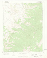
 1963 Ute Mountain1967 Print · USGSCovers Costilla County, including Taos County, Conejos County, and other nearby areas3 unique versions available
 - 1963 Map of Big Costilla Peak, 1968 Print
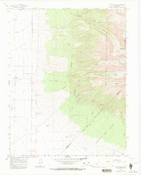
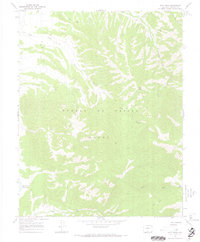
 1963 Big Costilla Peak1968 Print · USGSCovers Costilla County, including Taos County, United States, and other nearby areas3 unique versions available
 - 1965 Map of Blanca, 1968 Print
 1965 Blanca1968 Print · USGSCovers Costilla County, including Blanca, Alamosa County, and other nearby areas3 unique versions available
 - 1965 Map of Baldy, 1968 Print
 1965 Baldy1968 Print · USGSCovers Costilla County, including Alamosa County, United States, and other nearby areas2 unique versions available
 - 1965 Map of Lasauses, 1968 Print
 1965 Lasauses1968 Print · USGSCovers Costilla County, including Los Sauces, Alamosa County, and other nearby areas3 unique versions available
 - 1965 Map of Blanca SE, 1968 Print
 1965 Blanca SE1968 Print · USGSCovers Costilla County, including United States, Colorado, and other nearby areas3 unique versions available
 - 1965 Map of Twin Peaks, 1968 Print
 1965 Twin Peaks1968 Print · USGSCovers Costilla County, including Alamosa County, Huerfano County, and other nearby areas3 unique versions available
 - 1967 Map of San Luis, 1970 Print
 1967 San Luis1970 Print · USGSCovers Costilla County, including San Luis, San Pablo, and other nearby areas4 unique versions available
 - 1967 Map of La Valley, 1970 Print
 1967 La Valley1970 Print · USGSCovers Costilla County, including La Valley, San Francisco, and other nearby areas3 unique versions available
 - 1967 Map of Fort Garland SW, 1970 Print
 1967 Fort Garland SW1970 Print · USGSCovers Costilla County, including United States, Colorado, and other nearby areas5 unique versions available
 - 1967 Map of Ojito Peak, 1970 Print
 1967 Ojito Peak1970 Print · USGSCovers Costilla County, including United States, Colorado, and other nearby areas4 unique versions available
 - 1967 Map of Mosca Pass, 1970 Print
 1967 Mosca Pass1970 Print · USGSCovers Costilla County, including Alamosa County, Huerfano County, and other nearby areas3 unique versions available
Showing maps 1-25 of 89
Top cities of Costilla County
Frequently asked questions
- What are the different types of historical maps available for Costilla County?
- What is the oldest map of Costilla County?
- Where can I purchase historical maps of Costilla County for my home or office?
- Where can I download high-res historical maps of Costilla County?
- Are there historical topographic maps available for Costilla County?
- Is there historical aerial imagery available for Costilla County?
- Where are historical maps of Costilla County sourced from?