2000s (21st Century) Maps of Costilla County, Colorado
Explore 174 historic maps of Costilla County from the 2000s (21st Century). These maps offer a rare glimpse into what life looked like during the 2000s — showing old roads, neighborhoods, homes, and landmarks that have changed or disappeared over time.
Whether you're researching your family's past, planning a metal detecting trip, or studying how Costilla County's landscape evolved across the 2000s, these high-resolution maps are a powerful tool for exploring the history of this region.
- Focus on a specific era: All maps on this page are from the 2000s, giving you a focused view of this time period.
- See what’s changed: Compare century-old streets, trails, and buildings to today's modern landscape using overlays and satellite layers.
- Research with precision: Use these maps for genealogy, historical research, land use analysis, or educational projects.
- View, download, or print: Maps are fully viewable online in high resolution, and can be downloaded or printed for your own records.
Start exploring Costilla County's history through authentic maps from the 2000s. This is your window into the past.
Costilla County, CO maps
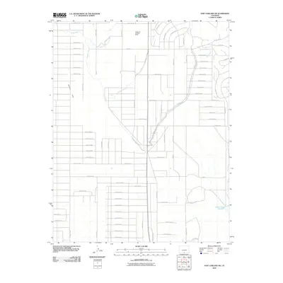
(174)- 2001 Map of Twin Peaks, 2005 Print
 2001 Twin Peaks2005 Print · USGSAlamosa and Costilla counties at the start of the millennium show a high-altitude landscape of wilderness boundaries and ranching roots. Researchers can trace family history at the Pioneer Urraca Cem or locate historical sites like the Swab Mine and the King Ranch.
 - 2001 Map of Red Wing, 2005 Print
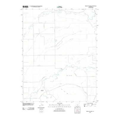
 2001 Red Wing2005 Print · USGSHuerfano County ranching and river life are preserved here at the opening of the millennium, where the valley floor meets the high peaks. Genealogists can locate family landmarks such as Chama Cem and the Gonzales Cem near the banks of the Huerfano River.
 - 2001 Map of Blanca Peak, 2005 Print
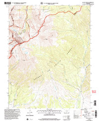 2001 Blanca Peak2005 Print · USGSThe Sangre de Cristo high country is captured here at the turn of the millennium, showing the intersection of three national forests and several fourteen-thousand-foot peaks. Researchers can trace historical routes like the Ute Trail and locate remote landmarks such as Arrowhead Ranch and Blanca Basin.
 - 2001 Map of Mosca Pass, 2005 Print
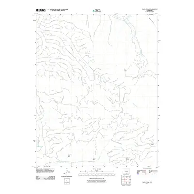
 2001 Mosca Pass2005 Print · USGSThe high-altitude divide of the Sangre de Cristo Mountains is documented here just after the turn of the millennium. Trace the paths of the Ute Trail and Raspberry Trail through the San Isabel National Forest and past Wilson Reservoir.
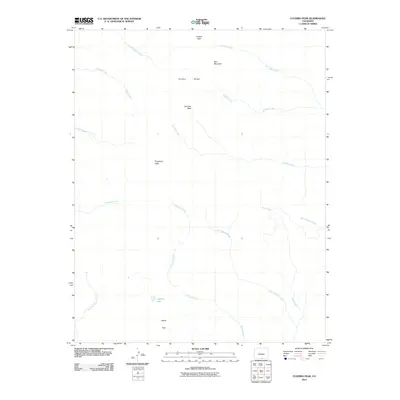
 - 2010 Map of Big Costilla Peak, 2010 Print
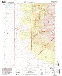
 2010 Big Costilla Peak2010 Print · USGSCovers Costilla County, including Taos County, United States, and other nearby areas
 - 2010 Map of Costilla, 2010 Print
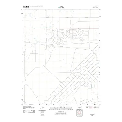
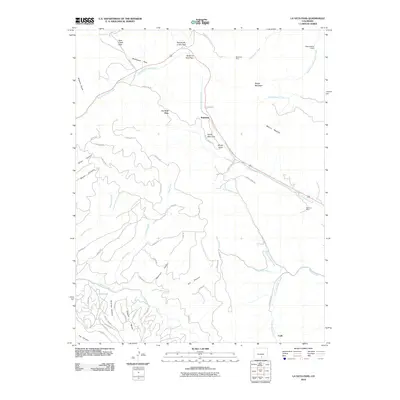
 2010 Costilla2010 Print · USGSCovers Costilla County, including Costilla, Urraca Ranch, and other nearby areas
 - 2010 Map of Amalia, 2010 Print
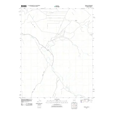 2010 Amalia2010 Print · USGSCovers Costilla County, including Amalia, Ventero, and other nearby areas
 - 2010 Map of Ute Mountain, 2010 Print
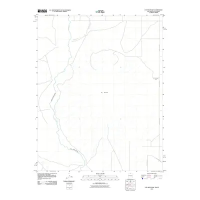 2010 Ute Mountain2010 Print · USGSCovers Costilla County, including Taos County, Conejos County, and other nearby areas
 - 2010 Map of Little Sheep Mountain, 2010 Print
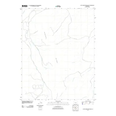 2010 Little Sheep Mountain2010 Print · USGSCovers Costilla County, including Huerfano County, United States, and other nearby areas
 - 2010 Map of Sky Valley Ranch, 2010 Print
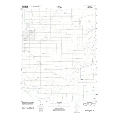 2010 Sky Valley Ranch2010 Print · USGSCovers Costilla County, including Eastdale, Conejos County, and other nearby areas
 - 2010 Map of Fort Garland SW, 2010 Print
 2010 Fort Garland SW2010 Print · USGSCovers Costilla County, including United States, Colorado, and other nearby areas
 - 2010 Map of Ojito Peak, 2010 Print
 2010 Ojito Peak2010 Print · USGSCovers Costilla County, including United States, Colorado, and other nearby areas
 - 2010 Map of Pikes Stockade, 2010 Print
 2010 Pikes Stockade2010 Print · USGSCovers Costilla County, including Alamosa County, Conejos County, and other nearby areas
 - 2010 Map of Taylor Ranch, 2010 Print
 2010 Taylor Ranch2010 Print · USGSCovers Costilla County, including United States, Colorado, and other nearby areas
 - 2010 Map of Blanca SE, 2010 Print
 2010 Blanca SE2010 Print · USGSCovers Costilla County, including United States, Colorado, and other nearby areas
 - 2010 Map of Trinchera Ranch, 2010 Print
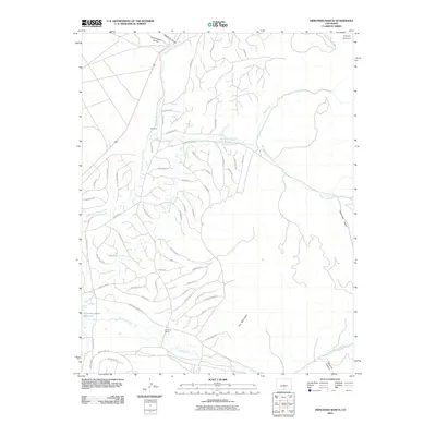 2010 Trinchera Ranch2010 Print · USGSCovers Costilla County, including United States, Colorado, and other nearby areas
 - 2010 Map of Baldy, 2010 Print
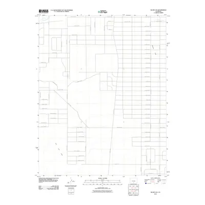
 2010 Baldy2010 Print · USGSCovers Costilla County, including Alamosa County, United States, and other nearby areas
 - 2010 Map of Russell, 2010 Print
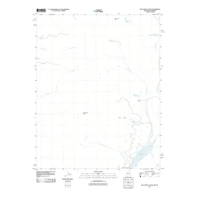
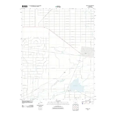
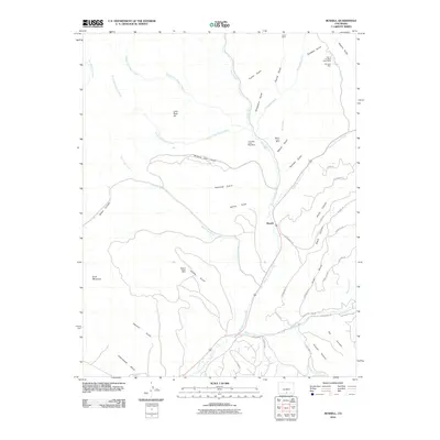 2010 Russell2010 Print · USGSCovers Costilla County, including Russell, United States, and other nearby areas
 - 2010 Map of La Veta Pass, 2010 Print
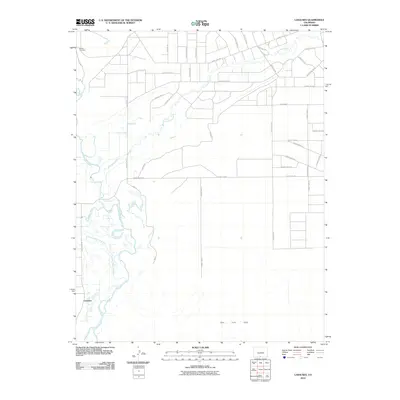
 2010 La Veta Pass2010 Print · USGSCovers Costilla County, including Muleshoe, Codo, and other nearby areas
 - 2010 Map of La Valley, 2010 Print
 2010 La Valley2010 Print · USGSCovers Costilla County, including San Francisco, La Valley, and other nearby areas
 - 2010 Map of Blanca, 2010 Print
 2010 Blanca2010 Print · USGSCovers Costilla County, including Blanca, Alamosa County, and other nearby areas
 - 2010 Map of Lasauses, 2010 Print
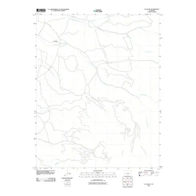
 2010 Lasauses2010 Print · USGSCovers Costilla County, including Los Sauces, Alamosa County, and other nearby areas
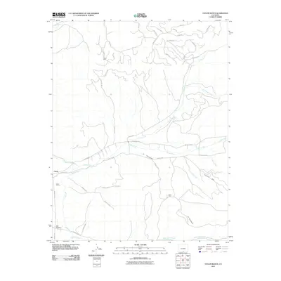
 - 2010 Map of Culebra Peak, 2010 Print
 2010 Culebra Peak2010 Print · USGSCovers Costilla County, including Las Animas County, United States, and other nearby areas
 - 2010 Map of Mesito Reservoir, 2010 Print
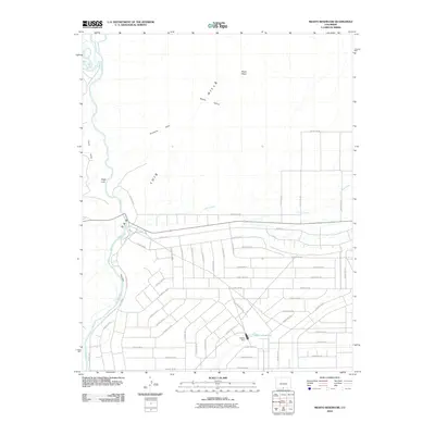 2010 Mesito Reservoir2010 Print · USGSCovers Costilla County, including Conejos County, United States, and other nearby areas
 - 2010 Map of San Acacio, 2010 Print
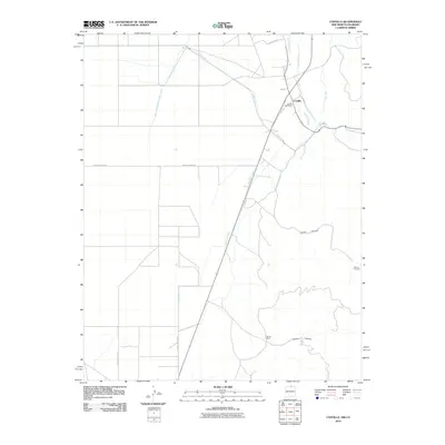
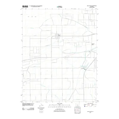 2010 San Acacio2010 Print · USGSCovers Costilla County, including Viejo San Acacio, San Acacio, and other nearby areas
Showing maps 1-25 of 174
Top cities of Costilla County
Frequently asked questions
- What are the different types of historical maps available for Costilla County?
- What is the oldest map of Costilla County?
- Where can I purchase historical maps of Costilla County for my home or office?
- Where can I download high-res historical maps of Costilla County?
- Are there historical topographic maps available for Costilla County?
- Is there historical aerial imagery available for Costilla County?
- Where are historical maps of Costilla County sourced from?