Old Maps of Costilla County, Colorado for Metal Detecting
Plan your next treasure hunt with 89 historic maps of Costilla County. Find old homesites, ghost towns, trails, and gathering spots that may be lost to time — perfect for identifying promising metal detecting locations.
- Locate forgotten sites: Uncover places like long-lost settlements, abandoned rail lines, or gathering spots.
- Plan better hunts: Use map overlays combined with LiDAR or satellite views to narrow in on historically rich areas.
- Made for detectorists: Thousands of hobbyists use these maps to discover relics, coins, and hidden history.
Use these historic maps to boost your research and find new opportunities beneath the surface of Costilla County.
Costilla County, CO maps
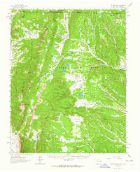
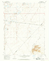
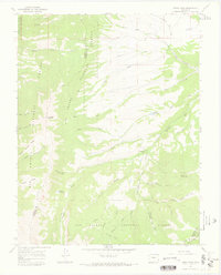
(89)- 1889 Map of Huerfano Park, 1961 Print
 1889 Huerfano Park1961 Print · USGSCovers Costilla County, including La Veta, Farisita, and other nearby areas
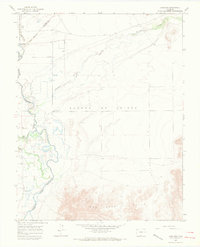
 - 1892 Map of Huerfano Park
 1892 Huerfano Park1892 Print · USGSCovers Costilla County, including La Veta, Farisita, and other nearby areas5 unique versions available
 - 1954 Map of Raton, 1963 Print
 1954 Raton1963 Print · USGSCovers Costilla County, including Taos, Raton, and other nearby areas3 unique versions available
 - 1954 Map of Trinidad, 1963 Print
 1954 Trinidad1963 Print · USGSCovers Costilla County, including Alamosa, Trinidad, and other nearby areas2 unique versions available
 - 1955 Map of Trinidad, 1976 Print
 1955 Trinidad1976 Print · USGSCovers Costilla County, including Alamosa, Trinidad, and other nearby areas
 - 1958 Map of Raton
 1958 Raton1958 Print · USGSCovers Costilla County, including Taos, Raton, and other nearby areas3 unique versions available
 - 1958 Map of Trinidad
 1958 Trinidad1958 Print · USGSCovers Costilla County, including Alamosa, Trinidad, and other nearby areas
 - 1959 Map of Trinidad
 1959 Trinidad1959 Print · USGSCovers Costilla County, including Alamosa, Trinidad, and other nearby areas
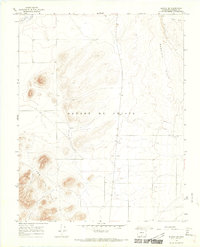
 - 1962 Map of Ash Mountain, 1964 Print
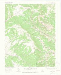
 1962 Ash Mountain1964 Print · USGSCovers Costilla County, including Ring Place, Banning Place, and other nearby areas3 unique versions available
 - 1963 Map of Mc Carty Park, 1966 Print
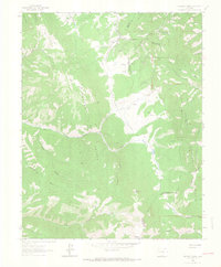 1963 Mc Carty Park1966 Print · USGSCovers Costilla County, including Fir, Huerfano County, and other nearby areas5 unique versions available
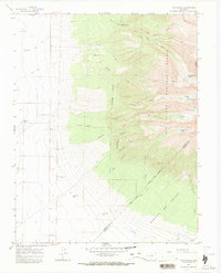
 - 1963 Map of La Veta Pass, 1966 Print
 1963 La Veta Pass1966 Print · USGSCovers Costilla County, including La Veta Pass, Codo, and other nearby areas7 unique versions available
 - 1963 Map of Costilla, 1967 Print
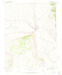
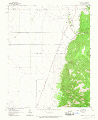 1963 Costilla1967 Print · USGSCovers Costilla County, including Costilla, Urraca Ranch, and other nearby areas3 unique versions available
 - 1963 Map of Amalia, 1967 Print
 1963 Amalia1967 Print · USGSCovers Costilla County, including Ventero, Amalia, and other nearby areas2 unique versions available
 - 1963 Map of Ute Mountain, 1967 Print
 1963 Ute Mountain1967 Print · USGSCovers Costilla County, including Taos County, Conejos County, and other nearby areas3 unique versions available
 - 1963 Map of Big Costilla Peak, 1968 Print
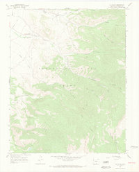
 1963 Big Costilla Peak1968 Print · USGSCovers Costilla County, including Taos County, United States, and other nearby areas3 unique versions available
 - 1965 Map of Blanca, 1968 Print
 1965 Blanca1968 Print · USGSCovers Costilla County, including Blanca, Alamosa County, and other nearby areas3 unique versions available
 - 1965 Map of Baldy, 1968 Print
 1965 Baldy1968 Print · USGSCovers Costilla County, including Alamosa County, United States, and other nearby areas2 unique versions available
 - 1965 Map of Lasauses, 1968 Print
 1965 Lasauses1968 Print · USGSCovers Costilla County, including Los Sauces, Alamosa County, and other nearby areas3 unique versions available
 - 1965 Map of Blanca SE, 1968 Print
 1965 Blanca SE1968 Print · USGSCovers Costilla County, including United States, Colorado, and other nearby areas3 unique versions available
 - 1965 Map of Twin Peaks, 1968 Print
 1965 Twin Peaks1968 Print · USGSCovers Costilla County, including Alamosa County, Huerfano County, and other nearby areas3 unique versions available
 - 1967 Map of San Luis, 1970 Print
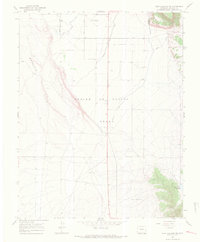
 1967 San Luis1970 Print · USGSCovers Costilla County, including San Luis, San Pablo, and other nearby areas4 unique versions available
 - 1967 Map of La Valley, 1970 Print
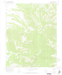
 1967 La Valley1970 Print · USGSCovers Costilla County, including La Valley, San Francisco, and other nearby areas3 unique versions available
 - 1967 Map of Fort Garland SW, 1970 Print
 1967 Fort Garland SW1970 Print · USGSCovers Costilla County, including United States, Colorado, and other nearby areas5 unique versions available
 - 1967 Map of Ojito Peak, 1970 Print
 1967 Ojito Peak1970 Print · USGSCovers Costilla County, including United States, Colorado, and other nearby areas4 unique versions available
 - 1967 Map of Mosca Pass, 1970 Print
 1967 Mosca Pass1970 Print · USGSCovers Costilla County, including Alamosa County, Huerfano County, and other nearby areas3 unique versions available
Showing maps 1-25 of 89
Top cities of Costilla County
Frequently asked questions
- What are the different types of historical maps available for Costilla County?
- What is the oldest map of Costilla County?
- Where can I purchase historical maps of Costilla County for my home or office?
- Where can I download high-res historical maps of Costilla County?
- Are there historical topographic maps available for Costilla County?
- Is there historical aerial imagery available for Costilla County?
- Where are historical maps of Costilla County sourced from?