2020s Maps of Dolores County, Colorado
Explore 36 historic maps of Dolores County from the 2020s. These maps offer a rare glimpse into what life looked like during the 2020s — showing old roads, neighborhoods, homes, and landmarks that have changed or disappeared over time.
Whether you're researching your family's past, planning a metal detecting trip, or studying how Dolores County's landscape evolved across the 2020s, these high-resolution maps are a powerful tool for exploring the history of this region.
- Focus on a specific era: All maps on this page are from the 2020s, giving you a focused view of this time period.
- See what’s changed: Compare century-old streets, trails, and buildings to today's modern landscape using overlays and satellite layers.
- Research with precision: Use these maps for genealogy, historical research, land use analysis, or educational projects.
- View, download, or print: Maps are fully viewable online in high resolution, and can be downloaded or printed for your own records.
Start exploring Dolores County's history through authentic maps from the 2020s. This is your window into the past.
Dolores County, CO maps
(36)- 2020 Map of Papoose Canyon, 2020 Print
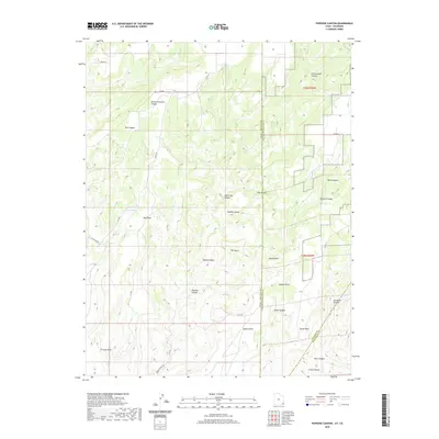 2020 Papoose Canyon2020 Print · USGSMontezuma County and the Utah borderlands are shown in this contemporary survey of a high-desert canyon system. Researchers can trace the winding paths of Nancy Patterson Canyon, locate Tucker Spring, and identify landmarks like Tin Cup Mesa.
 - 2020 Map of Ruin Point, 2020 Print
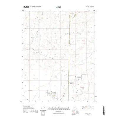 2020 Ruin Point2020 Print · USGSMontezuma County and the high desert of the Four Corners are seen here in this recent topographic survey. Researchers can trace the protected grounds of Hovenweep National Monument and locate landmarks like Ruin Point and Cajon Lake.
 - 2020 Map of Piute Knoll, 2020 Print
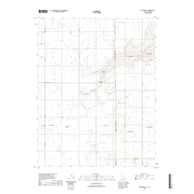 2020 Piute Knoll2020 Print · USGSThe Utah-Colorado borderlands are mapped here in the late twenty-teens, showing the intricate canyon systems and high flats. Researchers can trace the water history of this arid region through landmarks like Summit Spring, Pearson Wash, and Snyder Reservoir Number Two.
 - 2022 Map of Northdale, 2022 Print
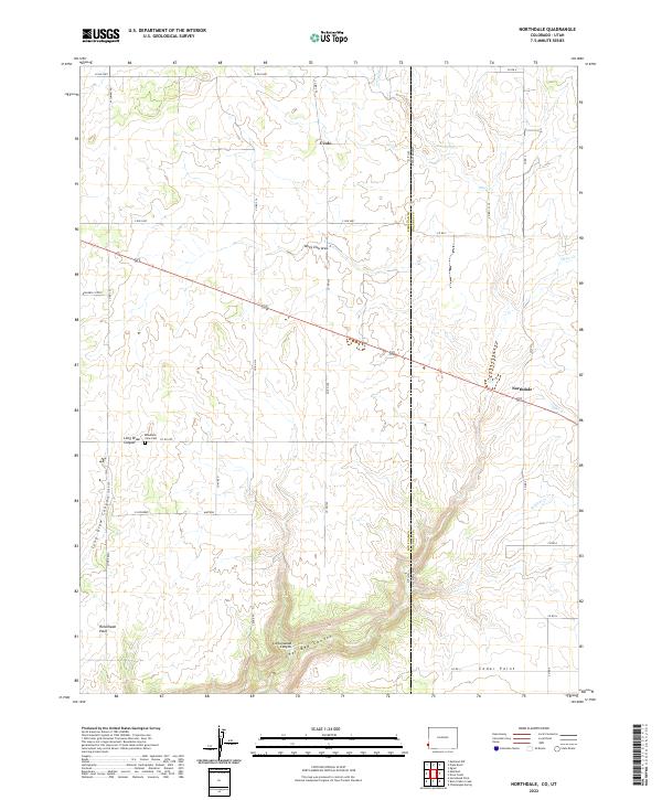 2022 Northdale2022 Print · USGSThe Colorado-Utah state line divides this high-plateau landscape near the settlements of Northdale and Ucolo during the early 2020s. Researchers can trace deep topographical features like Cottonwood Canyon and Horsehead Point alongside local landmarks such as Mountain View Cem.
 - 2022 Map of Beaver Park, 2022 Print
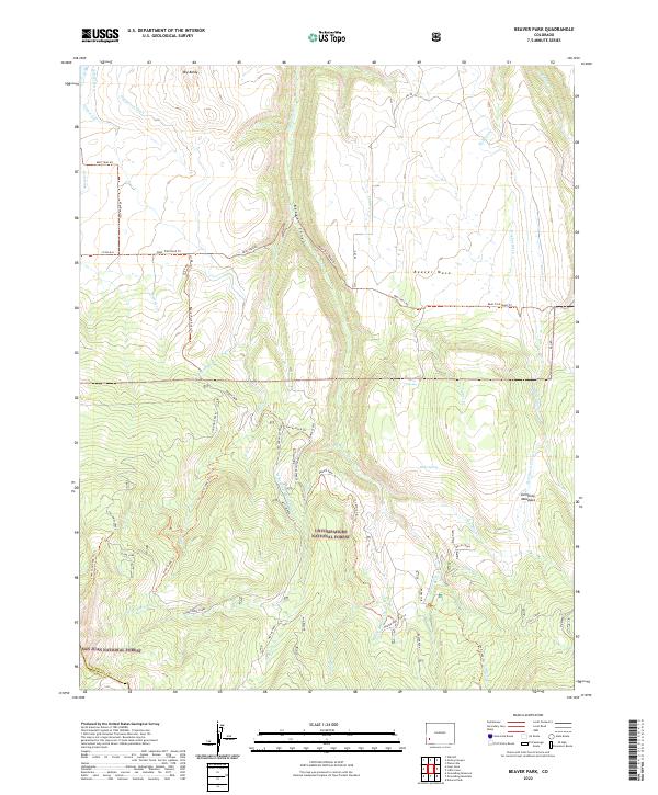 2022 Beaver Park2022 Print · USGSSan Miguel County's high-country forests and meadows are captured here in the early twenty-first century. Researchers can trace historical water rights and ranching routes through features like the Gurley Ditch, Pierce Spring, and the long Beef Trail Rd.
 - 2022 Map of Engineer Mountain, 2022 Print
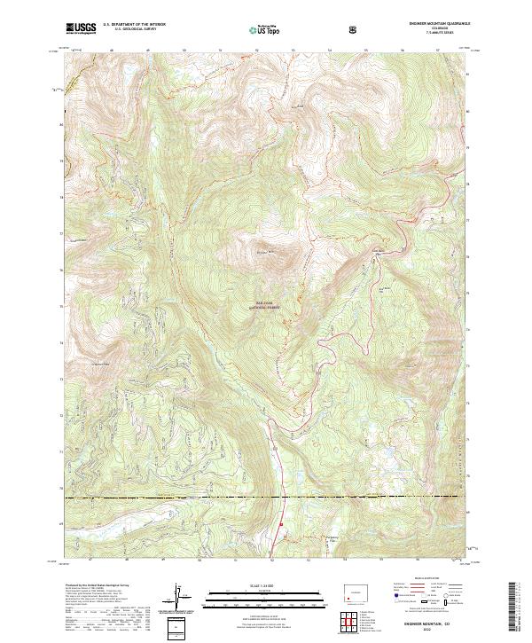 2022 Engineer Mountain2022 Print · USGSThe high alpine terrain of the San Juan Mountains is captured here just after the turn of the twenty-first century. Researchers can trace the path of the Rico-Silverton - Co Trail Trl past landmarks like Engineer Mtn and Coal Bank Pass.
 - 2022 Map of Dawson Draw, 2022 Print
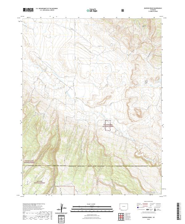 2022 Dawson Draw2022 Print · USGSSan Miguel and Dolores counties meet in this 2022 survey of the high desert and national forest lands. Researchers can trace historic water management and ranching routes through Disappointment Valley, Klondike Basin, and Dawson Draw.
 - 2022 Map of Doe Canyon, 2022 Print
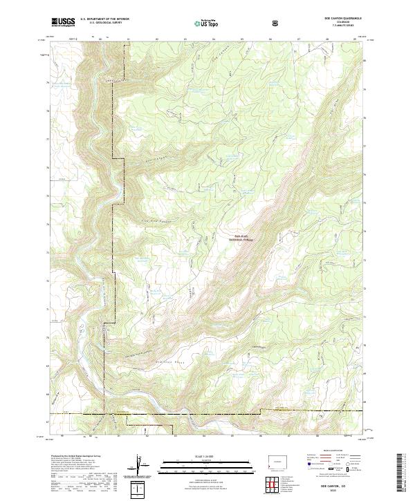 2022 Doe Canyon2022 Print · USGSThe Dolores River headwaters and San Juan National Forest are captured here in the early twenty-first century. Researchers can trace land use through specific water features like Rabit Hash Reservoir and family-named points such as Ormiston Point.
 - 2022 Map of Rico, 2022 Print
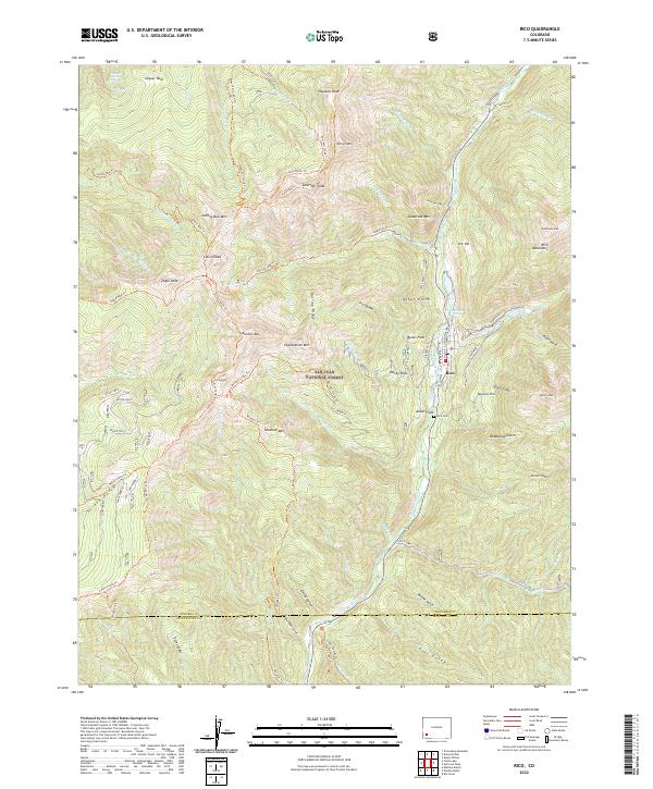 2022 Rico2022 Print · USGSThe high peaks and mining claims of the San Juan Mountains surround Rico in this recent survey. Historians and hikers can trace the Aztec Mine, locate the Rico Cem, and follow the historic path of the Rgs Winter Trl along the river.
 - 2022 Map of Willow Spring, 2022 Print
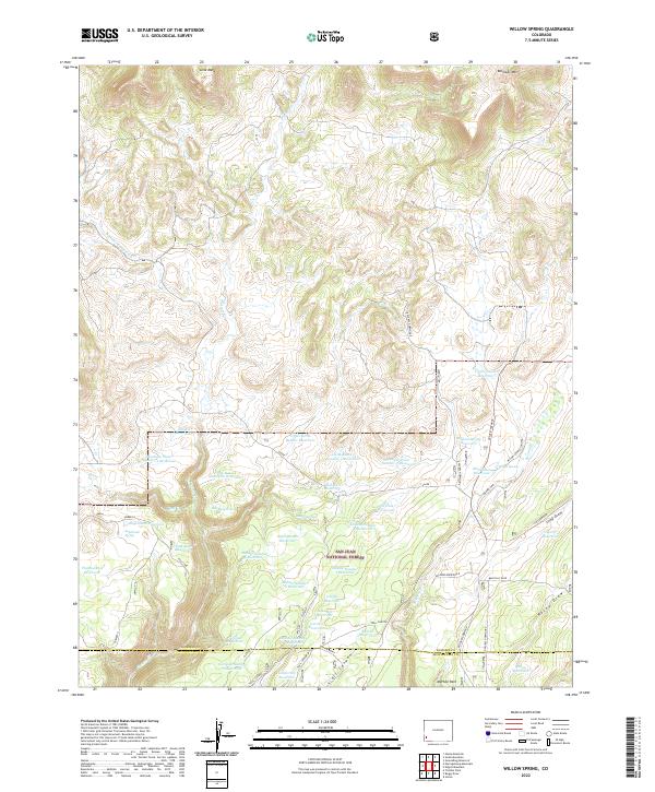 2022 Willow Spring2022 Print · USGSThe high mesa country of the Dolores and Montezuma county line is captured in this recent survey. Local historians can trace a dense network of upland water management sites like Old Station Reservoir, Willow Spring, and the high ridges of Lone Mesa.
 - 2022 Map of Nipple Mountain, 2022 Print
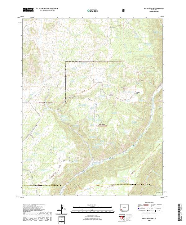 2022 Nipple Mountain2022 Print · USGSDolores and Montezuma counties in the early 2020s are mapped here as a high-elevation network of reservoirs and Forest Service trails. Researchers can trace land use patterns through features like Stoner Mesa, Mavreeso Canyon, and the West Dolores River.
 - 2022 Map of Dolores Peak, 2022 Print
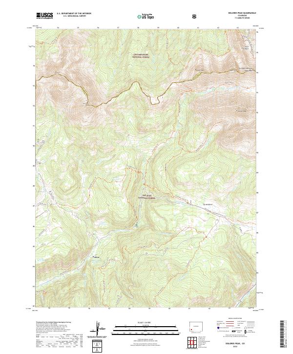 2022 Dolores Peak2022 Print · USGSHigh in the San Miguel Mountains during the 2020s, this area centers on the historic mining-turned-resort settlement of Dunton. Researchers can trace old alpine routes like the Groundhog Stock Driveway and locate landmarks such as Geyser Spring and Navajo Lake.
 - 2022 Map of Cahone, 2022 Print
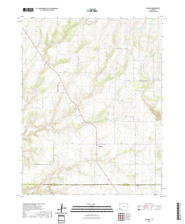 2022 Cahone2022 Print · USGSCahone and the high plateau of the Four Corners region are documented here in the early twenty-first century. Researchers can trace land use patterns around Cahone, locate the PO, and follow water infrastructure like the Dove Cr Canal.
 - 2022 Map of Secret Canyon, 2022 Print
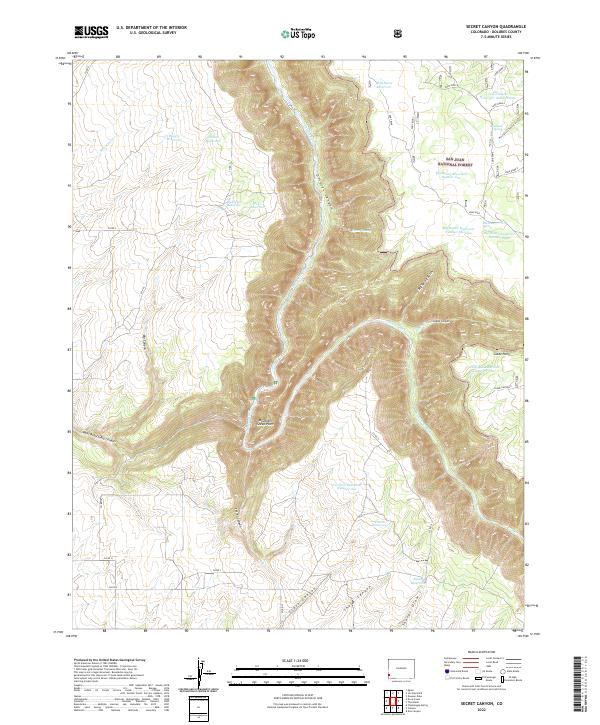 2022 Secret Canyon2022 Print · USGSDolores County’s high desert and canyon lands are captured in this recent survey, showcasing a landscape defined by the winding Dolores River. Researchers can trace intricate water management systems and remote landmarks like Mountain Sheep Point and Secret Canyon.
 - 2022 Map of Hermosa Peak, 2022 Print
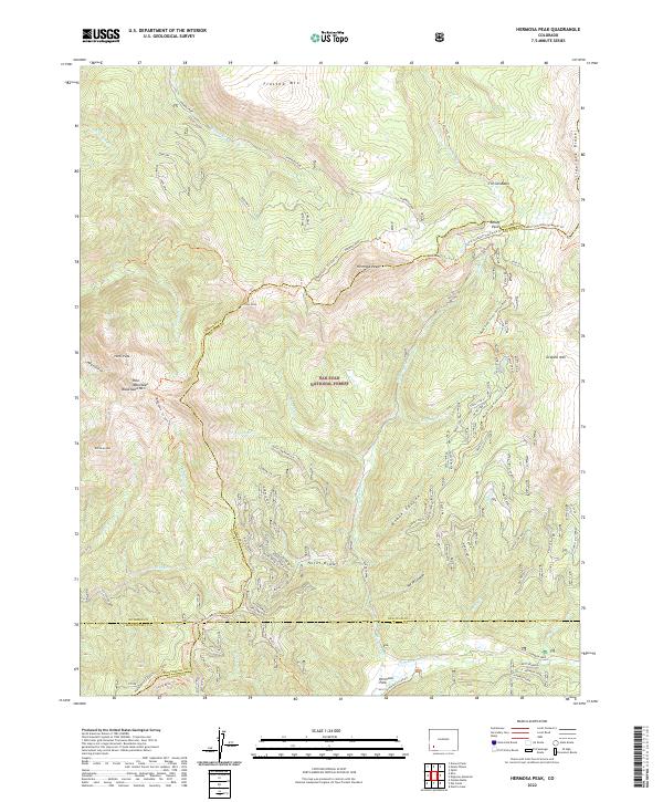 2022 Hermosa Peak2022 Print · USGSHigh alpine summits and historic transit routes dominate this corner of the San Juan Mountains in the early twenty-first century. Researchers can trace the paths of the Rico-Silverton-Co.trail Trl and Hermosa Creek Trl as they navigate landmark peaks like Hermosa Peak.
 - 2022 Map of Clyde Lake, 2022 Print
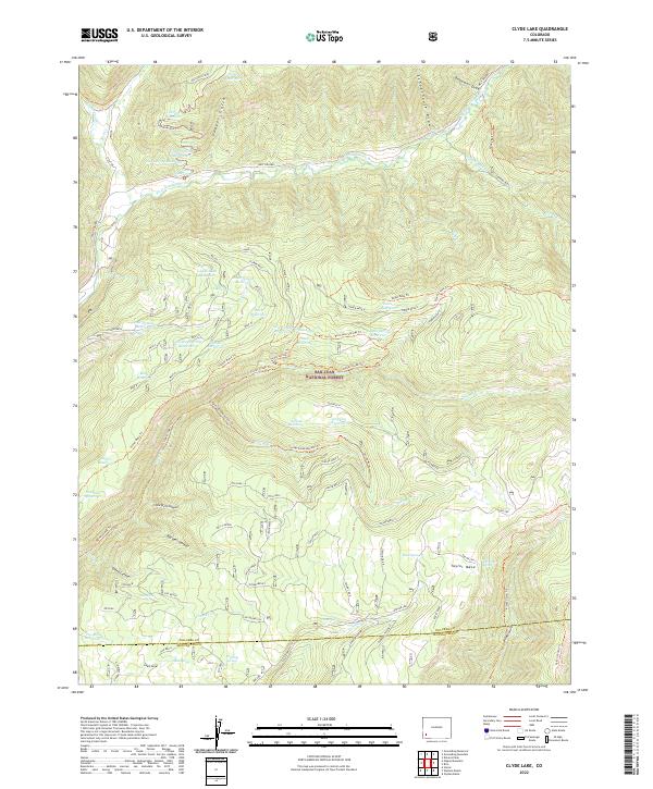 2022 Clyde Lake2022 Print · USGSThe high mesas of the San Juan National Forest come into focus during this 2022 survey of the Dolores and Montezuma county line. Researchers can trace intricate water systems and remote trail networks, from the West Dolores River to high-elevation landmarks like Clyde Lake and Big Hell Canyon.
 - 2022 Map of Glade Mountain, 2022 Print
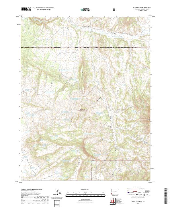 2022 Glade Mountain2022 Print · USGSDolores County during the early twenty-first century reveals a remote landscape of high-country water management and timberland. Researchers can trace the network of numbered catchments like Disappointment Number Nine Reservoir and local landmarks such as Glade Mtn and The Hogback.
 - 2022 Map of McKenna Peak, 2022 Print
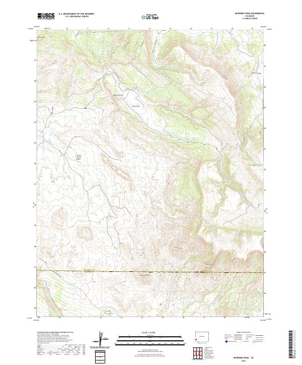 2022 McKenna Peak2022 Print · USGSHigh desert mesas and deep-cut canyons define this corner of San Miguel and Dolores counties in the 2020s. Researchers can trace land features and early claims such as Desert Claim, Brumley Point, and the notable summit of McKenna Peak.
 - 2022 Map of Egnar, 2022 Print
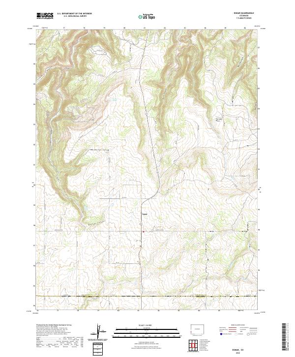 2022 Egnar2022 Print · USGSThe rural community of Egnar at the edge of San Miguel County is documented here during the early 2020s. Researchers can trace land use through local landmarks like The Spud Patch and follow water sources from Bishop Canyon Spring to Chico Cr.
 - 2022 Map of Groundhog Mountain, 2022 Print
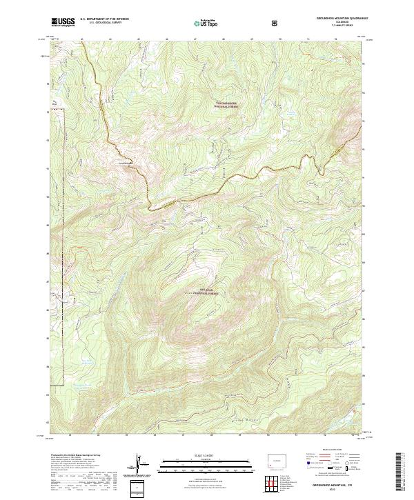 2022 Groundhog Mountain2022 Print · USGSThe high country of the San Juan and Uncompahgre national forests comes to life in this recent survey. Local researchers can trace water rights and grazing routes through the Little Fish Cr Ditch, Nelson Reservoir, and Paradise Warm Spring.
 - 2022 Map of Dove Creek, 2022 Print
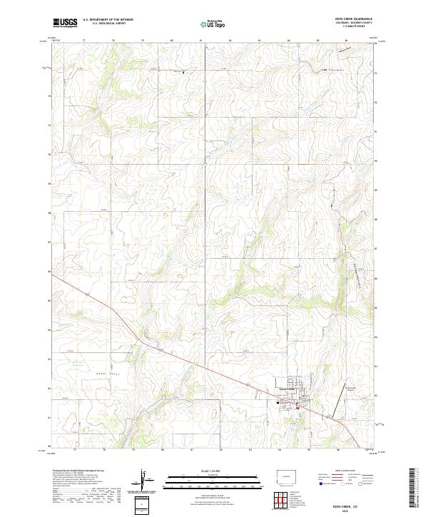 2022 Dove Creek2022 Print · USGSThe high plateau of Dolores County comes into focus here, showing the intersection of agricultural life and the rugged drainage of the Four Corners region. Genealogists and local historians can locate family landmarks like the Peel Cem, the Dolores County Courthouse, and the settlement at Cedar Point.
 - 2022 Map of South Mountain, 2022 Print
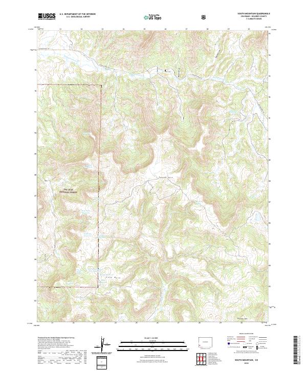 2022 South Mountain2022 Print · USGSDolores County in the early twenty-first century remains a landscape of high plateaus and remote forest service lands. Researchers can trace historic water rights and land use through Nash Cem and numerous catchments like Black Jack Reservoir and Neil Reservoir.
 - 2022 Map of North Mountain, 2022 Print
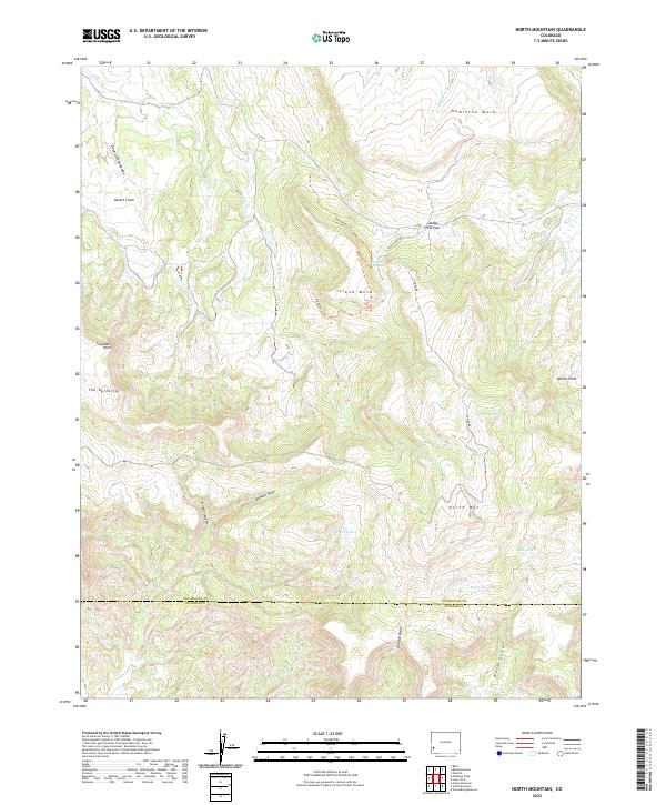 2022 North Mountain2022 Print · USGSThe high mesa country of the San Miguel and Dolores county line is captured here in the early twenty-first century. Researchers can trace historical water infrastructure and mountain landmarks like the Lilylands Canal, Sandys Fort Pass, and North Mountain.
 - 2022 Map of The Glade, 2022 Print
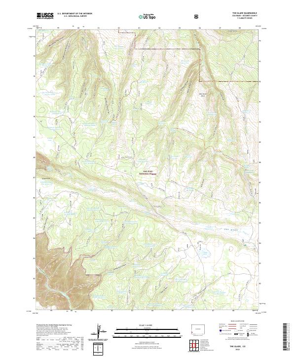 2022 The Glade2022 Print · USGSDolores County’s high plateau is documented here in the early twenty-first century, showcasing a landscape defined by forest management and water conservation. Researchers can trace the extensive network of springs and basins including Corral Lake, Fader Spring, and the unique The 513 Connector Trl.
 - 2022 Map of Ophir, 2022 Print
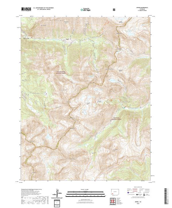 2022 Ophir2022 Print · USGSThe high San Miguel Mountains around Ophir and the Ophir Loop are captured here in the early twenty-first century. Genealogists and historians can trace the legacy of mining and mountain travel through sites like Iron Springs, Ophir Pass, and the Galloping Goose Trl.
Showing maps 1-25 of 36
Top cities of Dolores County
Frequently asked questions
- What are the different types of historical maps available for Dolores County?
- What is the oldest map of Dolores County?
- Where can I purchase historical maps of Dolores County for my home or office?
- Where can I download high-res historical maps of Dolores County?
- Are there historical topographic maps available for Dolores County?
- Is there historical aerial imagery available for Dolores County?
- Where are historical maps of Dolores County sourced from?