1960s Maps of Gunnison County, Colorado
Explore 63 historic maps of Gunnison County from the 1960s. These maps offer a rare glimpse into what life looked like during the 1960s — showing old roads, neighborhoods, homes, and landmarks that have changed or disappeared over time.
Whether you're researching your family's past, planning a metal detecting trip, or studying how Gunnison County's landscape evolved across the 1960s, these high-resolution maps are a powerful tool for exploring the history of this region.
- Focus on a specific era: All maps on this page are from the 1960s, giving you a focused view of this time period.
- See what’s changed: Compare century-old streets, trails, and buildings to today's modern landscape using overlays and satellite layers.
- Research with precision: Use these maps for genealogy, historical research, land use analysis, or educational projects.
- View, download, or print: Maps are fully viewable online in high resolution, and can be downloaded or printed for your own records.
Start exploring Gunnison County's history through authentic maps from the 1960s. This is your window into the past.
Gunnison County, CO maps
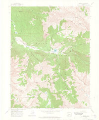
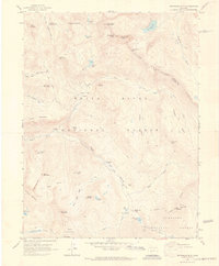
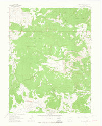
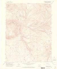
(63)- 1960 Map of Leadville
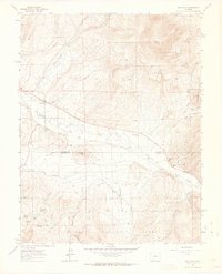
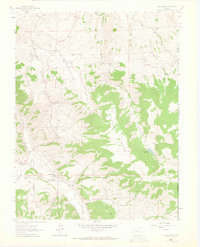
 1960 Leadville1960 Print · USGSThe Colorado high country in the mid-fifties comes alive through its mining camps, river valleys, and rail lines. Trace the industrial legacy of the Climax Molybdenum Mine and explore the alpine reaches of the Camp Hale Military Reservation.2 unique versions available
 - 1960 Map of Montrose
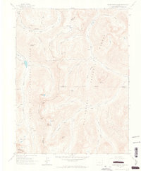
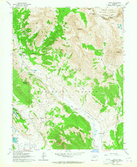
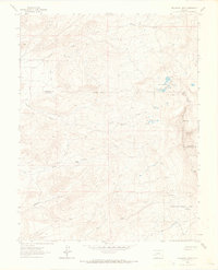
 1960 Montrose1960 Print · USGSThe Colorado high country in the mid-fifties is captured here during a period of steady ranching and persistent mining. Researchers can trace the path of the Denver & Rio Grande Western RR or locate small settlements like Somerset, Maher, and Sargent.2 unique versions available
 - 1960 Map of Marble, 1964 Print
 1960 Marble1964 Print · USGSThe town of Marble and its famed high-altitude quarries are captured here in the early sixties. Researchers can trace the industrial footprint of the Yule Quarry, locate the Marble Cem, and identify old homesteads like Bair Ranch and Prospect Ranch.5 unique versions available
 - 1960 Map of Maroon Bells, 1964 Print
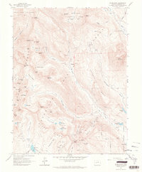
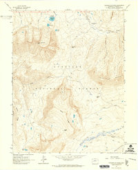
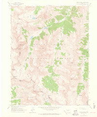 1960 Maroon Bells1964 Print · USGSThe high peaks of the Elk Mountains define this Pitkin County landscape during the early 1960s. Outdoor enthusiasts and historians can trace the paths of the Minnehaha Trail and locate remote landmarks like Conundrum Hot Springs and the Conundrum Guard Station.8 unique versions available
 - 1960 Map of Hayden Peak, 1964 Print
 1960 Hayden Peak1964 Print · USGSHigh in the Elk Mountains during the early sixties, this area shows the intersection of mining history and nascent alpine recreation. Trace old mineral claims like Hope Mine and the Montezuma Mine or locate the site of Ashcroft.6 unique versions available
 - 1960 Map of New York Peak, 1964 Print
 1960 New York Peak1964 Print · USGSThe high alpine country of Pitkin County in the early sixties showcases a rugged landscape of water engineering and wilderness recreation. Trace the routes of a New York Collection Canal or find remote landmarks like Devils Punchbowl and Tabor Lake.5 unique versions available
 - 1960 Map of Snowmass Mountain, 1964 Print
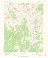
 1960 Snowmass Mountain1964 Print · USGSHigh in the Elk Mountains during the early 1960s, this area preserves the layout of remote mining camps and high-alpine passes. Researchers can trace the Schofield settlement and locate historic workings like the Baroni Mine and Silver Spruce Mine.9 unique versions available
 - 1960 Map of Independence Pass, 1965 Print
 1960 Independence Pass1965 Print · USGSThe high country around the Continental Divide was still a landscape of active water engineering and remnant mining in the 1960s. Researchers can trace the trans-basin New York Collection Canal and find mining era sites like Independence and Ruby Mine.5 unique versions available
 - 1961 Map of Electric Mountain, 1963 Print
 1961 Electric Mountain1963 Print · USGSHigh-altitude ranching and forest management define this corner of the Rockies in the early sixties. Researchers can trace the legacy of family-run operations at Novella Bell Ranch or locate backcountry landmarks like Chimney Rocks and the West Muddy Ranger Sta.4 unique versions available
 - 1961 Map of Crested Butte, 1964 Print
 1961 Crested Butte1964 Print · USGSCrested Butte and the surrounding high country are captured here in the early sixties, as mining roots met a growing ranching and recreational landscape. Researchers can trace the Old Railroad Grade, locate the Bulkley Mine (Site), and identify family holdings like Cold Spring Ranch.4 unique versions available
 - 1961 Map of Spruce Mountain, 1964 Print
 1961 Spruce Mountain1964 Print · USGSMesa County and the surrounding national forests are captured here in the early 1960s during a period of high-country ranching and resource exploration. Trace the locations of Buzzard Cow Camp and Oil Well Camp, or locate the Drill Hole and old Pack Trail through the timber.4 unique versions available
 - 1961 Map of Oh-Be-Joyful, 1964 Print
 1961 Oh-Be-Joyful1964 Print · USGSThe high peaks of the Colorado Rockies meet a fading mining era in the early sixties, as industry and alpine recreation begin to overlap. Researchers can trace historic mineral claims like the Pittsburg Mine or follow the Old Railroad Grade past Lake Irwin.5 unique versions available
 - 1961 Map of Mount Axtell, 1964 Print
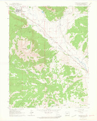
 1961 Mount Axtell1964 Print · USGSGunnison County is documented during the early 1960s, showing a landscape shaped by high-country mining and early rail corridors. Researchers can trace the Old Railroad Grade past the Ruby Site or locate the Baldwin Mine and Irwin Cem.4 unique versions available
 - 1961 Map of Cement Mountain, 1964 Print
 1961 Cement Mountain1964 Print · USGSGunnison County is seen here in the early 1960s, showing a high mountain landscape defined by seasonal cabins and forest management. Researchers can trace historic access routes like the Deadman Gulch Pack Trail and find landmarks such as the Cement Summer Home Group and Hot Spring.5 unique versions available
 - 1961 Map of Marcellina Mountain, 1964 Print
 1961 Marcellina Mountain1964 Print · USGSGunnison County high country is shown in the early 1960s, a time when livestock movements and seasonal camps defined the landscape. You can trace the Munsey Ruby Stock Driveway past Marcellina Mtn and locate the remote West Side Cow Camp.5 unique versions available
 - 1961 Map of Gothic, 1964 Print
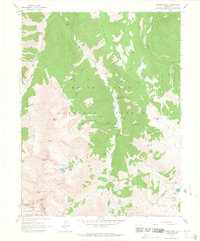
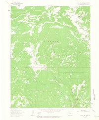
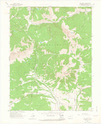
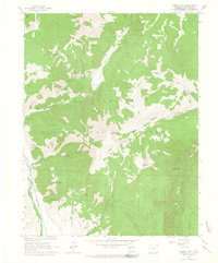
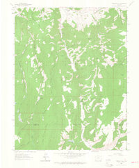
 1961 Gothic1964 Print · USGSThe high alpine country of Gunnison County is captured here in the early sixties, showing the settlement of Gothic before its modern expansion. Researchers can trace the early ski infrastructure of Crested Butte, locate the Brush Creek Cow Camp, and find the small Cem tucked near the East River.7 unique versions available
 - 1961 Map of Anthracite Range, 1964 Print
 1961 Anthracite Range1964 Print · USGSGunnison County in the early 1960s is depicted here as a landscape of high summits and seasonal camps. Researchers can trace historic mountain routes through Swampy Pass or Beckwith Pass and locate remote sites like the Castle Creek Cow Camp.7 unique versions available
 - 1961 Map of Pearl Pass, 1965 Print
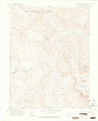
 1961 Pearl Pass1965 Print · USGSThe high Elk Mountains at the start of the 1960s were a network of primitive routes for explorers and miners. Follow jeep trails and pack trails past high-altitude prospects, Carbonate Hill, and the remote crossing at Pearl Pass.3 unique versions available
 - 1962 Map of Leadville
 1962 Leadville1962 Print · USGSThe Colorado high country in the early sixties was a rugged landscape of mining camps, military training grounds, and emerging ski towns. Researchers can trace the legacy of Camp Hale, locate the Molybdenum mine near Leadville, and follow the Denver and Rio Grande Western RR through the canyons.
 - 1962 Map of Doyleville, 1964 Print
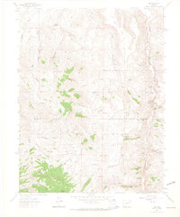
 1962 Doyleville1964 Print · USGSHigh in the Rockies during the early sixties, this area shows the ranching and rail heritage of the Tomichi Creek valley. Trace the Old Railroad Grade past Doyleville and find family-named landmarks like Pleasant View Ranch and Monson Gulch.3 unique versions available
 - 1962 Map of Rudolph Hill, 1964 Print
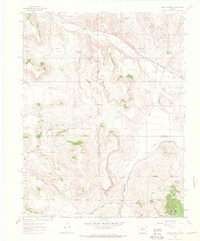
 1962 Rudolph Hill1964 Print · USGSGunnison County ranching and mountain terrain are captured here in the early sixties, showing the remote homesteads and rugged drainages of the region. Researchers can locate family landmarks like Sammons Ranch and Inside Ranch or the Powderhorn Cem.3 unique versions available
 - 1962 Map of Iris, 1964 Print
 1962 Iris1964 Print · USGSGunnison and Saguache Counties are captured here in the early sixties, a period when isolated mining claims and family homesteads still dotted the high gulches. Genealogists and historians can locate the Iris Cem, the settlement of Iris, and specific operations like the Lucky Strike Mine or Sillsville.4 unique versions available
 - 1962 Map of Houston Gulch, 1964 Print
 1962 Houston Gulch1964 Print · USGSGunnison County ranching and mountain rail history are preserved in this early 1960s survey. Researchers can trace the path of the Old Railroad Grade and locate historical landmarks like the Alaska Mine and Green Mesa Ranch.2 unique versions available
 - 1962 Map of Powderhorn, 1964 Print
 1962 Powderhorn1964 Print · USGSGunnison County ranching and mining operations are captured here in the early sixties. Researchers can locate family landmarks like Youmans Ranch and trace mining history at Vulcan, Spencer, and the Ironcap Mine.3 unique versions available
 - 1963 Map of Buckhorn Lakes, 1966 Print
 1963 Buckhorn Lakes1966 Print · USGSOuray and Montrose counties in the early 1960s were a landscape of high-country ranching and mining. Researchers can trace the heritage of remote landmarks like Comerer Ranch, Tyler Mine, and the high-altitude waters of Buckhorn Lakes.3 unique versions available
Showing maps 1-25 of 63
Top cities of Gunnison County
- Gunnison historical maps
- Crested Butte historical maps
- Mount Crested Butte historical maps
- Marble historical maps
- Pitkin historical maps
Frequently asked questions
- What are the different types of historical maps available for Gunnison County?
- What is the oldest map of Gunnison County?
- Where can I purchase historical maps of Gunnison County for my home or office?
- Where can I download high-res historical maps of Gunnison County?
- Are there historical topographic maps available for Gunnison County?
- Is there historical aerial imagery available for Gunnison County?
- Where are historical maps of Gunnison County sourced from?