2000-2009 Maps of Gunnison County, Colorado
Explore 43 historic maps of Gunnison County from 2000-2009. These maps offer a rare glimpse into what life looked like during the 2000s — showing old roads, neighborhoods, homes, and landmarks that have changed or disappeared over time.
Whether you're researching your family's past, planning a metal detecting trip, or studying how Gunnison County's landscape evolved across the 2000s, these high-resolution maps are a powerful tool for exploring the history of this region.
- Focus on a specific era: All maps on this page are from the 2000s, giving you a focused view of this time period.
- See what’s changed: Compare century-old streets, trails, and buildings to today's modern landscape using overlays and satellite layers.
- Research with precision: Use these maps for genealogy, historical research, land use analysis, or educational projects.
- View, download, or print: Maps are fully viewable online in high resolution, and can be downloaded or printed for your own records.
Start exploring Gunnison County's history through authentic maps from the 2000s. This is your window into the past.
Gunnison County, CO maps
(43)- 2001 Map of Almont, 2004 Print
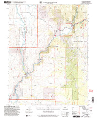 2001 Almont2004 Print · USGSAlmont sits at the birth of the Gunnison River at the turn of the twenty-first century, where mountain waters meet forest management. Genealogists and researchers can locate the small settlement of Jacks Cabin, the local Cem, and the Rippers Work Center within the Gunnison National Forest.
 - 2001 Map of Anthracite Range, 2004 Print
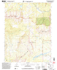 2001 Anthracite Range2004 Print · USGSGunnison National Forest at the turn of the millennium contains some of Colorado's most striking high-country terrain. Researchers can trace historic backcountry routes and landmarks like Castle Creek Cow Camp, Beckwith Pass, and the Lowline Trail.
 - 2001 Map of Sargents, 2004 Print
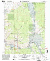 2001 Sargents2004 Print · USGSGunnison County high country at the turn of the millennium shows a landscape shaped by water and high mountain passes. Genealogists and local historians can trace the routes of Marshall Pass Road, the settlement of Sargents, and family-named landmarks like Deacon Jones Gulch.
 - 2001 Map of Flat Top, 2004 Print
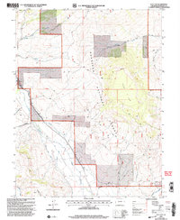 2001 Flat Top2004 Print · USGSThe Gunnison high country and its vital irrigation networks are documented here at the start of the twenty-first century. Researchers can trace historic water diversions like Teachout Ditch and Lone Pine Ditch or locate a high-elevation Mine.
 - 2001 Map of Bowie, 2004 Print
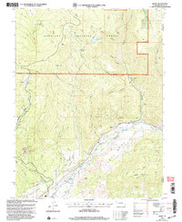 2001 Bowie2004 Print · USGSThe coal and water networks of Delta County are in full view around the turn of the millennium. Trace the industrial landscape of the Bowie Mine and Juanita Junction, or locate family-named landmarks like Morrell Cow Camp and Stevens Gulch.
 - 2001 Map of Electric Mountain, 2004 Print
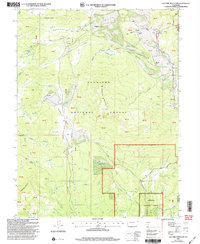 2001 Electric Mountain2004 Print · USGSThe high Colorado backcountry of the Gunnison and Delta county line is shown here at the turn of the millennium. Researchers can trace ranching history at Norells Bell Ranch, follow the Terror Trail, or locate the West Muddy Ranger Sta.
 - 2001 Map of Cement Mountain, 2004 Print
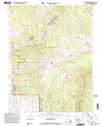 2001 Cement Mountain2004 Print · USGSThe high country of the Gunnison National Forest is captured here at the turn of the millennium. Researchers can trace the drainage of Cement Creek and locate landmarks like the Cement Summer Home Group and Deadman Spring.
 - 2001 Map of West Elk Peak SW, 2004 Print
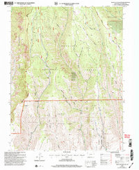 2001 West Elk Peak SW2004 Print · USGSGunnison County is shown at the start of the millennium as a preserved mountain landscape of forest and wilderness. Outdoor historians can trace the timber and water history of the area through sites like Slab Mill Gulch, Tenderfoot Hill, and West Elk Creek.
 - 2001 Map of Whitepine, 2004 Print
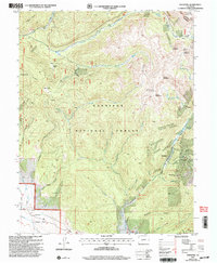 2001 Whitepine2004 Print · USGSHigh-altitude mining camps and mountain passes define this Gunnison County landscape at the start of the twenty-first century. Genealogists and researchers can trace the history of Whitepine and Eldorado while locating the North Star Mine and local Cem.
 - 2001 Map of Italian Creek, 2004 Print
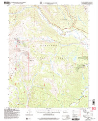 2001 Italian Creek2004 Print · USGSGunnison County is seen here at the start of the millennium, revealing a landscape where high-mountain wilderness meets a deep mining heritage. Researchers can trace historic extraction sites like the Forest Hill Mine and Star Mine near the settlement of Dorchester.
 - 2001 Map of Oh-Be-Joyful, 2004 Print
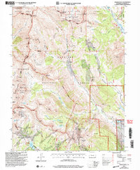 2001 Oh-Be-Joyful2004 Print · USGSGunnison County's high-altitude mining basins and wilderness borders are meticulously detailed at the turn of the millennium. Researchers can trace the footprints of old mining camps at Pittsburg and Elkton, or locate family-named sites like the Painter Boy Mine and Augusta Mine.
 - 2001 Map of Fairview Peak, 2004 Print
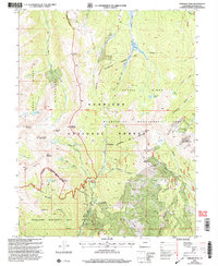 2001 Fairview Peak2004 Print · USGSGunnison County's high-country mining and wilderness boundaries are captured here at the turn of the millennium. Researchers can trace the heritage of local extraction at the Fairview Mine and explore the alpine trails around Henry Lake and Fairview Peak.
 - 2001 Map of Chair Mountain, 2004 Print
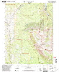 2001 Chair Mountain2004 Print · USGSGunnison and Pitkin counties appear at the turn of the millennium as a landscape of high summits and working ranch lands. Researchers can trace land use through Jacobs Ranch, the Twin Forks Ditch, and mining Prospects near Chair Mountain.
 - 2001 Map of Matchless Mountain, 2004 Print
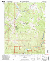 2001 Matchless Mountain2004 Print · USGSGunnison County high country at the turn of the century shows a landscape transitioning from mining to wilderness preservation. Trace old resource claims like Doctor Mine or find recreation landmarks such as Spring Creek Reservoir and the Colorado Trail.
 - 2001 Map of Somerset, 2004 Print
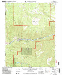 2001 Somerset2004 Print · USGSIn the Gunnison River valley at the turn of the millennium, this area was a busy center for coal production and high-country ranching. Researchers can trace the footprint of the Kaiser Mine, the path of the Fire Mountain Canal, and remote sites like Dry Fork Cow Camp.
 - 2001 Map of X Lazy F Ranch, 2004 Print
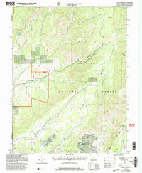 2001 X Lazy F Ranch2004 Print · USGSGunnison and Montrose counties at the start of the millennium offer a detailed look at high-country ranching and forest land. Researchers can trace the routes of the Hartman Trail to reach remote outposts like Childress Cow Camp and Winter Cabin.
 - 2001 Map of Sapinero, 2004 Print
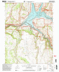 2001 Sapinero2004 Print · USGSGunnison County is defined by its deep canyons and rising mesas at the turn of the millennium. Genealogists and historians can locate the Sapinero settlement, the Elizondo Ranch, and the dramatic topography of the Gunnison Black Canyon of the River.
 - 2001 Map of Bull Mountain, 2004 Print
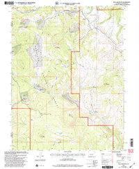 2001 Bull Mountain2004 Print · USGSHigh-country ranching and forest management define this Colorado landscape at the turn of the millennium. Researchers can trace seasonal land use through isolated sites like Cockroft Cow Camp, Patterson Place, and Hotchkiss Sheep Camp.
 - 2001 Map of Mount Guero, 2004 Print
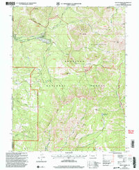 2001 Mount Guero2004 Print · USGSGunnison National Forest in the early 2000s reveals a landscape of high-country ranching and wilderness. Genealogists and historians can trace family-named landmarks like Hawks-Nest Ranch alongside remote features like Bald Mountain Reservoir and the Through Trail.
 - 2001 Map of Pitkin, 2004 Print
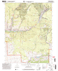 2001 Pitkin2004 Print · USGSPitkin and the surrounding Gunnison County high country are mapped here at the start of the twenty-first century. Genealogists and historians can trace the legacy of local industry through family-named sites like Carter Mine, the old cemetery, and the Waunita Hot Springs resort area.
 - 2001 Map of Crested Butte, 2004 Print
 2001 Crested Butte2004 Print · USGSCrested Butte and the surrounding high country are shown at the turn of the millennium as the local economy shifted from extraction to recreation. Researchers can trace the heritage of the upper Slate River valley through the Bulkley Mine (Site), the early Crested Butte Airport, and ranching infrastructure like the Dillsworth Ditch.
 - 2001 Map of Minnesota Pass, 2004 Print
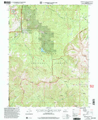 2001 Minnesota Pass2004 Print · USGSThe West Elk Mountains at the turn of the millennium are shown here in detail, from the heights of Mount Gunnison to the waters of Beaver Reservoir. Researchers can trace old high-country routes like the Through Line Trail and locate seasonal landmarks such as Minnesota Cow Camp.
 - 2001 Map of Curecanti Needle, 2004 Print
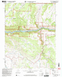 2001 Curecanti Needle2004 Print · USGSThe Gunnison River canyon and its surrounding high mesas are captured here at the start of the twenty-first century. Genealogists and local historians can trace legacy land holdings like McLeod Ranch and Knott Ranch or locate the Rimrock Sch.
 - 2001 Map of Little Soap Park, 2004 Print
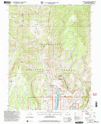 2001 Little Soap Park2004 Print · USGSGunnison County high country is documented here at the turn of the millennium, showing the intersection of protected wilderness and industrial footprints. Trace the drainage from Little Soap Park past the Uranium Mine down to the Blue Mesa Reservoir.
 - 2001 Map of Mc Intosh Mountain, 2004 Print
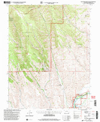 2001 Mc Intosh Mountain2004 Print · USGSGunnison County ranching and recreation are captured here at the turn of the century as the high country meets the river valley. Genealogists and local historians can trace legacy properties like Steuben Ranch and Harris Hereford Ranch or locate Mines tucked near the ridges.
Showing maps 1-25 of 43
Top cities of Gunnison County
- Gunnison historical maps
- Crested Butte historical maps
- Mount Crested Butte historical maps
- Marble historical maps
- Pitkin historical maps
Frequently asked questions
- What are the different types of historical maps available for Gunnison County?
- What is the oldest map of Gunnison County?
- Where can I purchase historical maps of Gunnison County for my home or office?
- Where can I download high-res historical maps of Gunnison County?
- Are there historical topographic maps available for Gunnison County?
- Is there historical aerial imagery available for Gunnison County?
- Where are historical maps of Gunnison County sourced from?