2020s Maps of Montrose County, Colorado
Explore 59 historic maps of Montrose County from the 2020s. These maps offer a rare glimpse into what life looked like during the 2020s — showing old roads, neighborhoods, homes, and landmarks that have changed or disappeared over time.
Whether you're researching your family's past, planning a metal detecting trip, or studying how Montrose County's landscape evolved across the 2020s, these high-resolution maps are a powerful tool for exploring the history of this region.
- Focus on a specific era: All maps on this page are from the 2020s, giving you a focused view of this time period.
- See what’s changed: Compare century-old streets, trails, and buildings to today's modern landscape using overlays and satellite layers.
- Research with precision: Use these maps for genealogy, historical research, land use analysis, or educational projects.
- View, download, or print: Maps are fully viewable online in high resolution, and can be downloaded or printed for your own records.
Start exploring Montrose County's history through authentic maps from the 2020s. This is your window into the past.
Montrose County, CO maps
(59)- 2020 Map of Ray Mesa, 2020 Print
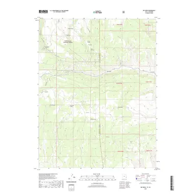 2020 Ray Mesa2020 Print · USGSHigh mesa territory along the Utah and Colorado border is meticulously detailed here in the years before 2020. Researchers can trace the complex canyon systems of Trinity Canyon and Horsethief Canyon alongside landmarks like Hideout Mesa.
 - 2020 Map of Lisbon Gap, 2020 Print
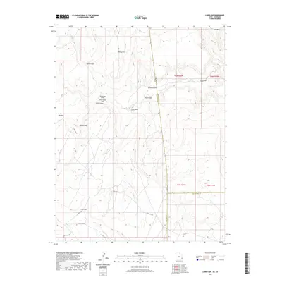 2020 Lisbon Gap2020 Print · USGSThe high desert borderlands of Colorado and Utah are detailed in this 2020 survey, featuring the natural corridor of Lisbon Gap. Researchers can trace the drainages of Coyote Wash and explore the rugged terrain of Horsethief Canyon.
 - 2022 Map of Big Bucktail Creek, 2022 Print
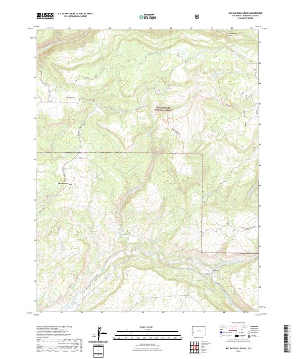 2022 Big Bucktail Creek2022 Print · USGSMontrose County’s high mesa country comes to life in this modern topographic study of the Uncompahgre region. Researchers can trace the essential water routes of the San Miguel River and locate small communities like Piñon and Mountain View.
 - 2022 Map of Camel Back, 2022 Print
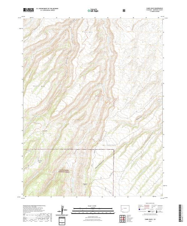 2022 Camel Back2022 Print · USGSThe Uncompahgre National Forest backcountry is mapped here in 2022, showing the complex drainage systems of the Colorado plateau. Researchers can trace historic movement through the high country via the Ben Lowe Rim Trl, Potter Creek Trl, and Winter Mesa Trl.
 - 2022 Map of Naturita, 2022 Print
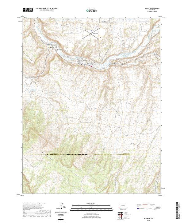 2022 Naturita2022 Print · USGSIn this modern era, the high desert landscape of western Colorado remains defined by the San Miguel River. Researchers can trace the layout of Naturita and the mining-related housing at Vancorum alongside irrigation features like the BCD Ditch.
 - 2022 Map of Good Point, 2022 Print
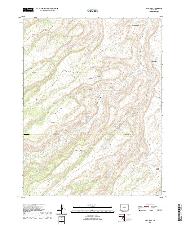 2022 Good Point2022 Print · USGSThe high mesas of western Colorado appear here during the early twenty-first century, showing the complex topography of the Delta and Montrose county line. Researchers can trace water resources and historic transit routes like Stone Basin Reservoir, Keyhole, and the McCarty Trl.
 - 2022 Map of Anderson Mesa, 2022 Print
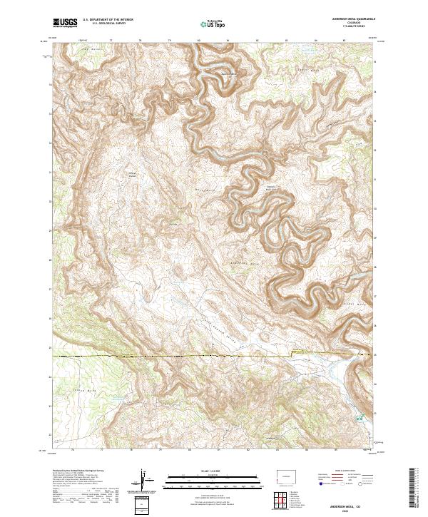 2022 Anderson Mesa2022 Print · USGSCanyons and high mesas define this western Colorado borderland where the Dolores River winds through Montrose and San Miguel Counties. Modern researchers can trace remote landmarks like Silveys Pocket, the Dolores River Arch, and various springs that supported ranching across Anderson Mesa.
 - 2022 Map of Buckeye Reservoir, 2022 Print
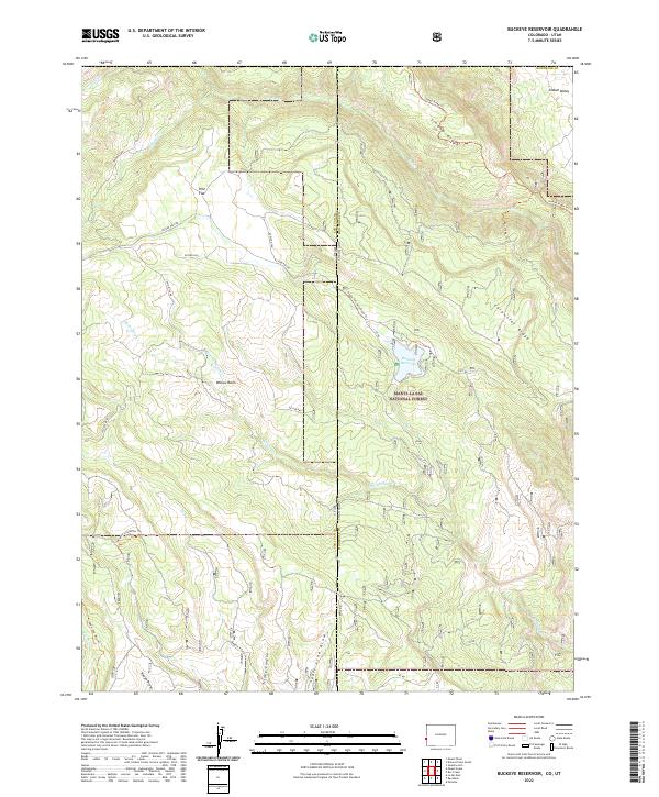 2022 Buckeye Reservoir2022 Print · USGSThe high-desert and mountain borderlands of Montrose County are captured here in the early twenty-first century. Researchers can trace the rugged transition from Sinbad Valley to the heights of Carpenter Ridge while identifying key water sources like Buckeye Reservoir.
 - 2022 Map of Red Canyon, 2022 Print
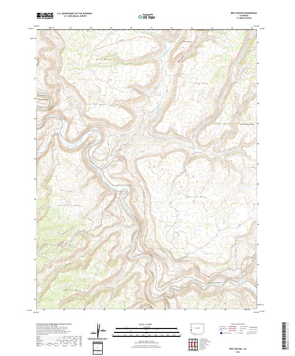 2022 Red Canyon2022 Print · USGSThe Colorado western slope in the early twenty-first century is a landscape of high plateaus and deep river canyons. Genealogists and hikers can trace remote access routes across Atkinson Mesa to the banks of the Dolores River and San Miguel River.
 - 2022 Map of Paradox, 2022 Print
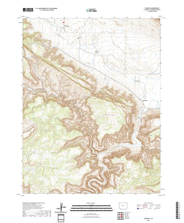 2022 Paradox2022 Print · USGSMontrose County’s high desert plateaus and the unusual drainage of the Paradox Valley are documented here in the early twenty-first century. Researchers can locate the Paradox Cem near Paradox or trace the winding course of the Dolores River past Bedrock.
 - 2022 Map of Ute, 2022 Print
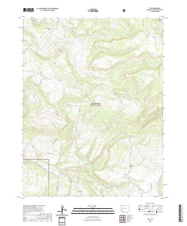 2022 Ute2022 Print · USGSMontrose County's western slopes are documented here in 2022, showing the ranching and forest lands near the Uncompahgre Plateau. Researchers can locate the Ute settlement and Ute Cem, or trace seasonal water sources like Blue Mud Spring and Monument Lake.
 - 2022 Map of Hotchkiss Reservoir, 2022 Print
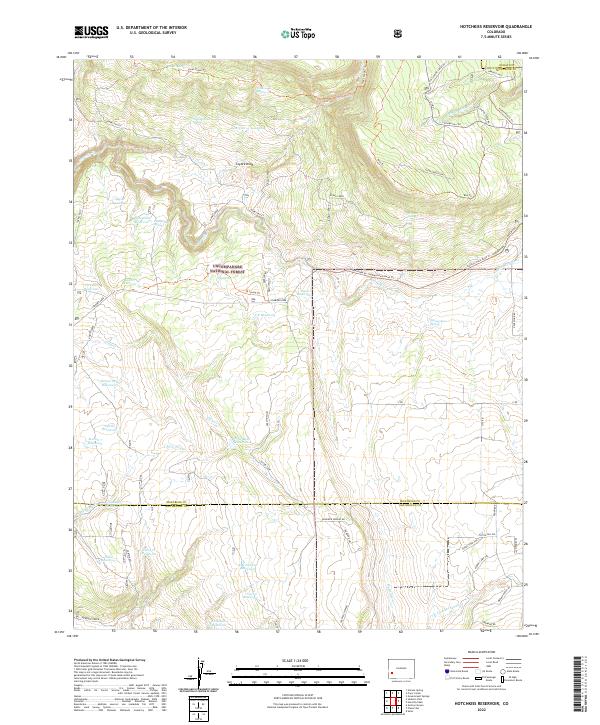 2022 Hotchkiss Reservoir2022 Print · USGSHigh-country water management and forest trails define this part of Montrose and San Miguel counties in the early twenty-first century. Researchers can trace historic water sources and routes like Hotchkiss Reservoir, Horse Thief Trl, and Jutten Camp.
 - 2022 Map of Hoovers Corner, 2022 Print
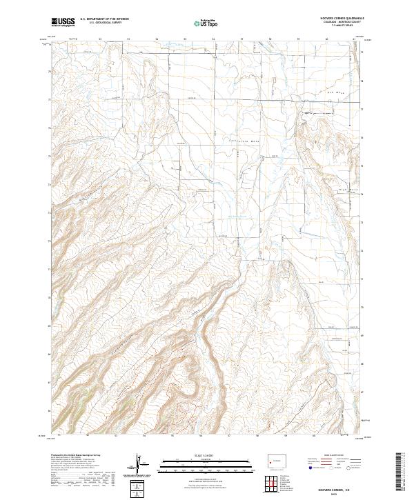 2022 Hoovers Corner2022 Print · USGSThe high mesas of Montrose County are shown in the 2020s, revealing a landscape defined by industrial-scale irrigation and modern trail networks. Trace the path of the Ironstone Canal across California Mesa or explore local paths like the Cushman Overlook Trl.
 - 2022 Map of Delta, 2022 Print
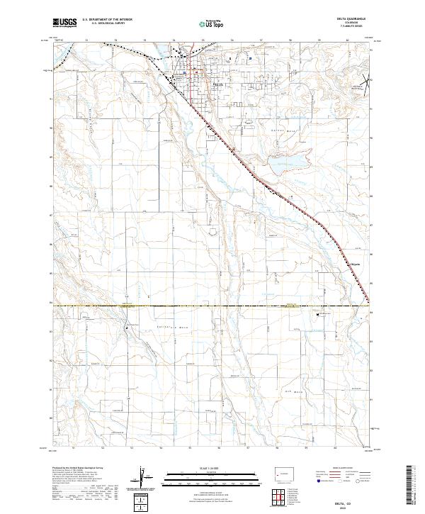 2022 Delta2022 Print · USGSThe confluence of the Gunnison and Uncompahgre rivers defines this Colorado landscape in the early twenty-first century. Researchers can trace irrigation networks like the Ironstone Canal and locate historic burial sites at Delta Cem and Pea Green Cem.
 - 2022 Map of Atkinson Creek, 2022 Print
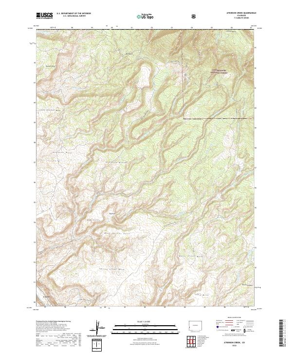 2022 Atkinson Creek2022 Print · USGSThe high mesa country of Montrose County is documented here in the early twenty-first century, showing the enduring landscape of the canyonlands. Researchers can trace the rugged access roads and trails like the Spring Creek Truck Trail to landmarks including Uravan and Atkinson Mesa.
 - 2022 Map of Dry Creek Basin, 2022 Print
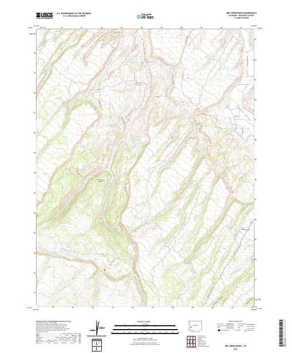 2022 Dry Creek Basin2022 Print · USGSMontrose County's high-plateau landscape is mapped here in the early twenty-first century, revealing a rugged intersection of modern recreation and historic irrigation. Researchers can trace water management sites like Olathe Reservoir Number 1 alongside intricate backcountry routes like the Tabeguache Trl and Cowpoke Bypass Trl.
 - 2022 Map of Pryor Creek, 2022 Print
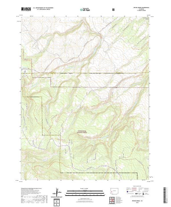 2022 Pryor Creek2022 Print · USGSHigh on the Uncompahgre Plateau in the early twenty-first century, this map shows a landscape defined by forest management and trails. Researchers can trace the paths of the Paradox Trl and Spring Creek Trl or locate the Beaver Dams and Silesca Pond.
 - 2022 Map of Antone Spring, 2022 Print
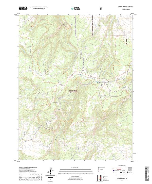 2022 Antone Spring2022 Print · USGSThe high Uncompahgre Plateau in the 2020s remains a landscape of managed wilderness and historic transit routes. Researchers can trace the network of springs and canyons, including Antone Spring, the Raspberry Site, and the winding path of Old Highway 90.
 - 2022 Map of Moore Mesa, 2022 Print
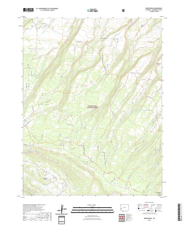 2022 Moore Mesa2022 Print · USGSThe Uncompahgre Plateau is shown at the start of the 2020s, highlighting the high mesas and deep canyons of Montrose County. Researchers can trace the path of the Tabeguache (25 Mesa) Trl and locate Moore Basin Lake or Grassy Lake.
 - 2022 Map of Roc Creek, 2022 Print
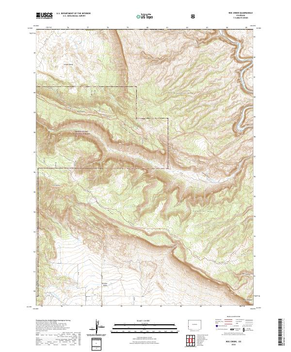 2022 Roc Creek2022 Print · USGSWestern Colorado's high desert plateaus are captured here in the early 2020s, showing the dramatic transition between deep valleys and towering mesas. Researchers can trace the rugged topography of Sinbad Valley, Sewemup Mesa, and the forest routes along Carpenter Ridge.
 - 2022 Map of Norwood, 2022 Print
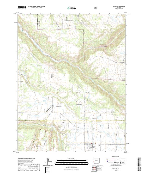 2022 Norwood2022 Print · USGSIn the high country of San Miguel County during the early 2020s, ranching heritage meets the canyons of the Western Slope. Researchers can trace the complex irrigation network of Gurley Ditch, find the Norwood Cem, and explore the terrain around Coventry Hill.
 - 2022 Map of Roubideau, 2022 Print
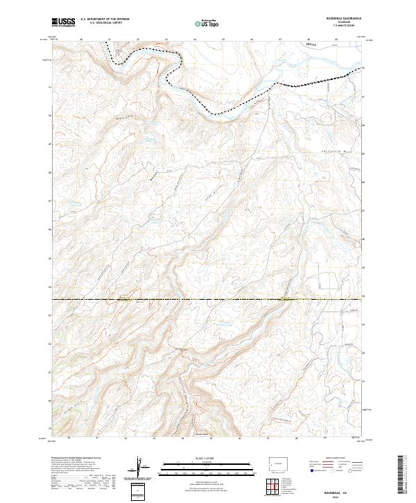 2022 Roubideau2022 Print · USGSWestern Colorado’s high desert and river canyons are captured here just as modern water management and recreation trails intersect. Researchers can trace the path of the Gunnison River or locate remote landmarks like The Narrows and Twentyfive Mesa Reservoir.
 - 2022 Map of Nucla, 2022 Print
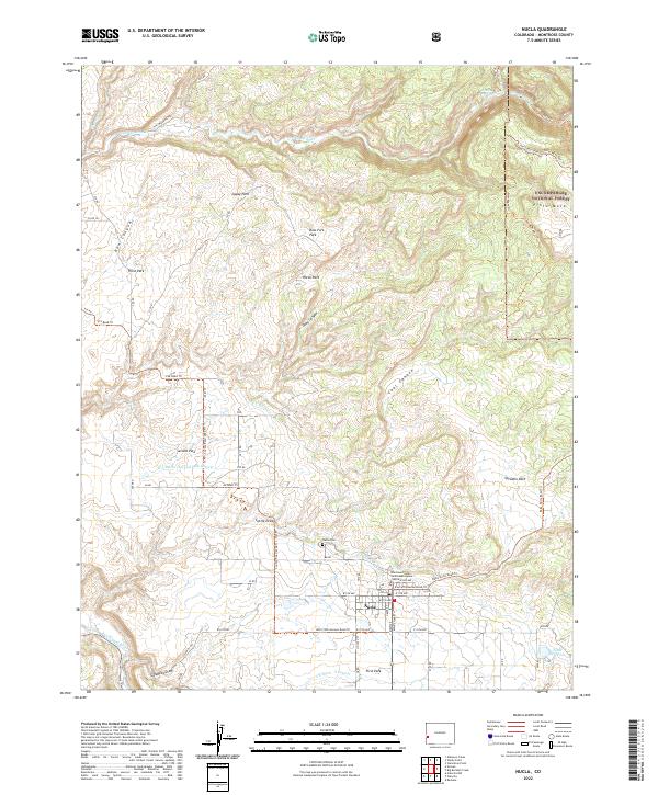 2022 Nucla2022 Print · USGSThe high plateau surrounding Nucla comes to life in this recent survey, showcasing the vital irrigation networks that support this corner of Montrose County. Researchers can trace the path of the C C Ditch, locate the Nucla Cem, and explore the backcountry reaches of the Uncompahgre National Forest.
 - 2022 Map of Uravan, 2022 Print
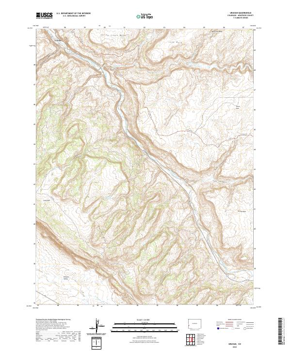 2022 Uravan2022 Print · USGSThe high desert of Montrose County in the early 2020s shows a landscape of mesa-top plains and river-carved valleys. Trace the terrain around the settlement of Uravan, following the San Miguel River past Horsethief Spring and the steep Sawtooth Ridge.
 - 2022 Map of Naturita NW, 2022 Print
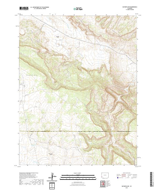 2022 Naturita NW2022 Print · USGSThe high mesas and basins of western Colorado are mapped here in the early twenty-first century, showing the border of Montrose and San Miguel counties. Researchers can trace the water systems of Spectacle Reservoir and the rugged Sawtooth Ridge.
Showing maps 1-25 of 59
Top cities of Montrose County
Frequently asked questions
- What are the different types of historical maps available for Montrose County?
- What is the oldest map of Montrose County?
- Where can I purchase historical maps of Montrose County for my home or office?
- Where can I download high-res historical maps of Montrose County?
- Are there historical topographic maps available for Montrose County?
- Is there historical aerial imagery available for Montrose County?
- Where are historical maps of Montrose County sourced from?