2000s (21st Century) Maps of Montrose County, Colorado
Explore 295 historic maps of Montrose County from the 2000s (21st Century). These maps offer a rare glimpse into what life looked like during the 2000s — showing old roads, neighborhoods, homes, and landmarks that have changed or disappeared over time.
Whether you're researching your family's past, planning a metal detecting trip, or studying how Montrose County's landscape evolved across the 2000s, these high-resolution maps are a powerful tool for exploring the history of this region.
- Focus on a specific era: All maps on this page are from the 2000s, giving you a focused view of this time period.
- See what’s changed: Compare century-old streets, trails, and buildings to today's modern landscape using overlays and satellite layers.
- Research with precision: Use these maps for genealogy, historical research, land use analysis, or educational projects.
- View, download, or print: Maps are fully viewable online in high resolution, and can be downloaded or printed for your own records.
Start exploring Montrose County's history through authentic maps from the 2000s. This is your window into the past.
Montrose County, CO maps
(295)- 2001 Map of Dolores Point South, 2004 Print
 2001 Dolores Point South2004 Print · USGSThe high plateaus along the Utah-Colorado state line are captured here at the start of the millennium. Local history researchers can trace high-elevation landmarks such as Kirks Basin, Pace Lake, and the remote Fish & Game Cabin.
 - 2001 Map of Cimarron, 2004 Print
 2001 Cimarron2004 Print · USGSThe Gunnison River canyon country in western Colorado is captured here at the turn of the millennium, showing a landscape defined by massive federal water projects and national forest lands. Researchers can locate the Cimarron townsite, the District No 9 Sch, and technical landmarks like the Morrow Point Dam.
 - 2001 Map of Roc Creek, 2004 Print
 2001 Roc Creek2004 Print · USGSThe western Colorado borderlands come alive in the early 2000s, showing a landscape defined by uranium mining history and deep canyons. Researchers can trace historic extraction sites like the Radium Cycle Mine or locate the lone Grave near the Dolores River.
 - 2001 Map of X Lazy F Ranch, 2004 Print
 2001 X Lazy F Ranch2004 Print · USGSGunnison and Montrose counties at the start of the millennium offer a detailed look at high-country ranching and forest land. Researchers can trace the routes of the Hartman Trail to reach remote outposts like Childress Cow Camp and Winter Cabin.
 - 2001 Map of Cathedral Peak, 2004 Print
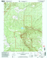
 2001 Cathedral Peak2004 Print · USGSMontrose County at the turn of the millennium shows a landscape defined by high-altitude water management and federal forest lands. Researchers can trace the routes of Cattlemans Ditch, locate the small outpost at Gates Camp, and study the engineering of Crystal Dam.
 - 2001 Map of Mount Guero, 2004 Print
 2001 Mount Guero2004 Print · USGSGunnison National Forest in the early 2000s reveals a landscape of high-country ranching and wilderness. Genealogists and historians can trace family-named landmarks like Hawks-Nest Ranch alongside remote features like Bald Mountain Reservoir and the Through Trail.
 - 2001 Map of Curecanti Needle, 2004 Print
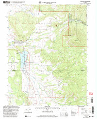
 2001 Curecanti Needle2004 Print · USGSThe Gunnison River canyon and its surrounding high mesas are captured here at the start of the twenty-first century. Genealogists and local historians can trace legacy land holdings like McLeod Ranch and Knott Ranch or locate the Rimrock Sch.
 - 2001 Map of Buckeye Reservoir, 2004 Print
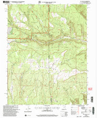
 2001 Buckeye Reservoir2004 Print · USGSThe Colorado-Utah border country at the start of the twenty-first century is defined by its high plateaus and the vital waters of the Buckeye Reservoir. Researchers can trace old 4WD tracks through the Manti-La Sal National Forest to find remote landmarks like Pine Flat and the Prospect above Sinbad Valley.
 - 2001 Map of Crawford, 2004 Print
 2001 Crawford2004 Print · USGSCrawford and the surrounding Delta County mesas are shown here at the turn of the millennium, just after the Crawford Reservoir was established for recreation. Researchers can trace irrigation history along the Clipper Ditch or locate family sites near Maher and Needle Rock.2 unique versions available
 - 2001 Map of Ray Mesa, 2004 Print
 2001 Ray Mesa2004 Print · USGSThe high desert border of Utah and Colorado is seen here at the close of the mining era. Researchers can trace the legacy of uranium and vanadium extraction through sites like the Vanadium Queen Mine, the Landing Strip, and Too High Mine.
 - 2010 Map of Colona, 2010 Print
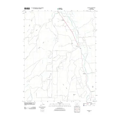 2010 Colona2010 Print · USGSCovers Montrose County, including Eldredge, Colona, and other nearby areas
 - 2010 Map of Olathe NW, 2010 Print
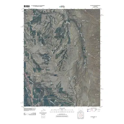 2010 Olathe NW2010 Print · USGSCovers Montrose County, including Olathe, Delta County, and other nearby areas
 - 2010 Map of Black Ridge, 2010 Print
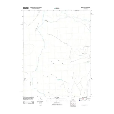 2010 Black Ridge2010 Print · USGSCovers Montrose County, including Delta County, United States, and other nearby areas
 - 2010 Map of Grizzly Ridge, 2010 Print
 2010 Grizzly Ridge2010 Print · USGSCovers Montrose County, including United States, Colorado, and other nearby areas
 - 2010 Map of Cerro Summit, 2010 Print
 2010 Cerro Summit2010 Print · USGSCovers Montrose County, including Lujane, Cedar Creek, and other nearby areas
 - 2010 Map of Olathe, 2010 Print
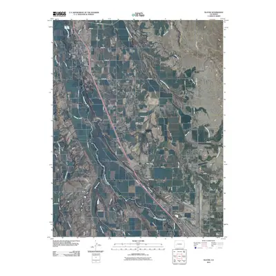 2010 Olathe2010 Print · USGSCovers Montrose County, including Montrose, Olathe, and other nearby areas
 - 2010 Map of Montrose East, 2010 Print
 2010 Montrose East2010 Print · USGSCovers Montrose County, including Montrose, Fairview, and other nearby areas
 - 2010 Map of Grand View Mesa, 2010 Print
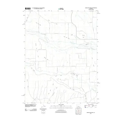 2010 Grand View Mesa2010 Print · USGSCovers Montrose County, including Delta County, United States, and other nearby areas
 - 2010 Map of Montrose West, 2010 Print
 2010 Montrose West2010 Print · USGSCovers Montrose County, including Montrose, Oak Grove, and other nearby areas
 - 2010 Map of Dry Creek Basin, 2010 Print
 2010 Dry Creek Basin2010 Print · USGSCovers Montrose County, including United States, Colorado, and other nearby areas
 - 2010 Map of Good Point, 2010 Print
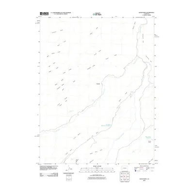 2010 Good Point2010 Print · USGSCovers Montrose County, including Keyhole, Delta County, and other nearby areas
 - 2010 Map of Naturita NW, 2010 Print
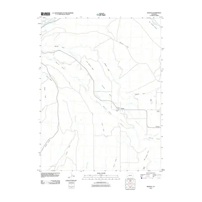
 2010 Naturita NW2010 Print · USGSCovers Montrose County, including San Miguel County, United States, and other nearby areas
 - 2010 Map of Redvale, 2010 Print
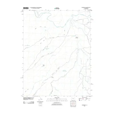
 2010 Redvale2010 Print · USGSCovers Montrose County, including Redvale, San Miguel County, and other nearby areas
 - 2010 Map of Uravan, 2010 Print
 2010 Uravan2010 Print · USGSCovers Montrose County, including Uravan, United States, and other nearby areas
 - 2010 Map of Roubideau, 2010 Print
 2010 Roubideau2010 Print · USGSCovers Montrose County, including Delta, Delta County, and other nearby areas
Showing maps 1-25 of 295
Top cities of Montrose County
Frequently asked questions
- What are the different types of historical maps available for Montrose County?
- What is the oldest map of Montrose County?
- Where can I purchase historical maps of Montrose County for my home or office?
- Where can I download high-res historical maps of Montrose County?
- Are there historical topographic maps available for Montrose County?
- Is there historical aerial imagery available for Montrose County?
- Where are historical maps of Montrose County sourced from?