Old Maps of Lake City, Florida for Metal Detecting
Plan your next treasure hunt with 17 historic maps of Lake City. Find old homesites, ghost towns, trails, and gathering spots that may be lost to time — perfect for identifying promising metal detecting locations.
- Locate forgotten sites: Uncover places like long-lost settlements, abandoned rail lines, or gathering spots.
- Plan better hunts: Use map overlays combined with LiDAR or satellite views to narrow in on historically rich areas.
- Made for detectorists: Thousands of hobbyists use these maps to discover relics, coins, and hidden history.
Use these historic maps to boost your research and find new opportunities beneath the surface of Lake City.
Lake City, FL maps
(17)- 1954 Map of Valdosta, 1967 Print
 1954 Valdosta1967 Print · USGSThe South Georgia and North Florida borderlands are captured here in the mid-fifties, showing the deep timber and wetland networks of the coastal plain. Researchers can trace the path of the Atlantic Coast Line through Valdosta or explore the interior of the Okefenokee Swamp.2 unique versions available
 - 1958 Map of Valdosta
 1958 Valdosta1958 Print · USGSSouth Georgia and North Florida are captured here in the mid-fifties, showing the vast Okefenokee Swamp and the vital timber and rail corridors connecting the two states. Researchers can locate the footprint of Moody Air Force Base, trace the Live Oak Perry and Gulf railroad, or find early community sites like Bakers Mill and Paradise Church.
 - 1959 Map of Valdosta
 1959 Valdosta1959 Print · USGSThe Georgia-Florida borderlands in the mid-fifties reveal a landscape of massive blackwater swamps and emerging military aviation hubs. Genealogists and historians can trace rail-stop towns like Fargo and Stockton or explore the interior reaches of the Okefenokee Swamp and Billys Island.
 - 1962 Map of Lake City East, 1964 Print
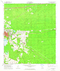 1962 Lake City East1964 Print · USGSColumbia County is shown here in the early sixties as it balanced forest industry with modern growth. Genealogists and historians can trace old community landmarks from Watertown to the Price Creek Cem and the early campus of Lake City Jr College.3 unique versions available
 - 1963 Map of Lake City West, 1965 Print
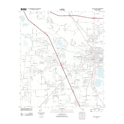
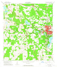 1963 Lake City West1965 Print · USGSLake City and the surrounding Columbia County landscape are shown in the early sixties as a vital railroad junction. Genealogists and historians can trace family locations near Mount Carmel Cemetery, Five Points School, or the Richardson High School campus.2 unique versions available
 - 1981 Map of Lake City
 1981 Lake City1981 Print · USGSNorth Florida and South Georgia are mapped in the early eighties as the region balanced forestry with growing infrastructure. Genealogists can trace family names and locations from Live Oak to Macclenny, or find cultural landmarks like the Stephen Foster State Folk Culture Center.2 unique versions available
 - 2005 Map of Lake City East, 2006 Print
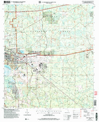 2005 Lake City East2006 Print · USGSEast of Lake City in the mid-2000s, the landscape is a busy corridor of aviation, industry, and forest management. Researchers can locate family landmarks like Bethlehem Cem, the community of Watertown, and the sprawling Osceola National Forest.
 - 2012 Map of Lake City East, 2012 Print
 2012 Lake City East2012 Print · USGSCovers Lake City, including McColskey, Mount Carrie, and other nearby areas
 - 2012 Map of Lake City West, 2012 Print
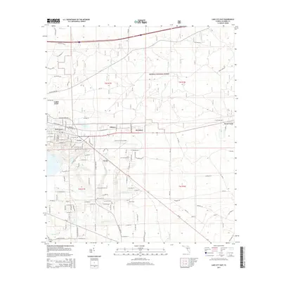
 2012 Lake City West2012 Print · USGSCovers Lake City, including Five Points, Lacymark, and other nearby areas
 - 2015 Map of Lake City West, 2015 Print
 2015 Lake City West2015 Print · USGSCovers Lake City, including Five Points, Lacymark, and other nearby areas
 - 2015 Map of Lake City East, 2015 Print
 2015 Lake City East2015 Print · USGSCovers Lake City, including McColskey, Mount Carrie, and other nearby areas
 - 2018 Map of Lake City West, 2018 Print
 2018 Lake City West2018 Print · USGSCovers Lake City, including Five Points, Lacymark, and other nearby areas
 - 2018 Map of Lake City East, 2018 Print
 2018 Lake City East2018 Print · USGSCovers Lake City, including McColskey, Mount Carrie, and other nearby areas
 - 2021 Map of Lake City West, 2021 Print
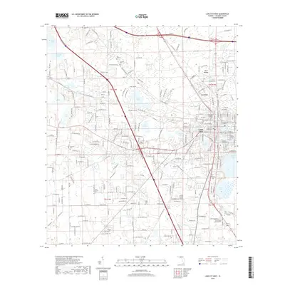
 2021 Lake City West2021 Print · USGSCovers Lake City, including Five Points, Lacymark, and other nearby areas
 - 2021 Map of Lake City East, 2021 Print
 2021 Lake City East2021 Print · USGSCovers Lake City, including McColskey, Mount Carrie, and other nearby areas
 - 2024 Map of Lake City West, 2024 Print
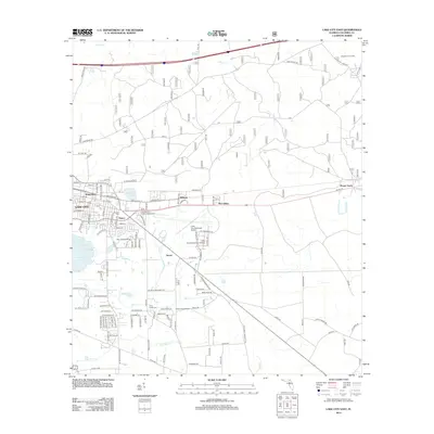
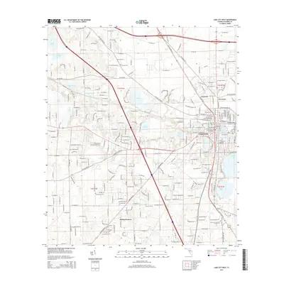
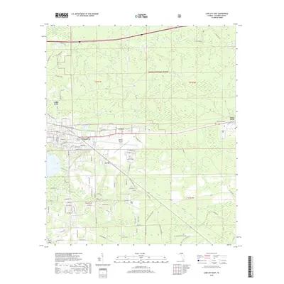
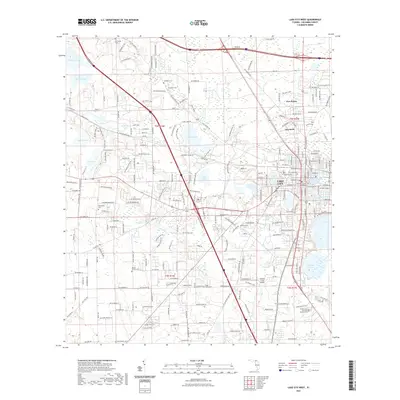
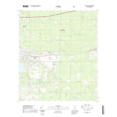
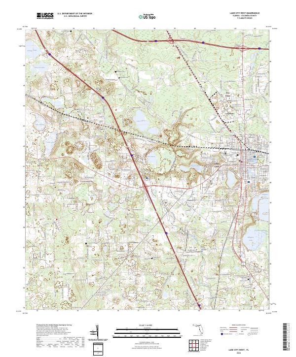 2024 Lake City West2024 Print · USGSColumbia County is shown here in the 2020s, centered on the historic western neighborhoods and expansion of LAKE CITY. Genealogists and historians can trace local landmarks like the Columbia County Courthouse and numerous burial sites including Oak Lawn Cem and Fellowship Cem.
 - 2024 Map of Lake City East, 2024 Print
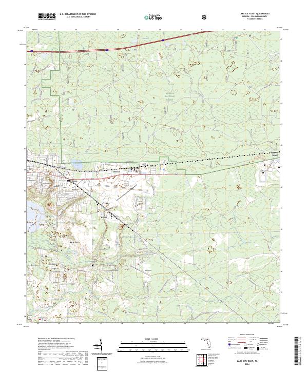 2024 Lake City East2024 Print · USGSColumbia County comes into focus in this contemporary survey of the eastern Lake City corridor. Researchers can trace local landmarks from Florida Gateway College to the historic Truevine Cem, alongside the industrial and aviation footprint of Navair and Watertown.
End of results
Showing maps 1-17 of 17
Top cities near Lake City
Frequently asked questions
- What are the different types of historical maps available for Lake City?
- What is the oldest map of Lake City?
- Where can I purchase historical maps of Lake City for my home or office?
- Where can I download high-res historical maps of Lake City?
- Are there historical topographic maps available for Lake City?
- Is there historical aerial imagery available for Lake City?
- Where are historical maps of Lake City sourced from?