2020s Maps of Jacksonville, Florida
Explore 48 historic maps of Jacksonville from the 2020s. These maps offer a rare glimpse into what life looked like during the 2020s — showing old roads, neighborhoods, homes, and landmarks that have changed or disappeared over time.
Whether you're researching your family's past, planning a metal detecting trip, or studying how Jacksonville's landscape evolved across the 2020s, these high-resolution maps are a powerful tool for exploring the history of this region.
- Focus on a specific era: All maps on this page are from the 2020s, giving you a focused view of this time period.
- See what’s changed: Compare century-old streets, trails, and buildings to today's modern landscape using overlays and satellite layers.
- Research with precision: Use these maps for genealogy, historical research, land use analysis, or educational projects.
- View, download, or print: Maps are fully viewable online in high resolution, and can be downloaded or printed for your own records.
Start exploring Jacksonville's history through authentic maps from the 2020s. This is your window into the past.
Jacksonville, FL maps
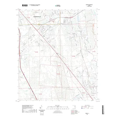
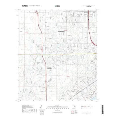
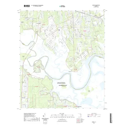
(48)- 2021 Map of Amelia City, 2021 Print
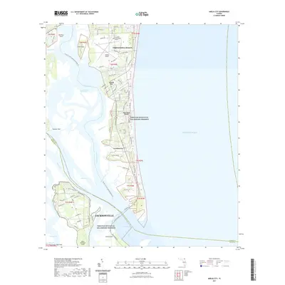 2021 Amelia City2021 Print · USGSCovers Jacksonville, including Franklintown, Amelia City, and other nearby areas
 - 2021 Map of Macclenny East, 2021 Print
 2021 Macclenny East2021 Print · USGSCovers Jacksonville, including Macclenny, Mattox, and other nearby areas
 - 2021 Map of Baldwin, 2021 Print
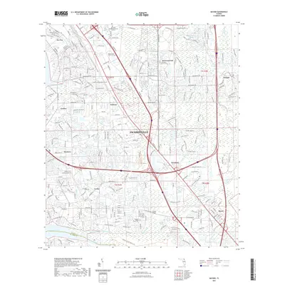
 2021 Baldwin2021 Print · USGSCovers Jacksonville, including Baldwin, Otis, and other nearby areas
 - 2021 Map of Maxville, 2021 Print
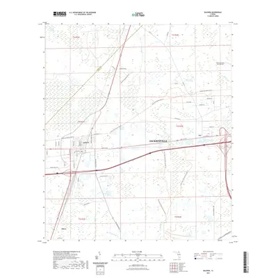
 2021 Maxville2021 Print · USGSCovers Jacksonville, including Macclenny, McPherson, and other nearby areas
 - 2021 Map of Callahan, 2021 Print
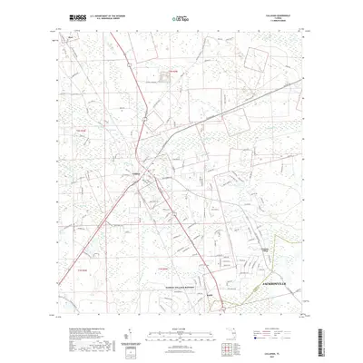 2021 Callahan2021 Print · USGSCovers Jacksonville, including Callahan, Dyal, and other nearby areas
 - 2021 Map of Fleming Island, 2021 Print
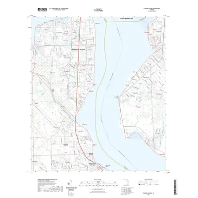 2021 Fleming Island2021 Print · USGSCovers Jacksonville, including Green Cove Springs, Russell, and other nearby areas
 - 2021 Map of Durbin, 2021 Print
 2021 Durbin2021 Print · USGSCovers Jacksonville, including Durbin, Clarksville, and other nearby areas
 - 2021 Map of Bryceville, 2021 Print
 2021 Bryceville2021 Print · USGSCovers Jacksonville, including Verdie, Bryceville, and other nearby areas
 - 2021 Map of Jacksonville Beach, 2021 Print
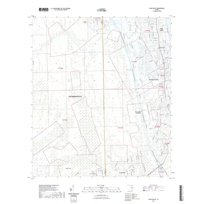
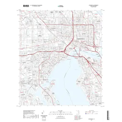
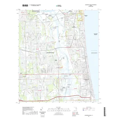 2021 Jacksonville Beach2021 Print · USGSCovers Jacksonville, including Jacksonville Beach, Atlantic Beach, and other nearby areas
 - 2021 Map of Dinsmore, 2021 Print
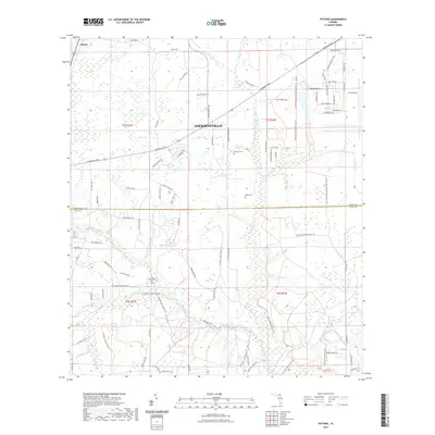
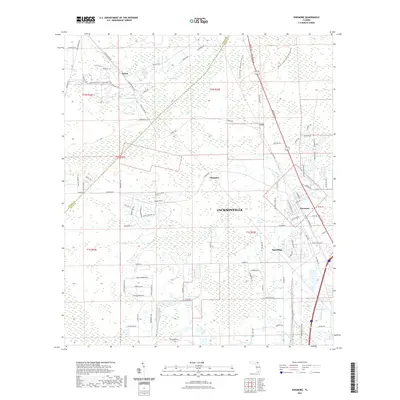 2021 Dinsmore2021 Print · USGSCovers Jacksonville, including Plummer, Keene, and other nearby areas
 - 2021 Map of Italia, 2021 Print
 2021 Italia2021 Print · USGSCovers Jacksonville, including Joels Landing, Duval County, and other nearby areas
 - 2021 Map of Fiftone, 2021 Print
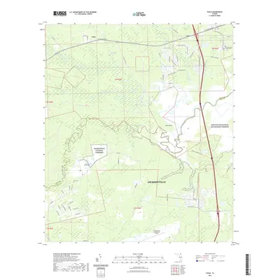
 2021 Fiftone2021 Print · USGSCovers Jacksonville, including Duval County, Clay County, and other nearby areas
 - 2021 Map of Eastport, 2021 Print
 2021 Eastport2021 Print · USGSCovers Jacksonville, including Dames Point Manor, Beacon Hills, and other nearby areas
 - 2021 Map of Orangedale, 2021 Print
 2021 Orangedale2021 Print · USGSCovers Jacksonville, including Fruit Cove, Blacks Ford, and other nearby areas
 - 2021 Map of Mayport, 2021 Print
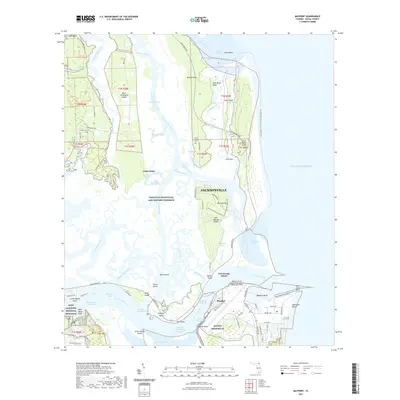 2021 Mayport2021 Print · USGSCovers Jacksonville, including Fort George Island, Mayport, and other nearby areas
 - 2021 Map of Palm Valley, 2021 Print
 2021 Palm Valley2021 Print · USGSCovers Jacksonville, including Ponte Vedra Beach, Ponte Vedra Beach, and other nearby areas
 - 2021 Map of Jacksonville Heights, 2021 Print
 2021 Jacksonville Heights2021 Print · USGSCovers Jacksonville, including North Meadowbrook Terrace, Oak Hill Park, and other nearby areas
 - 2021 Map of Bayard, 2021 Print
 2021 Bayard2021 Print · USGSCovers Jacksonville, including Greenland, Wesley Manor Retirement Village, and other nearby areas
 - 2021 Map of Hedges, 2021 Print
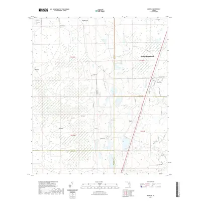
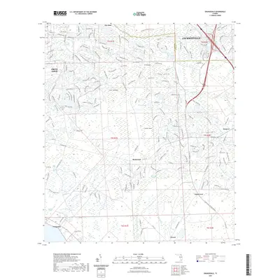
 2021 Hedges2021 Print · USGSCovers Jacksonville, including Yulee Heights, Pecan Park, and other nearby areas
 - 2021 Map of Arlington, 2021 Print
 2021 Arlington2021 Print · USGSCovers Jacksonville, including Holiday Hill, Greenfield Manor, and other nearby areas
 - 2021 Map of Orange Park, 2021 Print
 2021 Orange Park2021 Print · USGSCovers Jacksonville, including Orange Park, Meadowbrook Terrace, and other nearby areas
 - 2021 Map of Marietta, 2021 Print
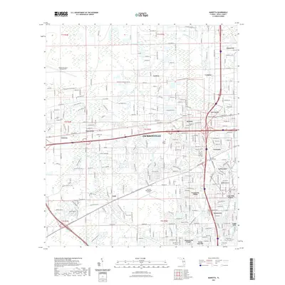 2021 Marietta2021 Print · USGSCovers Jacksonville, including Cambon, Hart Haven, and other nearby areas
 - 2021 Map of Trout River, 2021 Print
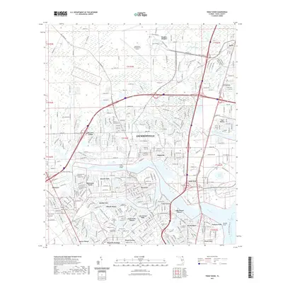 2021 Trout River2021 Print · USGSCovers Jacksonville, including Biscayne Village, Dinsmore, and other nearby areas
 - 2021 Map of Jacksonville, 2021 Print
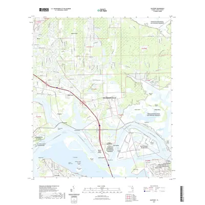
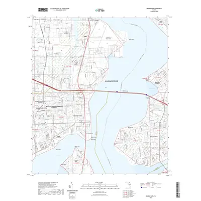
 2021 Jacksonville2021 Print · USGSCovers Jacksonville, including Grand Crossing, Pearl Court, and other nearby areas
 - 2024 Map of Baldwin, 2024 Print
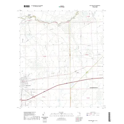
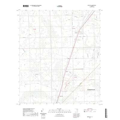
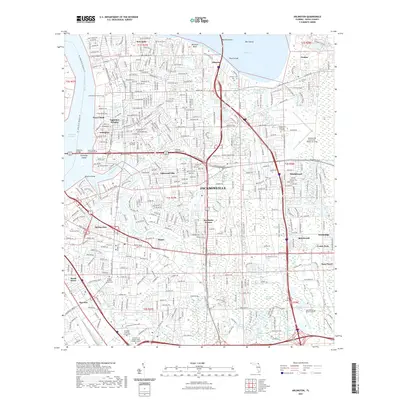
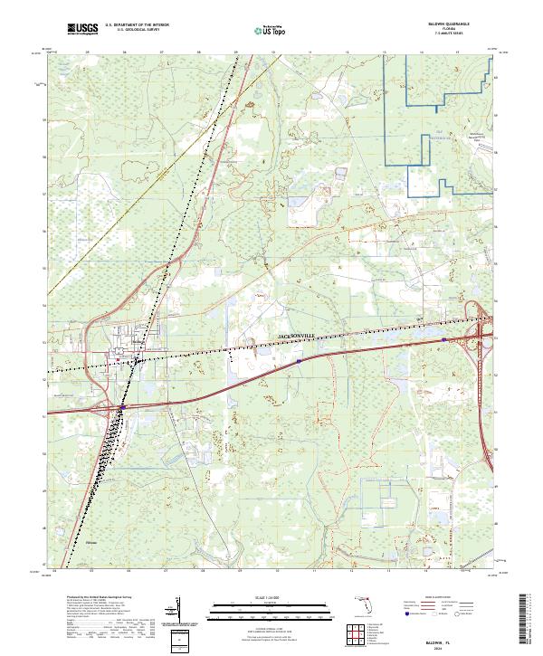 2024 Baldwin2024 Print · USGSWestern Duval County is shown here in the mid-2020s, centered on the rail-and-road junction of Baldwin. Local historians can trace the paths of the Jacksonville Baldwin Rail Trl and Old Plank Rd, or locate the Whitehouse Naval Outlying Field.
Showing maps 1-25 of 48
Top cities near Jacksonville
Top neighborhoods of Jacksonville
- Maxville historical maps
- Biltmore historical maps
- Hyde Park historical maps
- Grand Park historical maps
- Brentwood historical maps
- Lake Shore historical maps
See more
Frequently asked questions
- What are the different types of historical maps available for Jacksonville?
- What is the oldest map of Jacksonville?
- Where can I purchase historical maps of Jacksonville for my home or office?
- Where can I download high-res historical maps of Jacksonville?
- Are there historical topographic maps available for Jacksonville?
- Is there historical aerial imagery available for Jacksonville?
- Where are historical maps of Jacksonville sourced from?