2000s (21st Century) Maps of Levy County, Florida
Explore 148 historic maps of Levy County from the 2000s (21st Century). These maps offer a rare glimpse into what life looked like during the 2000s — showing old roads, neighborhoods, homes, and landmarks that have changed or disappeared over time.
Whether you're researching your family's past, planning a metal detecting trip, or studying how Levy County's landscape evolved across the 2000s, these high-resolution maps are a powerful tool for exploring the history of this region.
- Focus on a specific era: All maps on this page are from the 2000s, giving you a focused view of this time period.
- See what’s changed: Compare century-old streets, trails, and buildings to today's modern landscape using overlays and satellite layers.
- Research with precision: Use these maps for genealogy, historical research, land use analysis, or educational projects.
- View, download, or print: Maps are fully viewable online in high resolution, and can be downloaded or printed for your own records.
Start exploring Levy County's history through authentic maps from the 2000s. This is your window into the past.
Levy County, FL maps
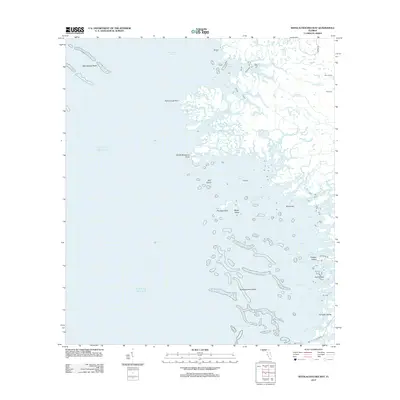
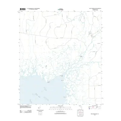
(148)- 2012 Map of Withlacoochee Bay OE S, 2012 Print
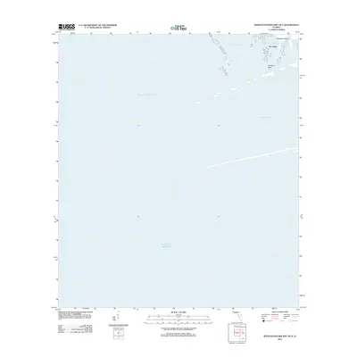 2012 Withlacoochee Bay OE S2012 Print · USGSCovers Levy County, including Yankeetown, Port Inglis, and other nearby areas
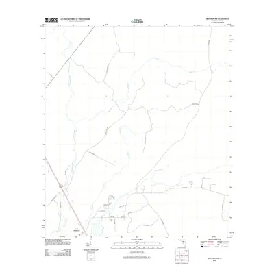
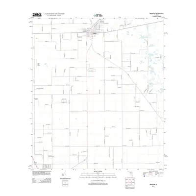
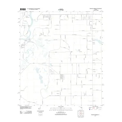
 - 2012 Map of Bronson SE, 2012 Print
 2012 Bronson SE2012 Print · USGSCovers Levy County, including Williston Highlands, United States, and other nearby areas
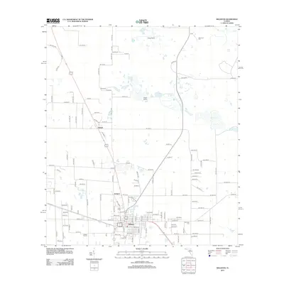
 - 2012 Map of Chiefland, 2012 Print
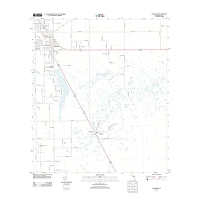 2012 Chiefland2012 Print · USGSCovers Levy County, including Chiefland, Chiefland Astronomy Village, and other nearby areas
 - 2012 Map of Bronson SW, 2012 Print
 2012 Bronson SW2012 Print · USGSCovers Levy County, including Gulf Hammock, United States, and other nearby areas
 - 2012 Map of Bronson NE, 2012 Print
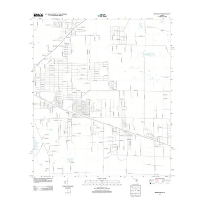 2012 Bronson NE2012 Print · USGSCovers Levy County, including East Bronson, Bronson, and other nearby areas
 - 2012 Map of Newberry SW, 2012 Print
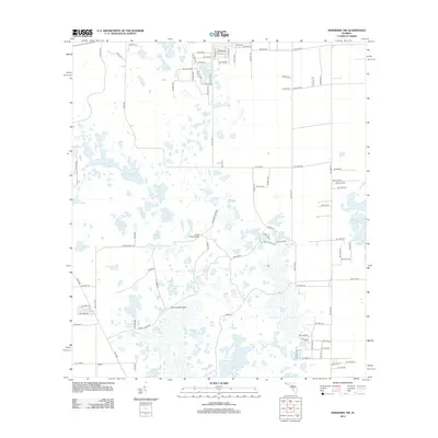 2012 Newberry SW2012 Print · USGSCovers Levy County, including Newberry, Alachua County, and other nearby areas
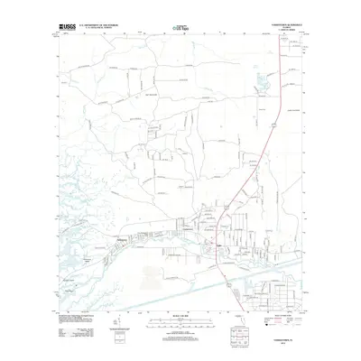
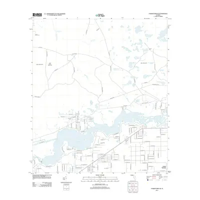
 - 2012 Map of Fanning Springs, 2012 Print
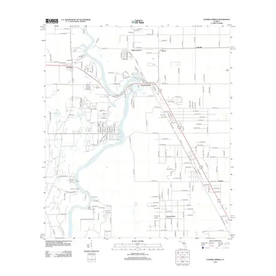 2012 Fanning Springs2012 Print · USGSCovers Levy County, including Chiefland, Fanning Springs, and other nearby areas
 - 2012 Map of Bronson, 2012 Print
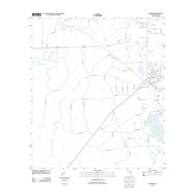 2012 Bronson2012 Print · USGSCovers Levy County, including Bronson, United States, and other nearby areas
 - 2012 Map of Archer, 2012 Print
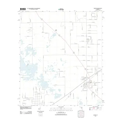 2012 Archer2012 Print · USGSCovers Levy County, including Newberry, Archer, and other nearby areas
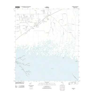
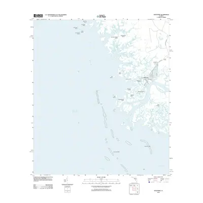
 - 2012 Map of Withlacoochee Bay, 2012 Print
 2012 Withlacoochee Bay2012 Print · USGSCovers Levy County, including Yankeetown, Citrus County, and other nearby areas
 - 2012 Map of Trenton, 2012 Print
 2012 Trenton2012 Print · USGSCovers Levy County, including Chiefland, Trenton, and other nearby areas
 - 2012 Map of Williston, 2012 Print
 2012 Williston2012 Print · USGSCovers Levy County, including Williston, East Williston, and other nearby areas
 - 2012 Map of Yankeetown, 2012 Print
 2012 Yankeetown2012 Print · USGSCovers Levy County, including Inglis, Yankeetown, and other nearby areas
 - 2012 Map of Chiefland SW, 2012 Print
 2012 Chiefland SW2012 Print · USGSCovers Levy County, including United States, Florida, and other nearby areas
 - 2012 Map of Otter Creek, 2012 Print
 2012 Otter Creek2012 Print · USGSCovers Levy County, including Otter Creek, Ellzey, and other nearby areas
 - 2012 Map of Tidewater, 2012 Print
 2012 Tidewater2012 Print · USGSCovers Levy County, including Tidewater, Marion County, and other nearby areas
 - 2012 Map of Morriston, 2012 Print
 2012 Morriston2012 Print · USGSCovers Levy County, including Williston, Morriston, and other nearby areas
 - 2012 Map of Waccasassa Bay, 2012 Print
 2012 Waccasassa Bay2012 Print · USGSCovers Levy County, including United States, Florida, and other nearby areas
 - 2012 Map of Sumner, 2012 Print
 2012 Sumner2012 Print · USGSCovers Levy County, including Sumner, Rosewood, and other nearby areas
 - 2012 Map of Manatee Springs, 2012 Print
 2012 Manatee Springs2012 Print · USGSCovers Levy County, including Chiefland, Dixie County, and other nearby areas
 - 2012 Map of Romeo, 2012 Print
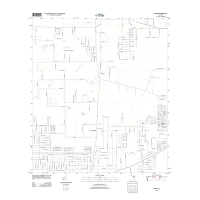 2012 Romeo2012 Print · USGSCovers Levy County, including Romeo, Hoyt, and other nearby areas
 - 2012 Map of Lebanon Station, 2012 Print
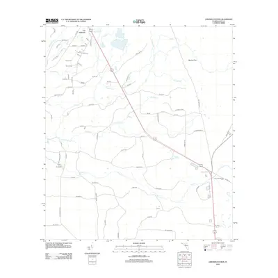 2012 Lebanon Station2012 Print · USGSCovers Levy County, including Beetree Ford, United States, and other nearby areas
 - 2012 Map of Suwannee, 2012 Print
 2012 Suwannee2012 Print · USGSCovers Levy County, including Suwannee, Dixie County, and other nearby areas
 - 2012 Map of Seahorse Key, 2012 Print
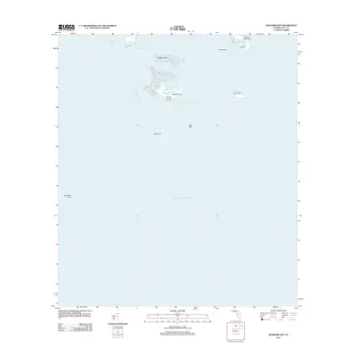 2012 Seahorse Key2012 Print · USGSCovers Levy County, including United States, Florida, and other nearby areas
 - 2012 Map of Yankeetown SE, 2012 Print
 2012 Yankeetown SE2012 Print · USGSCovers Levy County, including Citrus Springs, Marion County, and other nearby areas
Showing maps 1-25 of 148
Top cities of Levy County
- Williston historical maps
- Chiefland historical maps
- East Bronson historical maps
- Inglis historical maps
- Bronson historical maps
- Cedar Key historical maps
See more
Frequently asked questions
- What are the different types of historical maps available for Levy County?
- What is the oldest map of Levy County?
- Where can I purchase historical maps of Levy County for my home or office?
- Where can I download high-res historical maps of Levy County?
- Are there historical topographic maps available for Levy County?
- Is there historical aerial imagery available for Levy County?
- Where are historical maps of Levy County sourced from?