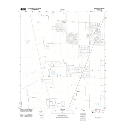
2012 Map of Bronson SE
USGS Topo · Published 2012About this map
Redtail Airstrip serves as a distinct landmark in this pocket of Levy County, where a grid-like residential network meets the low-lying karst topography characteristic of north-central Florida. The landscape is defined by its hydrology, ranging from the prominent Black Prong to a series of named water bodies including Fletcher Pond, Hog Pond, and Sage Pond. The concentration of street names, such as NE 20th St and NE 158th Ave, reveals the planned residential expansion of the early 21st century. Further south, the terrain shifts towards more isolated features like Wolf Sink and the cluster of Fourmile Pond and Fivemile Pond, illustrating the transition from developed residential blocks to the more open, wetland-influenced countryside.
Find a feature on this map
141 named features on this map. Tap any name to fly to it.
Don’t see what you’re looking for? This feature index may not catch every label — zoom into the map to look around manually.
Map Details
Editions of this 2012 Bronson SE Map
This is the sole edition of this map. No revisions or reprints were ever made.
Other maps of this area

1892 · Dunnellon
USGS Topo · 1:62,500

1894 · Dunnellon
USGS Topo · 1:62,500

1895 · Williston
USGS Topo · 1:62,500

1954 · Romeo
USGS Topo · 1:24,000

1954 · Bronson
USGS Topo · 1:24,000

1954 · Bronson SW
USGS Topo · 1:24,000

1954 · Dunnellon
USGS Topo · 1:62,500

1954 · Gainesville
USGS Topo · 1:250,000

1955 · Lebanon Station
USGS Topo · 1:24,000

1955 · Tidewater
USGS Topo · 1:24,000