2010s Maps of Marion County, Florida
Explore 117 historic maps of Marion County from the 2010s. These maps offer a rare glimpse into what life looked like during the 2010s — showing old roads, neighborhoods, homes, and landmarks that have changed or disappeared over time.
Whether you're researching your family's past, planning a metal detecting trip, or studying how Marion County's landscape evolved across the 2010s, these high-resolution maps are a powerful tool for exploring the history of this region.
- Focus on a specific era: All maps on this page are from the 2010s, giving you a focused view of this time period.
- See what’s changed: Compare century-old streets, trails, and buildings to today's modern landscape using overlays and satellite layers.
- Research with precision: Use these maps for genealogy, historical research, land use analysis, or educational projects.
- View, download, or print: Maps are fully viewable online in high resolution, and can be downloaded or printed for your own records.
Start exploring Marion County's history through authentic maps from the 2010s. This is your window into the past.
Marion County, FL maps
(117)- 2012 Map of Lynne, 2012 Print
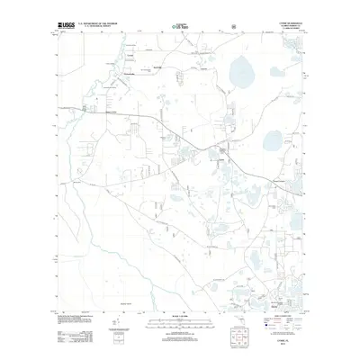 2012 Lynne2012 Print · USGSIn the early twenty-first century, this pocket of Marion County preserved a landscape of river landings and small lakeside settlements. Researchers can trace rural lineages through the Old Grahamsville Cem, find old river crossings at Sharps Ferry, and locate the Woods and Lakes Airpark.
 - 2012 Map of Lake Delancy, 2012 Print
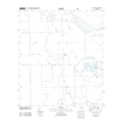 2012 Lake Delancy2012 Print · USGSMarion County's forest interior is captured here in the early 2010s, showing a landscape defined by timber management and water. Researchers can trace the layout of the Ocala Sand Pine Seed Orchard and forest routes leading to Lake Delancy and Buckskin Prairie.
 - 2012 Map of Farles Lake, 2012 Print
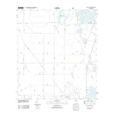 2012 Farles Lake2012 Print · USGSThe Ocala National Forest interior is captured here just after the first decade of the new millennium. Researchers can trace the legacy of the timber industry and local recreation via Railroad Grade Rd, the settlement at Camp Ocala, and numerous basins like Farles Lake.
 - 2012 Map of Lake Kerr, 2012 Print
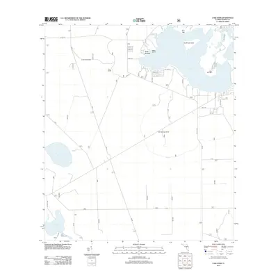 2012 Lake Kerr2012 Print · USGSFlorida's scrub country and interior lakes are shown in detail during the early 2010s, centered on the historic Kerr City area. Researchers can locate the First Baptist Cem, trace the surroundings of Lake Eaton, and find the Eureka Lookout Tower.
 - 2012 Map of Fort McCoy, 2012 Print
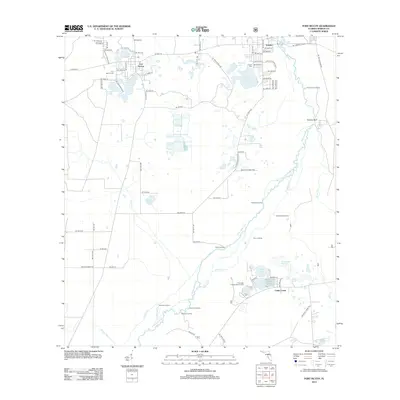 2012 Fort McCoy2012 Print · USGSNorth-central Florida's river and forest heritage is preserved here in the early twenty-first century, spanning from the Ocala National Forest to the winding Ocklawaha. Genealogists and local historians can trace family roots at Fort McCoy Cem and Eureka Cem, or locate historic river access points like Sunday Bluff and Strouds Landing.
 - 2012 Map of Keuka, 2012 Print
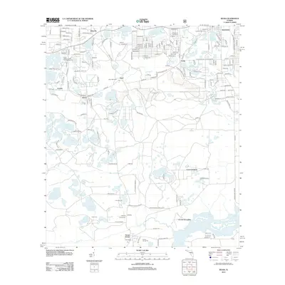 2012 Keuka2012 Print · USGSThe lake-dotted landscape of Putnam County comes into focus in the early twenty-first century, showing the established communities and wetlands. Genealogists and historians can trace family locations near Interlachen, Keuka, and the Orange Springs Cem.
 - 2012 Map of Welaka, 2012 Print
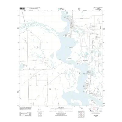 2012 Welaka2012 Print · USGSThe Saint Johns River and its confluence with the Ocklawaha River define this Putnam County landscape in the early 2000s. Genealogists and local historians can trace family sites near Welaka, the Georgetown Cem, and the historic crossing at Johns Ferry.
 - 2012 Map of Halfmoon Lake, 2012 Print
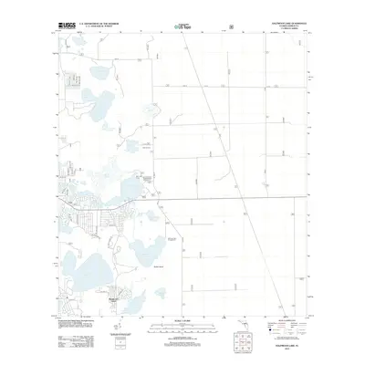 2012 Halfmoon Lake2012 Print · USGSMarion County's lake-strewn landscape is captured here in the early twenty-first century, showing a region defined by recreational camps and rural residential growth. Researchers can trace the layout of Lynn, locate the Camp Kiwanis Campground, or explore the shores of Halfmoon Lake and Lake Bryant.
 - 2012 Map of Eureka Dam, 2012 Print
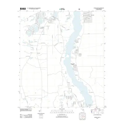 2012 Eureka Dam2012 Print · USGSThe Ocklawaha River corridor and its many lakeside settlements are mapped in the early twenty-first century. Genealogists and local historians can locate the Cornelius Cem or trace activity at Tobacco Patch Landing and Hog Valley.
 - 2012 Map of Rodman, 2012 Print
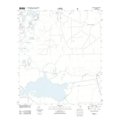 2012 Rodman2012 Print · USGSThe Ocklawaha River basin and Lake Ocklawaha are seen here in the early 21st century before modern conservation shifts altered the landscape. Researchers can trace rural settlements and family landmarks such as Hollister, Rodman, and Blue Springs.
 - 2012 Map of Lake Weir, 2012 Print
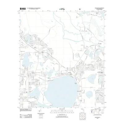 2012 Lake Weir2012 Print · USGSMarion County lake country is captured here during a period of steady residential growth and recreational expansion. Researchers can trace local landmarks like the Ocklawaha Community Cem, the Lake Weir Seaplane Base, and the Candler Forestry Lookout Tower.
 - 2012 Map of Lake Mary, 2012 Print
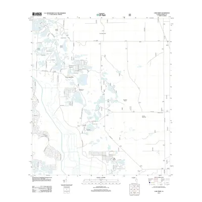 2012 Lake Mary2012 Print · USGSMarion County’s interior lake district and the famous Big Scrub are shown here as they appeared in the early 2010s. Outdoor researchers and local historians can locate specific sites like Doe Lake Camp, the Ocklawaha River shoreline, and the residential grid of Forest Lakes Park.
 - 2012 Map of Salt Springs, 2012 Print
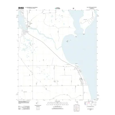 2012 Salt Springs2012 Print · USGSThe Florida lake country near the Ocala National Forest is captured here in the early twenty-first century, showing the transition from forest to the shoreline of Lake George. Researchers can trace local landmarks like Yellow Bluff, the recreation facilities at Salt Springs Campground, and the docks of the Salt Springs Run Marina.
 - 2012 Map of Juniper Springs, 2012 Print
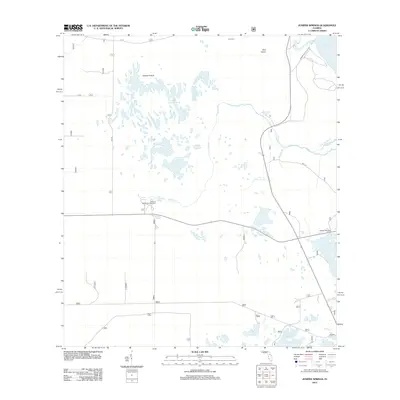 2012 Juniper Springs2012 Print · USGSThe Florida wilderness at the start of the 2010s is preserved here, showing the intricate hydrologic system of the Ocala National Forest. Researchers can find remote landmarks like Long Cem and the artesian waters of Juniper Springs and Sweetwater Springs.
 - 2012 Map of Lady Lake, 2012 Print
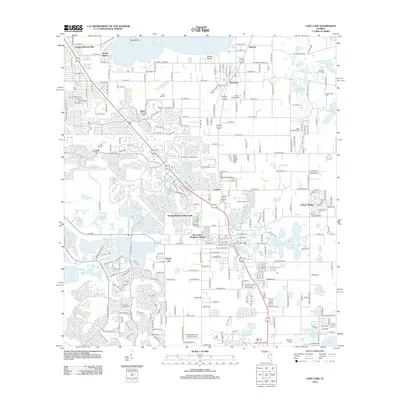 2012 Lady Lake2012 Print · USGSFlorida's lake country near the Sumter and Marion county line is captured here during a period of rapid residential expansion. Researchers can trace the layout of planned communities like Orange Blossom Hills alongside legacy sites such as Forest Hill Cem and Greenwood Cem.
 - 2012 Map of Stokes Ferry, 2012 Print
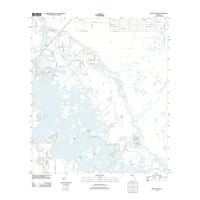 2012 Stokes Ferry2012 Print · USGSThe Withlacoochee river system and the northern wetlands of Citrus County come into focus during this early 21st-century survey. Trace the residential growth around Stokes Ferry and the isolated island geography of Tsala Apopka Lake and Point Lonesome.
 - 2012 Map of Lake Panasoffkee NW, 2012 Print
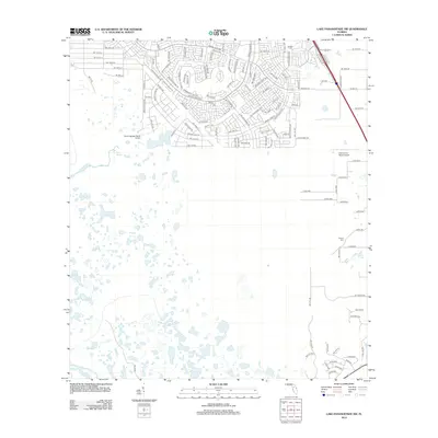 2012 Lake Panasoffkee NW2012 Print · USGSMarion County in the early twenty-first century reveals a landscape where suburban expansion meets the native wetlands of the interior. Researchers can trace the layout of the Marion Oaks development or locate local sites like Nichols Cem and Gum Springs.
 - 2012 Map of Umatilla, 2012 Print
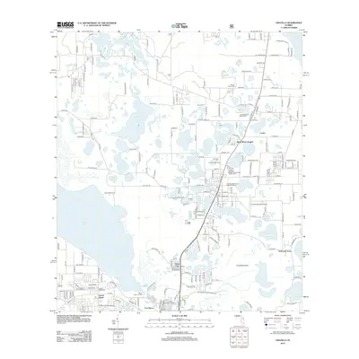 2012 Umatilla2012 Print · USGSLake County's central corridor is revealed here in the early twenty-first century, showing a landscape defined by citrus-belt heritage and waterfront living. Researchers can trace family sites at Umatilla Cem or explore the layouts of Fort Mason and Dona Vista.
 - 2012 Map of Emeralda Island, 2012 Print
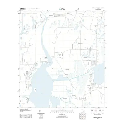 2012 Emeralda Island2012 Print · USGSThe Ocklawaha River wetlands and Lake Griffin shoreline appear here in detail during the early 2010s. Researchers can trace the layout of island settlements and water-access points like Starkes Ferry, Emeralda, and Blue Heron Cove Marina.
 - 2012 Map of Oxford, 2012 Print
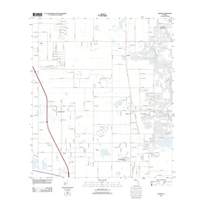 2012 Oxford2012 Print · USGSThe community of Oxford and the surrounding villages are shown at a time of rapid growth in the early 2010s. Genealogists and historians can trace local family roots through Royal Memorial Cem, Crum Cem, and the historic settlement at Royal.
 - 2012 Map of Dunnellon SE, 2012 Print
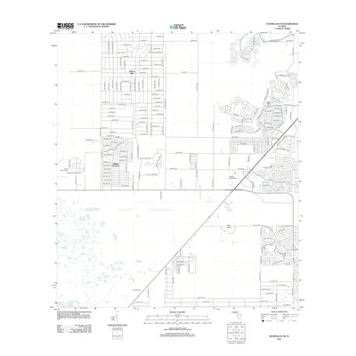 2012 Dunnellon SE2012 Print · USGSMarion County during the early 2010s shows a landscape of expanding residential grids bordering central Florida wetlands. Genealogists and local historians can trace developments like Rolling Hills and Rolling Ranches or locate the Marion County Airport and Lake Otting.
 - 2012 Map of Dunnellon, 2012 Print
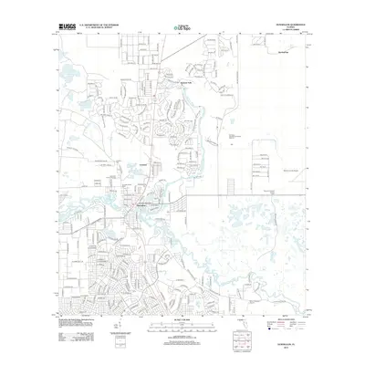 2012 Dunnellon2012 Print · USGSThe confluence of the Rainbow and Withlacoochee rivers highlights this Marion County area in the early 2010s. Researchers can locate Rockwell Cemetery, trace residential growth in Chatmire, and find landmarks like the Dunnellon Forestry Lookout Tower.
 - 2012 Map of Belleview, 2012 Print
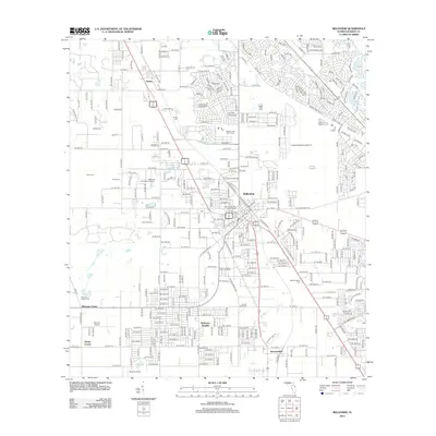 2012 Belleview2012 Print · USGSBelleview and the surrounding Marion County landscapes are captured here during a period of steady growth. Genealogists can locate family sites at Burrell Cem and Mount Pisgah Cem, while tracing the footprints of Taylor College and Belleview Heights.
 - 2012 Map of Cotton Plant, 2012 Print
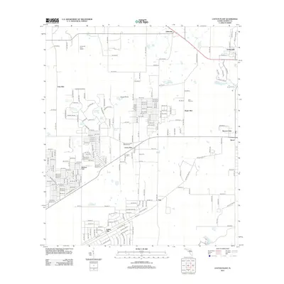 2012 Cotton Plant2012 Print · USGSMarion County at the start of the 2010s reveals a mix of established rural settlements and newer residential growth. Genealogists can trace local history at Saint Johns United Methodist Cem or explore the landscapes of Cotton Plant and Sturgis Prairie.
 - 2012 Map of Citra, 2012 Print
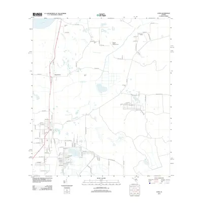 2012 Citra2012 Print · USGSThe North Florida citrus and lake country comes into focus in this early twenty-first-century survey. Researchers can trace the legacy of local families through Citra Cemetery and Antioch Cemetery or locate the Marjorie Kennan Rawlings Airport.
Showing maps 1-25 of 117
Top cities of Marion County
- Ocala historical maps
- Citra historical maps
- Rainbow Springs historical maps
- Belleview historical maps
- Dunnellon historical maps
- Reddick historical maps
See more
Frequently asked questions
- What are the different types of historical maps available for Marion County?
- What is the oldest map of Marion County?
- Where can I purchase historical maps of Marion County for my home or office?
- Where can I download high-res historical maps of Marion County?
- Are there historical topographic maps available for Marion County?
- Is there historical aerial imagery available for Marion County?
- Where are historical maps of Marion County sourced from?