2020s Maps of Marion County, Florida
Explore 80 historic maps of Marion County from the 2020s. These maps offer a rare glimpse into what life looked like during the 2020s — showing old roads, neighborhoods, homes, and landmarks that have changed or disappeared over time.
Whether you're researching your family's past, planning a metal detecting trip, or studying how Marion County's landscape evolved across the 2020s, these high-resolution maps are a powerful tool for exploring the history of this region.
- Focus on a specific era: All maps on this page are from the 2020s, giving you a focused view of this time period.
- See what’s changed: Compare century-old streets, trails, and buildings to today's modern landscape using overlays and satellite layers.
- Research with precision: Use these maps for genealogy, historical research, land use analysis, or educational projects.
- View, download, or print: Maps are fully viewable online in high resolution, and can be downloaded or printed for your own records.
Start exploring Marion County's history through authentic maps from the 2020s. This is your window into the past.
Marion County, FL maps
(80)- 2021 Map of Belleview, 2021 Print
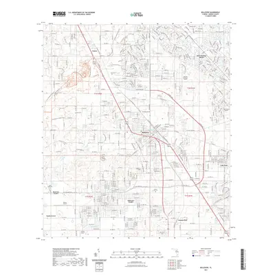 2021 Belleview2021 Print · USGSMarion County's central corridor shows significant residential and aviation growth during the early twenty-first century. Genealogists and local historians can trace family roots through several landmarks including Mount Olive Cem, Taylor College, and the old crossroads at Monroes Corner.
 - 2021 Map of Williston, 2021 Print
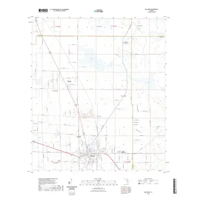 2021 Williston2021 Print · USGSWilliston and the surrounding tri-county borderlands of Levy, Alachua, and Marion counties are captured here in the early twenty-first century. Genealogists can trace family heritage through local landmarks like the Willis Family Cem, Orange Hill Cem, and Wacahoota Cem.
 - 2021 Map of Fairfield, 2021 Print
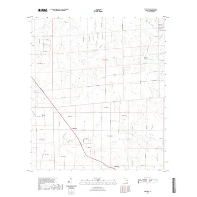 2021 Fairfield2021 Print · USGSMarion County's rural landscapes and crossroads come to life in this recent study of the area surrounding Fairfield. Researchers can locate family heritage sites at the Presbyterian Church Cem or trace the geography of Blitchton and Fellowship.
 - 2021 Map of Yankeetown SE, 2021 Print
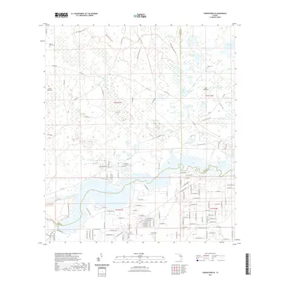 2021 Yankeetown SE2021 Print · USGSThe Florida Gulf Coast interior near the Levy, Marion, and Citrus county lines is captured here in the early twenty-first century. Researchers can trace rural cemetery sites like Cedar of Lebanon Cem and Dog Ear Cem or explore the wetlands around Lake Rousseau.
 - 2021 Map of Stokes Ferry, 2021 Print
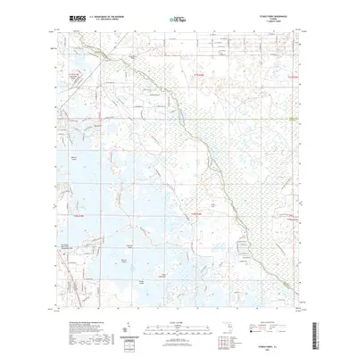 2021 Stokes Ferry2021 Print · USGSThe Citrus County wetlands and the winding Withlacoochee River come into focus in this recent survey. Local researchers can trace the modern boundaries of the Potts Preserve Trl and find isolated landmarks like Point Lonesome and Spooner Island.
 - 2021 Map of Oxford, 2021 Print
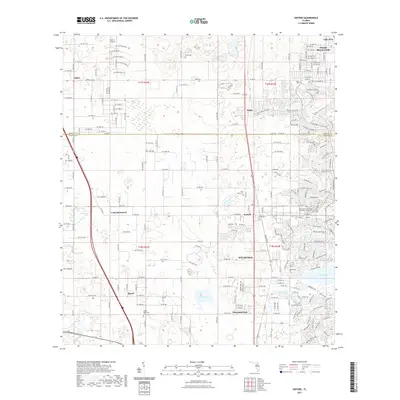 2021 Oxford2021 Print · USGSThe Sumter-Marion county line in the 2020s shows the transition from historic rural hamlets to rapid residential growth. Genealogists can trace family roots at Pine Level Cemetery and Royal Memorial Cemetery or study the rail corridor near Oxford.
 - 2021 Map of Lake Panasoffkee NW, 2021 Print
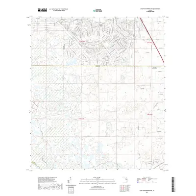 2021 Lake Panasoffkee NW2021 Print · USGSSouthern Marion County and the Sumter County line are shown here in the early twenty-first century as suburban growth meets the wetlands. Researchers can locate Alto Cem, Nichols Cem, and the extensive drainage of Gum Swamp and Gum Slough.
 - 2021 Map of Dunnellon, 2021 Print
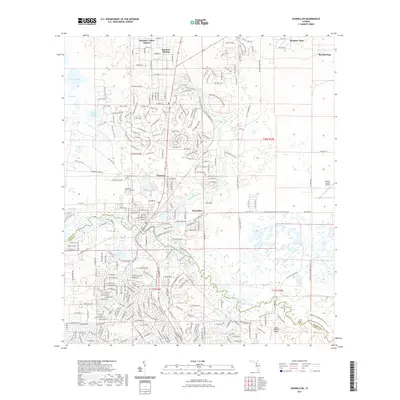 2021 Dunnellon2021 Print · USGSDunnellon and the surrounding Marion County spring country are shown here in the early twenty-first century as suburban growth and conservation lands meet. Trace local history at Rockwell Cem or explore the river corridor through Rainbow Springs State Park.
 - 2021 Map of Romeo, 2021 Print
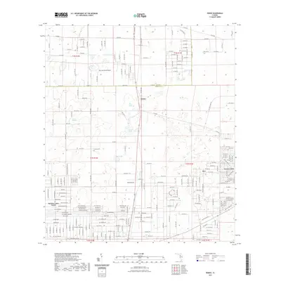 2021 Romeo2021 Print · USGSMarion County at the start of the 2020s shows a mix of growing residential communities and preserved natural basins. Genealogists and local researchers can trace family sites near Zion Hill Cem or explore the geography of Romeo and Rainbow Lakes Estates.
 - 2021 Map of Morriston, 2021 Print
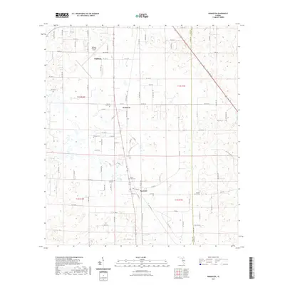 2021 Morriston2021 Print · USGSLevy County at the start of the 2020s shows a landscape where aviation and local heritage intersect. Genealogists can trace family landmarks like Sistrunk Family Cem and Plummers Cem near the historic settlements of Montbrook and Morriston.
 - 2021 Map of Dunnellon SE, 2021 Print
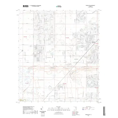 2021 Dunnellon SE2021 Print · USGSCentral Florida's landscape transitions from residential growth to vast state-managed prairies in the early twenty-first century. Genealogists and hikers can trace the Florida National Scenic Trl as it passes Adams Hammock and the Ross Prairie State Forest.
 - 2021 Map of Citra, 2021 Print
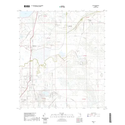 2021 Citra2021 Print · USGSThe Florida landscape near Citra and Island Grove is revealed in this recent survey, showcasing a mix of conservation trails and old cemeteries. Researchers can locate family landmarks like Tompkins Cem or explore the wetlands of Black Sink Prairie and Lochloosa Slough.
 - 2021 Map of McIntosh, 2021 Print
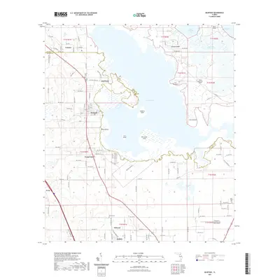 2021 McIntosh2021 Print · USGSThe north-central Florida lake country is documented here in the early twenty-first century as it spans the border of Alachua and Marion counties. Researchers can trace the layout of lakeside settlements like McIntosh and Boardman or locate family burial grounds at Center Hill Cem and Willow Plant Cem.
 - 2021 Map of Hawthorne, 2021 Print
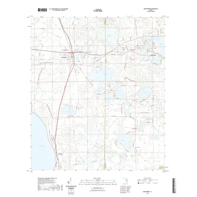 2021 Hawthorne2021 Print · USGSAlachua and Putnam counties are documented here in the early 2020s, showing a landscape defined by expansive prairies and lakeside settlements. Genealogists can locate several remote burying grounds like Morrison Cem and Gordon Chapel Cem or trace the early foundations of McMeekin and Hawthorne.
 - 2021 Map of Tidewater, 2021 Print
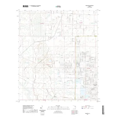 2021 Tidewater2021 Print · USGSLevy County and Marion County meet in this recent survey of the Florida wilderness and its bordering residential growth. Genealogists and hikers can trace the Goethe State Forest Trl or locate the Sand Pond Cem near Tidewater.
 - 2021 Map of Shady, 2021 Print
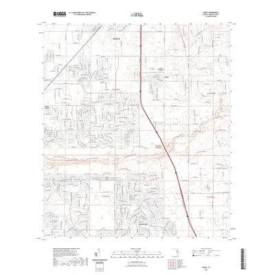 2021 Shady2021 Print · USGSThe southern outskirts of Marion County are seen here in their modern form, as residential growth extends toward the wetlands of Ross Prairie. Local researchers can trace the development of Marion Oaks and the aviation footprints of Shady International Airport and McGinley Airport.
 - 2021 Map of Cotton Plant, 2021 Print
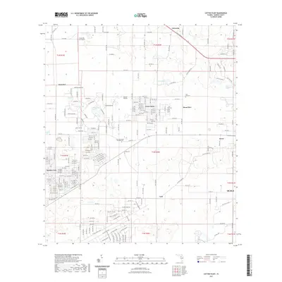 2021 Cotton Plant2021 Print · USGSMarion County just west of Ocala is shown here as it appeared in the early 2020s, blending rural prairies with new residential pockets. Researchers can trace local history through Saint Johns United Methodist Cem, Sturgis Prairie, and the settlement at York.
 - 2021 Map of Reddick, 2021 Print
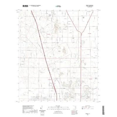 2021 Reddick2021 Print · USGSNorth-central Florida's agricultural and aviation corridor comes into focus here in the modern era. Trace local genealogy and settlement patterns through the established communities of Reddick, Martin, and Zuber, alongside rural sites like Baptist Cem.
 - 2021 Map of Anthony, 2021 Print
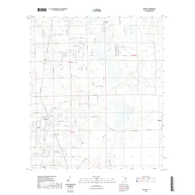 2021 Anthony2021 Print · USGSMarion County's rural heartland is documented here in the early twenty-first century, showing a landscape of limestone sink prairies and small crossroads towns. Family researchers can locate Dupree Cem and Mount Olive Cem while tracing the settlements of Anthony and Sparr.
 - 2021 Map of Flemington, 2021 Print
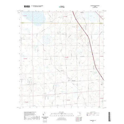 2021 Flemington2021 Print · USGSThe rural borders of Alachua and Marion Counties are captured here in the early twenty-first century, showing a landscape of prairies and scattered settlements. Genealogists can locate family landmarks like Cannan Church Cem, McFall Cem, and the community of Flemington.
 - 2021 Map of Ocala West, 2021 Print
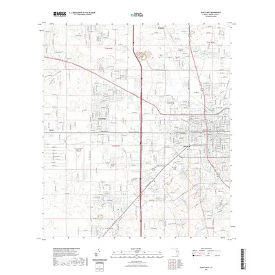 2021 Ocala West2021 Print · USGSThe western suburbs of Ocala and the outlying settlement of Kendrick are documented here in the early twenty-first century. Genealogists and historians can trace numerous burial sites like Watula Cem and Evergreen Cem alongside the growth of the College of Central Florida.
 - 2021 Map of Ocala East, 2021 Print
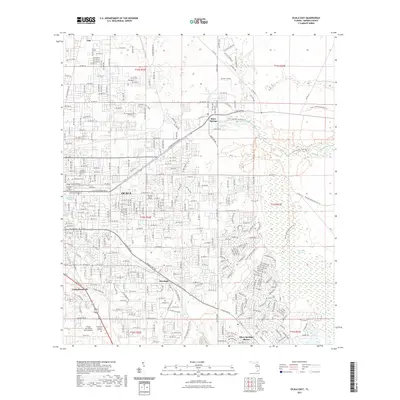 2021 Ocala East2021 Print · USGSThe eastern edges of Ocala and the headwaters of the Silver River are meticulously documented in this contemporary survey. Researchers can locate the Fort King Burial Grounds, Woodlawn Cem, and the historic Camp Roosevelt.
 - 2021 Map of Fort McCoy, 2021 Print
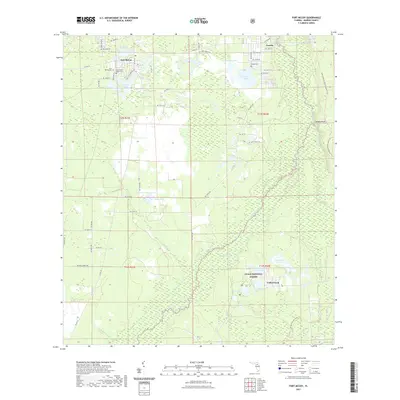 2021 Fort McCoy2021 Print · USGSMarion County's river-laced woodlands and the Ocala National Forest are shown in detail in this recent survey. Researchers can locate local burial sites like the Fort McCoy Negro Cem and trace the winding course of the Ocklawaha River.
 - 2021 Map of Lake Delancy, 2021 Print
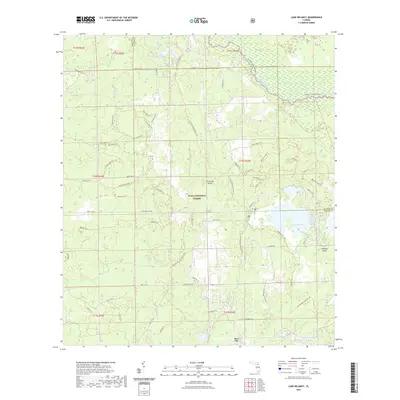 2021 Lake Delancy2021 Print · USGSThe Ocala National Forest backcountry comes to life on this contemporary survey of the Marion and Putnam county border. Hikers and historians can trace the Florida National Scenic Trail as it winds past Riverside Island and the shores of Lake Delancy.
 - 2021 Map of Farles Lake, 2021 Print
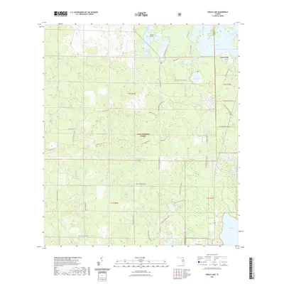 2021 Farles Lake2021 Print · USGSOcala National Forest and its intricate wetland systems are documented here in the early twenty-first century. Researchers can trace historic access routes and recreational sites like Camp Ocala, the Railroad Grade Rd, and Sellers Lake.
Showing maps 1-25 of 80
Top cities of Marion County
- Ocala historical maps
- Citra historical maps
- Rainbow Springs historical maps
- Belleview historical maps
- Dunnellon historical maps
- Reddick historical maps
See more
Frequently asked questions
- What are the different types of historical maps available for Marion County?
- What is the oldest map of Marion County?
- Where can I purchase historical maps of Marion County for my home or office?
- Where can I download high-res historical maps of Marion County?
- Are there historical topographic maps available for Marion County?
- Is there historical aerial imagery available for Marion County?
- Where are historical maps of Marion County sourced from?