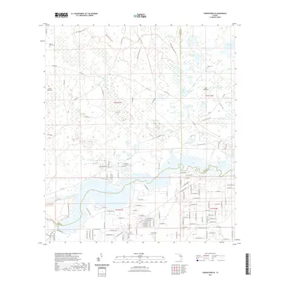
2021 Map of Yankeetown SE
USGS Topo · Published 2021About this map
The Withlacoochee River and Lake Rousseau anchor the southern landscape of this coastal Florida corridor, where Citrus, Levy, and Marion counties converge. This 2021 survey documents a region defined by extensive wetlands and named bays, such as Big Bay and Hells Bay, interspersed with isolated hammocks and dozens of small, namesake water bodies like Dog Ear Lake and Buck Lake. The northern reach is characterized by the structured grid of the Goethe State Forest Trl and a network of numbered rural roads that give way to the more dense residential development in the south. Genealogists and local historians can locate several historic burial sites, including Cedar of Lebanon Cem, Dog Ear Cem, and Robinson Cem, providing specific spatial context for family roots in this marshy landscape.
Find a feature on this map
147 named features on this map. Tap any name to fly to it.
Don’t see what you’re looking for? This feature index may not catch every label — zoom into the map to look around manually.
Map Details
Editions of this 2021 Yankeetown SE Map
This is the sole edition of this map. No revisions or reprints were ever made.
Other maps of this area

1892 · Dunnellon
USGS Topo · 1:62,500

1894 · Dunnellon
USGS Topo · 1:62,500

1895 · Tsala Apopka
USGS Topo · 1:62,500

1954 · Holder
USGS Topo · 1:24,000

1954 · Crystal River
USGS Topo · 1:24,000

1954 · Romeo
USGS Topo · 1:24,000

1954 · Dunnellon
USGS Topo · 1:24,000

1954 · Red Level
USGS Topo · 1:24,000

1954 · Yankeetown SE
USGS Topo · 1:24,000

1954 · Inverness
USGS Topo · 1:62,500