2020s Maps of Camden County, Georgia
Explore 42 historic maps of Camden County from the 2020s. These maps offer a rare glimpse into what life looked like during the 2020s — showing old roads, neighborhoods, homes, and landmarks that have changed or disappeared over time.
Whether you're researching your family's past, planning a metal detecting trip, or studying how Camden County's landscape evolved across the 2020s, these high-resolution maps are a powerful tool for exploring the history of this region.
- Focus on a specific era: All maps on this page are from the 2020s, giving you a focused view of this time period.
- See what’s changed: Compare century-old streets, trails, and buildings to today's modern landscape using overlays and satellite layers.
- Research with precision: Use these maps for genealogy, historical research, land use analysis, or educational projects.
- View, download, or print: Maps are fully viewable online in high resolution, and can be downloaded or printed for your own records.
Start exploring Camden County's history through authentic maps from the 2020s. This is your window into the past.
Camden County, GA maps
(42)- 2020 Map of Woodbine, 2020 Print
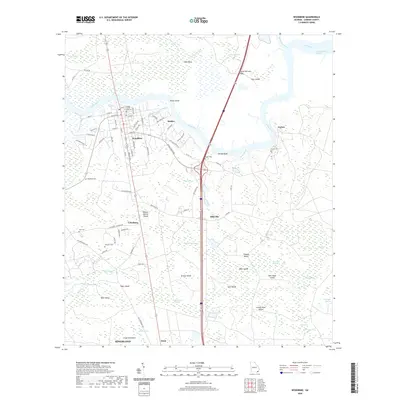 2020 Woodbine2020 Print · USGSCoastal Georgia's riverine landscape is captured here in the early twenty-first century as the Satilla River flows toward the Atlantic. Researchers can trace family history through local landmarks like the Camden County Courthouse and numerous burial grounds including Cole Cem and Green Cem.
 - 2020 Map of Kingsland, 2020 Print
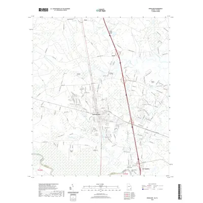 2020 Kingsland2020 Print · USGSCamden County, Georgia, at the Florida border, shows a landscape where modern transit meets deep coastal history. Researchers can find several distinct burial sites including Zion Cem and Carlton Cem alongside the waters of the Saint Marys River and Catfish Creek.
 - 2020 Map of Harrietts Bluff, 2020 Print
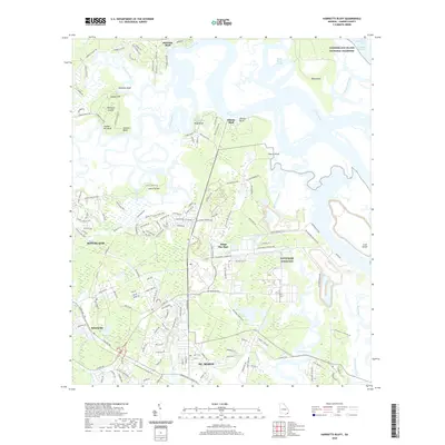 2020 Harrietts Bluff2020 Print · USGSCamden County’s coast at the start of the 2020s shows the convergence of modern military operations and preserved wilderness. Trace the massive footprint of Navsubase Kings Bay alongside historical river landings like Harrietts Bluff and Mush Bluff.
 - 2020 Map of Kingsland NE, 2020 Print
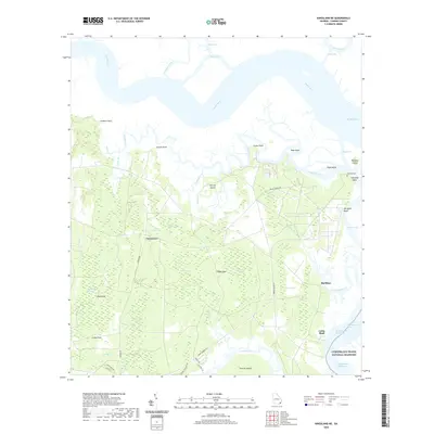 2020 Kingsland NE2020 Print · USGSCamden County's coastal wetlands and river networks are frozen in time here, showing the intricate geography of the Georgia shoreline in the 2020s. Genealogists and local historians can locate Fairfield Cem, the Forestview settlement, and landmarks like Cabin Bluff.
 - 2020 Map of Jerusalem, 2020 Print
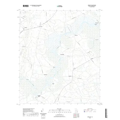 2020 Jerusalem2020 Print · USGSCamden County's riverfront settlements are documented here as they appeared in the modern era, centered on the winding Satilla River. Researchers can trace local heritage at Baileys Mill Cem or locate old landing points like Clarks Bluff and Bullhead Bluff.
 - 2020 Map of Cumberland Island South, 2020 Print
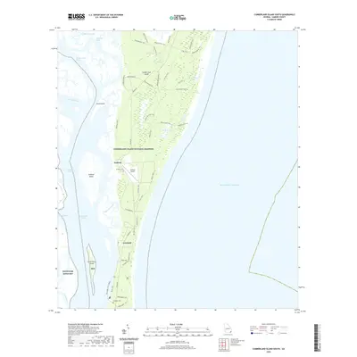 2020 Cumberland Island South2020 Print · USGSCumberland Island and its surrounding marshlands are captured in detail during the early twenty-first century. Researchers can trace the layout of Stafford and Greyfield, or locate the Carnegie Cem and Stafford Cem among the coastal dunes.
 - 2020 Map of Burnt Fort, 2020 Print
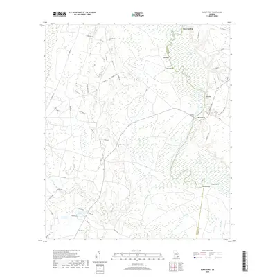 2020 Burnt Fort2020 Print · USGSThe Satilla River floodplain in Southeast Georgia comes to life on this map, showing the rural landscape where Charlton and Camden counties meet. Researchers can trace family history through several remote burial sites like Corinth Cem or explore the river landings and bluffs at Burnt Fort and Rains Landing.
 - 2020 Map of Cumberland Island North, 2020 Print
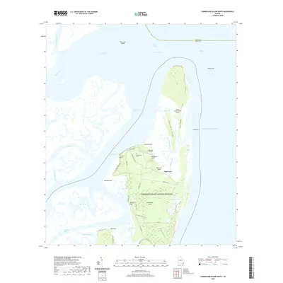 2020 Cumberland Island North2020 Print · USGSThe northern tip of Georgia's largest barrier island is captured here, showing the intersection of coastal wilderness and long-standing landmarks. Genealogists and historians can locate Cumberland Cem and trace historic routes like Grand Ave or the Terrapin Bluff Trail.
 - 2020 Map of Saint Marys, 2020 Print
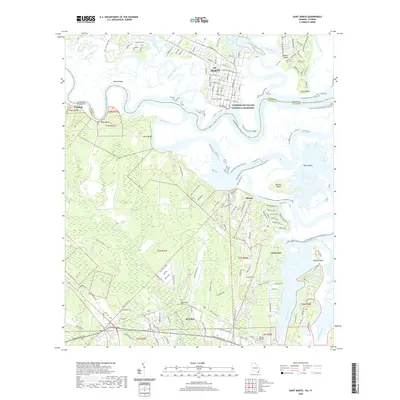 2020 Saint Marys2020 Print · USGSThe Georgia-Florida border comes alive in this modern survey of the riverlands and coastal marshes near the Atlantic. Genealogists and local historians can trace family locations at Oak Grove Cem and Higginbotham Cem or locate the old ferry crossing to Cumberland Island National Seashore.
 - 2020 Map of Brunswick West, 2020 Print
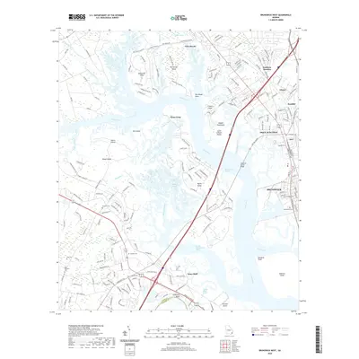 2020 Brunswick West2020 Print · USGSCoastal Georgia's intricate waterways and residential clusters are documented in detail during the 2020s. Researchers can trace local history through sites like Greenwood Cemetery and Palmetto Cemetery or the junctions at Glynco and Dock Junction.
 - 2020 Map of Bladen, 2020 Print
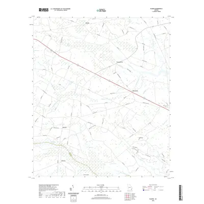 2020 Bladen2020 Print · USGSCoastal Georgia's wetland interior is documented here in the early twenty-first century, showing the rural communities of Glynn and Camden counties. Researchers can trace family sites at Wright Cem and Higginbotham Cem or locate the historic Laurel Grove Plantation near Hayner.
 - 2020 Map of Waynesville, 2020 Print
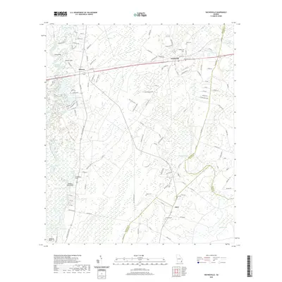 2020 Waynesville2020 Print · USGSSoutheast Georgia's river-bottom timberlands and rural communities are captured here in the contemporary era. Researchers can trace family history through numerous documented sites like Highsmith Cem, Wiggens Cem, and the riverfront at Lord King Bluff.
 - 2020 Map of Jekyll Island, 2020 Print
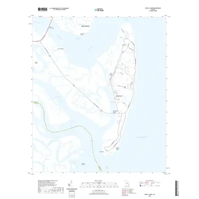 2020 Jekyll Island2020 Print · USGSJekyll Island and the Brunswick coast are shown in detail during the late twenty-teens, revealing the modern infrastructure of this iconic Georgia barrier island. Researchers can trace the legacy of the DuBignon family at DuBignon Cem or follow the shoreline from Clam Creek down to Saint Andrew Beach.
 - 2020 Map of Tarboro, 2020 Print
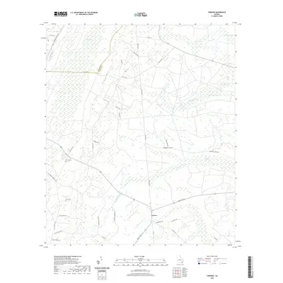 2020 Tarboro2020 Print · USGSCamden County, Georgia, is shown in recent detail at the edge of the coastal wetlands. Genealogists can locate family-named landmarks like Victory Cem, Harrell Cem, and numerous rural routes including Old Post Rd and Butler Johnson Rd.
 - 2020 Map of Waverly, 2020 Print
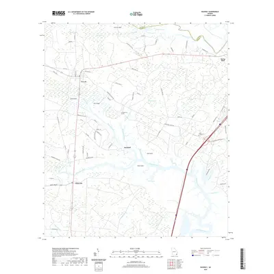 2020 Waverly2020 Print · USGSCoastal Camden County is documented here in the early twenty-first century as a landscape of interconnected wetlands and tidal reaches. Researchers can locate family landmarks like Quarterman Cem and trace the paths of Waverly Creek and White Oak Creek.
 - 2020 Map of Dover Bluff, 2020 Print
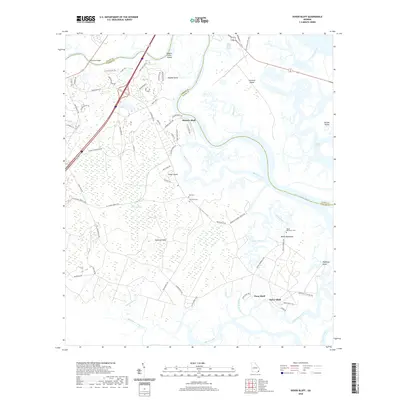 2020 Dover Bluff2020 Print · USGSCoastal Georgia's intricate tidal landscape and small river settlements are captured here in the 2020s. Genealogists and local historians can trace family-named sites like Hazzards Neck, Black Hammock Cem, and the historic waterfront at Dover Bluff.
 - 2020 Map of Boons Lake, 2020 Print
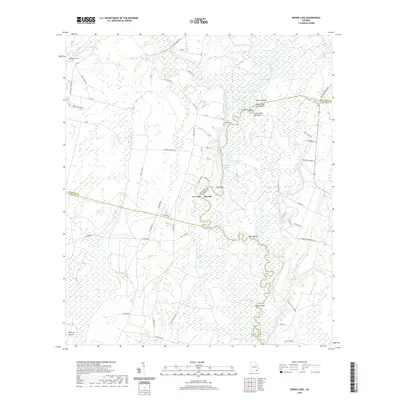 2020 Boons Lake2020 Print · USGSThe Satilla River floodplain comes into sharp focus in this recent survey of the Brantley and Camden County borderlands. Genealogists and local historians can trace family roots near Big Oak or locate the Bethlehem Cem and Dowling Cem.
 - 2021 Map of Boulogne, 2021 Print
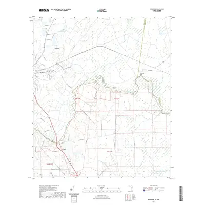 2021 Boulogne2021 Print · USGSThe Georgia-Florida borderlands come into focus in this contemporary survey of the river country near the turn of the decade. Genealogists and local historians can trace family sites at Camp Pinckney Cem or explore the river landings at Colerain and Boulogne.
 - 2021 Map of Gross, 2021 Print
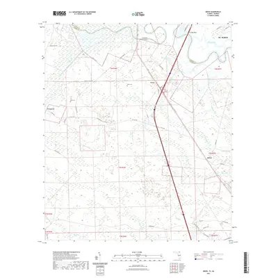 2021 Gross2021 Print · USGSThe Florida-Georgia borderland along the Saint Marys River is shown here as it appeared in recent years, documenting the wetlands and small towns of the coastal plain. Genealogists and local historians can locate Wildes Cem, Owens Cem, and the quiet settlements of Gross and Becker.
 - 2021 Map of Fernandina Beach, 2021 Print
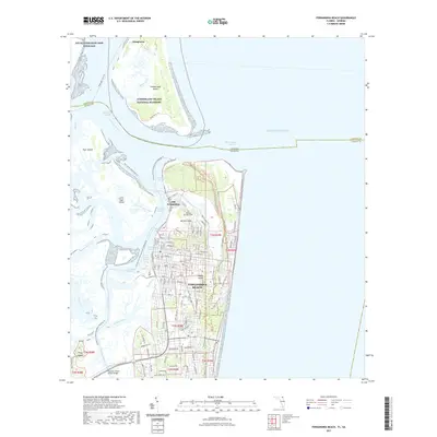 2021 Fernandina Beach2021 Print · USGSCoastal Florida and Georgia meet in this recent survey of the sea islands and their deep-water channels. Researchers can trace the transition from Old Fernandina to modern Fernandina Beach, or locate landmarks like Bosque Bello Cem and Fort Clinch.
 - 2021 Map of Kings Ferry, 2021 Print
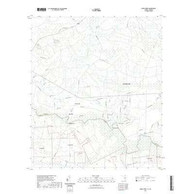 2021 Kings Ferry2021 Print · USGSThe Georgia and Florida borderlands along the Saint Marys River appear in detail during this recent survey. Researchers can trace rural lineages through local landmarks like Kings Ferry, Flea Hill, and the Brickyard Cem.
 - 2024 Map of Tarboro, 2024 Print
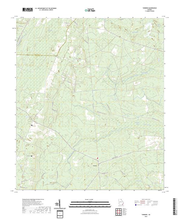 2024 Tarboro2024 Print · USGSCamden County's rural character and complex wetlands are meticulously detailed in this recent survey of the Tarboro area. Researchers can trace local lineage through family-named landmarks like Victory Cemetery or follow the historic paths of Old Post Road and Burnt Fort Road through the swamps.
 - 2024 Map of Waverly, 2024 Print
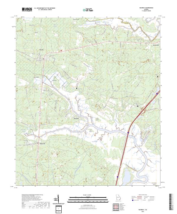 2024 Waverly2024 Print · USGSThe coastal wetlands of Camden County are captured in this contemporary survey of the Waverly and White Oak vicinity. Genealogists and historians can locate legacy sites like Magnolia Plantation and family markers at Quarterman Cem or Benton Cem.
 - 2024 Map of Jerusalem, 2024 Print
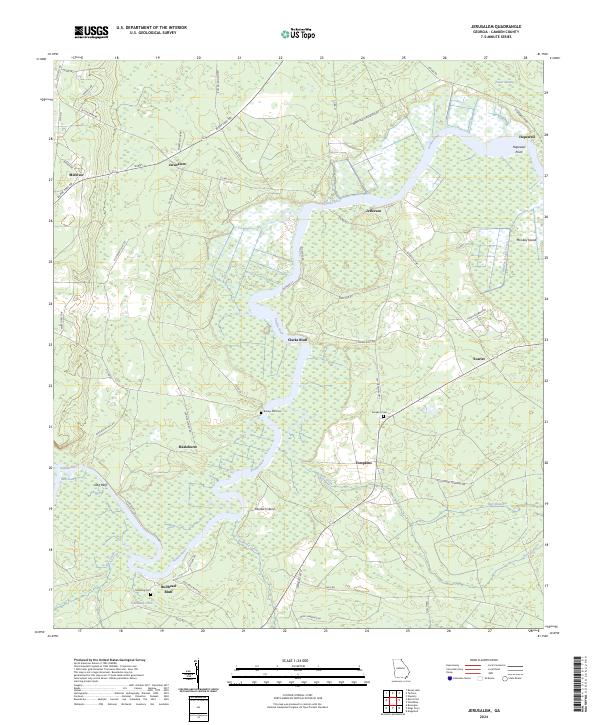 2024 Jerusalem2024 Print · USGSCamden County, Georgia, continues to be shaped by the winding Satilla River and its rural settlements. Researchers can trace family history through sites like Baileys Mill Cem and explore the geography of Clarks Bluff or the community at Jerusalem.
 - 2024 Map of Boons Lake, 2024 Print
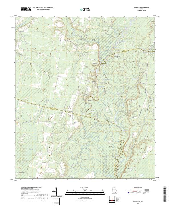 2024 Boons Lake2024 Print · USGSThe winding Satilla River defines this corner of Georgia, where Brantley, Camden, and Charlton counties converge in a landscape of river-bottom swamps. Genealogists and historians can trace old river crossings like Mills Ferry and locate family burial sites at Bethlehem Cem and Dowling Cem.
Showing maps 1-25 of 42
Top cities of Camden County
- St. Marys historical maps
- Kingsland historical maps
- Kings Bay Base historical maps
- Woodbine historical maps
Frequently asked questions
- What are the different types of historical maps available for Camden County?
- What is the oldest map of Camden County?
- Where can I purchase historical maps of Camden County for my home or office?
- Where can I download high-res historical maps of Camden County?
- Are there historical topographic maps available for Camden County?
- Is there historical aerial imagery available for Camden County?
- Where are historical maps of Camden County sourced from?