2020s Maps of Tybee Island, Georgia
Explore 6 historic maps of Tybee Island from the 2020s. These maps offer a rare glimpse into what life looked like during the 2020s — showing old roads, neighborhoods, homes, and landmarks that have changed or disappeared over time.
Whether you're researching your family's past, planning a metal detecting trip, or studying how Tybee Island's landscape evolved across the 2020s, these high-resolution maps are a powerful tool for exploring the history of this region.
- Focus on a specific era: All maps on this page are from the 2020s, giving you a focused view of this time period.
- See what’s changed: Compare century-old streets, trails, and buildings to today's modern landscape using overlays and satellite layers.
- Research with precision: Use these maps for genealogy, historical research, land use analysis, or educational projects.
- View, download, or print: Maps are fully viewable online in high resolution, and can be downloaded or printed for your own records.
Start exploring Tybee Island's history through authentic maps from the 2020s. This is your window into the past.
Tybee Island, GA maps
(6)- 2020 Map of Fort Pulaski, 2020 Print
 2020 Fort Pulaski2020 Print · USGSCovers Tybee Island, including Wilmington Island, Talahi Island, and other nearby areas
 - 2020 Map of Tybee Island North, 2020 Print
 2020 Tybee Island North2020 Print · USGSCovers Tybee Island, including Hilton Head Island, Chatham County, and other nearby areas
 - 2020 Map of Tybee Island South, 2020 Print
 2020 Tybee Island South2020 Print · USGSCovers Tybee Island, including Chatham County, United States, and other nearby areas
 - 2024 Map of Tybee Island South, 2024 Print
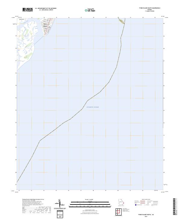 2024 Tybee Island South2024 Print · USGSThe southern tip of Tybee Island is captured in this recent survey, showcasing the coastal grid at the edge of the Georgia shore. Genealogists and local historians can trace the residential layout along Tybrisa St and Strand Ave where the island meets the Atlantic Ocean.
 - 2024 Map of Tybee Island North, 2024 Print
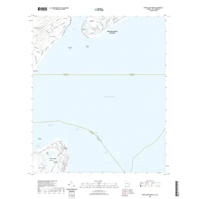
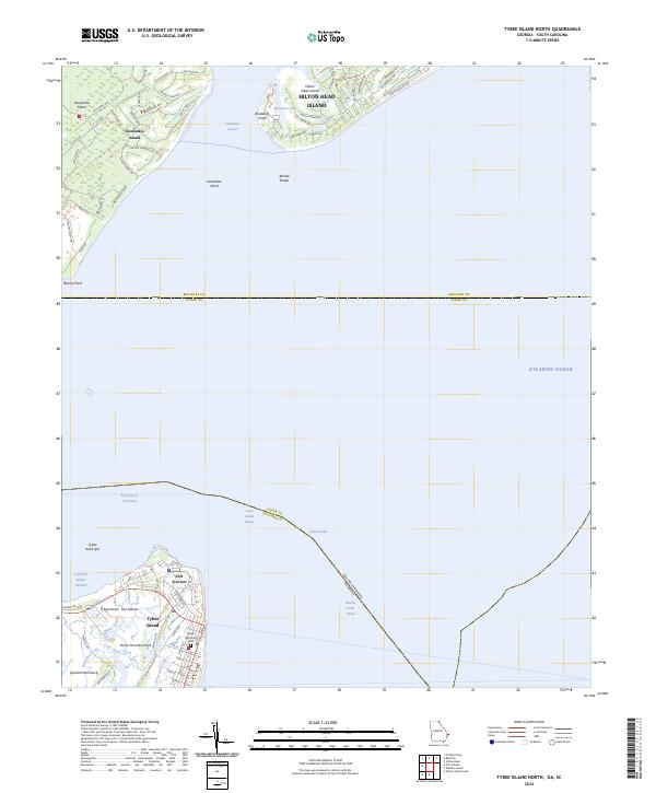 2024 Tybee Island North2024 Print · USGSThe Georgia and South Carolina coastlines meet here at the edge of the Atlantic during the mid-2020s. Researchers can trace the layout of Fort Screven, the Tybee Memorial Cem, and the historic landing areas at Bloody Point on Daufuskie Island.
 - 2024 Map of Fort Pulaski, 2024 Print
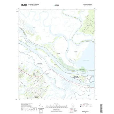
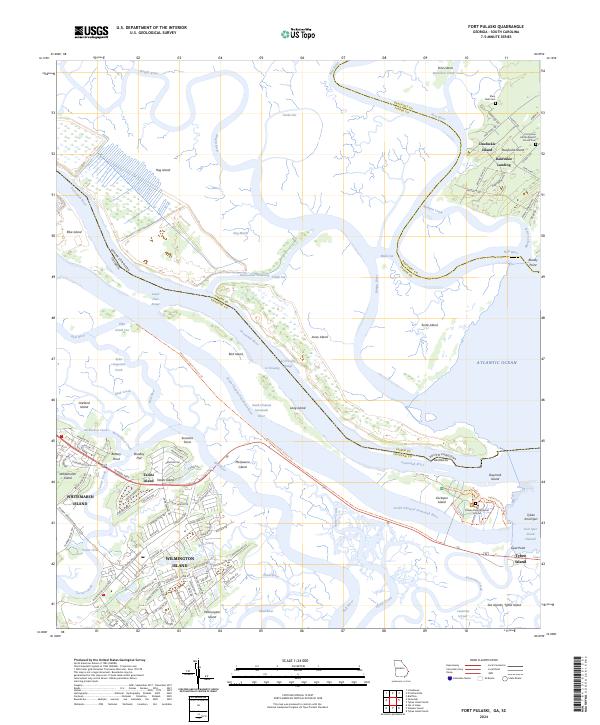 2024 Fort Pulaski2024 Print · USGSThe coastal marshes of the Georgia and South Carolina border are mapped here in the early twenty-first century. Researchers can trace the grounds of Fort Pulaski National Monument or locate family sites like the First Union African Baptist Church Cem on Daufuskie Island.
End of results
Showing maps 1-6 of 6
Top cities near Tybee Island
- Savannah historical maps
- Hilton Head Island historical maps
- Wilmington Island historical maps
- Skidaway Island historical maps
- Whitemarsh Island historical maps
- Bluffton historical maps
See more
Frequently asked questions
- What are the different types of historical maps available for Tybee Island?
- What is the oldest map of Tybee Island?
- Where can I purchase historical maps of Tybee Island for my home or office?
- Where can I download high-res historical maps of Tybee Island?
- Are there historical topographic maps available for Tybee Island?
- Is there historical aerial imagery available for Tybee Island?
- Where are historical maps of Tybee Island sourced from?