2024 Map of Tybee Island South
USGS Topo · Published 2024About this map
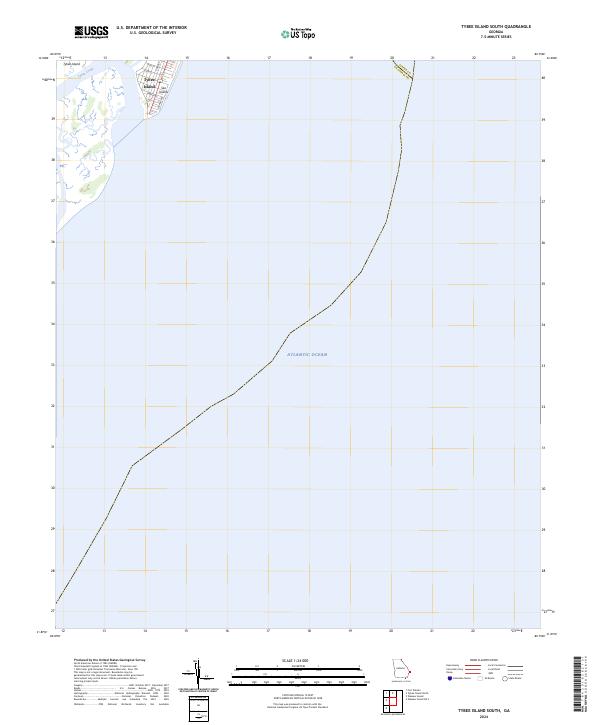
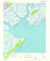
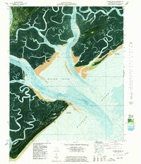
Tybee Island occupies the northwestern corner of this coastal survey, where the southern reaches of the community meet the marshy edges of Tybee Creek. The street grid reflects the residential and commercial character of the southern end of the island, featuring local thoroughfares like Tybrisa St, Strand Ave, and 2nd Ave. This area serves as a primary point of access to the shoreline, illustrating the transition from developed Sea Islands terrain to the open expanse of the Atlantic Ocean.
Find a feature on this map
12 named features on this map. Tap any name to fly to it.
Don’t see what you’re looking for? This feature index may not catch every label — zoom into the map to look around manually.
Map Details
Editions of this 2024 Tybee Island South Map
This is the sole edition of this map. No revisions or reprints were ever made.
Historical Maps of Tybee Island Through Time
23 maps found

1944 Ossabaw Island
Chatham County, GA

1945 Ossabaw Island
Chatham County, GA
1957 Burroughs
Chatham County, GA
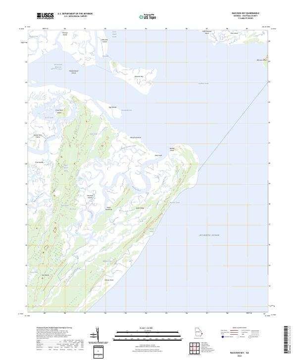
1957 Raccoon Key
Chatham County, GA
1957 Savannah Beach South
Chatham County, GA
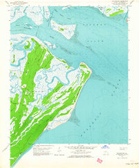
1957 Wassaw Sound
Chatham County, GA
1958 Meldrim SE
Chatham County, GA
1978 Fort Pulaski
Chatham County, GA
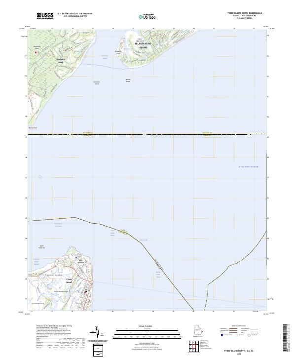
1978 Tybee Island North
Chatham County, GA
1978 Wassaw Sound
Chatham County, GA
1979 Burroughs
Chatham County, GA
1979 Raccoon Key
Chatham County, GA
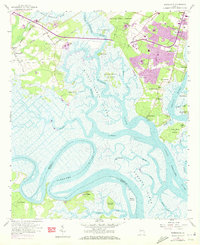
1979 Tybee Island South
Chatham County, GA
1980 Wassaw Sound
Chatham County, GA
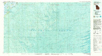
2024 Burroughs
Chatham County, GA
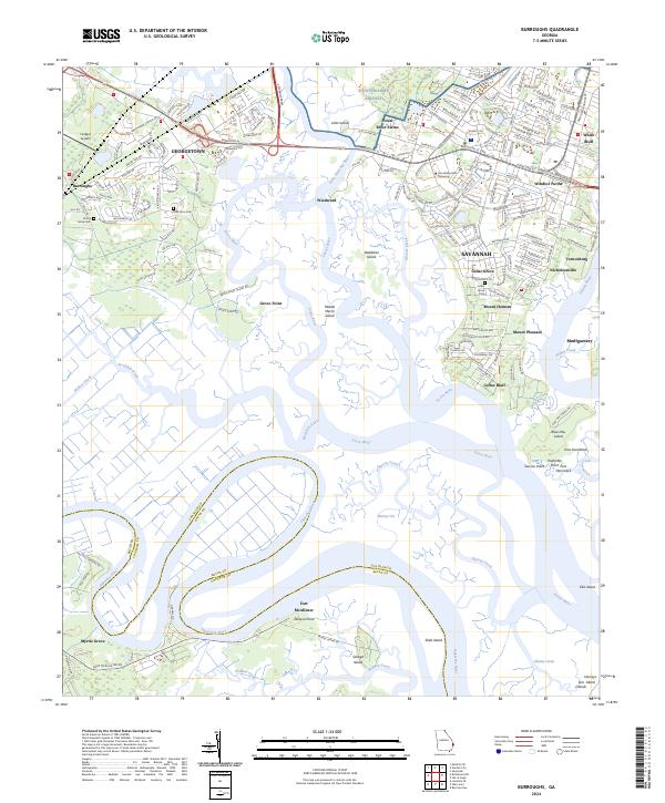
2024 Fort Pulaski
Chatham County, GA
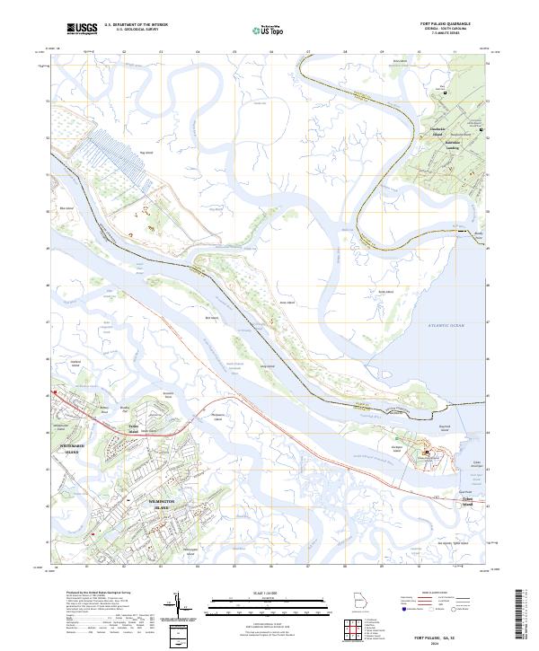
2024 Meldrim SE
Chatham County, GA
2024 Raccoon Key
Chatham County, GA
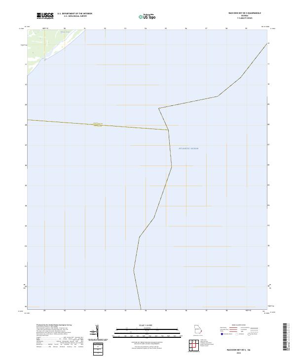
2024 Raccoon Key OE S
Chatham County, GA
2024 Tybee Island North
Chatham County, GA
2024 Tybee Island South
Chatham County, GA
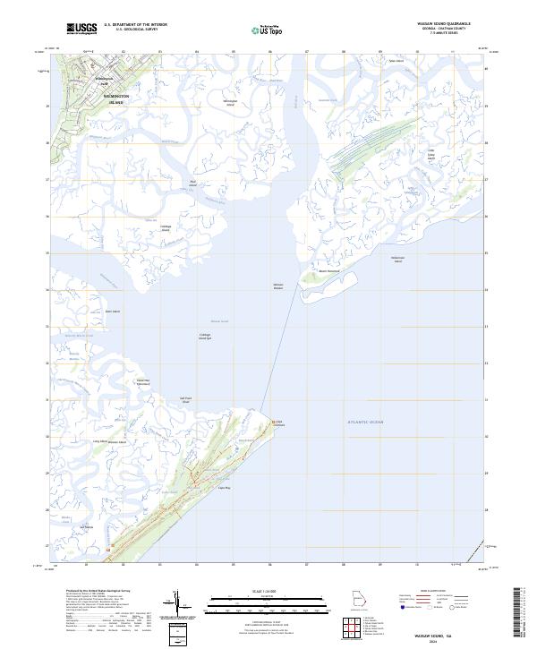
2024 Wassaw Sound
Chatham County, GA
2024 Wassaw Sound OE S
Chatham County, GA