2020s Maps of Turner County, Georgia
Explore 24 historic maps of Turner County from the 2020s. These maps offer a rare glimpse into what life looked like during the 2020s — showing old roads, neighborhoods, homes, and landmarks that have changed or disappeared over time.
Whether you're researching your family's past, planning a metal detecting trip, or studying how Turner County's landscape evolved across the 2020s, these high-resolution maps are a powerful tool for exploring the history of this region.
- Focus on a specific era: All maps on this page are from the 2020s, giving you a focused view of this time period.
- See what’s changed: Compare century-old streets, trails, and buildings to today's modern landscape using overlays and satellite layers.
- Research with precision: Use these maps for genealogy, historical research, land use analysis, or educational projects.
- View, download, or print: Maps are fully viewable online in high resolution, and can be downloaded or printed for your own records.
Start exploring Turner County's history through authentic maps from the 2020s. This is your window into the past.
Turner County, GA maps
(24)- 2020 Map of Ashburn, 2020 Print
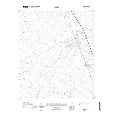 2020 Ashburn2020 Print · USGSTurner County at the start of the 2020s shows a landscape defined by its small towns and rural heritage. Genealogists and historians can trace the foundations of Ashburn and Sycamore, locating Rose Hill Cem and the Turner County Courthouse.
 - 2020 Map of Chula, 2020 Print
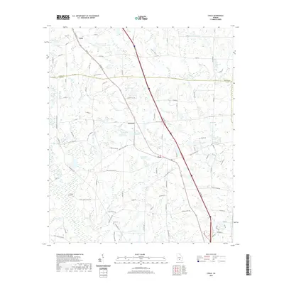 2020 Chula2020 Print · USGSThe rural landscape of South Georgia is captured here in the 2020s, centered on the communities of Chula and Sunsweet. Local researchers can trace family roots through sites like Hickory Springs Church, Inaha Cem, and Fletcher Cem.
 - 2020 Map of Cuffietown, 2020 Print
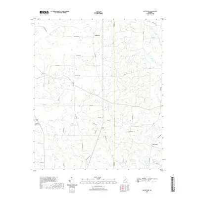 2020 Cuffietown2020 Print · USGSThe rural border of Worth and Turner Counties comes into focus in this recent study of South Georgia’s agricultural heartland. Researchers can trace family history through sites like Red Oak Cemetery or follow the winding paths of Abrams Creek and Jeter Creek.
 - 2020 Map of Amboy, 2020 Print
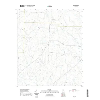 2020 Amboy2020 Print · USGSCoastal Plain agriculture and traditional family farmsteads define the landscape of south-central Georgia in the modern era. Genealogists and local historians can locate rural landmarks like Rainey Cem, the community of Amboy, and the waters of Gibbs Lake.
 - 2020 Map of Rebecca, 2020 Print
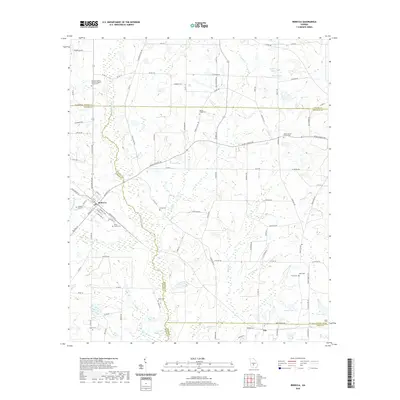 2020 Rebecca2020 Print · USGSNear the intersection of Turner, Wilcox, and Ben Hill counties, this recent survey shows the persistent agricultural and spiritual landscape of South Georgia. Researchers can trace numerous family burial sites and rural congregations, including Youngs Chapel Cem, Paulk Cem, and Salem Baptist Church Cem.
 - 2020 Map of Arabi, 2020 Print
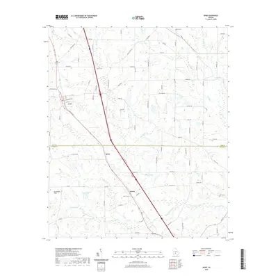 2020 Arabi2020 Print · USGSIn the rural South during the early twenty-first century, this area of Georgia shows a string of rail and road settlements. Genealogists and historians can trace the spatial relationships between Arabi, Dakota, and Sibley or locate natural features like Haw Pond.
 - 2020 Map of Sylvester, 2020 Print
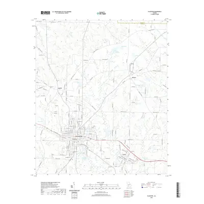 2020 Sylvester2020 Print · USGSSylvester and the surrounding Worth County countryside are captured here in the early twenty-first century. Researchers can trace family history through local landmarks like the Worth County Courthouse and numerous rural cemeteries including Antioch Cem and Hillcrest Cem.
 - 2020 Map of Sumner, 2020 Print
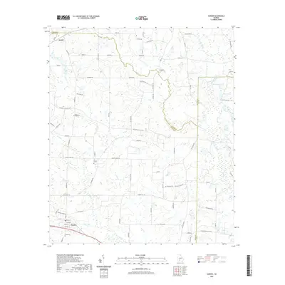 2020 Sumner2020 Print · USGSThe rural agricultural lands of Worth County are documented here in recent decades, showing the network of family roads and waterways. Genealogists can locate several local burial sites like Old Sumner Cem and Damascus Cem near the Little River.
 - 2020 Map of Irwinville, 2020 Print
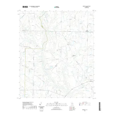 2020 Irwinville2020 Print · USGSIrwin County and the upper Alapaha River are shown here in recent years, revealing a landscape of wetlands and rural crossroads. Local researchers can locate family sites at Irwinville Cem, Lands Crossroads, and the Big Creek Missionary Baptist Church Cem.
 - 2020 Map of Bethel, 2020 Print
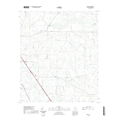 2020 Bethel2020 Print · USGSThe rural landscape of Turner County comes into focus in this recent survey of the area around Sycamore. Genealogists and historians can locate numerous family-named landmarks like Bethel Cem, Geoghagan Bridge, and Wells Lake.
 - 2020 Map of Waterloo, 2020 Print
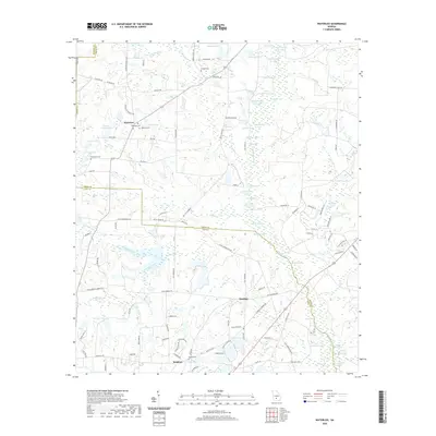 2020 Waterloo2020 Print · USGSThe rural crossing at Waterloo and the settlement of Brighton are documented here in the early twenty-first century. Genealogists and local historians can trace family locations through several burial grounds, including Eureka Cem and Macedonia Cem.
 - 2020 Map of Pateville, 2020 Print
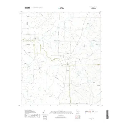 2020 Pateville2020 Print · USGSThe communities of Arabi and Pateville are shown here as they exist today at the junction of three Georgia counties. Researchers can trace rural family roots and landmarks through the Story-Odum Cem, Zion Hope Cem, and Primrose Bridge.
 - 2024 Map of Pateville, 2024 Print
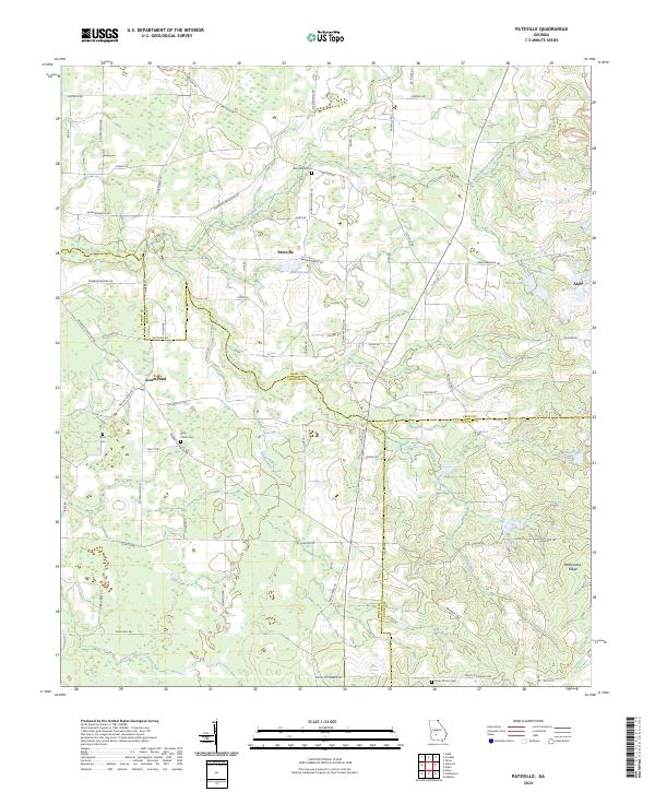 2024 Pateville2024 Print · USGSThe agricultural heart of South Georgia is documented here in the early twenty-first century as it spans three county lines. Genealogists and historians can locate legacy family burial sites like Story - Odom Cem and Zion Hope Cem while tracing the waters of Swift Creek.
 - 2024 Map of Irwinville, 2024 Print
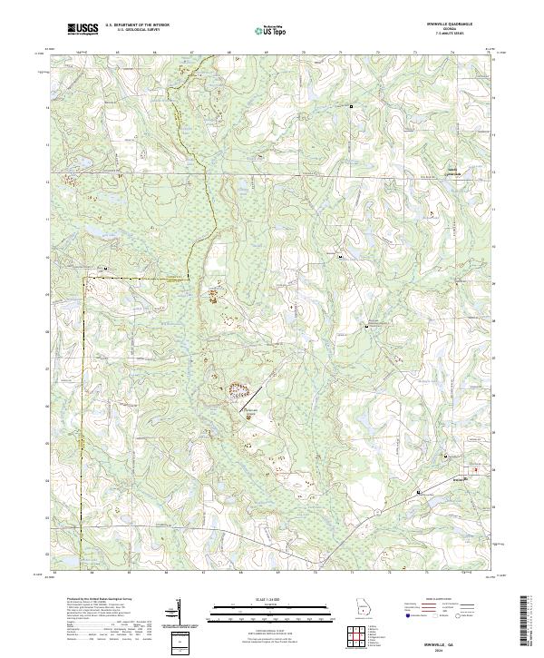 2024 Irwinville2024 Print · USGSIrwin County and Turner County are captured here in the early twenty-first century, centered on the historic Irwinville settlement. Genealogists and researchers can locate family sites at Oak Grove Cem, Avery Cem, or Lands Crossroads among the bends of the Alapaha River.
 - 2024 Map of Amboy, 2024 Print
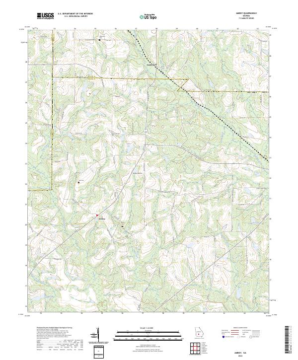 2024 Amboy2024 Print · USGSSouthern Turner County and its neighbors come into focus in this contemporary survey of Georgia's agricultural heartland. Genealogists and local historians can locate several family cemeteries, including Pate Cem and Oklahoma Cem, while tracing the paths of Wolf Creek and Double Run Creek.
 - 2024 Map of Waterloo, 2024 Print
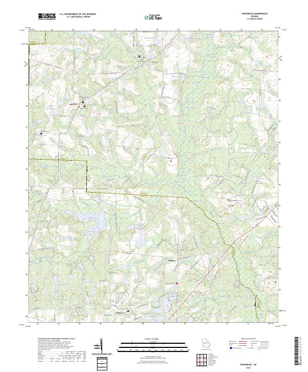 2024 Waterloo2024 Print · USGSIrwin and Tift counties appear here at the transition of the new millennium, showcasing a rural landscape tied to the Alapaha River. Researchers can trace local family history at Waterloo Baptist Church Cem and Harding Cem or locate the Tifton Fishing Club Lake.
 - 2024 Map of Cuffietown, 2024 Print
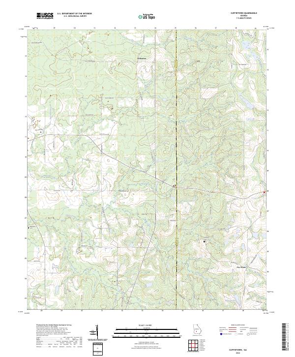 2024 Cuffietown2024 Print · USGSWorth and Turner counties at the contemporary moment reveal a persistent rural landscape defined by family landholdings and slow-moving creek bottoms. Researchers can trace local lineage through Red Oak Cemetery and named roads like HOBBY SCHOOL RD or JOE HOBBY RD.
 - 2024 Map of Sumner, 2024 Print
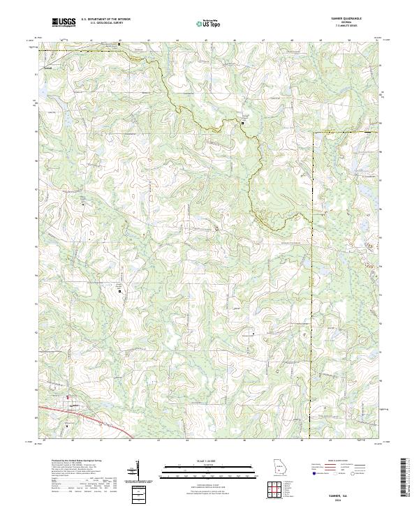 2024 Sumner2024 Print · USGSCoastal Plain farmland in South Georgia remains defined by its family-run homesteads and quiet creek branches in the 2020s. Researchers can trace ancestral footprints at Sumner Cem, find the historic site of Joesph Sumner, or follow the winding Little River.
 - 2024 Map of Sylvester, 2024 Print
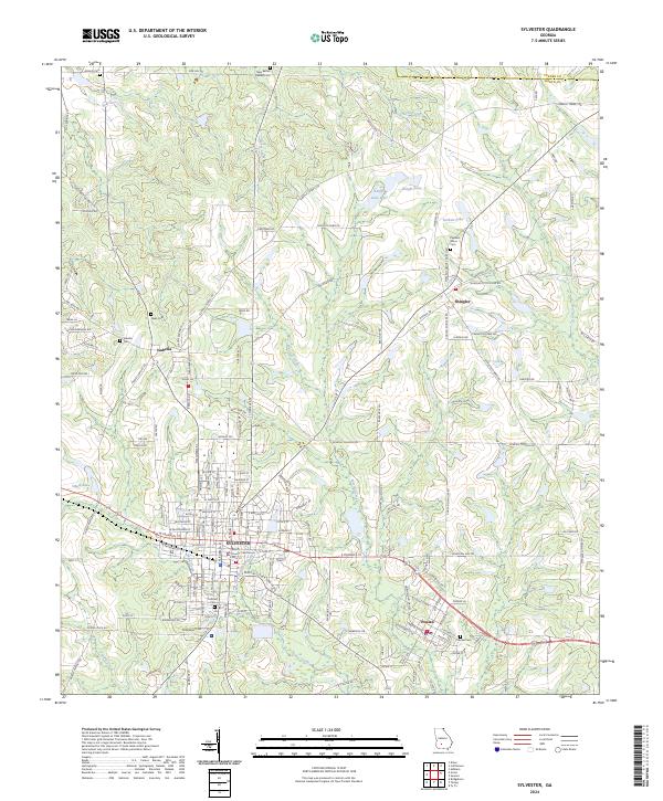 2024 Sylvester2024 Print · USGSSylvester and the surrounding Worth County countryside are shown here in the early twenty-first century, anchored by the rail corridor. Researchers can trace local lineage through Hillcrest Cem, find the Worth County Courthouse, or explore the smaller community of Poulan.
 - 2024 Map of Arabi, 2024 Print
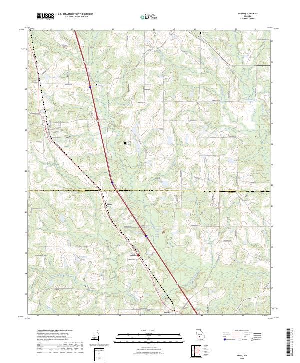 2024 Arabi2024 Print · USGSArabi and the surrounding Crisp County farm country are documented here in the early twenty-first century. Researchers can trace rural lineages through numerous burial grounds like Pitts Cem and Hopewell Cem or explore the drainage of Lime Creek.
 - 2024 Map of Ashburn, 2024 Print
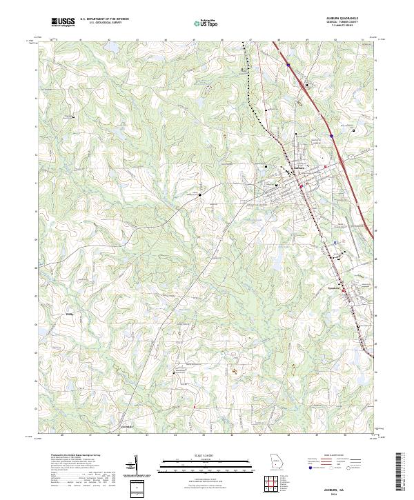 2024 Ashburn2024 Print · USGSTurner County's agricultural heart is captured in this modern survey of the plains around the Little River. Genealogists can locate family burial sites like Widdons Cem and Mary Henderson Cem or trace the early roots of communities in Ashburn and Sycamore.
 - 2024 Map of Chula, 2024 Print
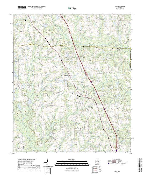 2024 Chula2024 Print · USGSCoastal plain farmland and timber tracts define Tift County in this modern survey. Researchers can trace rural genealogy and local history through several documented burial sites and landmarks, including Hickory Springs Cem, Whiddons Millpond, and Chula.
 - 2024 Map of Rebecca, 2024 Print
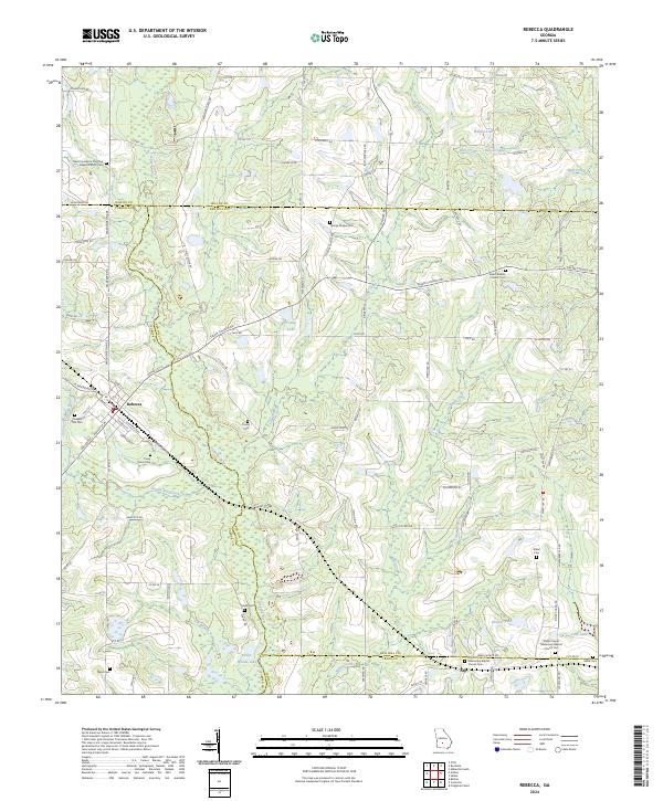 2024 Rebecca2024 Print · USGSThe town of Rebecca stands at a multi-county junction in South Georgia, where rural life is anchored by a remarkable density of historic family and church burial grounds. Genealogists can trace local heritage through sites like New Providence Primitive Baptist Church Cem, Young Cem, and Piney Grove Cem.
 - 2024 Map of Bethel, 2024 Print
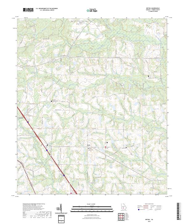 2024 Bethel2024 Print · USGSTurner County at the start of the 2020s remains a landscape of deep-rooted community foundations and rural crossroads. Genealogists can trace family names and local history through several key burial grounds, including Pleasant Hill Cem, Clements Cem, and the Live Oak Methodist Church Cem.
End of results
Showing maps 1-24 of 24
Top cities of Turner County
Frequently asked questions
- What are the different types of historical maps available for Turner County?
- What is the oldest map of Turner County?
- Where can I purchase historical maps of Turner County for my home or office?
- Where can I download high-res historical maps of Turner County?
- Are there historical topographic maps available for Turner County?
- Is there historical aerial imagery available for Turner County?
- Where are historical maps of Turner County sourced from?