1990s Maps of Adams County, Idaho
Explore 11 historic maps of Adams County from the 1990s. These maps offer a rare glimpse into what life looked like during the 1990s — showing old roads, neighborhoods, homes, and landmarks that have changed or disappeared over time.
Whether you're researching your family's past, planning a metal detecting trip, or studying how Adams County's landscape evolved across the 1990s, these high-resolution maps are a powerful tool for exploring the history of this region.
- Focus on a specific era: All maps on this page are from the 1990s, giving you a focused view of this time period.
- See what’s changed: Compare century-old streets, trails, and buildings to today's modern landscape using overlays and satellite layers.
- Research with precision: Use these maps for genealogy, historical research, land use analysis, or educational projects.
- View, download, or print: Maps are fully viewable online in high resolution, and can be downloaded or printed for your own records.
Start exploring Adams County's history through authentic maps from the 1990s. This is your window into the past.
Adams County, ID maps
(11)- 1990 Map of Purgatory Saddle
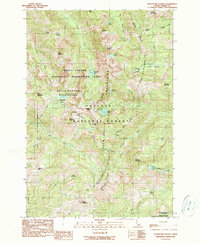 1990 Purgatory Saddle1990 Print · USGSHigh in the Seven Devils during the 1990s, this map captures a landscape of intense relief and wilderness protection. Researchers can locate remote mining history at the Iron Springs (Site) and trace backcountry trails through Purgatory Saddle and Six Lake Basin.2 unique versions available
 - 1990 Map of He Devil
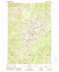 1990 He Devil1990 Print · USGSThe Seven Devils Mountains of Idaho are captured in the early nineties, showing a landscape defined by high peaks and remote wilderness management. Trace legacy sites like the Rankin Mill (Site) Mine Ruins and the Hibbs Cow Camp (Site) among alpine waters like Mirror Lake.2 unique versions available
 - 1990 Map of Squirrel Prairie
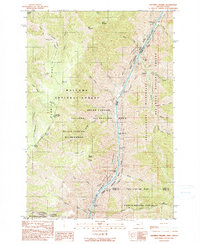 1990 Squirrel Prairie1990 Print · USGSHells Canyon at the turn of the 1990s reveals a landscape of high-elevation prairies and dangerous whitewater along the Idaho border. Researchers can trace historic sites like Hibbs Ranch (Site) and navigate the river's path through Wild Sheep Rapids and Rocky Point Rapids.
 - 1990 Map of White Monument
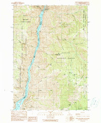 1990 White Monument1990 Print · USGSHells Canyon and the Snake River corridor are captured here at the start of the 1990s as the landscape transitions from industrial mining to wilderness recreation. Genealogists and historians can locate old mining operations like the South Peacock Mine and the former settlement at Helena (Site).
 - 1990 Map of Cuprum
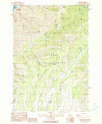 1990 Cuprum1990 Print · USGSAdams County in the 1990s reveals a landscape of high-country mining camps and remote forest outposts along the Snake River. Genealogists and researchers can pinpoint former settlement locations at Landore (Site) and Decorah (Site) or trace the Copper Cliff Mine.
 - 1990 Map of Butterfield Gulch
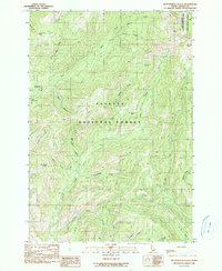 1990 Butterfield Gulch1990 Print · USGSAdams County’s high backcountry in the Payette National Forest is captured here at the start of the 1990s. Researchers can trace old mountain industry and access points like the Barinaga Corrals (Site), the Lick Creek Lookout, and a remote Mine at Placer Basin.
 - 1990 Map of Homestead
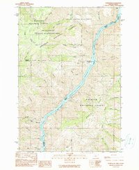 1990 Homestead1990 Print · USGSThe Snake River frontier on the Oregon-Idaho border comes into focus in this late twentieth-century survey. Genealogists and local historians can locate the Homestead Cem, the settlement of Copper, and the workings at the Ironduke Mine.
 - 1995 Map of Pollock, 1999 Print
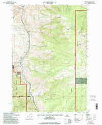 1995 Pollock1999 Print · USGSThe Little Salmon River corridor comes into focus in the mid-1990s as it winds through the Idaho backcountry between two national forests. Genealogists and local historians can trace the canyon settlements of Pollock, Gotzinger, and Carrey, alongside landmarks like Indian Hill and the Sheep Creek Rest Area.
 - 1995 Map of Heavens Gate, 1999 Print
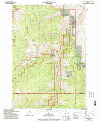 1995 Heavens Gate1999 Print · USGSThe high ridges of the Salmon River country are captured here in the mid-1990s as federal land management defined the wilderness. Researchers can locate remote backcountry sites like Wurl Cabin, the Oregon Tipton Mine, and the Heavens Gate Lookout.
 - 1995 Map of He Devil, 1999 Print
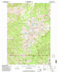 1995 He Devil1999 Print · USGSThe Seven Devils Mountains reach their peak in the 1990s as a protected wilderness area along the Idaho and Adams county line. Researchers can trace remote history at the Hibbs Cow Camp (Site) or locate the high-altitude Mine near Carbonate Hill.2 unique versions available
 - 1995 Map of Squirrel Prairie, 1999 Print
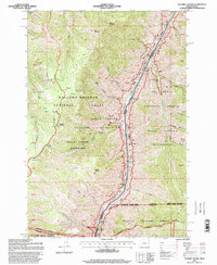 1995 Squirrel Prairie1999 Print · USGSHells Canyon at the Oregion-Idaho border is shown here in the mid-1990s as a managed wilderness and recreation corridor. Researchers can locate remote homestead sites like Hibbs Ranch and Marks Cabin, or trace the path of the Snake River past Warm Springs Bar.
End of results
Showing maps 1-11 of 11
Top cities of Adams County
Frequently asked questions
- What are the different types of historical maps available for Adams County?
- What is the oldest map of Adams County?
- Where can I purchase historical maps of Adams County for my home or office?
- Where can I download high-res historical maps of Adams County?
- Are there historical topographic maps available for Adams County?
- Is there historical aerial imagery available for Adams County?
- Where are historical maps of Adams County sourced from?