2000-2009 Maps of Adams County, Idaho
Explore 30 historic maps of Adams County from 2000-2009. These maps offer a rare glimpse into what life looked like during the 2000s — showing old roads, neighborhoods, homes, and landmarks that have changed or disappeared over time.
Whether you're researching your family's past, planning a metal detecting trip, or studying how Adams County's landscape evolved across the 2000s, these high-resolution maps are a powerful tool for exploring the history of this region.
- Focus on a specific era: All maps on this page are from the 2000s, giving you a focused view of this time period.
- See what’s changed: Compare century-old streets, trails, and buildings to today's modern landscape using overlays and satellite layers.
- Research with precision: Use these maps for genealogy, historical research, land use analysis, or educational projects.
- View, download, or print: Maps are fully viewable online in high resolution, and can be downloaded or printed for your own records.
Start exploring Adams County's history through authentic maps from the 2000s. This is your window into the past.
Adams County, ID maps
(30)- 2004 Map of Council, 2007 Print
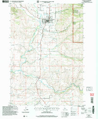 2004 Council2007 Print · USGSAdams County’s high valley comes into focus during the early 2000s, centered on the community of Council and its river-carved landscape. Researchers can trace the layout of local infrastructure from the Council Municipal Airport to the outlying settlements at Mesa and Mesa Siding.
 - 2004 Map of Brundage Mountain, 2007 Print
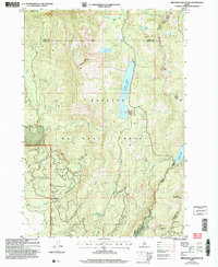 2004 Brundage Mountain2007 Print · USGSAdams and Valley counties meet at this high-elevation point in the Payette National Forest during the early 2000s. Researchers can trace alpine water routes and recreation sites from the Brundage Mtn Ski Area to Goose Lake and Granite Mtn.
 - 2004 Map of Rocky Comfort Flat, 2007 Print
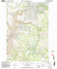 2004 Rocky Comfort Flat2007 Print · USGSThe Cuddy Mountains and the Payette National Forest define this Idaho backcountry at the turn of the millennium. Researchers can trace remote settlements like Warner, mountain landmarks like Bear Creek Falls, and several mining Prospects.
 - 2004 Map of New Meadows, 2007 Print
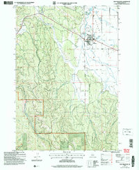 2004 New Meadows2007 Print · USGSMeadow Valley and the surrounding Idaho highlands are captured here in the early 2000s, showing the intersection of forest management and valley ranching. Researchers can trace the boundaries of the Payette National Forest and local landmarks like the Landing Strip and New Meadows townsite.
 - 2004 Map of Cuprum, 2007 Print
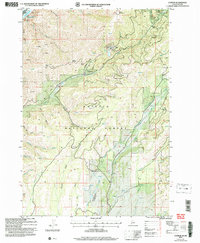 2004 Cuprum2007 Print · USGSThe high forest lands above the Snake River come into focus in this early 2000s study of Adams County. Researchers can locate the mining history of the Copper Cliff Mine, the settlement at Cuprum, and the remote Seven Devils Ranch Landing Strip.
 - 2004 Map of Railroad Saddle, 2007 Print
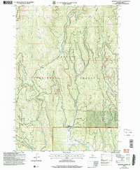 2004 Railroad Saddle2007 Print · USGSThe Idaho backcountry within the Payette National Forest is revealed here at the start of the new millennium. Researchers can trace historic water routes like the Vantis Ditch and find the specific location of the Gaging Sta on the Price Valley Weiser River.
 - 2004 Map of Cuddy Mountain, 2007 Print
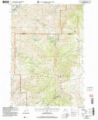 2004 Cuddy Mountain2007 Print · USGSThe high Idaho backcountry of the Payette National Forest is captured here in the early 2000s, where the Adams and Washington county lines meet. Researchers can trace historical mining efforts through numerous labeled prospects, Adits, and high-country landmarks like Rush Peak and Lost Basin.
 - 2004 Map of Oxbow, 2007 Print
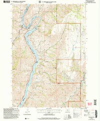 2004 Oxbow2007 Print · USGSThe Oregon-Idaho border at the Snake River is captured here in the early 2000s, centered on the heavy hydroelectric operations at The Oxbow. Researchers can trace the industrial layout of the Oxbow Dam and Powerplant alongside local landmarks like the Fish Hatchery and Landing Strip.
 - 2004 Map of Butterfield Gulch, 2007 Print
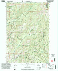 2004 Butterfield Gulch2007 Print · USGSAdams County backcountry at the turn of the millennium was a landscape defined by forest management and old mining claims. Genealogists and historians can locate specific landmarks like the Barrinaga Corrals (Site) and relic workings at Placer Basin.
 - 2004 Map of Meadows, 2007 Print
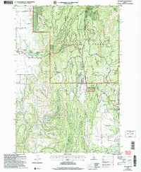 2004 Meadows2007 Print · USGSMeadows and McCall were reaching a modern equilibrium in the early 2000s as recreation and ranching shaped this Idaho landscape. Researchers can locate the Meadows Valley Cem, the site of Lardo, and the historic Packer Johns Cabin State Park.
 - 2004 Map of King Hill Creek, 2007 Print
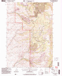 2004 King Hill Creek2007 Print · USGSAdams County’s high country is captured here just after the turn of the millennium, showing a landscape defined by the drainage of the Little Weiser River. Researchers can trace old mountain routes like the Grouse Creek Trail or locate family landmarks like Potato Knob and King Hill.
 - 2004 Map of Cold Spring Summit, 2007 Print
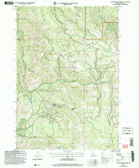 2004 Cold Spring Summit2007 Print · USGSThe Adams County backcountry is shown here in the early 2000s, centered on the high ridges of the Payette National Forest. Researchers can locate historic forest landmarks and water sources like the Deseret Cabin, Cold Spring Summit, and Blue Bunch Spring.
 - 2004 Map of Crooked River Point, 2007 Print
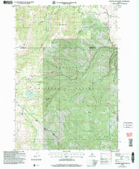 2004 Crooked River Point2007 Print · USGSThe high ridges of the Cuddy Mountains appear here in the early 2000s, showing a landscape defined by timber, water, and mining. Genealogists and historians can trace legacy mining sites including several Mine Shafts, an Adit, and the Hornet Interpretive Site.
 - 2004 Map of Bally Mountain, 2007 Print
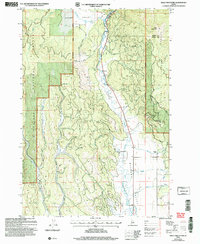 2004 Bally Mountain2007 Print · USGSThe Salmon River mountains of central Idaho meet the agricultural basins of the New Meadows area during the early 2000s. Researchers can trace land use through the Circle C Ranch, irrigation via the Campbell Ditch, and the geothermal Hot Springs.
 - 2004 Map of Twin Sisters, 2007 Print
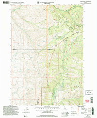 2004 Twin Sisters2007 Print · USGSThe high timber and headwaters of the central Idaho mountains are mapped here just after the turn of the millennium. Researchers can trace the county lines and forest boundaries between Twin Sisters, the Middle Fork Weiser River, and Lava Ridge.
 - 2004 Map of Purgatory Saddle, 2007 Print
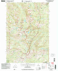 2004 Purgatory Saddle2007 Print · USGSThe Seven Devils Mountains of Idaho are captured in the early 2000s, showing a protected wilderness of high peaks and alpine lakes. Researchers can locate remote mining sites like Iron Springs, the Smith Mountain Lookout, and trails through Hells Canyon.
 - 2004 Map of Council Mountain, 2007 Print
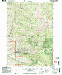 2004 Council Mountain2007 Print · USGSThe high basins and ridges of Adams County are captured in this early 21st-century survey of the Payette National Forest. Researchers can trace old drainage routes through Log Cabin Gulch and Tamarack Gulch or locate the historic Council Lookout.
 - 2004 Map of Granite Lake, 2007 Print
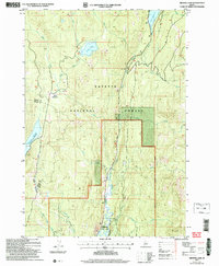 2004 Granite Lake2007 Print · USGSValley and Adams County, Idaho, are shown at the turn of the millennium as a haven of national forest lands and high-mountain reservoirs. Researchers can trace historic access routes like Warren Wagon Road and locate specific sites like Sater Meadows and Ponderosa State Park.
 - 2004 Map of McCall, 2007 Print
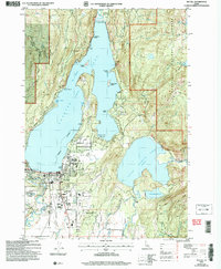 2004 McCall2007 Print · USGSMcCall sits at the gateway to the Idaho backcountry in this early 2000s survey, where the town meets the shores of Payette Lake. Researchers can trace the development of the McCall Airport or locate local landmarks like the Cem and Ponderosa State Park.
 - 2004 Map of No Business Mountain, 2007 Print
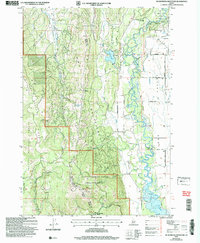 2004 No Business Mountain2007 Print · USGSValley and Adams Counties are captured here in the early 2000s, showing the high ridge lines above the Payette River valley. Trace historical sites like the Old Fort (Ruins) or the No Business Lookout Tower and explore the irrigation network near Hatz Reservoir.
 - 2004 Map of Tripod Peak, 2007 Print
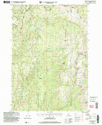 2004 Tripod Peak2007 Print · USGSThe Boise Mountains at the start of the millennium offer a detailed look at the high-country divide between Gem and Valley counties. Researchers can trace remote alpine landmarks like Gabes Bathtub, the lookout at Tripod Peak, and the waters of Blue Lake.
 - 2004 Map of Weasel Gulch, 2007 Print
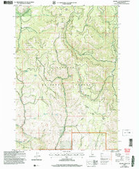 2004 Weasel Gulch2007 Print · USGSThe Payette National Forest is shown here at the turn of the millennium, revealing the intricate water and road networks of the New Meadows area. Researchers can trace remote forest routes like Robison Ridge Road and find landmarks like Chipmunk Spring or the Heiser River.
 - 2004 Map of Fruitvale, 2007 Print
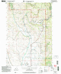 2004 Fruitvale2007 Print · USGSThe Weiser River valley in the early 2000s remains a vital corridor for Adams County settlements and aviation. Genealogists and local historians can trace the foundations of Fruitvale, Starkey, and Glendale, or locate the Cem near the Council Municipal Airport.
 - 2004 Map of Pollock Mountain, 2007 Print
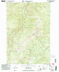 2004 Pollock Mountain2007 Print · USGSThe Payette National Forest backcountry is detailed here just after the turn of the millennium, showing a landscape of high peaks and isolated camps. Researchers can trace historical activity at the Black Leopard Discovery Mine, Paradise Cabin, and the Pollock Lookout.
 - 2004 Map of Homestead, 2007 Print
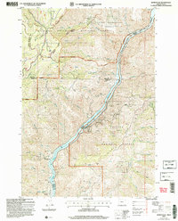 2004 Homestead2007 Print · USGSThe Snake River border between Oregon and Idaho is captured here in the early 2000s as a landscape of deep canyons and mining history. Researchers can locate the Homestead Cem, the Irondyke Mine, and the McGraw Creek Cabin among the steep draws.2 unique versions available
Showing maps 1-25 of 30
Top cities of Adams County
Frequently asked questions
- What are the different types of historical maps available for Adams County?
- What is the oldest map of Adams County?
- Where can I purchase historical maps of Adams County for my home or office?
- Where can I download high-res historical maps of Adams County?
- Are there historical topographic maps available for Adams County?
- Is there historical aerial imagery available for Adams County?
- Where are historical maps of Adams County sourced from?