2020s Maps of Adams County, Idaho
Explore 88 historic maps of Adams County from the 2020s. These maps offer a rare glimpse into what life looked like during the 2020s — showing old roads, neighborhoods, homes, and landmarks that have changed or disappeared over time.
Whether you're researching your family's past, planning a metal detecting trip, or studying how Adams County's landscape evolved across the 2020s, these high-resolution maps are a powerful tool for exploring the history of this region.
- Focus on a specific era: All maps on this page are from the 2020s, giving you a focused view of this time period.
- See what’s changed: Compare century-old streets, trails, and buildings to today's modern landscape using overlays and satellite layers.
- Research with precision: Use these maps for genealogy, historical research, land use analysis, or educational projects.
- View, download, or print: Maps are fully viewable online in high resolution, and can be downloaded or printed for your own records.
Start exploring Adams County's history through authentic maps from the 2020s. This is your window into the past.
Adams County, ID maps
(88)- 2020 Map of Oxbow, 2020 Print
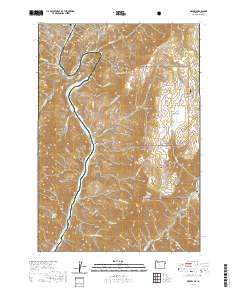 2020 Oxbow2020 Print · USGSThe Oregon-Idaho border at The Oxbow is captured here in recent years, showing the intersection of Baker County and Adams County. Researchers can trace the river canyon's roads to Oxbow or locate remote forest landmarks like Barber Flat and Sheep Peak.
 - 2020 Map of Brownlee Dam, 2020 Print
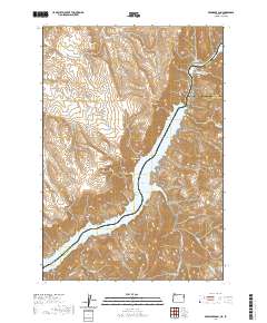 2020 Brownlee Dam2020 Print · USGSThe Oregon-Idaho border comes alive in this contemporary survey of the Snake River canyon. Researchers can trace the massive Brownlee Reservoir and identify local landmarks like Brownlee Dam, Officer Butte, and Ferry Canyon.
 - 2020 Map of Homestead, 2020 Print
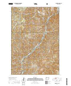 2020 Homestead2020 Print · USGSThe Snake River canyon at the Oregon-Idaho border comes into focus in this recent survey, showing the relationship between steep terrain and remote infrastructure. Family historians can locate the Homestead Cem and the settlement of Homestead along the banks of Hells Canyon Reservoir.
 - 2020 Map of Squirrel Prairie, 2020 Print
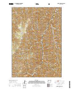 2020 Squirrel Prairie2020 Print · USGSThe Snake River canyon at the turn of the 20th century remains a place of intense topography and remote forest boundaries. Researchers can trace the river's historic landing sites like Warm Springs Bar, the mountain views from Lookout Mtn, and the high country at Squirrel Prairie.
 - 2020 Map of No Business Mountain, 2020 Print
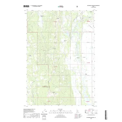 2020 No Business Mountain2020 Print · USGSThe high country west of McCall is captured in this modern survey of the Long Valley region. Researchers can trace land use and water management through features like Old Fort, the Hait Reservoir, and the winding North Fork Payette River.
 - 2020 Map of Goodrich, 2020 Print
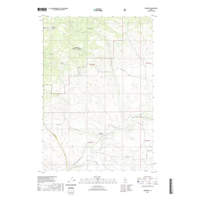 2020 Goodrich2020 Print · USGSWashington County, Idaho, is depicted in the modern era as a landscape of river valleys and national forest transitions. You can trace the path of the Weiser River National Recreation Trail and locate local landmarks like Goodrich or the secluded Ferguson Basin.
 - 2020 Map of Tamarack, 2020 Print
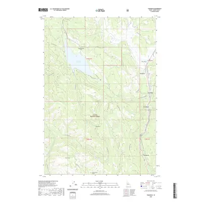 2020 Tamarack2020 Print · USGSAdams County at the dawn of the 2020s shows a landscape of forest reserves and valley settlements. Trace the path of the Weiser River National Recreation Trail past Tamarack, Woodland, and the shores of Lost Valley Reservoir.
 - 2020 Map of New Meadows, 2020 Print
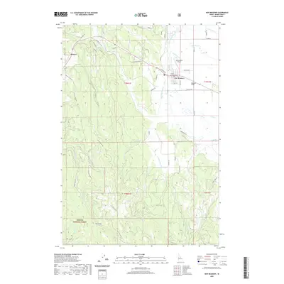 2020 New Meadows2020 Print · USGSNew Meadows and the surrounding timberlands are captured here in the early twenty-first century as the area balances its ranching heritage with modern forest management. Genealogists and local historians can trace family-named routes like Walker Ln and Ferrell Rd or locate landmarks such as the New Meadows Airport and Fire Gulch.
 - 2020 Map of Tripod Peak, 2020 Print
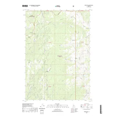 2020 Tripod Peak2020 Print · USGSThe high ridges of Gem and Valley Counties are surveyed here during the late twenty-teens, showing the intersection of two national forests. Trace high-altitude landmarks like the Tripod Lookout or historic sites including Wilson Corrals and Tamarack Flat.
 - 2020 Map of East of Cambridge, 2020 Print
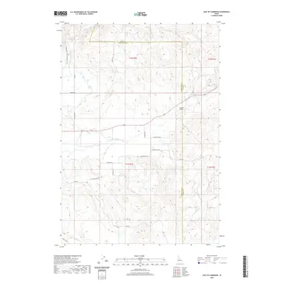 2020 East of Cambridge2020 Print · USGSThe rural agricultural landscapes of Washington County are shown here in the contemporary era, centered on the fertile Salubria Valley. Genealogists and historians can trace family land-use patterns along Gladhart Rd and the Weiser River National Recreation Trail.
 - 2020 Map of McCall, 2020 Print
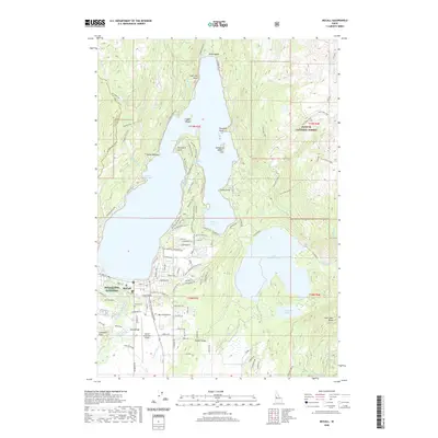 2020 McCall2020 Print · USGSMcCall and the surrounding lakes of Valley County are shown in this modern survey as the town continues to grow along the shores of Payette Lake. Researchers can locate McCall Cemetery, the McCall Fish Hatchery, and family-named landmarks like Shellworth Island.
 - 2020 Map of Hog Creek Butte, 2020 Print
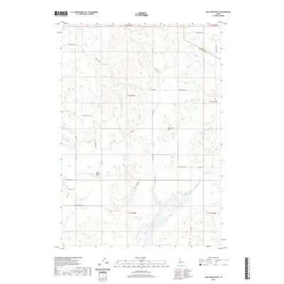 2020 Hog Creek Butte2020 Print · USGSWashington County, Idaho, is captured in this recent survey during a period of continued reliance on historic ranching and irrigation systems. Researchers can trace rural property access and water rights along North Crane Creek, Groner Reservoir, and Dutch Flat.
 - 2020 Map of Weasel Gulch, 2020 Print
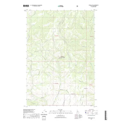 2020 Weasel Gulch2020 Print · USGSThe central mountains of Adams County are shown here in the 2020s, dominated by the Payette National Forest. Researchers can trace old mountain routes like Timber Gulch Rd and find isolated landmarks such as Weasel Spring and Robison Gulch.
 - 2020 Map of Indian Valley, 2020 Print
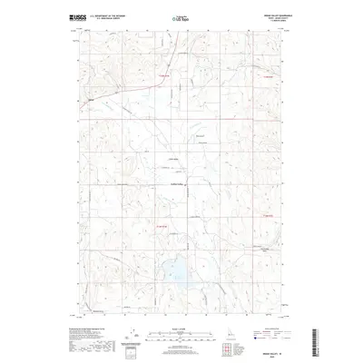 2020 Indian Valley2020 Print · USGSIndian Valley and the banks of the Little Weiser River are captured here in the contemporary era. Researchers can trace family-named landmarks and rural infrastructure along Cemetery Ln, Ben Ross Reservoir, and the settlement of Alpine.
 - 2020 Map of Twin Sisters, 2020 Print
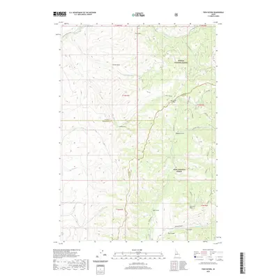 2020 Twin Sisters2020 Print · USGSGem County and the surrounding forest lands are documented here at a moment of modern preservation and resource management. Researchers can trace land divisions and mountain geography through landmarks like Twin Sisters, Mill Creek Summit, and Rammage Meadows.
 - 2020 Map of Crooked River Point, 2020 Print
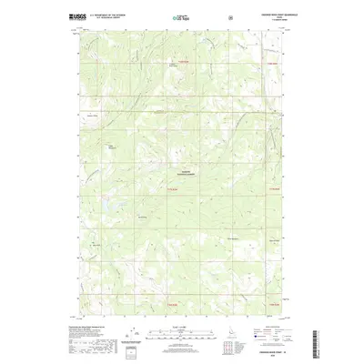 2020 Crooked River Point2020 Print · USGSThe high country of the Cuddy Mountains is captured here during the 2020s, showing a landscape of forest service roads and high-elevation water sources. Trace the geography of the Lower Hornet Reservoir, find the Devils Slide, or locate the site of Buck Park.
 - 2020 Map of Council Mountain, 2020 Print
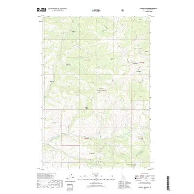 2020 Council Mountain2020 Print · USGSThe high basins and peaks of Idaho's back country are recorded here as they appeared in 2020. This landscape reveals remote landmarks like Deseret Cabin, geothermal Hot Springs, and the headwaters of the Middle Fork Weiser River.
 - 2020 Map of Meadows, 2020 Print
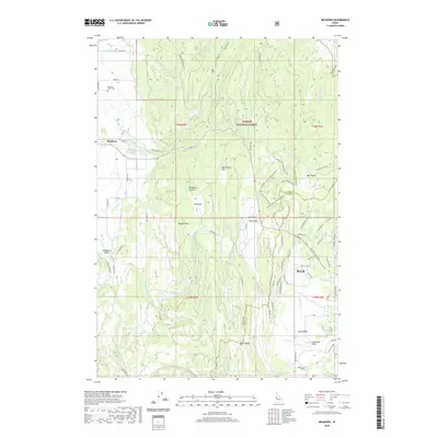 2020 Meadows2020 Print · USGSMeadows and McCall sit at the intersection of high valley agriculture and national forest lands during the early twenty-first century. Genealogists and local historians can trace family roots at Meadows Valley Cem or follow the historic water routes of Campbell Ditch and Goose Cr.
 - 2020 Map of Fruitvale, 2020 Print
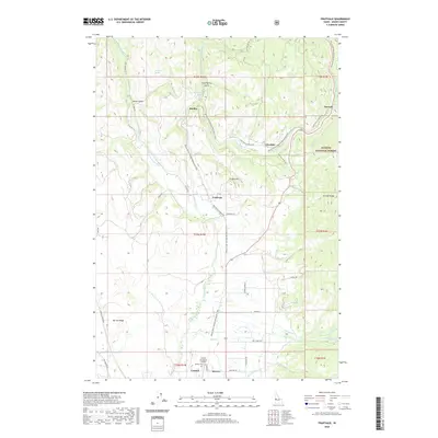 2020 Fruitvale2020 Print · USGSThe Weiser River valley in the early twenty-first century reveals a landscape of mountain settlements and irrigation works. Genealogists and local historians can locate the Winkler Cem or trace the reach of Yantis Ditch near Starkey Hot Springs and Fruitvale.
 - 2020 Map of Council, 2020 Print
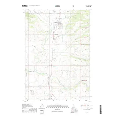 2020 Council2020 Print · USGSThe Weiser River valley in Idaho comes into sharp focus during this era of recreation and rural industry. Genealogists and historians can locate family burial sites at Kessler Cem or the Cottonwood Cem and trace the original paths of Old 95 Rd and the Weiser River National Recreation Trail.
 - 2020 Map of Rocky Comfort Flat, 2020 Print
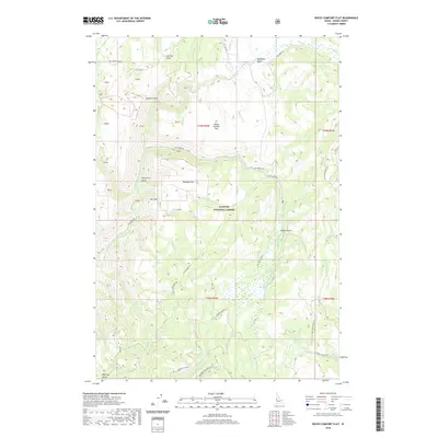 2020 Rocky Comfort Flat2020 Print · USGSAdams County’s high timberlands and river canyons are detailed here in the modern era as they appear within the Payette National Forest. Researchers can trace the drainages of Cows Horn Gulch and Coyote Gulch or locate landmarks like Clifton Spring.
 - 2020 Map of Granger Butte, 2020 Print
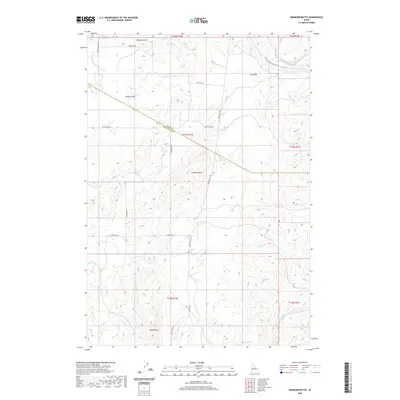 2020 Granger Butte2020 Print · USGSWashington and Adams counties meet at the high ridges of Idaho in this recent survey. Local historians can trace the paths of Monday Gulch Rd and Indian Valley Rd through landmarks like Granger Butte and the Groner Reservoir.
 - 2020 Map of Peck Mountain, 2020 Print
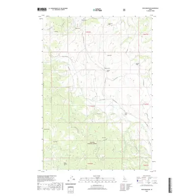 2020 Peck Mountain2020 Print · USGSThe high ridges of the Payette National Forest near the Adams County line are captured here in the early twenty-first century. Researchers can trace the winding paths of Council Cuprum Rd and Cemetery Ln, or locate landmarks like Peck Mtn and the Flying Y Ranch Airport.
 - 2020 Map of Railroad Saddle, 2020 Print
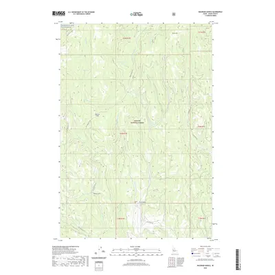 2020 Railroad Saddle2020 Print · USGSAdams County’s high timber country in the late 2010s is documented here, showing the headwaters of the Weiser River within the Payette National Forest. Researchers can locate Price Valley, trace the steep trails at Railroad Saddle, and find remote water sources like Miller Spring.
 - 2020 Map of He Devil, 2020 Print
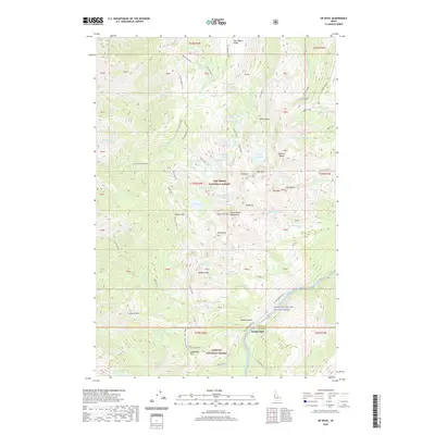 2020 He Devil2020 Print · USGSThe Seven Devils Wilderness in the 2020s reveals a landscape of dramatic peaks and alpine lakes at the intersection of two national forests. Trace the rugged terrain from He Devil and the Tower of Babel down to the historic site of Rankin Mill.
Showing maps 1-25 of 88
Top cities of Adams County
Frequently asked questions
- What are the different types of historical maps available for Adams County?
- What is the oldest map of Adams County?
- Where can I purchase historical maps of Adams County for my home or office?
- Where can I download high-res historical maps of Adams County?
- Are there historical topographic maps available for Adams County?
- Is there historical aerial imagery available for Adams County?
- Where are historical maps of Adams County sourced from?