2010s Maps of Adams County, Idaho
Explore 123 historic maps of Adams County from the 2010s. These maps offer a rare glimpse into what life looked like during the 2010s — showing old roads, neighborhoods, homes, and landmarks that have changed or disappeared over time.
Whether you're researching your family's past, planning a metal detecting trip, or studying how Adams County's landscape evolved across the 2010s, these high-resolution maps are a powerful tool for exploring the history of this region.
- Focus on a specific era: All maps on this page are from the 2010s, giving you a focused view of this time period.
- See what’s changed: Compare century-old streets, trails, and buildings to today's modern landscape using overlays and satellite layers.
- Research with precision: Use these maps for genealogy, historical research, land use analysis, or educational projects.
- View, download, or print: Maps are fully viewable online in high resolution, and can be downloaded or printed for your own records.
Start exploring Adams County's history through authentic maps from the 2010s. This is your window into the past.
Adams County, ID maps
(123)- 2010 Map of Hog Creek Butte, 2010 Print
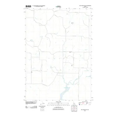 2010 Hog Creek Butte2010 Print · USGSWashington County at the start of the 2010s reveals a specialized landscape of high-desert water management and remote rural school districts. Researchers can pinpoint historic community sites like Cozy Corners School and trace the expansive shoreline of the Crane Creek Reservoir.
 - 2010 Map of East of Cambridge, 2010 Print
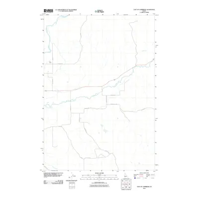 2010 East of Cambridge2010 Print · USGSEastern Washington County at the start of the 2010s was a quiet landscape of river valleys and rural school districts. Researchers can trace historic family connections through landmarks like the Cove School and local routes such as Monday Gulch Rd and Schlehuber Rd.
 - 2010 Map of Granger Butte, 2010 Print
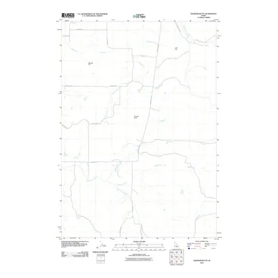 2010 Granger Butte2010 Print · USGSWashington County ranching and volcanic terrain are captured here at the start of the 2010s. Researchers can trace rural property access and water sources like Bill George Spring and the winding Little Weiser River.
 - 2010 Map of Indian Valley, 2010 Print
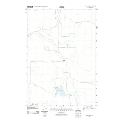 2010 Indian Valley2010 Print · USGSIndian Valley and the surrounding ranchlands are documented here just after the turn of the millennium. Researchers can locate family landmarks like the Indian Valley Cemetery, the Hillsdale School, and the waters of the Ben Ross Reservoir.
 - 2011 Map of Pollock, 2011 Print
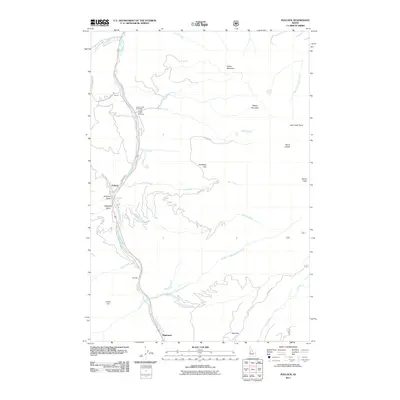 2011 Pollock2011 Print · USGSThe Little Salmon River corridor near Pollock and Pinehurst is shown in detail during the early twenty-first century. Researchers can trace remote settlements and geographic landmarks like Gotzinger, Dempsey Flat, and the steep ascent of Devils Ladder.
 - 2011 Map of Butterfield Gulch, 2011 Print
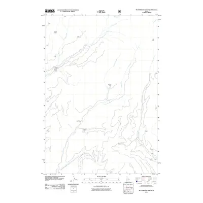 2011 Butterfield Gulch2011 Print · USGSAdams County’s high country is documented here in the early twenty-first century, showing a landscape of deep drainages and forest access routes. Researchers can locate remote landmarks like Lick Creek Lookout, the Barrinaga Corrals, and Placer Basin.
 - 2011 Map of Bally Mountain, 2011 Print
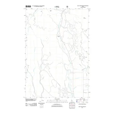 2011 Bally Mountain2011 Print · USGSIdaho County’s ranching and river landscape is documented here in the early twenty-first century as modern roads reach into the high country. Researchers can locate the Circle C Ranch, trace the Campbell Ditch, and find the local Hot Springs near the Little Salmon River.
 - 2011 Map of He Devil, 2011 Print
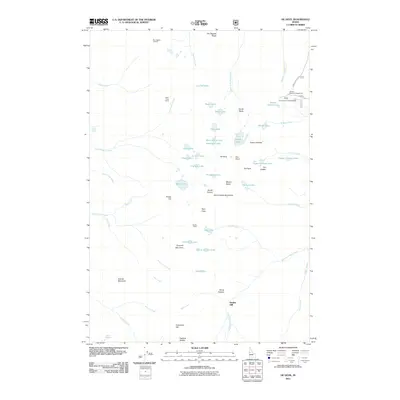 2011 He Devil2011 Print · USGSThe Seven Devils Mountains in the early twenty-first century reveal a high country defined by dramatic peaks and alpine lakes. Researchers can trace the proximity of historic sites like Hibbs Cow Camp and Rankin Mill to landmarks such as He Devil and Seven Devils Lake.
 - 2011 Map of Railroad Saddle, 2011 Print
 2011 Railroad Saddle2011 Print · USGSAdams County’s high country comes into focus in this early twenty-first-century survey of the river headwaters near Railroad Saddle. Outdoor enthusiasts and researchers can trace the old logging and access routes like Smokey Boulder Rd and Price Valley Rd.
 - 2011 Map of Indian Mountain, 2011 Print
 2011 Indian Mountain2011 Print · USGSThe Little Salmon River corridor in central Idaho is captured here in the early twenty-first century as a network of Forest Service roads and remote springs. Backcountry researchers can trace old routes like Hillman Basin Rd to local landmarks such as Tepee Springs and Bascom Canyon.
 - 2011 Map of Brundage Mountain, 2011 Print
 2011 Brundage Mountain2011 Print · USGSHigh-elevation Idaho County is documented here at the start of the 2010s, showcasing a landscape of alpine reservoirs and fire lookouts. Researchers can trace forest management and water routes via Granite Mountain Lookout, Grouse Campground, and Brundage Reservoir.
 - 2011 Map of Granite Lake, 2011 Print
 2011 Granite Lake2011 Print · USGSHigh-country water management and remote forest access define this part of Valley County during the early twenty-first century. Researchers can locate infrastructure like Granite Lake Dam and trace routes like Warren Wagon Rd near Sater Meadows.
 - 2011 Map of Pollock Mountain, 2011 Print
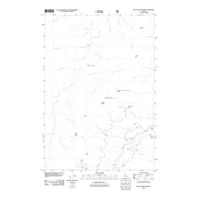 2011 Pollock Mountain2011 Print · USGSAdams County’s high country is documented here in the early twenty-first century, featuring a landscape of mining, ranching, and forest management. Trace the locations of the Black Leopard Discovery Mine, the Pollock Mountain Lookout, and local landmarks like Devils Ladder.
 - 2011 Map of Heavens Gate, 2011 Print
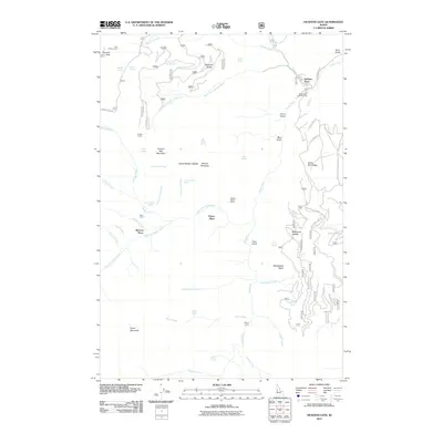 2011 Heavens Gate2011 Print · USGSIdaho County at the turn of the decade is shown here as a landscape of high ridges and isolated mountain homesteads. Genealogists and local historians can trace the locations of DeVeny Place, the Oregon Tipton Mine, and seasonal outposts like Saddle Camp.
 - 2011 Map of Purgatory Saddle, 2011 Print
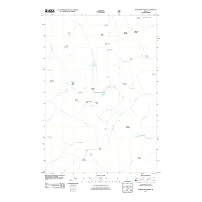 2011 Purgatory Saddle2011 Print · USGSAdams County’s high backcountry is shown here in the early twenty-first century, featuring a dense network of alpine lakes and mountain passes. Researchers and hikers can locate specific sites like Jackley Mountain Lookout, Black Lake Campground, and Purgatory Saddle.
 - 2011 Map of Council Mountain, 2011 Print
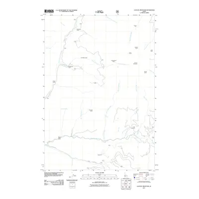 2011 Council Mountain2011 Print · USGSAdams County high country in the early twenty-first century remains defined by its mining heritage and rugged water systems. Researchers can trace historic activity through the Mica Mine, remote outposts like Deseret Cabin, and the site of Hot Springs.
 - 2011 Map of No Business Mountain, 2011 Print
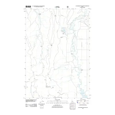 2011 No Business Mountain2011 Print · USGSThe high meadows and mountain ridges of Valley County are captured here in the early 2000s, showing a landscape defined by timber and water. Researchers can locate the historic Old Fort, trace the irrigation paths of the Lake Irrigation District Canal, and find family-named crossings like Hartsell Bridge.
 - 2011 Map of Weasel Gulch, 2011 Print
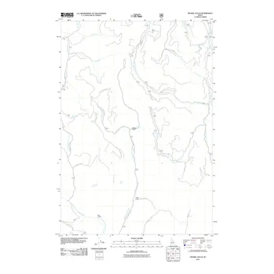 2011 Weasel Gulch2011 Print · USGSAdams County’s high forest terrain is documented here in the early twenty-first century, showing a landscape defined by its deep drainages and spring-fed creeks. Researchers can trace the paths of Summit Creek Rd and locate family-named landmarks like Harrington Spring and Dean Spring.
 - 2011 Map of King Hill Creek, 2011 Print
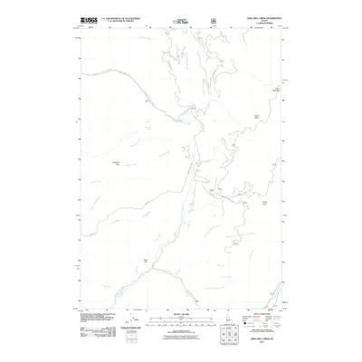 2011 King Hill Creek2011 Print · USGSAdams County’s high country is documented here in the early twenty-first century, showcasing the remote drainage systems of the Idaho backcountry. Genealogists and hikers can trace old routes like Ridge Rd and find landmarks such as King Hill and Telephone Spring.
 - 2011 Map of Peck Mountain, 2011 Print
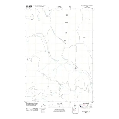 2011 Peck Mountain2011 Print · USGSWashington County at the start of the 2010s reveals a high-country landscape defined by deep gulches and rural cattle ranching operations. Researchers can trace local landmarks like the Upper Dale School, the Flying Y Ranch Airport, and the winding Council Cuprum Rd.
 - 2011 Map of Rocky Comfort Flat, 2011 Print
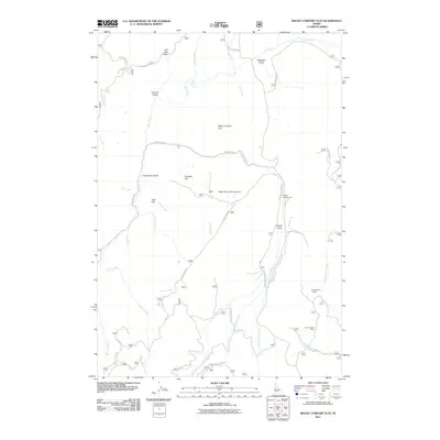 2011 Rocky Comfort Flat2011 Print · USGSAdams County high country in 2011 reveals a landscape of remote ranching and mining. Researchers can trace resource history at North Hornet Mine and locate backcountry landmarks like Cottonwood Corrals and the Happy Hollow Ranch Airport.
 - 2011 Map of Lone Tree, 2011 Print
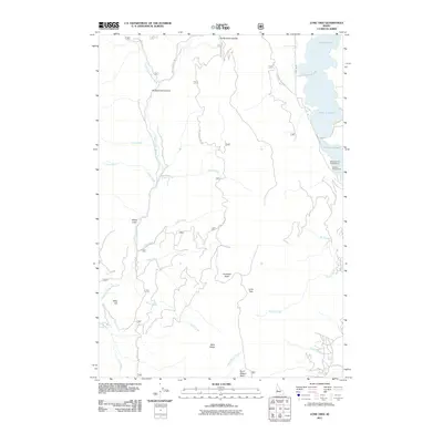 2011 Lone Tree2011 Print · USGSValley County in the early twenty-first century shows a landscape of mountain recreation and forest management. Researchers can trace the shoreline of Lake Cascade and identify locations like White Licks, Lone Tree, and the Rainbow Point Campground.
 - 2011 Map of Council, 2011 Print
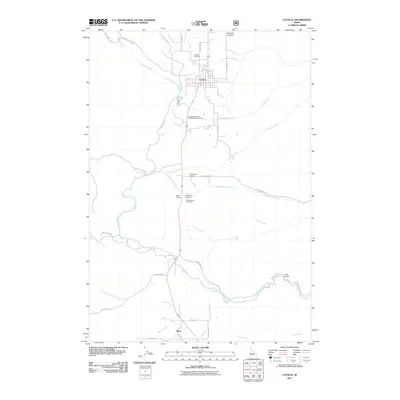 2011 Council2011 Print · USGSNear the headwaters of the Weiser River in the early twenty-first century, this Idaho landscape reveals a network of rural settlements and mountain-valley homesteads. Researchers can locate the Independent Order of Oddfellows Cemetery and trace the Mesa Siding rail link between Council and Mesa.
 - 2011 Map of Cold Spring Ridge, 2011 Print
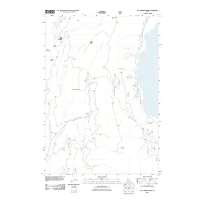 2011 Cold Spring Ridge2011 Print · USGSUpper Gem County and the surrounding Idaho highlands are depicted here in the early twenty-first century. Outdoor enthusiasts and local historians can trace legacy routes like W Mountain Rd or locate remote landmarks such as Beer Bottle Crossing and Mica Saddle.
 - 2011 Map of Cold Spring Summit, 2011 Print
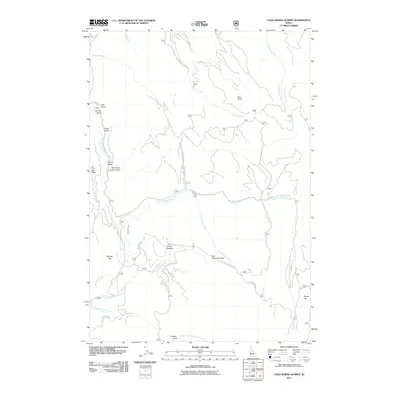 2011 Cold Spring Summit2011 Print · USGSAdams County’s high timber country and drainage divides are captured here in the early twenty-first century. Researchers can trace the legacy of mountain travel and water management via Old Cascade Rd, East Fork Ditch, and Cold Spring Summit.
Showing maps 1-25 of 123
Top cities of Adams County
Frequently asked questions
- What are the different types of historical maps available for Adams County?
- What is the oldest map of Adams County?
- Where can I purchase historical maps of Adams County for my home or office?
- Where can I download high-res historical maps of Adams County?
- Are there historical topographic maps available for Adams County?
- Is there historical aerial imagery available for Adams County?
- Where are historical maps of Adams County sourced from?