2000s (21st Century) Maps of Bear Lake County, Idaho
Explore 144 historic maps of Bear Lake County from the 2000s (21st Century). These maps offer a rare glimpse into what life looked like during the 2000s — showing old roads, neighborhoods, homes, and landmarks that have changed or disappeared over time.
Whether you're researching your family's past, planning a metal detecting trip, or studying how Bear Lake County's landscape evolved across the 2000s, these high-resolution maps are a powerful tool for exploring the history of this region.
- Focus on a specific era: All maps on this page are from the 2000s, giving you a focused view of this time period.
- See what’s changed: Compare century-old streets, trails, and buildings to today's modern landscape using overlays and satellite layers.
- Research with precision: Use these maps for genealogy, historical research, land use analysis, or educational projects.
- View, download, or print: Maps are fully viewable online in high resolution, and can be downloaded or printed for your own records.
Start exploring Bear Lake County's history through authentic maps from the 2000s. This is your window into the past.
Bear Lake County, ID maps
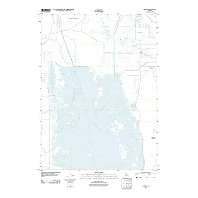
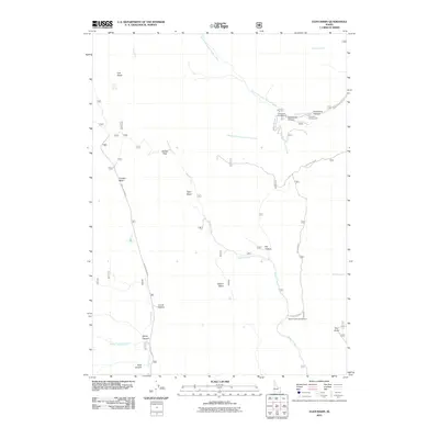
(144)- 2005 Map of Saint Charles, 2007 Print
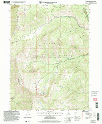
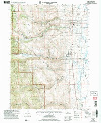
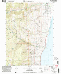 2005 Saint Charles2007 Print · USGSAlong the Idaho-Utah border in the early 2000s, the western shore of Bear Lake remained a mix of forest management and lakeside settlement. Genealogists and researchers can trace local landmarks like Blackstone Mine, the historic St Charles townsite, and rural sites such as Swan Flat.
 - 2005 Map of Egan Basin, 2007 Print
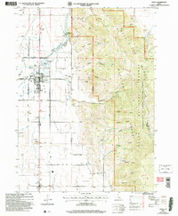
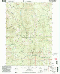
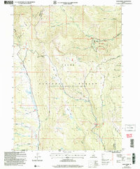 2005 Egan Basin2007 Print · USGSThe Idaho-Utah borderlands within the Bear Lake Range appear here during the mid-2000s, showing a high-country landscape of forest and limestone basins. Hikers and historians can trace the High Line Trail, locate the Minnetonka Cave, and follow the historical Old Logan Road through the high passes.
 - 2005 Map of Soda Peak, 2007 Print
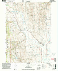
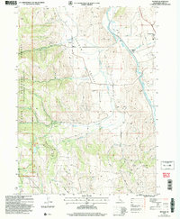
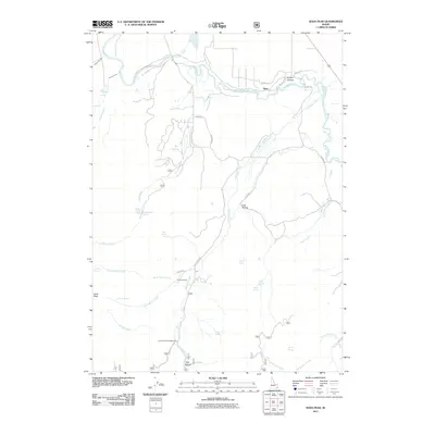
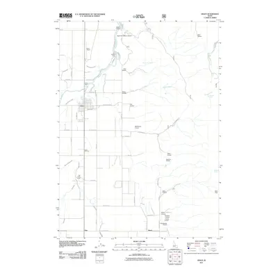
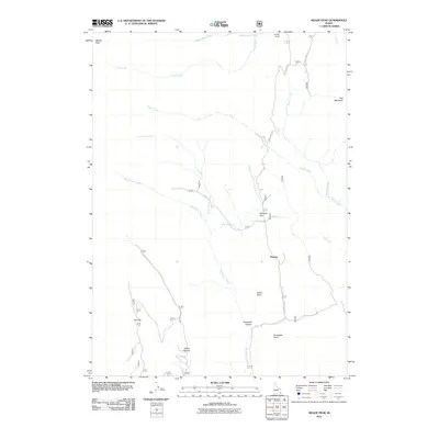
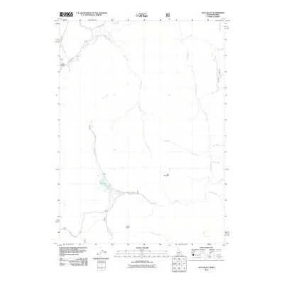
 2005 Soda Peak2007 Print · USGSBear Lake County at the start of the millennium shows a landscape defined by the winding Bear River and the forested slopes of the Bear River Range. Genealogists and local historians can locate the Eightmile Sch, Eightmile Cem, and the quiet community of Manson.
 - 2005 Map of Ovid, 2007 Print
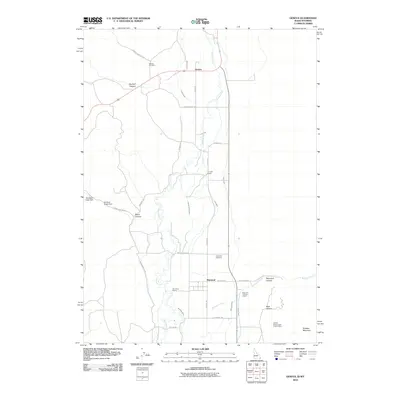
 2005 Ovid2007 Print · USGSThe Bear Lake Valley at the start of the 2000s shows a landscape of enduring rural settlements and mountain drainage. Researchers can trace family history through the Ovid Cem and Liberty Cem or follow old routes like Lanark Road.
 - 2005 Map of Paris Peak, 2007 Print
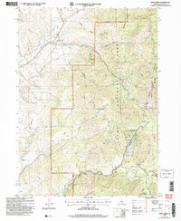
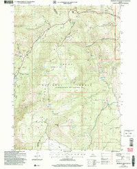
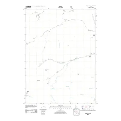
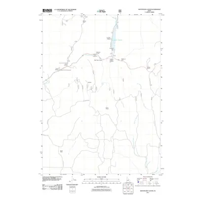
 2005 Paris Peak2007 Print · USGSThe high country of the Bear Lake Range in the mid-2000s is shown here in detail, spanning the mountain crest between Franklin and Bear Lake counties. Researchers can trace historic mountain routes like German Dugway and locate the well-known Paris Ice Cave or Bloomington Lake.
 - 2005 Map of Grace, 2007 Print
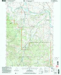
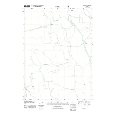
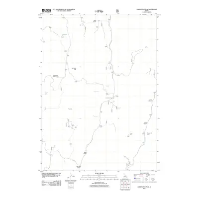
 2005 Grace2007 Print · USGSGem Valley at the start of the twenty-first century reveals a landscape defined by Bear River irrigation and mountain foothills. Trace family roots at Grace Cemetery or locate landmarks like the Ice Cave, Grace Dam, and Niter.
 - 2005 Map of Nounan, 2007 Print
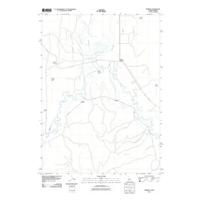
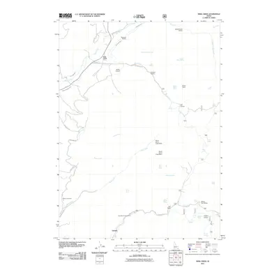
 2005 Nounan2007 Print · USGSThe Nounan and Bear Lake valleys in the mid-2000s offer a detailed record of the river-and-rail economy along the Bear River. Researchers can locate family sites at Skinner Cem, explore the layout of Nounan, or trace rail history at Georgetown (Siding).
 - 2005 Map of Mink Creek, 2007 Print
 2005 Mink Creek2007 Print · USGSFranklin County, Idaho, is mapped here in the mid-2000s, showing a landscape defined by the Cache National Forest and the Bear River. Researchers can locate the Mink Creek settlement and Cem, the Station Creek Tunnel, and the Organizational Site (BSA).
 - 2005 Map of Paris, 2007 Print
 2005 Paris2007 Print · USGSThe Bear Lake Valley at the turn of the millennium shows a landscape of mountain canyons meeting high-desert settlements. Researchers can trace local landmarks like the Bear Lake HS, the Rodeo Grounds, and remote sites including the Boulder Mine or Paris Spring.
 - 2005 Map of North Canyon, 2007 Print
 2005 North Canyon2007 Print · USGSThe high ridges of the Bear River Range are documented here in the early 2000s as they span the borders of Bear Lake and Caribou counties. Researchers can trace historic mountain routes like the Highline Trail and locate remote water sources such as Lea Lake and Humberg Spring.
 - 2005 Map of Midnight Mountain, 2007 Print
 2005 Midnight Mountain2007 Print · USGSThe Bear River Range in the mid-2000s remains a high-country landscape of national forest basins and remote mountain springs. Trace the paths through Copenhagen Basin, locate the RD&G Camp, or follow the Highline Trail near Midnight Mtn.
 - 2010 Map of Pegram, 2010 Print
 2010 Pegram2010 Print · USGSCovers Bear Lake County, including United States, Idaho, and other nearby areas
 - 2010 Map of Dingle, 2010 Print
 2010 Dingle2010 Print · USGSCovers Bear Lake County, including Dingle, United States, and other nearby areas
 - 2010 Map of Border, 2010 Print
 2010 Border2010 Print · USGSCovers Bear Lake County, including Border Junction, Lincoln County, and other nearby areas
 - 2010 Map of Geneva, 2010 Print
 2010 Geneva2010 Print · USGSCovers Bear Lake County, including Lincoln County, United States, and other nearby areas
 - 2011 Map of Soda Peak, 2011 Print
 2011 Soda Peak2011 Print · USGSCovers Bear Lake County, including Caribou County, United States, and other nearby areas
 - 2011 Map of Grace, 2011 Print
 2011 Grace2011 Print · USGSCovers Bear Lake County, including Grace, Caribou County, and other nearby areas
 - 2011 Map of Nounan, 2011 Print
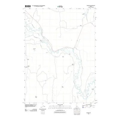
 2011 Nounan2011 Print · USGSCovers Bear Lake County, including Georgetown, United States, and other nearby areas
 - 2011 Map of Meade Peak, 2011 Print
 2011 Meade Peak2011 Print · USGSCovers Bear Lake County, including Caribou County, United States, and other nearby areas
 - 2011 Map of Paris Peak, 2011 Print
 2011 Paris Peak2011 Print · USGSCovers Bear Lake County, including Franklin County, United States, and other nearby areas
 - 2011 Map of Montpelier Canyon, 2011 Print
 2011 Montpelier Canyon2011 Print · USGSCovers Bear Lake County, including United States, Idaho, and other nearby areas
 - 2011 Map of Egan Basin, 2011 Print
 2011 Egan Basin2011 Print · USGSCovers Bear Lake County, including Franklin County, United States, and other nearby areas
 - 2011 Map of Harrington Peak, 2011 Print
 2011 Harrington Peak2011 Print · USGSCovers Bear Lake County, including Caribou County, United States, and other nearby areas
 - 2011 Map of Mink Creek, 2011 Print
 2011 Mink Creek2011 Print · USGSCovers Bear Lake County, including Mink Creek, Franklin County, and other nearby areas
 - 2011 Map of Elk Valley, 2011 Print
 2011 Elk Valley2011 Print · USGSCovers Bear Lake County, including Lincoln County, Caribou County, and other nearby areas
Showing maps 1-25 of 144
Top cities of Bear Lake County
- Montpelier historical maps
- Paris historical maps
- Georgetown historical maps
- Bloomington historical maps
Frequently asked questions
- What are the different types of historical maps available for Bear Lake County?
- What is the oldest map of Bear Lake County?
- Where can I purchase historical maps of Bear Lake County for my home or office?
- Where can I download high-res historical maps of Bear Lake County?
- Are there historical topographic maps available for Bear Lake County?
- Is there historical aerial imagery available for Bear Lake County?
- Where are historical maps of Bear Lake County sourced from?