2010s Maps of Bear Lake County, Idaho
Explore 87 historic maps of Bear Lake County from the 2010s. These maps offer a rare glimpse into what life looked like during the 2010s — showing old roads, neighborhoods, homes, and landmarks that have changed or disappeared over time.
Whether you're researching your family's past, planning a metal detecting trip, or studying how Bear Lake County's landscape evolved across the 2010s, these high-resolution maps are a powerful tool for exploring the history of this region.
- Focus on a specific era: All maps on this page are from the 2010s, giving you a focused view of this time period.
- See what’s changed: Compare century-old streets, trails, and buildings to today's modern landscape using overlays and satellite layers.
- Research with precision: Use these maps for genealogy, historical research, land use analysis, or educational projects.
- View, download, or print: Maps are fully viewable online in high resolution, and can be downloaded or printed for your own records.
Start exploring Bear Lake County's history through authentic maps from the 2010s. This is your window into the past.
Bear Lake County, ID maps
(87)- 2010 Map of Pegram, 2010 Print
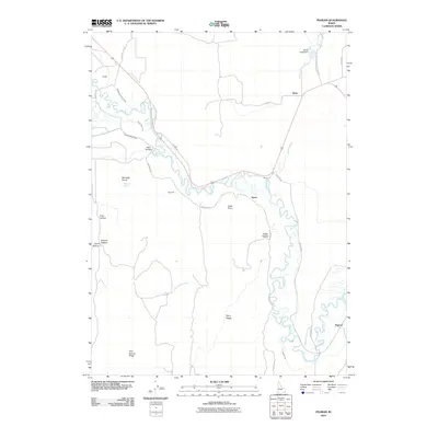 2010 Pegram2010 Print · USGSSoutheast Idaho's Bear River valley is captured here in 2010, showing the interconnected irrigation and transport networks of Bear Lake County. Genealogists and historians can trace family-named landmarks like Bennetts Spring and the rural settlements of Dingle and Pegram.
 - 2010 Map of Dingle, 2010 Print
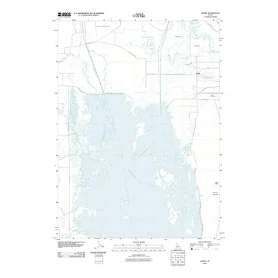 2010 Dingle2010 Print · USGSThe Bear Lake Valley at the start of the 21st century reveals a landscape shaped by water and agriculture. Genealogists and historians can trace local landmarks like Dingle Cemetery and the Bear Lake County Airport alongside irrigation works like Peg Leg Ditch.
 - 2010 Map of Border, 2010 Print
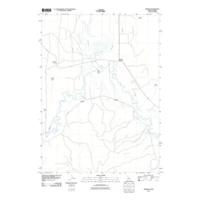 2010 Border2010 Print · USGSThe Idaho-Wyoming state line in 2010 is shown here at the meeting of the Bear River and Thomas Fork. Genealogists and local researchers can trace old ranching routes and water systems near Border Junction, Chausse, and the Thomas Fork Valley.
 - 2010 Map of Geneva, 2010 Print
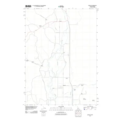 2010 Geneva2010 Print · USGSThe high-desert ranching country of the Idaho-Wyoming border is captured here at the start of the twenty-first century. Researchers can trace family ranch lands like G H Hall Ranch or locate burials at Geneva Cemetery and Raymond Cemetery.
 - 2011 Map of Soda Peak, 2011 Print
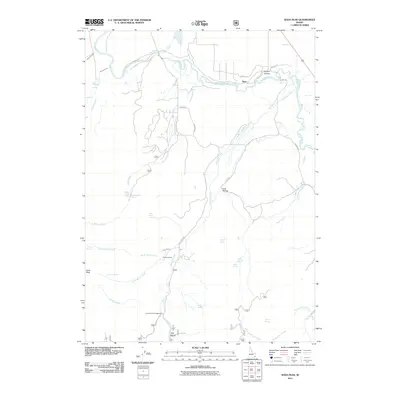 2011 Soda Peak2011 Print · USGSCaribou County in the early twenty-first century reveals a landscape of high-country drainages and remote forest outposts. Researchers can trace the paths of Eightmile Creek and Bailey Creek toward landmarks like Soda Peak, Camp Ho-Nok, and the Rose area.
 - 2011 Map of Grace, 2011 Print
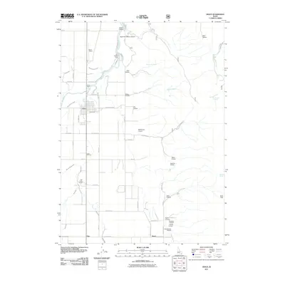 2011 Grace2011 Print · USGSThe Bear River valley in Caribou County is shown here in the early 21st century as a complex landscape of dams and irrigation canals. Researchers can trace local water works like the Last Chance Dam, find family history at Grace Cemetery, or locate rural landmarks like Ice Cave Knoll.
 - 2011 Map of Nounan, 2011 Print
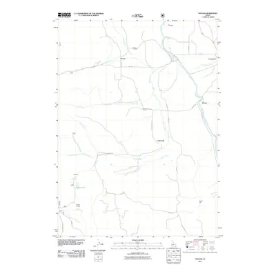 2011 Nounan2011 Print · USGSThe rural valleys of Bear Lake County are captured in this early 2010s survey, showing the interconnected water systems and remote settlements. Researchers can locate family landmarks like the Skinner Cemetery and trace the old routes of Creamery Ln and Nounan Rd.
 - 2011 Map of Meade Peak, 2011 Print
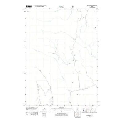 2011 Meade Peak2011 Print · USGSEastern Idaho's high forest country is captured here during the early twenty-first century, showing the intersection of mountain peaks and remote outposts. Researchers can locate named sites like Whiskey Flat, Giveout, and the high summit of Meade Peak.
 - 2011 Map of Giraffe Creek, 2011 Print
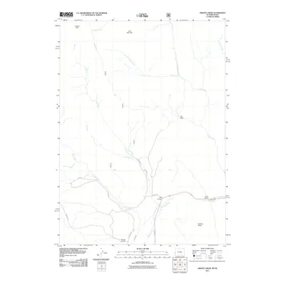 2011 Giraffe Creek2011 Print · USGSLincoln County, Wyoming, is shown here during the early twenty-first century, mapping the high country where Idaho meets the Wyoming range. Researchers can trace land use and water routes through Taylor Canal, Shale Hollow, and the remote heights of Table Mountain.
 - 2011 Map of Paris Peak, 2011 Print
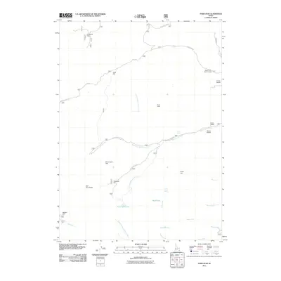 2011 Paris Peak2011 Print · USGSThe high ridges of the Bear River Range in Idaho are captured here during the early twenty-first century. Outdoorsmen and local historians can trace the paths of German Dugway Rd and locate landmarks like Bloomington Lake and Paris Peak.
 - 2011 Map of Montpelier Canyon, 2011 Print
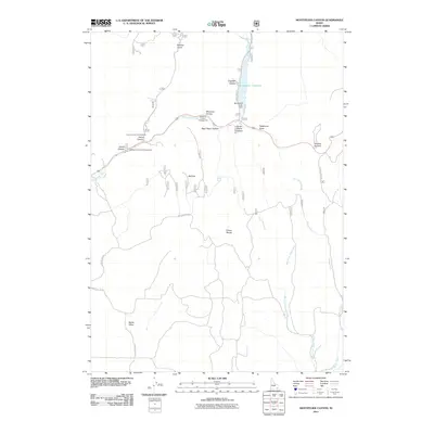 2011 Montpelier Canyon2011 Print · USGSSoutheast Idaho’s high country near the Wyoming border is captured here during the early twenty-first century. Researchers can trace forest access routes and water infrastructure around the Montpelier Reservoir, Geneva Summit, and the Preuss Range.
 - 2011 Map of Egan Basin, 2011 Print
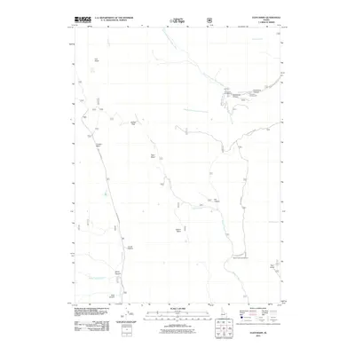 2011 Egan Basin2011 Print · USGSHigh in Franklin County during the early 21st century, this landscape is defined by its series of high-altitude basins and canyon drainages. Researchers can trace historical routes like Old Logan Rd and locate landmarks such as Danish Pass and Red Sinks.
 - 2011 Map of Harrington Peak, 2011 Print
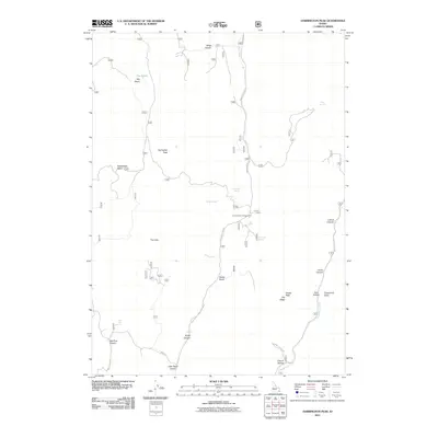 2011 Harrington Peak2011 Print · USGSCaribou County high country is documented in detail here during the early twenty-first century, showing a landscape of named springs and mountain peaks. Researchers can locate remote landmarks like The Hole, Hawks Roost, and the Summit View Campground.
 - 2011 Map of Mink Creek, 2011 Print
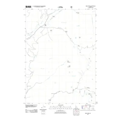 2011 Mink Creek2011 Print · USGSFranklin County's high-mountain irrigation and settlement patterns are documented here in the early twenty-first century. Researchers can trace historic water management through the Mink Creek Canal and find local landmarks like Schoolhouse Hollow and Glendale.
 - 2011 Map of Elk Valley, 2011 Print
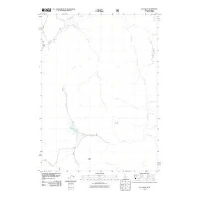 2011 Elk Valley2011 Print · USGSLincoln County at the turn of the decade is shown as a preserved mountain landscape defined by complex water systems and Forest Service access. Researchers can trace historic landmarks like The Pinnacle and follow the paths of Rock Creek or Little Elk Creek.
 - 2011 Map of North Canyon, 2011 Print
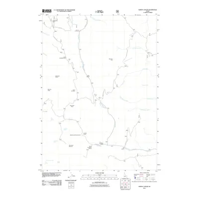 2011 North Canyon2011 Print · USGSFranklin County's high-country basins and forest drainages are captured here in the early twenty-first century. Researchers can locate remote water sources and landmarks like Tie Camp Spring, Eightmile Campground, and Moonlight Meadow.
 - 2011 Map of Georgetown, 2011 Print
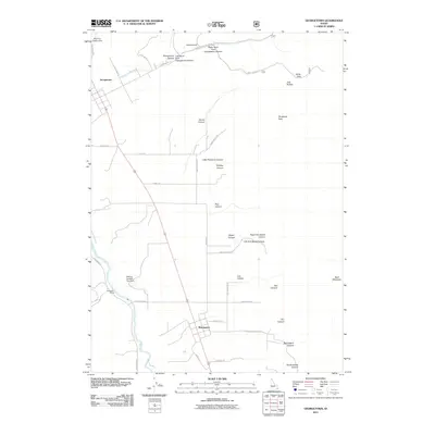 2011 Georgetown2011 Print · USGSSoutheast Idaho at the start of the 2010s shows a landscape of mountain-fed settlements and river valley agriculture. Genealogists and local historians can trace the roads and waterways connecting Georgetown, Bennington, and the Pescadero Siding along the Bear River.
 - 2011 Map of Snowdrift Mountain, 2011 Print
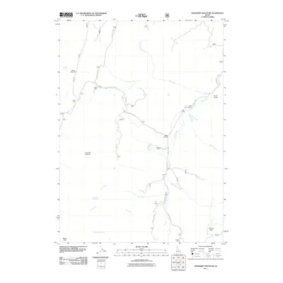 2011 Snowdrift Mountain2011 Print · USGSIn the high backcountry of eastern Idaho during the early twenty-first century, ranching outposts and forest trails dominate the landscape. Researchers can trace historical routes to sites like Allemans Ranch, Trapper Cabin, and the local Halfway House.
 - 2011 Map of Midnight Mountain, 2011 Print
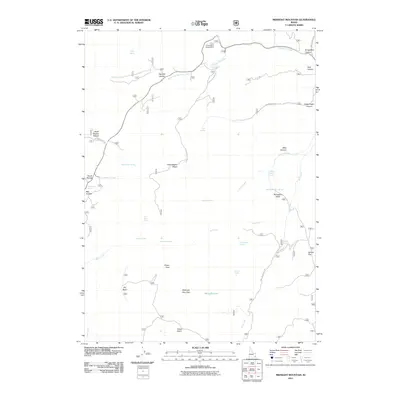 2011 Midnight Mountain2011 Print · USGSFranklin County's high country is documented in the early twenty-first century, showcasing a landscape defined by mountain passes and remote water sources. Researchers can trace historic paths and landmarks like Relief Society Hollow, Emigration Canyon, and the secluded Midnight Lake.
 - 2011 Map of Montpelier, 2011 Print
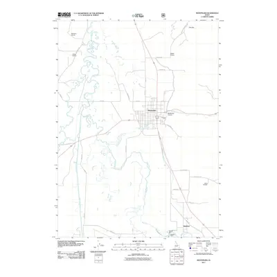 2011 Montpelier2011 Print · USGSBear Lake County at the start of the 21st century reveals a landscape of river management and valley settlement. Genealogists and historians can trace the irrigation network near Wardboro, including Stewart Dam and the Kem LaRocco Canal.
 - 2011 Map of Ovid, 2011 Print
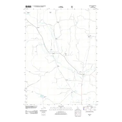 2011 Ovid2011 Print · USGSBear Lake County's high valley settlements are documented here in the early twenty-first century. Researchers can trace local lineage and land use through Liberty Cemetery, the Hammond Dam, and the small communities of Lanark and Sharon.
 - 2011 Map of Paris, 2011 Print
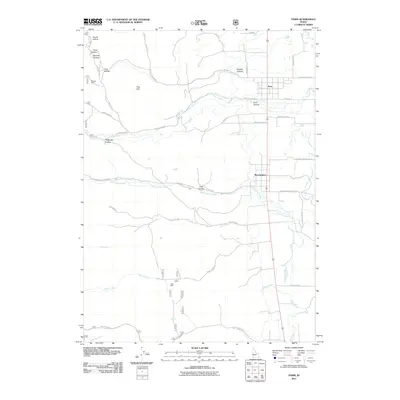 2011 Paris2011 Print · USGSThe foothills of the Bear River Range meet the valley floor in the early 2010s, showing a landscape defined by deep canyons and high springs. Researchers can trace historical resource sites like the Boulder Mine and Clark Mine or locate family plots near Paris Cemetery Rd.
 - 2011 Map of Saint Charles, 2011 Print
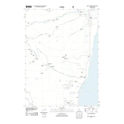 2011 Saint Charles2011 Print · USGSThe western shores of Bear Lake and the rugged canyons of the Idaho-Utah border are captured here in the early twenty-first century. Genealogists and local historians can trace family-named landmarks like Sams Hollow and Williamson Hollow or locate the historic Blackstone Mine.
 - 2011 Map of Fossil Canyon, 2011 Print
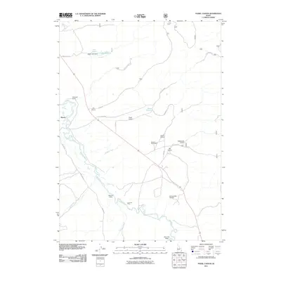 2011 Fossil Canyon2011 Print · USGSCaribou County in the early 21st century is captured here as a landscape of river basins and ranching history. Researchers can trace the meandering Bear River past Manson and locate infrastructure like Cavanaugh Siding and Stewart Ranch Dam.
 - 2011 Map of Garden City, 2011 Print
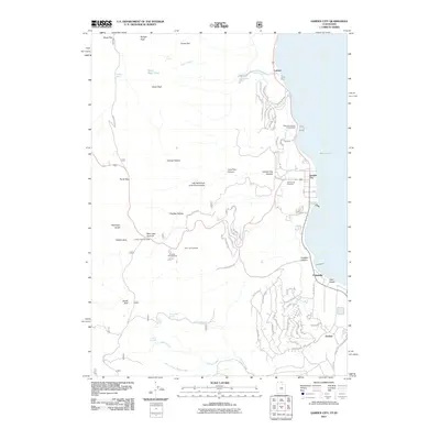 2011 Garden City2011 Print · USGSBear Lake's western shoreline in the early 2010s shows a unique mix of high-desert recreation and mountain wilderness. Researchers can trace local landmarks like the Garden City Cemetery, Camp Hunt, and family-named terrain such as Richardson Fork and Cheney Creek.
Showing maps 1-25 of 87
Top cities of Bear Lake County
- Montpelier historical maps
- Paris historical maps
- Georgetown historical maps
- Bloomington historical maps
Frequently asked questions
- What are the different types of historical maps available for Bear Lake County?
- What is the oldest map of Bear Lake County?
- Where can I purchase historical maps of Bear Lake County for my home or office?
- Where can I download high-res historical maps of Bear Lake County?
- Are there historical topographic maps available for Bear Lake County?
- Is there historical aerial imagery available for Bear Lake County?
- Where are historical maps of Bear Lake County sourced from?