2020s Maps of Bear Lake County, Idaho
Explore 55 historic maps of Bear Lake County from the 2020s. These maps offer a rare glimpse into what life looked like during the 2020s — showing old roads, neighborhoods, homes, and landmarks that have changed or disappeared over time.
Whether you're researching your family's past, planning a metal detecting trip, or studying how Bear Lake County's landscape evolved across the 2020s, these high-resolution maps are a powerful tool for exploring the history of this region.
- Focus on a specific era: All maps on this page are from the 2020s, giving you a focused view of this time period.
- See what’s changed: Compare century-old streets, trails, and buildings to today's modern landscape using overlays and satellite layers.
- Research with precision: Use these maps for genealogy, historical research, land use analysis, or educational projects.
- View, download, or print: Maps are fully viewable online in high resolution, and can be downloaded or printed for your own records.
Start exploring Bear Lake County's history through authentic maps from the 2020s. This is your window into the past.
Bear Lake County, ID maps
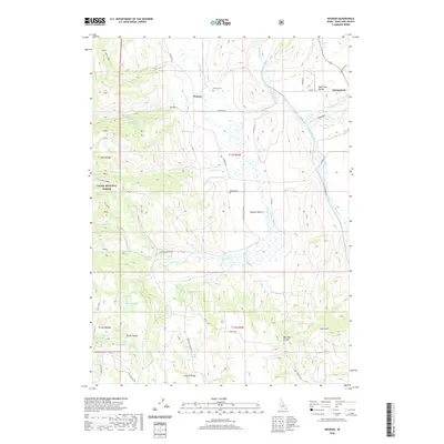
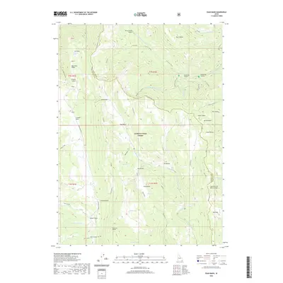
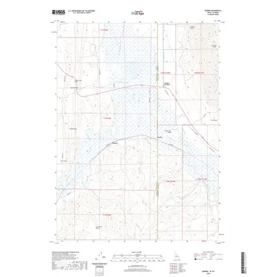
(55)- 2020 Map of Mink Creek, 2020 Print
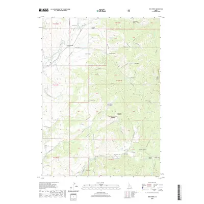 2020 Mink Creek2020 Print · USGSCovers Bear Lake County, including Mink Creek, Franklin County, and other nearby areas
 - 2020 Map of Fossil Canyon, 2020 Print
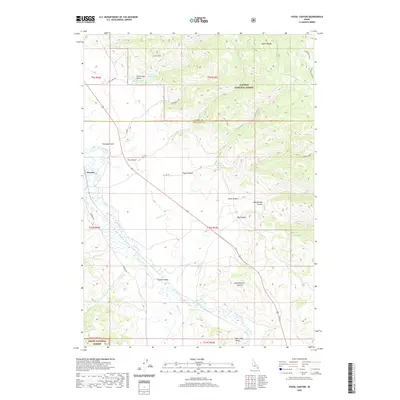 2020 Fossil Canyon2020 Print · USGSCovers Bear Lake County, including Caribou County, United States, and other nearby areas
 - 2020 Map of Montpelier, 2020 Print
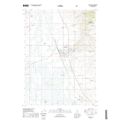 2020 Montpelier2020 Print · USGSCovers Bear Lake County, including Montpelier, United States, and other nearby areas
 - 2020 Map of Dingle, 2020 Print
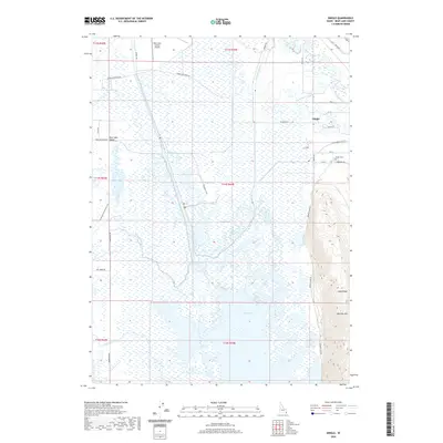 2020 Dingle2020 Print · USGSCovers Bear Lake County, including Dingle, United States, and other nearby areas
 - 2020 Map of Ovid, 2020 Print
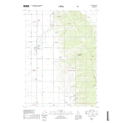
 2020 Ovid2020 Print · USGSCovers Bear Lake County, including Bern, United States, and other nearby areas
 - 2020 Map of Grace, 2020 Print
 2020 Grace2020 Print · USGSCovers Bear Lake County, including Grace, Caribou County, and other nearby areas
 - 2020 Map of Meade Peak, 2020 Print
 2020 Meade Peak2020 Print · USGSCovers Bear Lake County, including Caribou County, United States, and other nearby areas
 - 2020 Map of Nounan, 2020 Print
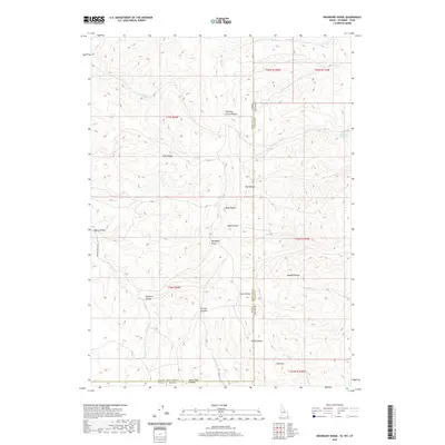
 2020 Nounan2020 Print · USGSCovers Bear Lake County, including Georgetown, United States, and other nearby areas
 - 2020 Map of Bear Lake North, 2020 Print
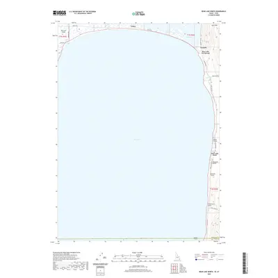 2020 Bear Lake North2020 Print · USGSCovers Bear Lake County, including Bear Lake Sands, Rich County, and other nearby areas
 - 2020 Map of Pegram, 2020 Print
 2020 Pegram2020 Print · USGSCovers Bear Lake County, including United States, Idaho, and other nearby areas
 - 2020 Map of Harrington Peak, 2020 Print
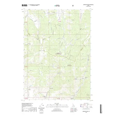 2020 Harrington Peak2020 Print · USGSCovers Bear Lake County, including Caribou County, United States, and other nearby areas
 - 2020 Map of Paris Peak, 2020 Print
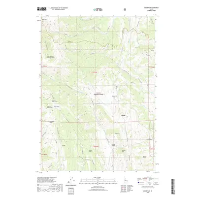
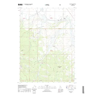
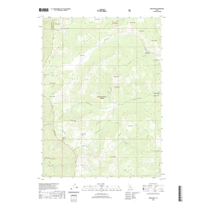 2020 Paris Peak2020 Print · USGSCovers Bear Lake County, including Franklin County, United States, and other nearby areas
 - 2020 Map of Egan Basin, 2020 Print
 2020 Egan Basin2020 Print · USGSCovers Bear Lake County, including Franklin County, United States, and other nearby areas
 - 2020 Map of Snowdrift Mountain, 2020 Print
 2020 Snowdrift Mountain2020 Print · USGSCovers Bear Lake County, including Caribou County, United States, and other nearby areas
 - 2020 Map of Boundary Ridge, 2020 Print
 2020 Boundary Ridge2020 Print · USGSCovers Bear Lake County, including Lincoln County, Rich County, and other nearby areas
 - 2020 Map of Elk Valley, 2020 Print
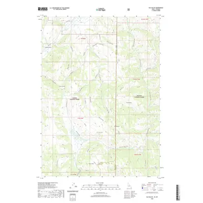 2020 Elk Valley2020 Print · USGSCovers Bear Lake County, including Lincoln County, Caribou County, and other nearby areas
 - 2020 Map of Border, 2020 Print
 2020 Border2020 Print · USGSCovers Bear Lake County, including Border Junction, Lincoln County, and other nearby areas
 - 2020 Map of Soda Peak, 2020 Print
 2020 Soda Peak2020 Print · USGSCovers Bear Lake County, including Caribou County, United States, and other nearby areas
 - 2020 Map of Saint Charles, 2020 Print
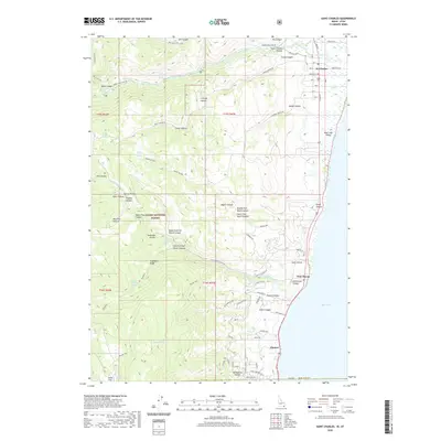 2020 Saint Charles2020 Print · USGSCovers Bear Lake County, including Glencoe, Fish Haven, and other nearby areas
 - 2020 Map of Montpelier Canyon, 2020 Print
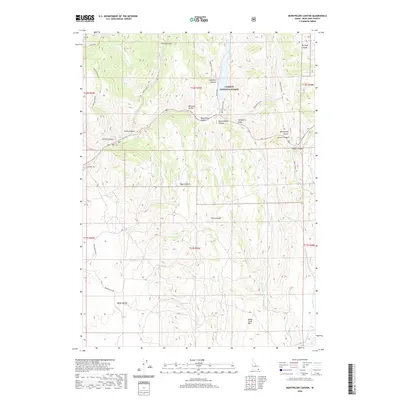 2020 Montpelier Canyon2020 Print · USGSCovers Bear Lake County, including United States, Idaho, and other nearby areas
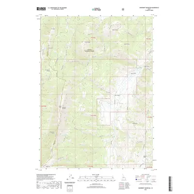
 - 2020 Map of Midnight Mountain, 2020 Print
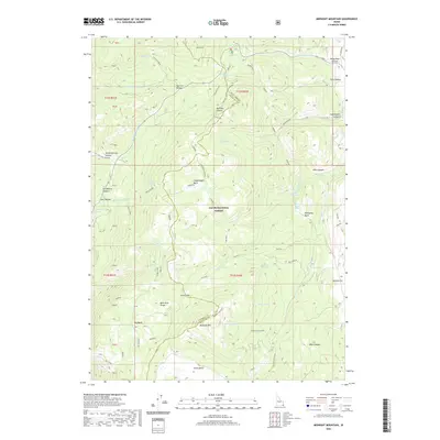 2020 Midnight Mountain2020 Print · USGSCovers Bear Lake County, including Franklin County, United States, and other nearby areas
 - 2020 Map of Paris, 2020 Print
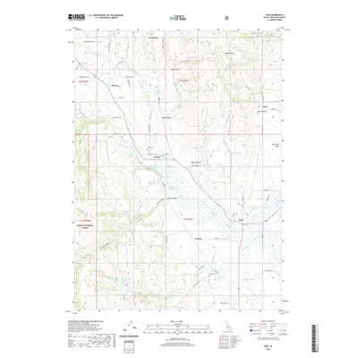
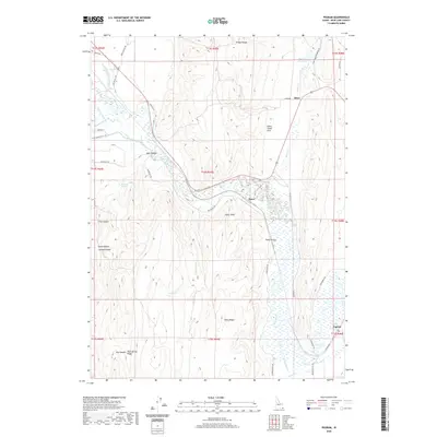
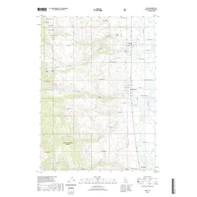 2020 Paris2020 Print · USGSCovers Bear Lake County, including Paris, Bloomington, and other nearby areas
 - 2020 Map of Georgetown, 2020 Print
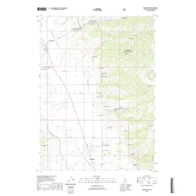 2020 Georgetown2020 Print · USGSCovers Bear Lake County, including Georgetown, United States, and other nearby areas
 - 2020 Map of Pegram Creek, 2020 Print
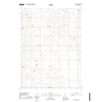 2020 Pegram Creek2020 Print · USGSCovers Bear Lake County, including Rich County, United States, and other nearby areas
 - 2020 Map of North Canyon, 2020 Print
 2020 North Canyon2020 Print · USGSCovers Bear Lake County, including Franklin County, Caribou County, and other nearby areas
Showing maps 1-25 of 55
Top cities of Bear Lake County
- Montpelier historical maps
- Paris historical maps
- Georgetown historical maps
- Bloomington historical maps
Frequently asked questions
- What are the different types of historical maps available for Bear Lake County?
- What is the oldest map of Bear Lake County?
- Where can I purchase historical maps of Bear Lake County for my home or office?
- Where can I download high-res historical maps of Bear Lake County?
- Are there historical topographic maps available for Bear Lake County?
- Is there historical aerial imagery available for Bear Lake County?
- Where are historical maps of Bear Lake County sourced from?