2000s (21st Century) Maps of Butte County, Idaho
Explore 295 historic maps of Butte County from the 2000s (21st Century). These maps offer a rare glimpse into what life looked like during the 2000s — showing old roads, neighborhoods, homes, and landmarks that have changed or disappeared over time.
Whether you're researching your family's past, planning a metal detecting trip, or studying how Butte County's landscape evolved across the 2000s, these high-resolution maps are a powerful tool for exploring the history of this region.
- Focus on a specific era: All maps on this page are from the 2000s, giving you a focused view of this time period.
- See what’s changed: Compare century-old streets, trails, and buildings to today's modern landscape using overlays and satellite layers.
- Research with precision: Use these maps for genealogy, historical research, land use analysis, or educational projects.
- View, download, or print: Maps are fully viewable online in high resolution, and can be downloaded or printed for your own records.
Start exploring Butte County's history through authentic maps from the 2000s. This is your window into the past.
Butte County, ID maps
(295)- 2010 Map of Little Butte NW, 2010 Print
 2010 Little Butte NW2010 Print · USGSBingham County's expansive desert landscape is revealed in the early twenty-first century, showing a remote network of range roads. Researchers can trace the paths of Birch Creek Rd, Shell Rd, and E Monument Line Rd through this quiet Idaho terrain.
 - 2010 Map of Circular Butte NW, 2010 Print
 2010 Circular Butte NW2010 Print · USGSJefferson County’s high desert landscape appears in the years following the turn of the millennium, showing a region defined by its isolated water sources and long-haul desert roads. Trace the course of Birch Creek or the long desert stretches of Cutoff Rd and E 2300 N.
 - 2010 Map of Scoville, 2010 Print
 2010 Scoville2010 Print · USGSBingham County in the early twenty-first century reveals a landscape defined by significant volcanic landmarks and a dedicated desert road network. Researchers can trace the routes around Scoville or locate prominent features like Cerro Grande and Cedar Butte.
 - 2010 Map of Richard Butte, 2010 Print
 2010 Richard Butte2010 Print · USGSHigh desert volcanic features and sparse settlement define this Butte County landscape in the early twenty-first century. Genealogists and historians can locate Goddard Cemetery or trace the path of Birch Creek past the landmark heights of Richard Butte.
 - 2010 Map of North of Ryegrass Flat, 2010 Print
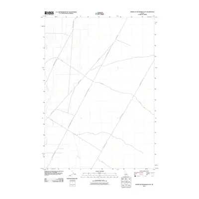 2010 North of Ryegrass Flat2010 Print · USGSThe high desert of Butte County is captured here in the early twenty-first century, showing a landscape defined by industrial and survey corridors. Researchers can trace the path of the Big Lost River as it passes through a grid of utility roads like Lincoln Blvd and Shell Rd.
 - 2010 Map of Atomic City, 2010 Print
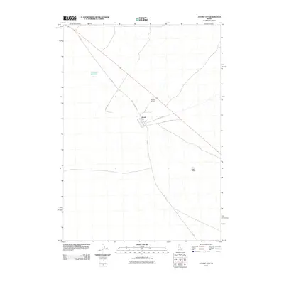 2010 Atomic City2010 Print · USGSAtomic City and the surrounding high desert are captured here in the early twenty-first century. Researchers can trace the layout of Atomic City and locate remote landmarks like Table Legs Butte, Midway Airport, and the isolated Cottontail Waterhole.
 - 2010 Map of Circular Butte, 2010 Print
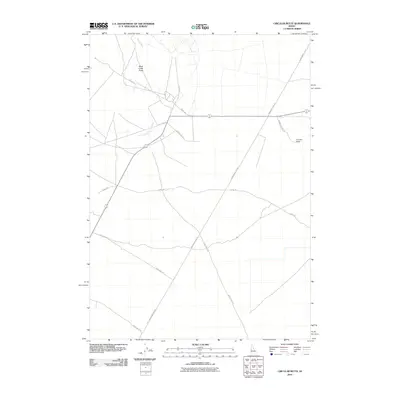 2010 Circular Butte2010 Print · USGSJefferson County's high desert landscape is captured here in the early 2000s, showing a grid of named roads crossing the volcanic plain. Researchers can trace the path of Birch Creek into the Birch Creek Sinks or locate the namesake Circular Butte.
 - 2010 Map of East of Howe Peak, 2010 Print
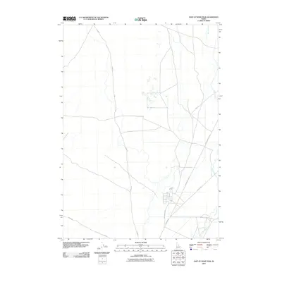 2010 East of Howe Peak2010 Print · USGSThe high desert of Butte County comes into focus in this early twenty-first-century survey of the terrain east of Howe Peak. Researchers can trace the winding course of the Big Lost River and the grid of rural routes including Lincoln Blvd and Howe Rd.
 - 2010 Map of Big Lost River Sinks, 2010 Print
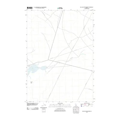 2010 Big Lost River Sinks2010 Print · USGSThe Idaho high desert at the end of the first decade of the 2000s is defined here by its unique terminal drainage. Trace the fascinating path of the Big Lost River and the Dry Channel Big Lost River as they converge at the Big Lost River Sinks.
 - 2010 Map of Little Butte SW, 2010 Print
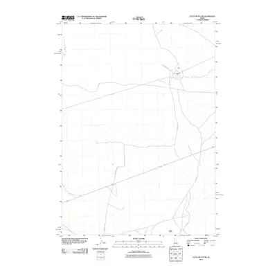 2010 Little Butte SW2010 Print · USGSThe high desert of Bingham County, Idaho, is captured here in the early 2000s, showcasing a landscape of vast volcanic features and rural outposts. Researchers can trace the layout of Argonne West or follow the paths of Stage Rd and Twin Buttes Rd toward the landmark of East Butte.
 - 2010 Map of Rock Butte, 2010 Print
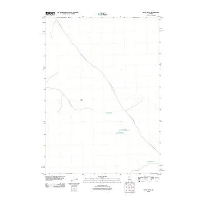 2010 Rock Butte2010 Print · USGSThe high desert terrain of Bingham County is captured here in the early twenty-first century, showing a landscape defined by vital water resources. Researchers and outdoorsmen can trace remote access routes like Cow Pasture Rd to Rock Butte and Moose Reservoir.
 - 2010 Map of Little Lost River Sinks, 2010 Print
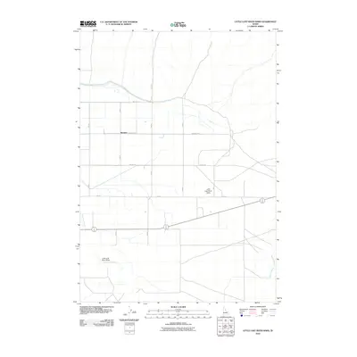 2010 Little Lost River Sinks2010 Print · USGSThe high desert basins of Butte County, Idaho, are shown at a time of established agricultural irrigation and precise land surveying. Genealogists and local historians can trace the rural grid around Berenice and the unique hydrological terminal of the Little Lost River Sinks.
 - 2010 Map of Red Hills, 2010 Print
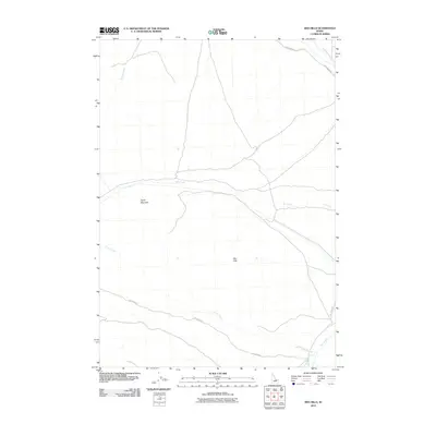 2010 Red Hills2010 Print · USGSCuster County's high-elevation drainages are mapped in detail during the early 2000s, showing a landscape defined by water and ranching routes. Trace the paths of Dry Creek and Corral Creek as they wind past Taylor Mountain.
 - 2010 Map of Ryegrass Flat, 2010 Print
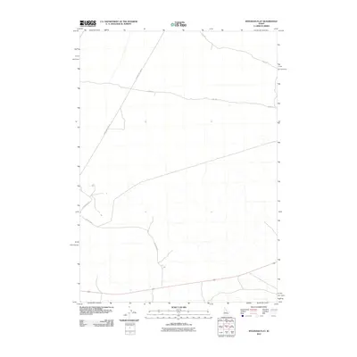 2010 Ryegrass Flat2010 Print · USGSBingham County, Idaho, is depicted here in the early twenty-first century as a landscape defined by its remote rural road network. Local history researchers can trace the routes of E Monument Line Rd, Stage Rd, and Fillmore Blvd across the high desert.
 - 2010 Map of North of Scoville, 2010 Print
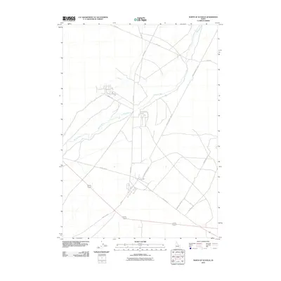 2010 North of Scoville2010 Print · USGSButte County at the start of the new millennium shows a landscape shaped by water and precise surveying. Researchers can trace the path of the Big Lost River and find historical transit corridors like Stage Rd and Center Monument Line Rd.
 - 2010 Map of Grouse, 2010 Print
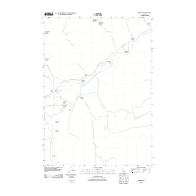 2010 Grouse2010 Print · USGSCuster County ranching country is captured here in the early twenty-first century as it spans the high Antelope Valley. Trace local history through landmarks like the Antelope Cemetery, the settlement of Grouse, and the Antelope Valley Airport.
 - 2010 Map of Arco Hills SE, 2010 Print
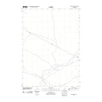 2010 Arco Hills SE2010 Print · USGSButte County, Idaho is captured in the early twenty-first century, showing a remote landscape shaped by water and volcanism. Researchers can trace the path of the Big Lost River and the rural network of Big Southern Butte Rd and Adams Blvd.
 - 2010 Map of Appendicitis Hill, 2010 Print
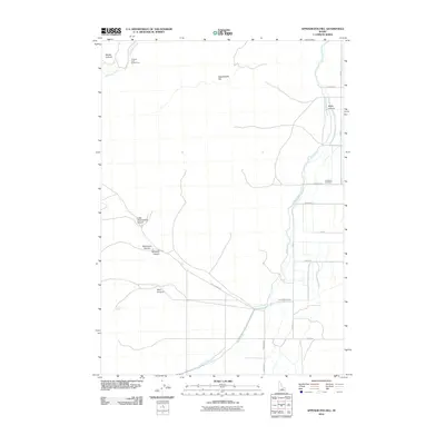 2010 Appendicitis Hill2010 Print · USGSLost River, Idaho, is documented here in the early twenty-first century as a land of canal irrigation and deep canyon drainages. Genealogists and local researchers can locate the Lost River Cemetery and trace water routes from Antelope Creek to the Blaine Canal.
 - 2010 Map of Quaking Aspen Butte, 2010 Print
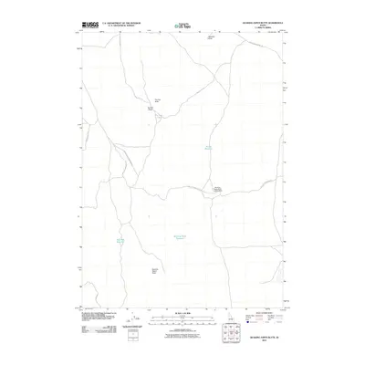 2010 Quaking Aspen Butte2010 Print · USGSThe high desert of Butte County is revealed here during the early twenty-first century, showing a landscape of volcanic buttes and remote reservoirs. Researchers can trace land use through features like the Quaking Aspen Butte Landing Strip, Tin Cup Lake, and Teakettle Butte.
 - 2010 Map of Fissure Butte, 2010 Print
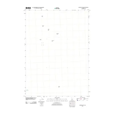 2010 Fissure Butte2010 Print · USGSHigh-desert geological features dominate this Blaine County landscape in the early twenty-first century. Modern researchers can locate distinct landmarks like Bridge of the Moon, Vermilion Chasm, and the waters of Hawk Reservoir.
 - 2010 Map of Big Southern Butte, 2010 Print
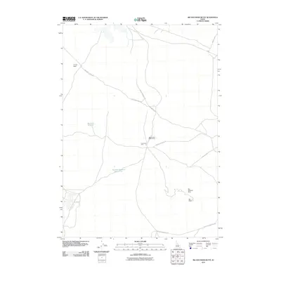 2010 Big Southern Butte2010 Print · USGSButte County's high desert landscape is centered on a massive volcanic landmark during the early twenty-first century. Genealogists and historians can trace local travel routes like Frenchglen Rd and locate sites such as Frenchmans Cabin or the Big Southern Butte Airport.
 - 2010 Map of North Laidlaw Butte, 2010 Print
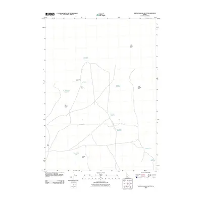 2010 North Laidlaw Butte2010 Print · USGSBlaine County's high-desert rangeland is captured here in the early 21st century, showing the critical intersection of volcanic geology and water management. Researchers can trace land use through Hollow Top Airport and isolated catchments like Bullshot Reservoir and Spencer Lake.
 - 2010 Map of Inferno Cone, 2010 Print
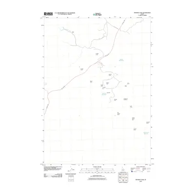 2010 Inferno Cone2010 Print · USGSButte County’s volcanic landscape is captured here during the first decade of the millennium, centered on the unique formations of the eastern Snake River Plain. Researchers can locate specific geological and historical markers such as the Martin Mine, Tepee Circles, and the Indian Tunnel along the Loop Rd.
 - 2010 Map of Nichols Reservoir, 2010 Print
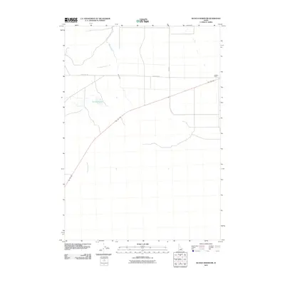 2010 Nichols Reservoir2010 Print · USGSButte County land use and water management are clearly visible in the early twenty-first century. Genealogists and local historians can trace the Blaine Canal system and locate specific family landmarks like the Soelberg Ranch and Nichols Reservoir.
 - 2010 Map of Serviceberry Butte, 2010 Print
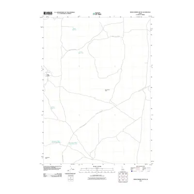 2010 Serviceberry Butte2010 Print · USGSBlaine County's high desert reveals its ranching and water management history in this early twenty-first-century survey. Trace the movement of livestock through Smith Corrals or locate essential water sources like Coyote Water Hole and Harold Reservoir.
Showing maps 1-25 of 295
Top cities of Butte County
Frequently asked questions
- What are the different types of historical maps available for Butte County?
- What is the oldest map of Butte County?
- Where can I purchase historical maps of Butte County for my home or office?
- Where can I download high-res historical maps of Butte County?
- Are there historical topographic maps available for Butte County?
- Is there historical aerial imagery available for Butte County?
- Where are historical maps of Butte County sourced from?