2020s Maps of Butte County, Idaho
Explore 118 historic maps of Butte County from the 2020s. These maps offer a rare glimpse into what life looked like during the 2020s — showing old roads, neighborhoods, homes, and landmarks that have changed or disappeared over time.
Whether you're researching your family's past, planning a metal detecting trip, or studying how Butte County's landscape evolved across the 2020s, these high-resolution maps are a powerful tool for exploring the history of this region.
- Focus on a specific era: All maps on this page are from the 2020s, giving you a focused view of this time period.
- See what’s changed: Compare century-old streets, trails, and buildings to today's modern landscape using overlays and satellite layers.
- Research with precision: Use these maps for genealogy, historical research, land use analysis, or educational projects.
- View, download, or print: Maps are fully viewable online in high resolution, and can be downloaded or printed for your own records.
Start exploring Butte County's history through authentic maps from the 2020s. This is your window into the past.
Butte County, ID maps
(118)- 2020 Map of Arco South, 2020 Print
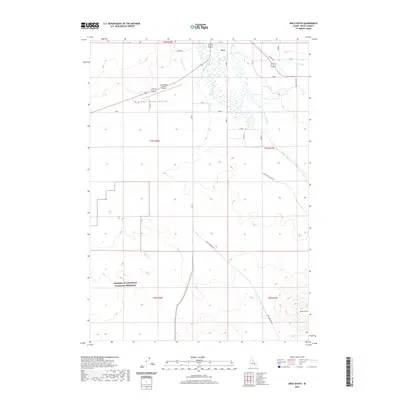 2020 Arco South2020 Print · USGSArco and the northern reach of the Snake River Plain are captured here in the early twenty-first century. Researchers can trace water management along the Big Lost River or locate the northern boundary of Craters of the Moon National Preserve.
 - 2020 Map of Little Park, 2020 Print
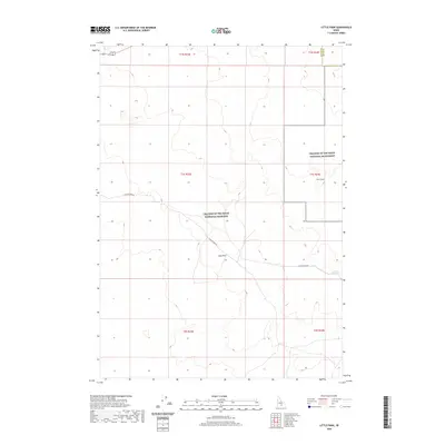 2020 Little Park2020 Print · USGSBlaine and Butte counties meet in this volcanic high-desert landscape during the early twenty-first century. Researchers can trace the modern boundaries of Craters of the Moon National Preserve and find isolated water sources like Junction Reservoir.
 - 2020 Map of Sunset Peak, 2020 Print
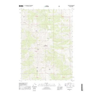 2020 Sunset Peak2020 Print · USGSThe high Lost River Range comes into focus on this recent survey of Butte County, Idaho. Researchers can trace remote backcountry routes like Sands Canyon Trail and Mikes Trail as they navigate the ridges near Sunset Peak.
 - 2020 Map of Atomic City, 2020 Print
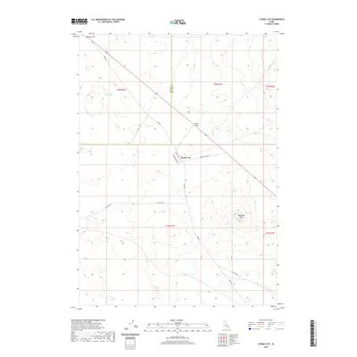 2020 Atomic City2020 Print · USGSAtomic City and the Snake River Plain are captured here in the early twenty-first century. Researchers can trace the desert road network including Taber Rd and locate local landmarks like Table Legs Butte and Midway Airport.
 - 2020 Map of North of Scoville, 2020 Print
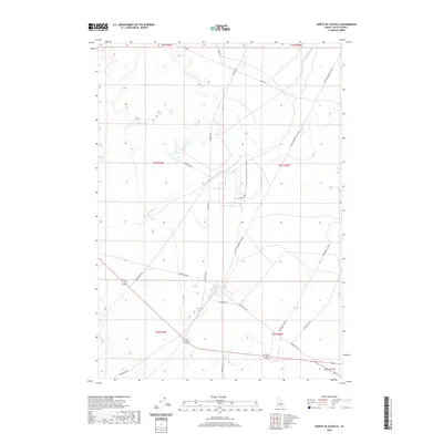 2020 North of Scoville2020 Print · USGSSoutheastern Butte County is shown here in the contemporary era as an intersection of desert water and modern infrastructure. You can trace the Big Lost River or locate local landmarks like Ryegrass Flat and the grid of Lincoln Blvd.
 - 2020 Map of Howe NW, 2020 Print
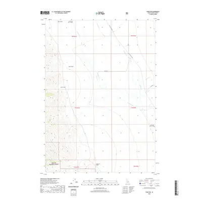 2020 Howe NW2020 Print · USGSThe Little Lost River Valley comes into focus on this 2020 survey, showing the vital water network and canyon lands of Butte County. Trace the route of the Little Lost River Hwy past Sands Canyon and the edge of Challis National Forest.
 - 2020 Map of Miller Peak, 2020 Print
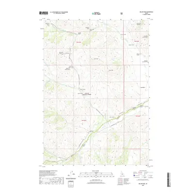 2020 Miller Peak2020 Print · USGSThe high canyons and mountain peaks of central Idaho are shown here in modern detail, covering the border of Custer and Butte Counties. Researchers can trace historic access routes like Copper Basin Road and locate remote landmarks such as Big Spring, Death Canyon, and Miller Peak.
 - 2020 Map of Trail Creek, 2020 Print
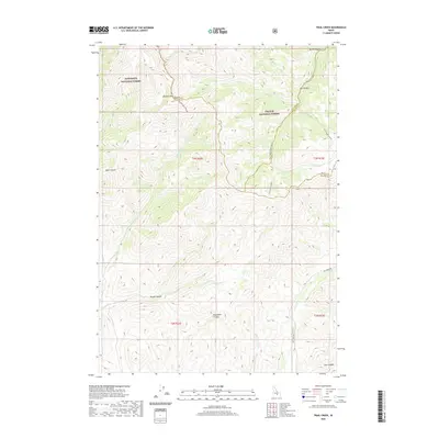 2020 Trail Creek2020 Print · USGSThe high backcountry of Blaine and Custer counties comes into focus in this 2020 record of the Idaho wilderness. Researchers can trace the rugged topography of Pioneer Mtn and remote routes through Rough Canyon or along Fish Creek Rd.
 - 2020 Map of Big Southern Butte, 2020 Print
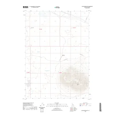 2020 Big Southern Butte2020 Print · USGSThe high desert of Idaho's Snake River Plain comes into focus in the early 2020s, centered on the massive volcanic profile of the butte. You can trace remote water sources like Big Butte Reservoir and Frenchmans Spring alongside the Big Southern Butte Airport.
 - 2020 Map of Howe, 2020 Print
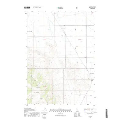 2020 Howe2020 Print · USGSButte County is captured here in the early 2020s, showing the intersection of high-desert ranching and the mountain wilderness. Genealogists and locals can trace the landscape around Howe, the Howe Airport, and the canyons of the Challis National Forest.
 - 2020 Map of Arco North, 2020 Print
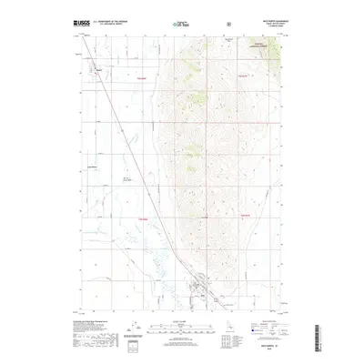 2020 Arco North2020 Print · USGSArco and the Big Lost River Valley are shown in detail during the early 2020s, revealing a landscape defined by high peaks and desert irrigation. Researchers can trace local landmarks like the Butte County Courthouse, Hillcrest Cem, and the Arco Canal.
 - 2020 Map of Arco Hills SE, 2020 Print
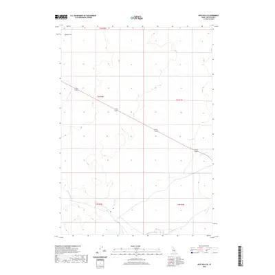 2020 Arco Hills SE2020 Print · USGSSoutheast of the Arco Hills in the 2020s, this Idaho landscape is defined by the sweeping reach of the Big Lost River. Researchers can trace the course of the waterway as it passes south of Deadman Flat and crosses under Highway 20/26.
 - 2020 Map of Ryegrass Flat, 2020 Print
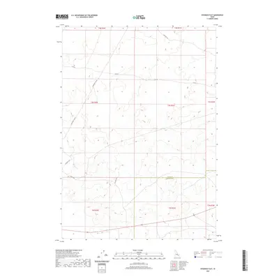 2020 Ryegrass Flat2020 Print · USGSBingham and Butte counties meet in this high-desert Idaho corridor during the early twenty-first century. Researchers can trace the layout of the regional landscape through thoroughfares like Stage Rd, E Monument Line Rd, and Fillmore Blvd.
 - 2020 Map of Fissure Butte, 2020 Print
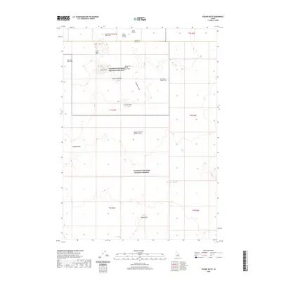 2020 Fissure Butte2020 Print · USGSThe volcanic landscapes of Blaine and Butte counties are captured here in the early twenty-first century. Geologists and explorers can trace the Great Rift and numerous basaltic landmarks like Fissure Butte and the Sawtooth Flow.
 - 2020 Map of Tyler Peak, 2020 Print
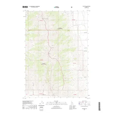 2020 Tyler Peak2020 Print · USGSThe Lemhi Range and the high-elevation divide between the Challis and Targhee National Forests are the focus of this contemporary topographic survey. Hikers and explorers can trace backcountry routes like the Middle Canyon Trail and locate remote landmarks such as Tyler Peak and Saddle Mtn.
 - 2020 Map of Fingers Butte, 2020 Print
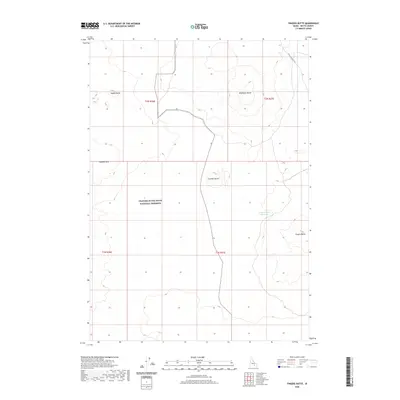 2020 Fingers Butte2020 Print · USGSButte County's high-desert volcanic landscape is captured here in the contemporary era. Researchers can trace the boundaries of the CRATERS OF THE MOON NATIONAL PRESERVE and locate landmarks like Fingers Butte Reservoir and Saddle Butte.
 - 2020 Map of Serviceberry Butte, 2020 Print
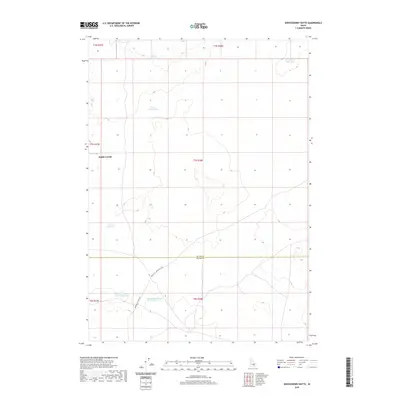 2020 Serviceberry Butte2020 Print · USGSThis high-desert expanse on the Blaine and Butte county line is documented in the modern era as a landscape of remote water holes and ranching history. Researchers can trace early transit routes and livestock stops like Smith Corrals, Pratt Lake, and Rocky Point Water Hole.
 - 2020 Map of Champagne Creek, 2020 Print
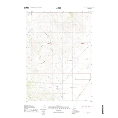 2020 Champagne Creek2020 Print · USGSThe high mountain canyons and volcanic borders of Butte County are captured here in the years following the millennium. Genealogists and land researchers can trace the small settlements of Era and Martin or follow the path of Martins Ditch into the Craters of the Moon National Preserve.
 - 2020 Map of Blizzard Mountain South, 2020 Print
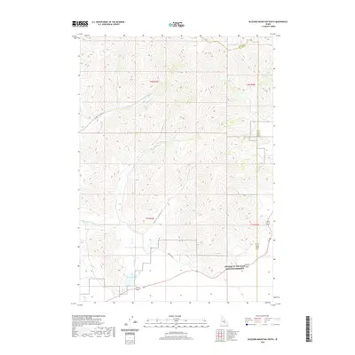 2020 Blizzard Mountain South2020 Print · USGSHigh desert volcanic terrain and mountain drainages define this Blaine County landscape in 2020. Researchers can trace the edge of Craters of the Moon National Preserve and find isolated water sources like Lava Lake and Copper Creek.
 - 2020 Map of Smiley Mountain, 2020 Print
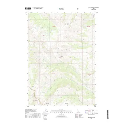 2020 Smiley Mountain2020 Print · USGSHigh in the Idaho backcountry during the early twenty-first century, this map details the intersection of two national forests and a vast network of alpine lakes. Outdoor historians and researchers can trace established routes like the Muldoon-Ironbog Trail through the high basins of Golden Lake and Iron Bog Lake.
 - 2020 Map of Richard Butte, 2020 Print
 2020 Richard Butte2020 Print · USGSButte County at the foot of the Lemhi Range is captured here in the early twenty-first century, showing a landscape of deep canyons and volcanic ridges. Researchers can locate Goddard Cem near Tyler Canyon and trace the seasonal path of Birch Cr.
 - 2020 Map of Little Butte NW, 2020 Print
 2020 Little Butte NW2020 Print · USGSThe high desert of southeastern Idaho is mapped here at the turn of the decade, showing where three counties meet. Researchers can trace the path of E Monument Line Rd and Shell Rd as they navigate the border of T4N R31E.
 - 2020 Map of The Watchman, 2020 Print
 2020 The Watchman2020 Print · USGSThe volcanic landscape of Butte County is revealed in the late twenty-teens, showcasing the basaltic flows of the Snake River Plain. Researchers can trace the path of the Great Rift and locate specific features like The Watchman, The Sentinel, and Surprise Waterhole.
 - 2020 Map of North Laidlaw Butte, 2020 Print
 2020 North Laidlaw Butte2020 Print · USGSThe volcanic high desert of Blaine County comes into focus in this recent survey of the Snake River Plain. Geologists and local historians can trace the paths of the Sentinel West Flow and locate remote landmarks like Hollow Top Airport and Bowl Crater.
 - 2020 Map of Scoville, 2020 Print
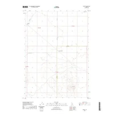 2020 Scoville2020 Print · USGSBingham County's volcanic landscape is captured in the modern era, showing the sparse settlement of Scoville amid high desert plains. Researchers can trace the junction of Farragut Blvd and Big Southern Butte Rd near landmarks like Cedar Butte.
Showing maps 1-25 of 118
Top cities of Butte County
Frequently asked questions
- What are the different types of historical maps available for Butte County?
- What is the oldest map of Butte County?
- Where can I purchase historical maps of Butte County for my home or office?
- Where can I download high-res historical maps of Butte County?
- Are there historical topographic maps available for Butte County?
- Is there historical aerial imagery available for Butte County?
- Where are historical maps of Butte County sourced from?