2000s (21st Century) Maps of Emmett, Idaho
Explore 20 historic maps of Emmett from the 2000s (21st Century). These maps offer a rare glimpse into what life looked like during the 2000s — showing old roads, neighborhoods, homes, and landmarks that have changed or disappeared over time.
Whether you're researching your family's past, planning a metal detecting trip, or studying how Emmett's landscape evolved across the 2000s, these high-resolution maps are a powerful tool for exploring the history of this region.
- Focus on a specific era: All maps on this page are from the 2000s, giving you a focused view of this time period.
- See what’s changed: Compare century-old streets, trails, and buildings to today's modern landscape using overlays and satellite layers.
- Research with precision: Use these maps for genealogy, historical research, land use analysis, or educational projects.
- View, download, or print: Maps are fully viewable online in high resolution, and can be downloaded or printed for your own records.
Start exploring Emmett's history through authentic maps from the 2000s. This is your window into the past.
Emmett, ID maps
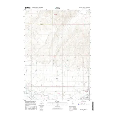
(20)- 2010 Map of Southeast Emmett, 2010 Print
 2010 Southeast Emmett2010 Print · USGSCovers Emmett, including Eagle, Ada County, and other nearby areas
 - 2010 Map of Southwest Emmett, 2010 Print
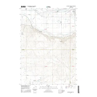
 2010 Southwest Emmett2010 Print · USGSCovers Emmett, including Bramwell, Ada County, and other nearby areas
 - 2010 Map of Northeast Emmett, 2010 Print
 2010 Northeast Emmett2010 Print · USGSCovers Emmett, including Gem County, United States, and other nearby areas
 - 2010 Map of Northwest Emmett, 2010 Print
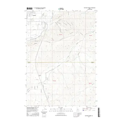
 2010 Northwest Emmett2010 Print · USGSCovers Emmett, including Payette County, Gem County, and other nearby areas
 - 2013 Map of Southwest Emmett, 2013 Print
 2013 Southwest Emmett2013 Print · USGSCovers Emmett, including Bramwell, Ada County, and other nearby areas
 - 2013 Map of Southeast Emmett, 2013 Print
 2013 Southeast Emmett2013 Print · USGSCovers Emmett, including Eagle, Ada County, and other nearby areas
 - 2013 Map of Northeast Emmett, 2013 Print
 2013 Northeast Emmett2013 Print · USGSCovers Emmett, including Gem County, United States, and other nearby areas
 - 2013 Map of Northwest Emmett, 2013 Print
 2013 Northwest Emmett2013 Print · USGSCovers Emmett, including Payette County, Gem County, and other nearby areas
 - 2017 Map of Northwest Emmett, 2017 Print
 2017 Northwest Emmett2017 Print · USGSCovers Emmett, including Payette County, Gem County, and other nearby areas
 - 2017 Map of Southwest Emmett, 2017 Print
 2017 Southwest Emmett2017 Print · USGSCovers Emmett, including Bramwell, Ada County, and other nearby areas
 - 2017 Map of Northeast Emmett, 2017 Print
 2017 Northeast Emmett2017 Print · USGSCovers Emmett, including Gem County, United States, and other nearby areas
 - 2017 Map of Southeast Emmett, 2017 Print
 2017 Southeast Emmett2017 Print · USGSCovers Emmett, including Eagle, Ada County, and other nearby areas
 - 2020 Map of Northwest Emmett, 2020 Print
 2020 Northwest Emmett2020 Print · USGSCovers Emmett, including Payette County, Gem County, and other nearby areas
 - 2020 Map of Southeast Emmett, 2020 Print
 2020 Southeast Emmett2020 Print · USGSCovers Emmett, including Eagle, Ada County, and other nearby areas
 - 2020 Map of Northeast Emmett, 2020 Print
 2020 Northeast Emmett2020 Print · USGSCovers Emmett, including Gem County, United States, and other nearby areas
 - 2020 Map of Southwest Emmett, 2020 Print
 2020 Southwest Emmett2020 Print · USGSCovers Emmett, including Bramwell, Ada County, and other nearby areas
 - 2023 Map of Northeast Emmett, 2023 Print
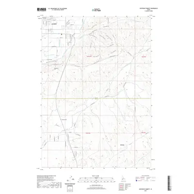
 2023 Northeast Emmett2023 Print · USGSCovers Emmett, including Gem County, United States, and other nearby areas2 unique versions available
 - 2023 Map of Southeast Emmett, 2023 Print
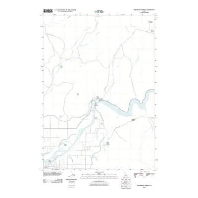
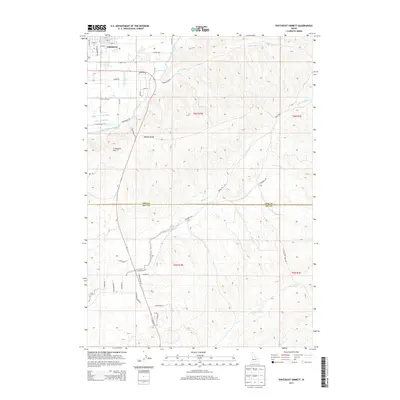
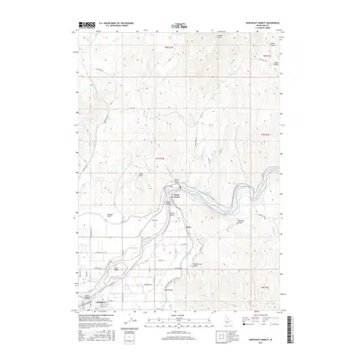
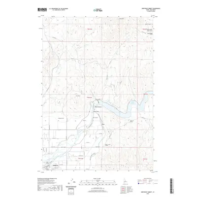
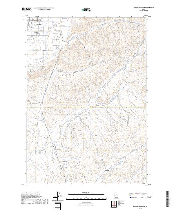 2023 Southeast Emmett2023 Print · USGSThe Gem and Ada county line area comes into focus here in the modern era, showing the growth of Emmett and Eagle. Local historians can trace agricultural water routes like the Last Chance Canal or locate landmarks such as the Gem County Courthouse.
 - 2023 Map of Southwest Emmett, 2023 Print
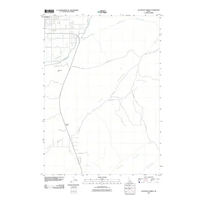
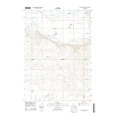
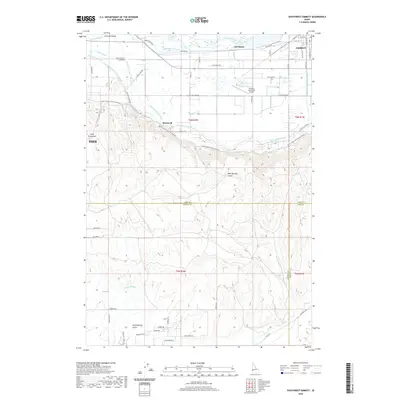
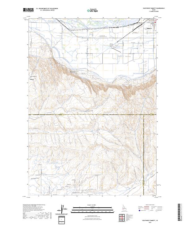 2023 Southwest Emmett2023 Print · USGSThe Emmett Valley region is defined here by its sophisticated irrigation network and the transition from the Payette River to the southern gulches. Researchers can trace the layout of early settlements like Bramwell and Jenness or the path of the Black Canyon Canal.
 - 2024 Map of Northwest Emmett, 2024 Print
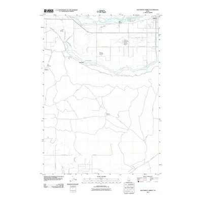
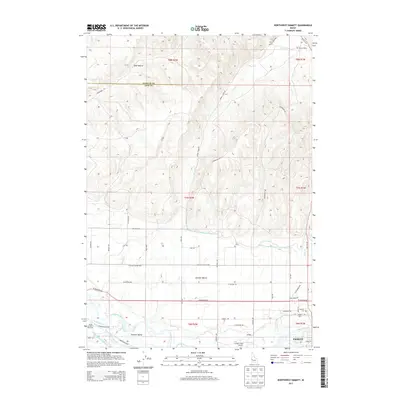
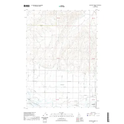
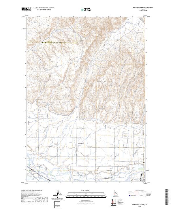 2024 Northwest Emmett2024 Print · USGSGem County agricultural lands and the draws of the northern hills appear in high detail at the start of the 2020s. Genealogists and local historians can trace irrigation networks like Seitz Ditch and find local landmarks including Emmett Cem and Lanham Field.
End of results
Showing maps 1-20 of 20
Top cities near Emmett
- Boise historical maps
- Meridian historical maps
- Nampa historical maps
- Caldwell historical maps
- Eagle historical maps
- Star historical maps
See more
Frequently asked questions
- What are the different types of historical maps available for Emmett?
- What is the oldest map of Emmett?
- Where can I purchase historical maps of Emmett for my home or office?
- Where can I download high-res historical maps of Emmett?
- Are there historical topographic maps available for Emmett?
- Is there historical aerial imagery available for Emmett?
- Where are historical maps of Emmett sourced from?