Old Maps of Moscow, Idaho for Metal Detecting
Plan your next treasure hunt with 34 historic maps of Moscow. Find old homesites, ghost towns, trails, and gathering spots that may be lost to time — perfect for identifying promising metal detecting locations.
- Locate forgotten sites: Uncover places like long-lost settlements, abandoned rail lines, or gathering spots.
- Plan better hunts: Use map overlays combined with LiDAR or satellite views to narrow in on historically rich areas.
- Made for detectorists: Thousands of hobbyists use these maps to discover relics, coins, and hidden history.
Use these historic maps to boost your research and find new opportunities beneath the surface of Moscow.
Moscow, ID maps
(34)- 1910 Map of Pullman
 1910 Pullman1910 Print · USGSThe Palouse hills and Snake River breaks are shown here in the early twentieth century, during a period of rapid railway expansion and academic growth. Genealogists and historians can trace the early layouts of Pullman and Colfax, as well as rural post offices like Guy Albion PO and the campus of the State College of Washington.5 unique versions available
 - 1955 Map of Pullman, 1963 Print
 1955 Pullman1963 Print · USGSThe Palouse and Clearwater regions are captured here in the mid-1950s, showing the height of the rail-and-river economy. Genealogists and historians can trace rail lines like the Camas Prairie RR, find local landmarks like Whitman County Memorial Cem, and locate early academic centers at Washington State University and the University of Idaho.3 unique versions available
 - 1958 Map of Pullman
 1958 Pullman1958 Print · USGSThe Palouse and Clearwater regions are captured here in the late fifties, showing the vital river-and-rail connection between eastern Washington and northern Idaho. Local historians can trace the paths of the Camas Prairie RR and Union Pacific RR as they serve towns like Colfax, Kamiah, and Nezperce.2 unique versions available
 - 1960 Map of Robinson Lake, 1961 Print
 1960 Robinson Lake1961 Print · USGSLatah County at the start of the 1960s is defined by the high peaks of the Palouse Range and its complex network of mountain streams. Trace the local topography from Paradise Point down to the White Cross Mine and the waters of Robinson Lake.3 unique versions available
 - 1960 Map of Moscow East, 1961 Print
 1960 Moscow East1961 Print · USGSThe growing university town of Moscow and its surrounding Idaho wheat country are captured here at the start of the 1960s. Researchers can trace the early urban footprints of Russell School and St. Mary's School or follow the Northern Pacific line past Joel.3 unique versions available
 - 1960 Map of Potlatch, 1962 Print
 1960 Potlatch1962 Print · USGSLatah County timber and rail culture are on full display in the early 1960s as the Washington Idaho and Montana Railway threads through the river valley. Researchers can trace historic industrial sites like the Wheelbarrow Mine and locate rural hubs like Potlatch and Onaway.2 unique versions available
 - 1961 Map of Moscow, 1963 Print
 1961 Moscow1963 Print · USGSThe Latah County wheat country and rail corridors are frozen in time here during the early sixties. Genealogists and local historians can trace the Northern Pacific line through Genesee, locate the Aspendale Community Hall, and find remote burials at Fix Ridge Cem.2 unique versions available
 - 1964 Map of Viola, 1965 Print
 1964 Viola1965 Print · USGSThe Palouse hills along the Washington and Idaho border come alive in the mid-1960s, showing a landscape defined by timbered buttes and vital rail lines. Genealogists and rail historians can trace the paths of the Northern Pacific through rural stops like Fallon, Viola, and Whelan.2 unique versions available
 - 1964 Map of Moscow West, 1965 Print
 1964 Moscow West1965 Print · USGSThe Idaho-Washington border comes alive in the mid-1960s, centered on the university town of Moscow and its rail connections. Researchers can trace the junction of the Union Pacific and Great Northern railroads or locate the University of Idaho campus and the old Drive-in Theater.3 unique versions available
 - 1975 Map of Moscow West, 1976 Print
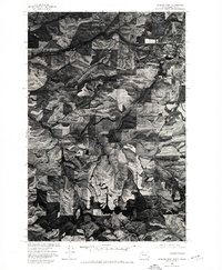 1975 Moscow West1976 Print · USGSThe eastern edge of the Idaho border near Moscow is captured in the mid-seventies, showing the intersection of urban growth and Palouse wheat fields. Researchers can trace the layout of Moscow and the Pullman-Moscow Regional Airport amidst the winding course of Paradise Creek.2 unique versions available
 - 1975 Map of Moscow East, 1978 Print
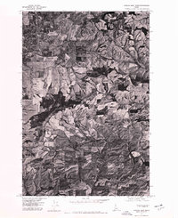 1975 Moscow East1978 Print · USGSThe outskirts of Moscow and the rolling Palouse hills are captured in the mid-1970s through this detailed aerial survey. Researchers can trace rural life and land use around small outposts like Joel and Blaine or follow the path of the South Fork Palouse River.
 - 1981 Map of Potlatch, 1982 Print
 1981 Potlatch1982 Print · USGSLatah County and the northern Nez Perce Reservation are shown here in the early 1980s, documenting the rail-and-river network of the Idaho panhandle. Researchers can trace historic transport lines like the Burlington Northern and find remote landmarks such as the Gold Hill Mine and Potato Hill.2 unique versions available
 - 1982 Map of Pullman
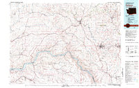 1982 Pullman1982 Print · USGSThe Palouse region and Snake River valley are shown in the early eighties as the river navigation system matured. Trace the rail lines of the Union Pacific, locate rural centers like Johnson and Colton, and see the impact of the Lower Granite Dam.
 - 1994 Map of Robinson Lake, 1997 Print
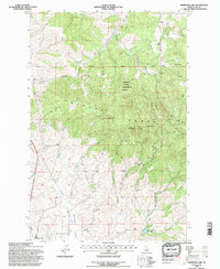 1994 Robinson Lake1997 Print · USGSThe northern Idaho highlands and the Palouse Range are shown here during the mid-1990s as a center for forestry research and watershed management. You can trace the drainage of Paradise Creek or locate landmarks like the White Cross Mine and Rocky Point Lookout.2 unique versions available
 - 2010 Map of Robinson Lake, 2010 Print
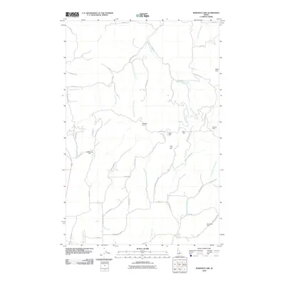 2010 Robinson Lake2010 Print · USGSThe foothills of the Palouse northeast of Moscow are shown here as they appeared in 2010, characterized by prominent summits and winding creek valleys. Researchers can trace the local geography through landmarks like the White Cross Mine and family-named routes such as Hall Rd and Schultz Rd.
 - 2010 Map of Moscow East, 2010 Print
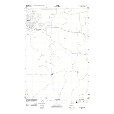 2010 Moscow East2010 Print · USGSMoscow and its eastern Idaho environs are captured here in the early twenty-first century as the city meets the Palouse hills. Researchers can trace rural lineages through the Blaine Cemetery, Buchanan Cemetery, and landmarks like Tomer Butte.
 - 2011 Map of Viola, 2011 Print
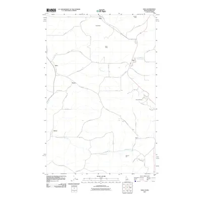 2011 Viola2011 Print · USGSThe Palouse borderlands come into focus in the early 2010s, showing a landscape defined by high buttes and fertile creek drainages. Genealogists and local historians can trace family land via roads like McCoy Rd and identify small rural centers such as Viola and Whelan.
 - 2011 Map of Moscow West, 2011 Print
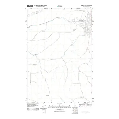 2011 Moscow West2011 Print · USGSThe Palouse region at the turn of the decade shows the expanding footprint of the University of Idaho alongside traditional agricultural landmarks. Researchers can trace the drainages of Paradise Creek and the South Fork Palouse River or locate rural sites like Garrison and Bald Butte.
 - 2013 Map of Moscow West, 2013 Print
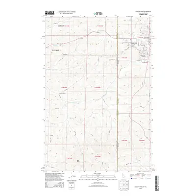 2013 Moscow West2013 Print · USGSThe borderlands between Washington and Idaho are captured here in the early twenty-first century, centered on the corridor between two major university towns. Researchers can trace the local landscape from the Univ of Idaho campus to rural landmarks like Bald Butte and Stratton Hollow.
 - 2013 Map of Viola, 2013 Print
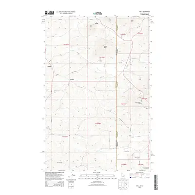 2013 Viola2013 Print · USGSSpanning the Washington and Idaho border in the early twenty-first century, this area features the distinctive rolling terrain and high peaks of the Palouse. Genealogists and local historians can trace rural roads to historic settlements like Viola, Poe, and Whelan or locate family landmarks near Angel Butte.
 - 2013 Map of Robinson Lake, 2013 Print
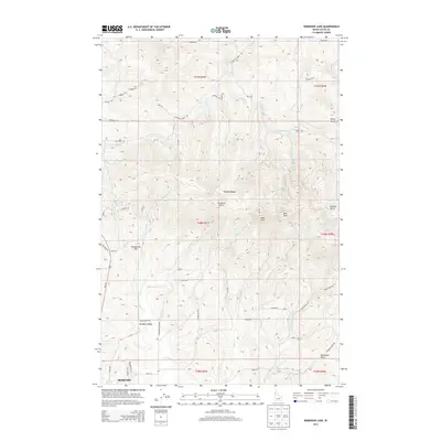 2013 Robinson Lake2013 Print · USGSThe Palouse foothills and the northern outskirts of Moscow are shown here as they appeared in the early 2010s. Researchers can trace rural property access and landmarks like Robinson Lake, Paradise Point, and the summits of the Palouse Range.
 - 2013 Map of Moscow East, 2013 Print
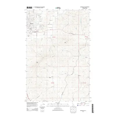 2013 Moscow East2013 Print · USGSThe eastern edges of Moscow and the surrounding Latah County highlands are captured here in the early twenty-first century. Researchers can trace rural cemeteries and landmarks like Blaine Cem, Paradise Ridge, and the Cordelia Lutheran Cem.
 - 2017 Map of Viola, 2017 Print
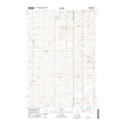 2017 Viola2017 Print · USGSThe borderlands of Washington and Idaho come into focus in the late 2010s, showing the agricultural hills between Pullman and Moscow. Genealogists and local historians can trace family-named landmarks like Madson, Fallon, and Angel Butte across this rural landscape.
 - 2017 Map of Robinson Lake, 2017 Print
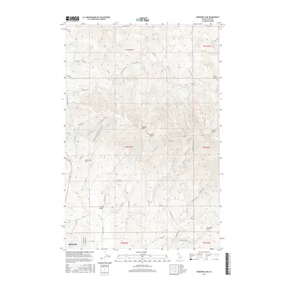 2017 Robinson Lake2017 Print · USGSThe Palouse landscape north of Moscow comes into focus during this recent era of growth. You can trace the rugged transition from Paradise Valley up to the summits of W Twin and E Twin, or locate landmarks like Robinson Lake and Rowlands Park.
 - 2017 Map of Moscow West, 2017 Print
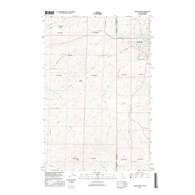 2017 Moscow West2017 Print · USGSThe Washington-Idaho borderlands come into focus during the late 2010s, showing the western expansion of a major university town. Trace the development of the Univ of Idaho and the Pullman/Moscow Regional Airport alongside landmarks like Bald Butte.
Showing maps 1-25 of 34
Top cities near Moscow
- Pullman historical maps
- Palouse historical maps
- Genesee historical maps
- Troy historical maps
- Potlatch historical maps
- Colton historical maps
See more
Top neighborhoods of Moscow
Frequently asked questions
- What are the different types of historical maps available for Moscow?
- What is the oldest map of Moscow?
- Where can I purchase historical maps of Moscow for my home or office?
- Where can I download high-res historical maps of Moscow?
- Are there historical topographic maps available for Moscow?
- Is there historical aerial imagery available for Moscow?
- Where are historical maps of Moscow sourced from?