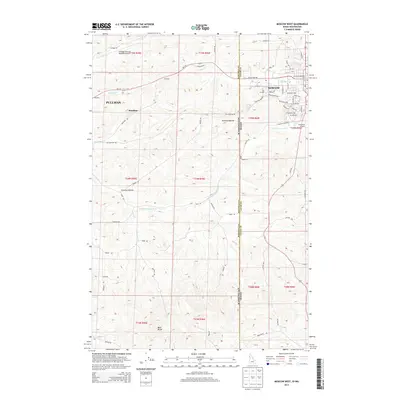
2013 Map of Moscow West
USGS Topo · Published 2013About this map
The Univ of Idaho and the New Saint Andrews Coll anchor the eastern edge of this landscape, marking the transition from the collegiate atmosphere of Moscow into the agricultural expanses of the Palouse. Spanning the Washington-Idaho state line, the area is defined by the rolling hills between Pullman and its neighboring city. Key infrastructure like the Pullman/Moscow Regional Airport and the Stadium reflect the regional importance of these two university towns.
Find a feature on this map
70 named features on this map. Tap any name to fly to it.
Don’t see what you’re looking for? This feature index may not catch every label — zoom into the map to look around manually.
Map Details
Editions of this 2013 Moscow West Map
This is the sole edition of this map. No revisions or reprints were ever made.
Other maps of this area

1910 · Pullman
USGS Topo · 1:125,000

1955 · Pullman
USGS Topo · 1:250,000

1958 · Pullman
USGS Topo · 1:250,000

1960 · Robinson Lake
USGS Topo · 1:24,000

1960 · Moscow East
USGS Topo · 1:24,000

1960 · Potlatch
USGS Topo · 1:62,500

1961 · Moscow
USGS Topo · 1:62,500

1964 · Viola
USGS Topo · 1:24,000

1964 · Moscow West
USGS Topo · 1:24,000

1964 · Colton
USGS Topo · 1:24,000