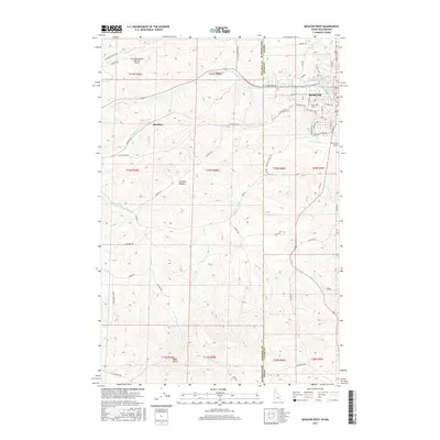
2017 Map of Moscow West
USGS Topo · Published 2017About this map
The Univ of Idaho campus and the western edge of Moscow anchor this study of the rolling borderlands between Washington and Idaho. The landscape is defined by the agricultural and aviation corridor connecting two major university towns, centered around the Pullman/Moscow Regional Airport and the smaller Fountains Airport. Drainage systems like Paradise Cr and the S Fork Palouse River carve through the Palouse hills, which rise toward Bald Butte in the south. The map documents the intricate grid of rural roads and established streets, such as W Stadium Rd and Perimeter Dr, that facilitate the region's academic and farming life. Smaller named locations like Sunshine and Stratton Hollow provide specific points of interest for local researchers tracking the development of these outskirts during the late 2010s.
Find a feature on this map
67 named features on this map. Tap any name to fly to it.
Don’t see what you’re looking for? This feature index may not catch every label — zoom into the map to look around manually.
Map Details
Editions of this 2017 Moscow West Map
This is the sole edition of this map. No revisions or reprints were ever made.
Other maps of this area

1910 · Pullman
USGS Topo · 1:125,000

1955 · Pullman
USGS Topo · 1:250,000

1958 · Pullman
USGS Topo · 1:250,000

1960 · Robinson Lake
USGS Topo · 1:24,000

1960 · Moscow East
USGS Topo · 1:24,000

1960 · Potlatch
USGS Topo · 1:62,500

1961 · Moscow
USGS Topo · 1:62,500

1964 · Viola
USGS Topo · 1:24,000

1964 · Moscow West
USGS Topo · 1:24,000

1964 · Colton
USGS Topo · 1:24,000