1980s Maps of Owyhee County, Idaho
Explore 52 historic maps of Owyhee County from the 1980s. These maps offer a rare glimpse into what life looked like during the 1980s — showing old roads, neighborhoods, homes, and landmarks that have changed or disappeared over time.
Whether you're researching your family's past, planning a metal detecting trip, or studying how Owyhee County's landscape evolved across the 1980s, these high-resolution maps are a powerful tool for exploring the history of this region.
- Focus on a specific era: All maps on this page are from the 1980s, giving you a focused view of this time period.
- See what’s changed: Compare century-old streets, trails, and buildings to today's modern landscape using overlays and satellite layers.
- Research with precision: Use these maps for genealogy, historical research, land use analysis, or educational projects.
- View, download, or print: Maps are fully viewable online in high resolution, and can be downloaded or printed for your own records.
Start exploring Owyhee County's history through authentic maps from the 1980s. This is your window into the past.
Owyhee County, ID maps
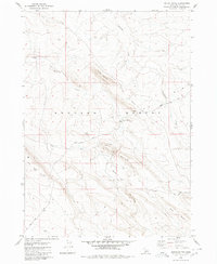
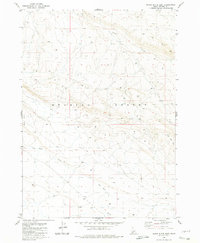
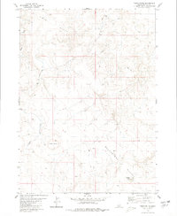
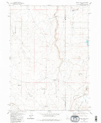
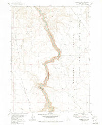
(52)- 1980 Map of Brewster Reservoir
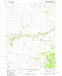 1980 Brewster Reservoir1980 Print · USGSThe high-desert ranchlands along the Oregon-Idaho border are captured here in the 1970s, as the North Fork Owyhee River winds through deep canyons. Researchers can trace remote cattle operations like Brewster Ranch and Circle Bar Ranch or locate isolated water features like Mule Lake Reservoir.2 unique versions available
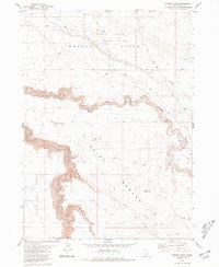
 - 1980 Map of Juniper Butte
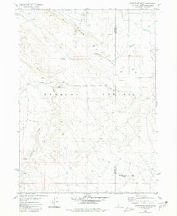
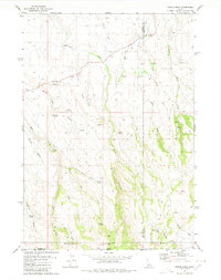
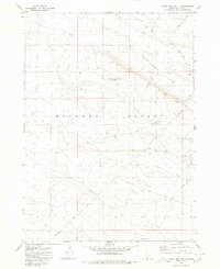
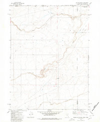
 1980 Juniper Butte1980 Print · USGSOwyhee County ranching and desert lands are captured here in the late seventies, showing the vast plateau of the Inside Desert. Researchers can trace old stock routes and remote landmarks like Juniper Butte, Juniper Lake, and the winding East Fork Bruneau Canyon.
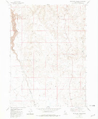
 - 1980 Map of Crows Nest
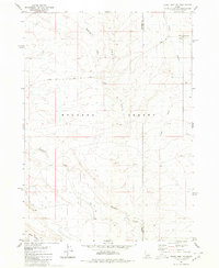
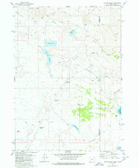
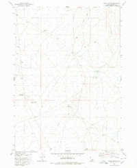
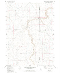
 1980 Crows Nest1980 Print · USGSOwyhee County's high desert landscape is documented here in the early 1980s, showcasing the remote infrastructure of the Bruneau Desert. Researchers can trace old routes like Balanced Rock Road and locate remote water sources such as Guerry Tank and Yellow Tank.
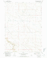
 - 1980 Map of Austin Butte
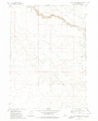
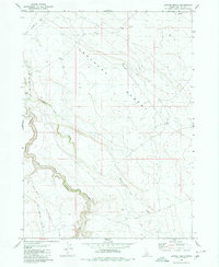
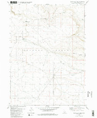
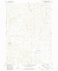
 1980 Austin Butte1980 Print · USGSOwyhee County's high desert plateau is documented in the 1980s, centered on the striking geological formations of the Bruneau Canyon. Researchers can trace remote transit routes like the Blackstone Grasmere Road and locate landmarks such as Austin Butte and Windy Point.
 - 1980 Map of Notch Butte
 1980 Notch Butte1980 Print · USGSThe Bruneau Desert high country in the late 1970s was a land of volcanic buttes and remote cattle trails. Trace historic routes like Crows Nest Road to find local landmarks such as Deadhorse Crossing, Notch Butte, and Sailor Creek Well.
 - 1980 Map of Castleford Butte
 1980 Castleford Butte1980 Print · USGSThe high Idaho desert near the Owyhee and Twin Falls county line is captured in the early eighties as a land of remote ranching and rugged basalt ridges. Trace the vital water sources of the era at Hewitt Watering, Freeland Watering, and along the banks of Deadman Creek.
 - 1980 Map of Crows Nest NE
 1980 Crows Nest NE1980 Print · USGSThe Owyhee and Twin Falls county line splits this desert landscape during the late 1970s, showcasing the high-plateau geography of the Bruneau Desert. Trace the paths of Crows Nest Road and Blue Ridge Trail past Deadman Creek and several Well sites.
 - 1980 Map of Clover Butte North
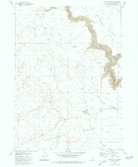
 1980 Clover Butte North1980 Print · USGSThe high Idaho desert south of the Snake River comes into focus in this 1980 survey of Owyhee County. Map collectors and geologists can trace the deep winding path of the East Fork Bruneau Canyon and remote landmarks like Clover Butte and Mirage.
 - 1980 Map of Black Butte East
 1980 Black Butte East1980 Print · USGSThe high plateau of the Owyhee country during the late 1970s reveals a landscape of isolated rangelands and seasonal drainages. Researchers can trace remote cattle-country history through landmarks like the Corral near Pot Hole Creek and the prominent Black Butte.
 - 1980 Map of Curtis Draw
 1980 Curtis Draw1980 Print · USGSThe high-desert borderlands of Idaho and Nevada come into focus during the early 1980s, revealing a landscape of remote ranching outposts and vital desert springs. Researchers can trace historic movements through the area at Three Mile Crossing and locate isolated landmarks like Stanley Cabin or Devil Creek Ranch.2 unique versions available
 - 1980 Map of Juniper Point
 1980 Juniper Point1980 Print · USGSThe Oregon and Idaho borderlands are captured here in the 1980s, showcasing the intricate ranching infrastructure of this high desert region. Researchers can locate remote homesteads like Redmond Ranch and Dougal Ranch alongside named water features like Gartin Reservoir and Twin Lakes.
 - 1980 Map of Hole In Rock
 1980 Hole In Rock1980 Print · USGSOwyhee County's high desert landscape is shown here in the early 1980s, revealing a mix of utility roads and rugged natural landmarks. Researchers can locate remote sites like Hole in Rock Lake, trace the route of Missile Base Road, and identify numerous Borrow Pits and local gulches.
 - 1980 Map of Juniper Ranch
 1980 Juniper Ranch1980 Print · USGSThe high plateau of Owyhee County is captured here in the 1980s, where the East Fork Bruneau River carves through the desert. Researchers can locate remote ranching outposts like Clover Flat Ranch and Juniper Ranch along the Clover Three Creek Road.
 - 1980 Map of Table Butte
 1980 Table Butte1980 Print · USGSOwyhee County's high desert terrain is captured here as it appeared in the late 1970s, showing a landscape shaped by aridity and isolation. Researchers can trace remote routes like the Jeep Trail across the Blackstone Desert and near Fivemile Lake.
 - 1980 Map of Crows Nest Butte
 1980 Crows Nest Butte1980 Print · USGSOwyhee County's high desert is captured here in the late seventies, showing a landscape defined by isolated water sources and primitive trails. Researchers can trace the path of the Clover Road as it passes Crows Nest Lake and the prominent Crows Nest Butte.
 - 1980 Map of Horse Butte
 1980 Horse Butte1980 Print · USGSHigh desert ranching and water management define this Owyhee County landscape as it appeared in the late 1970s. Researchers can trace the remote network of Jeep Trails connecting isolated landmarks like Crossroads Well, Feliz Reservoir, and Corral.
 - 1980 Map of Black Butte West
 1980 Black Butte West1980 Print · USGSThe high desert of Owyhee County is captured here in the 1980s, centered on the SAYLOR CREEK AIR FORCE RANGE. Researchers can trace old canyon routes and volcanic landmarks like Sailor Cap Butte and the Lower Black Butte Crossing.2 unique versions available
 - 1980 Map of Grassy Hills
 1980 Grassy Hills1980 Print · USGSSouthern Idaho ranching and water management are the focus of this 1980 survey along the Owyhee and Twin Falls county border. Researchers can trace the layout of the House Creek Ranch and remote crossings like Bengeochea Crossing or The Windmill.2 unique versions available
 - 1980 Map of Nadine Butte
 1980 Nadine Butte1980 Print · USGSThe high desert at the tri-state junction of Nevada, Idaho, and Oregon is captured here in the late seventies. Researchers can trace remote overland routes like the Jeep Trail and locate specific landmarks such as Nadine Butte and the Aqueduct.
 - 1980 Map of Big Bend Crossing
 1980 Big Bend Crossing1980 Print · USGSThe high desert canyons of the Owyhee and Twin Falls county line come into focus in the 1970s. Trace historic passage points across the deep volcanic rimrock at Big Bend Crossing and Old Bend Crossing, or locate ranching landmarks like Heil Well and Black Butte.
 - 1980 Map of Broken Wagon Flat
 1980 Broken Wagon Flat1980 Print · USGSOwyhee County's high-desert rangeland is shown here during the late twentieth century, when military infrastructure met traditional ranching. Researchers can trace the legacy of the Cold War at the Missile Base or locate local landmarks like the Horse Trap (Corral) and Broken Wagon Flat Reservoir.
 - 1980 Map of Crowbar Gulch, 1981 Print
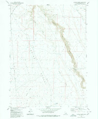
 1980 Crowbar Gulch1981 Print · USGSOwyhee County’s high desert and dramatic rimrocks are captured here in the late twentieth century. Researchers can trace historic movement through the plateau via the Roberson Trail (Pack), Pack Trail, and the serpentine depths of Bruneau Canyon.
 - 1980 Map of Winter Camp, 1981 Print
 1980 Winter Camp1981 Print · USGSThe Owyhee high desert is captured in the early 1980s, showcasing the transition between military lands and remote grazing territory. Researchers can trace the ranching infrastructure at Winter Camp and follow the steep walls of Bruneau Canyon through the Inside Desert.
 - 1980 Map of Wickahoney Crossing, 1981 Print
 1980 Wickahoney Crossing1981 Print · USGSOwyhee County's high desert landscape is recorded here in the late 1970s, showing the intersection of vital water and traditional transit. Researchers can trace movement through the plateau via a Pack Trail and find the landmark Wickahoney Crossing near Buncel Reservoir.
 - 1980 Map of Hodge Station, 1981 Print
 1980 Hodge Station1981 Print · USGSThe high plateau of Owyhee County is captured in the early 1980s, showcasing the expansive ranching country of the Bruneau Desert. Researchers can locate the historical Hodge Station (Site) and trace the rim of Bruneau Canyon.
Showing maps 1-25 of 52
Top cities of Owyhee County
Frequently asked questions
- What are the different types of historical maps available for Owyhee County?
- What is the oldest map of Owyhee County?
- Where can I purchase historical maps of Owyhee County for my home or office?
- Where can I download high-res historical maps of Owyhee County?
- Are there historical topographic maps available for Owyhee County?
- Is there historical aerial imagery available for Owyhee County?
- Where are historical maps of Owyhee County sourced from?