2010s Maps of Owyhee County, Idaho
Explore 546 historic maps of Owyhee County from the 2010s. These maps offer a rare glimpse into what life looked like during the 2010s — showing old roads, neighborhoods, homes, and landmarks that have changed or disappeared over time.
Whether you're researching your family's past, planning a metal detecting trip, or studying how Owyhee County's landscape evolved across the 2010s, these high-resolution maps are a powerful tool for exploring the history of this region.
- Focus on a specific era: All maps on this page are from the 2010s, giving you a focused view of this time period.
- See what’s changed: Compare century-old streets, trails, and buildings to today's modern landscape using overlays and satellite layers.
- Research with precision: Use these maps for genealogy, historical research, land use analysis, or educational projects.
- View, download, or print: Maps are fully viewable online in high resolution, and can be downloaded or printed for your own records.
Start exploring Owyhee County's history through authentic maps from the 2010s. This is your window into the past.
Owyhee County, ID maps
(546)- 2010 Map of Crater Rings SW, 2010 Print
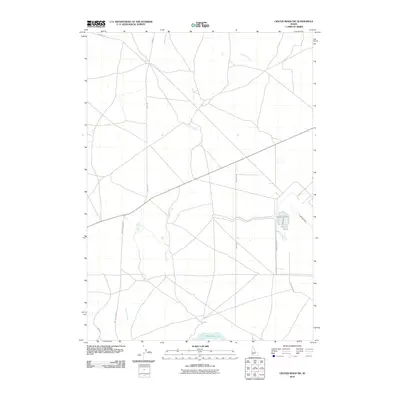 2010 Crater Rings SW2010 Print · USGSThe high desert south of Mountain Home comes into focus during the first decade of the 2000s, showing a landscape shaped by water management and transit. Researchers can trace rural routes like Simco Rd down to the shores of the C J Strike Reservoir or locate the remote Landing Strip.
 - 2010 Map of Austin Butte, 2010 Print
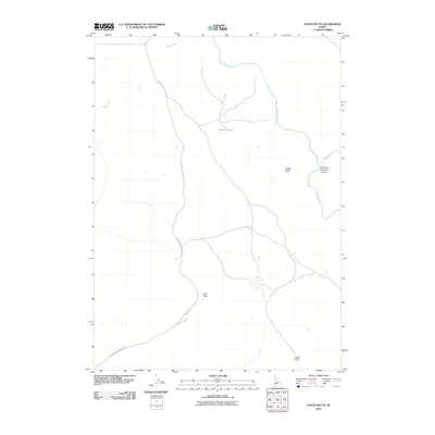 2010 Austin Butte2010 Print · USGSOwyhee County's high desert is captured here in the early twenty-first century, showing the remote canyonlands of the Bruneau River. Researchers can trace the path of Blackstone-Grasmere Rd past landmarks like Austin Butte and Windy Point.
 - 2010 Map of Triguero Lake, 2010 Print
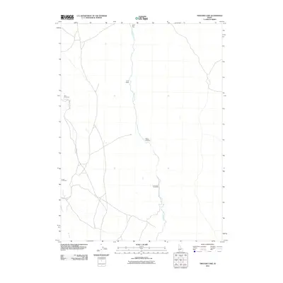 2010 Triguero Lake2010 Print · USGSOwyhee County’s high desert plateau is documented in this early twenty-first century survey of remote Idaho ranchland. Genealogists can locate specific family-named sites like Frank Triguero Homestead, White Homestead, and Homer Bedal Homestead along the Bruneau River.
 - 2010 Map of Twentymile Butte, 2010 Print
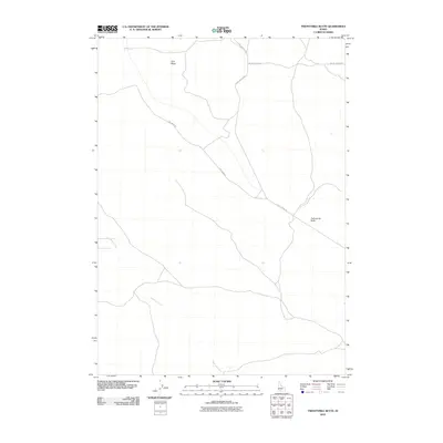 2010 Twentymile Butte2010 Print · USGSElmore County during the early 21st century remains a landscape of open mesas and remote plateaus. Trace the high-desert road network across Flint Mesa and the winding course of Deadman Creek near the landmark of Twentymile Butte.
 - 2010 Map of Bull Camp Butte, 2010 Print
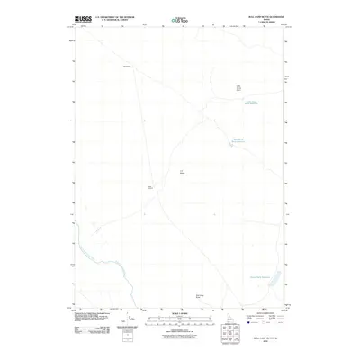 2010 Bull Camp Butte2010 Print · USGSOwyhee County's high desert reveals its ranching and water management history in the years following the millennium. Trace the path of the South Fork Owyhee River or locate remote range markers like Middle Windmill and Bull Camp Butte.
 - 2010 Map of Wickahoney Point, 2010 Print
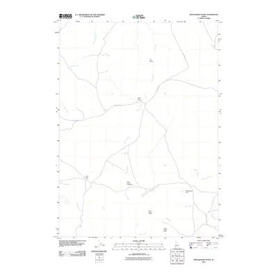 2010 Wickahoney Point2010 Print · USGSOwyhee County’s high desert is captured here in the early twenty-first century, showing a landscape defined by isolated creek crossings and water management. Researchers can locate remote landmarks like Wickahoney Point and the specific positions of Four Corners Dam and Duncan Creek Crossing.
 - 2010 Map of Nichol Flat, 2010 Print
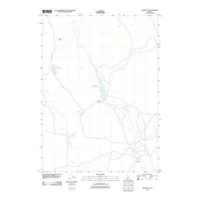 2010 Nichol Flat2010 Print · USGSOwyhee County's high desert landscape is documented here in the early 21st century, showing the vital water infrastructure of the Idaho plateau. Researchers can trace the ranching footprint of the region through landmarks like Portlock Ranch, Rodeo Spring, and the Big Blue Creek Reservoir.
 - 2010 Map of Hole In Rock, 2010 Print
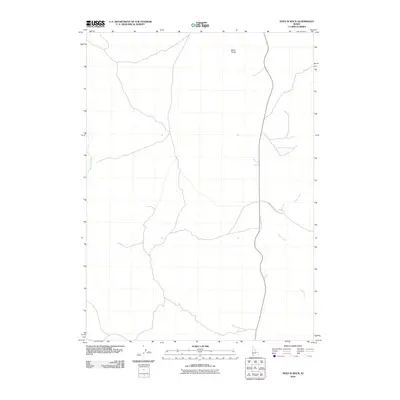 2010 Hole In Rock2010 Print · USGSOwyhee County's high desert reaches are captured here in the early twenty-first century, showing a landscape defined by volcanic geology and military-related transit. Researchers can trace the path of Missile Base Rd near the geological formations of Black Rocks and the winding Sugar Creek.
 - 2010 Map of Coonskin Butte, 2010 Print
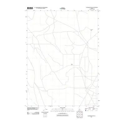 2010 Coonskin Butte2010 Print · USGSOwyhee County's high desert reaches are captured here at the start of the new millennium, showing a landscape defined by isolation and wide horizons. Researchers can locate remote landmarks like Aikers Field, follow the MAIAT TRL, and trace the course of Clover Creek.
 - 2010 Map of Jarvis Pasture, 2010 Print
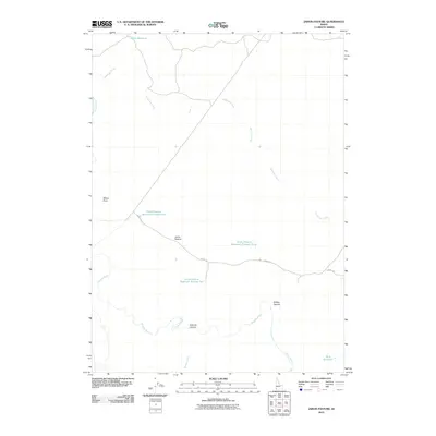 2010 Jarvis Pasture2010 Print · USGSOwyhee County's high desert ranching country is captured here during the first decade of the millennium, showing a landscape defined by water management and open range. Researchers can trace cattle-country infrastructure through named sites like Jarvis Pasture and the systems of the Jarvis Pasture Reservoir Number One.
 - 2010 Map of Piute Basin East, 2010 Print
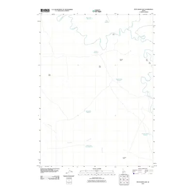 2010 Piute Basin East2010 Print · USGSOwyhee County ranching and water management are documented here during the first decade of the 2000s. Researchers can trace remote sites and landmarks like Wiley Ranch, Piute Butte, and the marshy area known as The Tules.
 - 2010 Map of Inside Lakes, 2010 Print
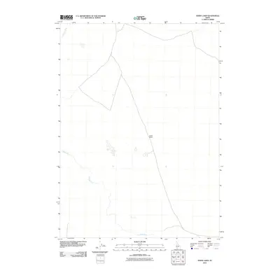 2010 Inside Lakes2010 Print · USGSOwyhee County's high-plateau landscape is captured here in the early twenty-first century, showcasing a remote section of the Idaho borderlands. Researchers and geographers can trace the winding paths of the Jarbidge River and the Bruneau River as they carve through the Inside Desert.
 - 2010 Map of O X Lake, 2010 Print
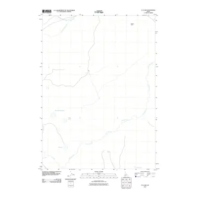 2010 O X Lake2010 Print · USGSOwyhee County's high desert landscape is documented here in the early twenty-first century, showcasing a region defined by its vital water catchments. Researchers can trace the drainage of Little Jacks Creek and locate seasonal landmarks like Ox Lake and Twin Lakes.
 - 2010 Map of Crows Nest Butte, 2010 Print
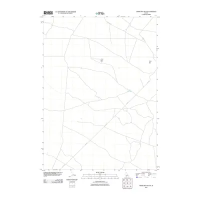 2010 Crows Nest Butte2010 Print · USGSOwyhee County's high-desert terrain is captured in this recent survey, showcasing a landscape defined by volcanic landforms and long-distance ranch roads. Local researchers can trace the routes of Clover Rd and Castleford Rd as they pass Crows Nest Butte and the seasonal waters of Crows Nest Lake.
 - 2010 Map of Rough Mountain NE, 2010 Print
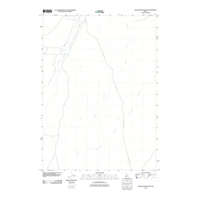 2010 Rough Mountain NE2010 Print · USGSOwyhee County's high-desert landscape is captured in the early twenty-first century, showing the remote road networks and seasonal drainages of southern Idaho. Researchers can trace the path of the Poison Creek Cutoff and locate seasonal watercourses like Castle Creek and McKeeth Wash.
 - 2010 Map of Grasmere Reservoir, 2010 Print
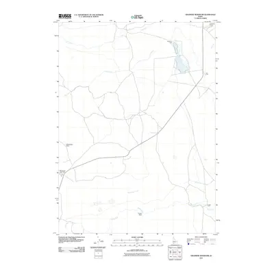 2010 Grasmere Reservoir2010 Print · USGSOwyhee County's high desert ranching country is captured here during the first decade of the millennium. Researchers can trace remote water improvements and local heritage at Grasmere Dam, Hart Ranch, and the Grasmere Airport.
 - 2010 Map of Antelope Spring, 2010 Print
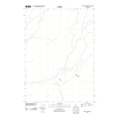 2010 Antelope Spring2010 Print · USGSOwyhee County's high-desert ranching and mining country is documented here during the early 2000s. Researchers can locate specific sites such as the Spiry Place or trace the mining history of the Amie Number One and Amie Number Two claims.
 - 2010 Map of Wickahoney Crossing, 2010 Print
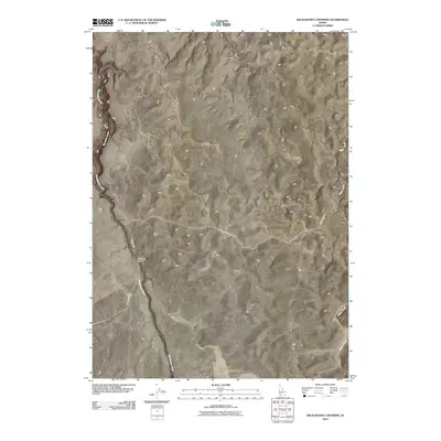 2010 Wickahoney Crossing2010 Print · USGSOwyhee County's high desert landscape is documented here in the early twenty-first century, centered on the remote outpost of Wickahoney Crossing. Researchers can trace the rugged intersection of Battle Creek Rd and the seasonal flows of Wickahoney Creek.
 - 2010 Map of Red Basin, 2010 Print
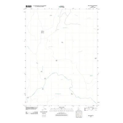 2010 Red Basin2010 Print · USGSThe high desert of Owyhee County appears in the early twenty-first century as a land of deep canyons and critical water sources. Trace the path of the Owyhee River through the southern landscape or locate remote landmarks like Crutcher Crossing and Defeat Ridge.
 - 2010 Map of Wickiup Creek, 2010 Print
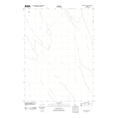 2010 Wickiup Creek2010 Print · USGSOwyhee County's high-desert drainages are captured here in the first decade of the new millennium. Researchers can trace the winding paths of remote waterways like Nip and Tuck Creek, Anne Valley Creek, and Rose Creek through this sparsely settled terrain.
 - 2010 Map of Little Blue Table, 2010 Print
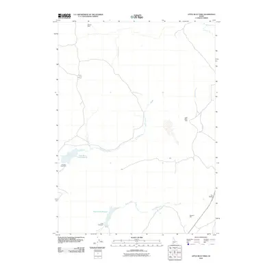 2010 Little Blue Table2010 Print · USGSOwyhee County's high-desert plateaus are mapped here in the early 21st century, showing the critical water infrastructure of the Idaho rangeland. Researchers can trace the drainage of Little Blue Creek and locate landmarks like the Little Blue Creek Reservoir and Little Blue Table.
 - 2010 Map of Poison Butte, 2010 Print
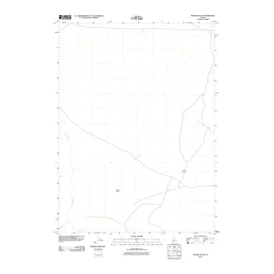 2010 Poison Butte2010 Print · USGSThe high-desert terrain of Owyhee County is documented here in the early twenty-first century, showing a landscape shaped by water and elevation. Researchers can trace the path of the Jarbidge River or locate the historic site at Post Office Crossing near Poison Butte.
 - 2010 Map of C J Strike Dam, 2010 Print
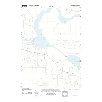 2010 C J Strike Dam2010 Print · USGSElmore County's high-desert irrigation and recreation landscape is well-documented in the early twenty-first century. Researchers can trace the path of the Emigrant Trl as it nears the C J Strike Dam and the expansive Bruneau Valley.
 - 2010 Map of Pence Butte, 2010 Print
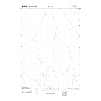 2010 Pence Butte2010 Print · USGSOwyhee County in the early twenty-first century reveals a landscape shaped by high desert drainage and volcanic landmarks. Geologists and land researchers can trace the course of Browns Creek and the remote path of Pothole Rd leading toward Pence Butte.
 - 2010 Map of Vinson Wash, 2010 Print
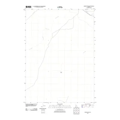 2010 Vinson Wash2010 Print · USGSOwyhee County's high-desert landscape is captured in the first decade of the millennium, showing a region defined by its natural drainages. Researchers can trace the path of McKeeth Wash or locate the distinct terrain of Poison Gulch and Birch Creek.
Showing maps 1-25 of 546
Top cities of Owyhee County
Frequently asked questions
- What are the different types of historical maps available for Owyhee County?
- What is the oldest map of Owyhee County?
- Where can I purchase historical maps of Owyhee County for my home or office?
- Where can I download high-res historical maps of Owyhee County?
- Are there historical topographic maps available for Owyhee County?
- Is there historical aerial imagery available for Owyhee County?
- Where are historical maps of Owyhee County sourced from?