1970s Maps of Owyhee County, Idaho
Explore 84 historic maps of Owyhee County from the 1970s. These maps offer a rare glimpse into what life looked like during the 1970s — showing old roads, neighborhoods, homes, and landmarks that have changed or disappeared over time.
Whether you're researching your family's past, planning a metal detecting trip, or studying how Owyhee County's landscape evolved across the 1970s, these high-resolution maps are a powerful tool for exploring the history of this region.
- Focus on a specific era: All maps on this page are from the 1970s, giving you a focused view of this time period.
- See what’s changed: Compare century-old streets, trails, and buildings to today's modern landscape using overlays and satellite layers.
- Research with precision: Use these maps for genealogy, historical research, land use analysis, or educational projects.
- View, download, or print: Maps are fully viewable online in high resolution, and can be downloaded or printed for your own records.
Start exploring Owyhee County's history through authentic maps from the 1970s. This is your window into the past.
Owyhee County, ID maps
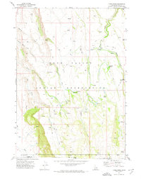
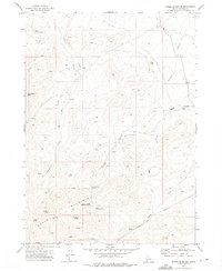
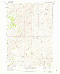
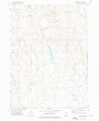
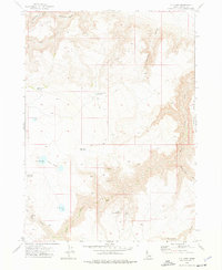
(84)- 1971 Map of Juniper Basin SE, 1974 Print
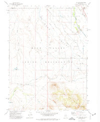
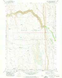 1971 Juniper Basin SE1974 Print · USGSThe high plateau of the Idaho-Nevada border comes into focus in the early 1970s, showing a landscape defined by ranching and reservation lands. Researchers can trace remote water improvements like the Dell Dick Windmill and numerous catchments including Cleveland Reservoir.
 - 1971 Map of Juniper Basin, 1974 Print
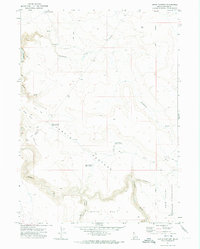
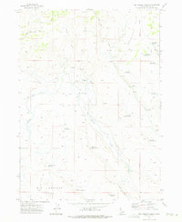
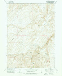
 1971 Juniper Basin1974 Print · USGSThe Owyhee high desert along the Idaho-Nevada border is captured here in the early 1970s, showing a landscape defined by ranching and remote reservoirs. Trace the operations of Juniper Basin Ranch and navigate the Boise Meridian Jeep Trail across the Duck Valley Indian Reservation.
 - 1971 Map of Owyhee, 1974 Print
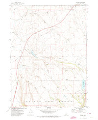
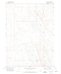
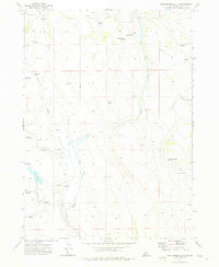
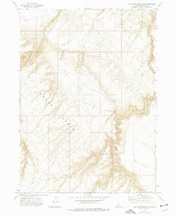
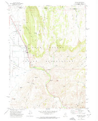 1971 Owyhee1974 Print · USGSLife on the Nevada-Idaho border in the early seventies centered on the Duck Valley Indian Reservation and its lifeline of canals. Researchers can trace the layout of Owyhee, identify the George Washington Cem, and locate landmarks like China Dam and the Rodeo Grounds.
 - 1971 Map of Flying H Ranch, 1974 Print
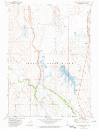
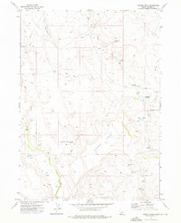
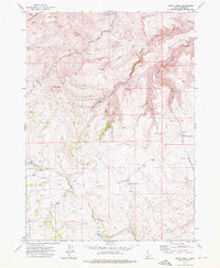
 1971 Flying H Ranch1974 Print · USGSOwyhee County ranching lands and the northern border of the Duck Valley Indian Reservation are captured here in the early 1970s. Trace the remote network of the Flying H Ranch, find the Bacon Rind Gate, and locate historical Ruins along the desert creeks.
 - 1971 Map of Three Forks, 1974 Print
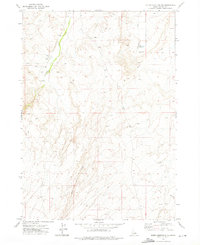
 1971 Three Forks1974 Print · USGSThe high-desert borderlands of Idaho and Nevada are captured here in the early seventies, centered on the northern reaches of the Duck Valley Indian Reservation. Researchers can trace remote routes like the Damon Trail and find isolated landmarks such as Cranes Nest and Three Forks Summit.
 - 1971 Map of Jarvis Pasture, 1974 Print
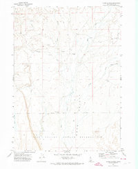
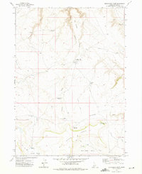
 1971 Jarvis Pasture1974 Print · USGSThe high plateaus of southwestern Idaho in the early 1970s reveal a landscape of remote ranching and water management. Researchers can trace land use patterns across Jarvis Pasture and identify livestock infrastructure like Wiley Reservoir and the local Landing Strip.
 - 1971 Map of Riddle, 1974 Print
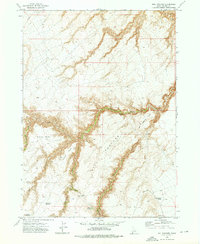
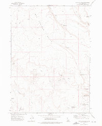
 1971 Riddle1974 Print · USGSOwyhee County ranching and reservation lands are captured here in the early 1970s, showcasing a remote high-desert plateau. Researchers can locate the U D Ranch, the Riddle settlement, and several water features like Squaw Creek Reservoir.
 - 1971 Map of Mountain View Lake, 1974 Print
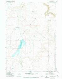
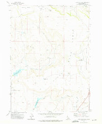
 1971 Mountain View Lake1974 Print · USGSThe Duck Valley borderlands come alive in the early seventies, showing a landscape defined by water and ranching. Genealogists can locate the Miller Creek Settlement and Miller Creek Cem while tracing the Owyhee River.
 - 1971 Map of The Point, 1974 Print
 1971 The Point1974 Print · USGSNear the Nevada-Idaho border in the early seventies, this region reveals a working landscape of irrigation and ranching. Researchers can locate the Chinatown Cem and Smith Cem or trace water routes like the Duck Valley Canal.
 - 1971 Map of Ross Lake, 1974 Print
 1971 Ross Lake1974 Print · USGSOwyhee County's high desert is captured here in the early 1970s, showing the intersection of ranching infrastructure and tribal lands. Researchers can trace the rugged network of Jeep Trails connecting Ross Lake and the northern edge of the Duck Valley Indian Reservation.
 - 1972 Map of Rough Mountain NE, 1975 Print
 1972 Rough Mountain NE1975 Print · USGSThe Owyhee County backcountry in the early seventies reveals a landscape of ranching and mining. Researchers can trace mineral workings like a Mine and Tailings or follow the route of an old Jeep Trail past a Corral.
 - 1972 Map of Hill Pasture, 1975 Print
 1972 Hill Pasture1975 Print · USGSOwyhee County ranching and water rights are recorded here in the early seventies, detailing a landscape of isolated cabins and spring-fed canyons. Researchers can trace land use through landmarks like Holman Cabin, Harvey Place, and Harveys V Reservoir.2 unique versions available
 - 1972 Map of Rough Mountain, 1975 Print
 1972 Rough Mountain1975 Print · USGSOwyhee County's high desert reveals its network of springs and remote outposts during the early seventies. Trace the livestock and exploration routes connecting Doyle Place and Rough Mountain via the Mud Flat Road and Horsehead Spring.
 - 1972 Map of Wickahoney Point, 1975 Print
 1972 Wickahoney Point1975 Print · USGSThe Owyhee high desert is captured here in the early 1970s, showcasing a landscape of remote cattle ranges and canyon drainages. Researchers can locate Cottonwood (Site), the Antelope Spring Corral, and water works like Four Corners Dam.
 - 1972 Map of Little Blue Table, 1975 Print
 1972 Little Blue Table1975 Print · USGSOwyhee County ranching and ancient history meet in this early 1970s survey of the high plateau. Researchers and outdoorsmen can locate multiple Petroglyphs sites and trace the cattle-country water network of Little Blue Creek Res and Payne Creek Res.
 - 1972 Map of Frying Pan Basin, 1975 Print
 1972 Frying Pan Basin1975 Print · USGSThe high plateau of Owyhee County is captured here in the early 1970s, revealing a landscape shaped by remote ranching and rugged water management. Researchers can trace the isolated settlement of Dickshooter and find specific landmarks like Big Springs Butte and D Bar Basin.
 - 1972 Map of Pixley Basin, 1975 Print
 1972 Pixley Basin1975 Print · USGSOwyhee County's high desert basins and peaks appear in the early 1970s, showcasing a landscape shaped by remote ranching and mining. Trace the history of early residents at Gordy Ranch and the Crill Place, or locate the Golden Crown Mine near the many springs of Pixley Basin.
 - 1972 Map of Big Springs Ranch, 1975 Print
 1972 Big Springs Ranch1975 Print · USGSOwyhee County ranching lands are captured here in the early 1970s, showcasing the intricate water management of the high desert. Researchers can trace remote livestock infrastructure and seasonal water sources like Big Springs Ranch, Sagebrush Flat Reservoir, and Antelope Flat Reservoir.
 - 1972 Map of Crab Spring Butte, 1975 Print
 1972 Crab Spring Butte1975 Print · USGSThe Owyhee desert in the early seventies was a land of remote ranching and ancient history. You can trace the cattle trails between Battle Creek Ranch and Crab Spring, or locate the site of Petroglyphs near Battle Creek.
 - 1972 Map of Turner Table, 1976 Print
 1972 Turner Table1976 Print · USGSThe Owyhee plateau of the 1970s is shown here as a landscape of remote ranching and essential water rights. Researchers can trace land use at Monasterio Ranch and Morrow Ranch or locate the Whites House (Ruins).
 - 1972 Map of Nichol Flat, 1976 Print
 1972 Nichol Flat1976 Print · USGSThe Owyhee desert in the early seventies reveals a landscape of remote ranching and essential water management. Genealogists and historians can trace family operations like Portlock Ranch or locate isolated water sources such as Hawks Nest Spring and Blue Creek Reservoir.
 - 1972 Map of Antelope Spring, 1976 Print
 1972 Antelope Spring1976 Print · USGSThe Owyhee desert in the early seventies reveals a landscape of isolated mining claims and remote ranching outposts. Researchers can trace land use through named sites like Spiry Place, the Amie No 1 mine, and the steep Bachman Grade.
 - 1972 Map of Big Horse Basin Gap, 1976 Print
 1972 Big Horse Basin Gap1976 Print · USGSThe Owyhee desert in the early seventies is mapped here through its rugged basin networks and high-country passes. Researchers can trace historic access routes like the Pack Tr and Jeep Trail near Big Horse Basin Gap and Big Jacks Creek.
 - 1972 Map of Snow Creek, 1976 Print
 1972 Snow Creek1976 Print · USGSOwyhee County in the early seventies was a landscape of remote mountain peaks and essential desert water management. Researchers can trace the path of the Aqueduct across Antelope Flat and locate reliable water sources like Big Sagehen Reservoir and Rose Briar Spring.
 - 1972 Map of O X Lake, 1976 Print
 1972 O X Lake1976 Print · USGSOwyhee County's high desert ranching landscape is captured here in the early seventies, detailing a remote network of springs and reservoirs. Researchers can trace land use through features like O X Lake, Whickney Tree Reservoir, and the Perjue Jeep Trail.
Showing maps 1-25 of 84
Top cities of Owyhee County
Frequently asked questions
- What are the different types of historical maps available for Owyhee County?
- What is the oldest map of Owyhee County?
- Where can I purchase historical maps of Owyhee County for my home or office?
- Where can I download high-res historical maps of Owyhee County?
- Are there historical topographic maps available for Owyhee County?
- Is there historical aerial imagery available for Owyhee County?
- Where are historical maps of Owyhee County sourced from?