2020s Maps of Owyhee County, Idaho
Explore 357 historic maps of Owyhee County from the 2020s. These maps offer a rare glimpse into what life looked like during the 2020s — showing old roads, neighborhoods, homes, and landmarks that have changed or disappeared over time.
Whether you're researching your family's past, planning a metal detecting trip, or studying how Owyhee County's landscape evolved across the 2020s, these high-resolution maps are a powerful tool for exploring the history of this region.
- Focus on a specific era: All maps on this page are from the 2020s, giving you a focused view of this time period.
- See what’s changed: Compare century-old streets, trails, and buildings to today's modern landscape using overlays and satellite layers.
- Research with precision: Use these maps for genealogy, historical research, land use analysis, or educational projects.
- View, download, or print: Maps are fully viewable online in high resolution, and can be downloaded or printed for your own records.
Start exploring Owyhee County's history through authentic maps from the 2020s. This is your window into the past.
Owyhee County, ID maps
(357)- 2020 Map of Defeat Butte, 2020 Print
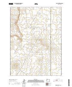 2020 Defeat Butte2020 Print · USGSThe high-desert borderlands between Oregon and Idaho are documented here in the early twenty-first century. Researchers can trace land-use patterns through isolated water sources like Mustang Lake Reservoir and landmarks like Stoney Corral Ridge.
 - 2020 Map of Brewster Reservoir, 2020 Print
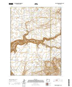 2020 Brewster Reservoir2020 Print · USGSMalheur County, Oregon, and Owyhee County, Idaho, meet here in the modern era along a high-plateau landscape defined by the North Fork Owyhee River. Researchers can trace remote ranching routes like Fenwick Ranch Rd and locate numerous water sources including Brewster Reservoir and Soldier Meadows.
 - 2020 Map of Deacon Crossing, 2020 Print
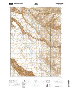 2020 Deacon Crossing2020 Print · USGSRemote high-desert ranching and water management define this borderland between Oregon and Idaho in the early twenty-first century. Researchers can trace the layout of isolated outposts and water sources like Deacon Crossing, Rentile Field, and Idaho Spring.
 - 2020 Map of Star Valley Knoll, 2020 Print
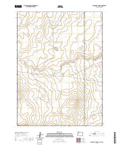 2020 Star Valley Knoll2020 Print · USGSThe Oregon-Idaho borderlands in Malheur County are captured here in the contemporary era, revealing a landscape of high-desert water management. Researchers can trace the courses of Tent Cr and locate remote landmarks such as Star Valley Knoll and Pigeon-toe Lake.
 - 2020 Map of Jordan Valley, 2020 Print
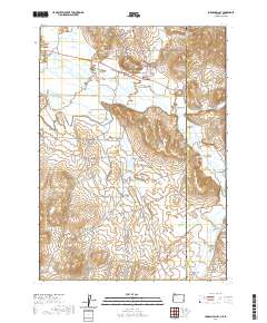 2020 Jordan Valley2020 Print · USGSJordan Valley and the high-desert borderlands of Oregon and Idaho are documented here during the late 2010s. Genealogists and local historians can trace family sites near Jordan Valley Cem or follow water rights via the Antelope Feeder Canal and Wroten Reservoir.
 - 2020 Map of Beaver Charlie Breaks, 2020 Print
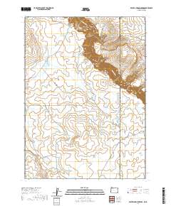 2020 Beaver Charlie Breaks2020 Print · USGSHigh desert rangelands along the Oregon-Idaho border appear here in detail as they were late in the second decade of the millennium. Researchers can trace remote water sources and cattle infrastructure including West Beaver Charlie Reservoir, Bull Flat, and the South Toppin Butte Pit.
 - 2020 Map of Parsnip Peak, 2020 Print
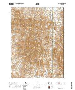 2020 Parsnip Peak2020 Print · USGSThe Oregon and Idaho border country appears here in detail, showing a landscape defined by isolated peaks and vital water sources. Researchers can trace the ranching history of the area through features like Wroten Reservoir 2, Elguren Spring, and Salt Lick Reservoir.
 - 2020 Map of Juniper Point, 2020 Print
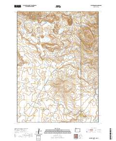 2020 Juniper Point2020 Print · USGSThe high desert of Malheur County at the Oregon-Idaho border shows a landscape of ranching waterworks and high ridges. Researchers can trace land use through named features like Gartin Reservoir, Schoolhouse Gulch, and Chas-Maher Ranch Rd.
 - 2020 Map of Pole Creek Top, 2020 Print
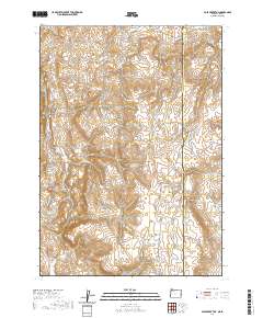 2020 Pole Creek Top2020 Print · USGSThe Oregon-Idaho borderlands come into focus in the early twenty-first century, showing the remote high-desert terrain of the Owyhee region. Trace the old ranching routes and water sources that define this landscape, from Spanish Charlie Basin and Negro Rock to the banks of Succor Cr.
 - 2020 Map of Adrian, 2020 Print
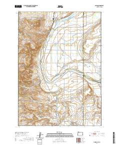 2020 Adrian2020 Print · USGSThe Oregon-Idaho border comes alive in this contemporary survey of the Snake River valley. Genealogists and local historians can trace the intricate irrigation network through Adrian and Arena Valley, while locating engineering landmarks like Tunnel Number 6.
 - 2020 Map of Hooker Creek, 2020 Print
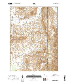 2020 Hooker Creek2020 Print · USGSThe Oregon-Idaho borderlands in Malheur County are captured here in a period defined by ranching and remote desert water management. Researchers can trace the drainage systems of Hooker Creek and locate family-named sites like Stearns Reservoir and Chevally Reservoir.
 - 2020 Map of Rockville, 2020 Print
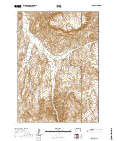 2020 Rockville2020 Print · USGSRanching and water rights define this high-desert borderland between Oregon and Idaho in the early twenty-first century. Genealogists and historians can trace local landmarks like Rockville Cem and the complex irrigation systems of Succor Cr.
 - 2020 Map of Sheaville, 2020 Print
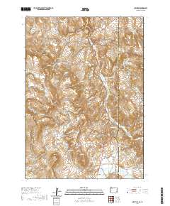 2020 Sheaville2020 Print · USGSThe Oregon and Idaho high desert border comes into focus in this recent survey of the Owyhee backcountry. Researchers can trace the ranching and mining roots of the region through landmarks like Sheaville, Coal Mine Basin, and Sticky Joe Spring.
 - 2020 Map of Graveyard Point, 2020 Print
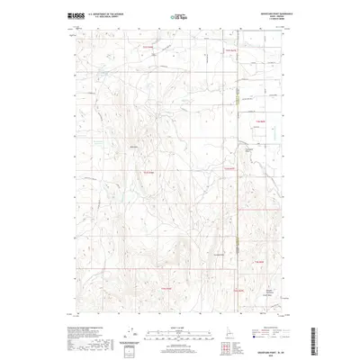 2020 Graveyard Point2020 Print · USGSThe Oregon and Idaho state line bisects this high-desert landscape as it appeared in 2020, where the Owyhee Mountains meet complex irrigation networks. Researchers can trace the path of Bishop Ditch and locate landmarks like Graveyard Point and Tunnel Number 7.
 - 2020 Map of Grindstone Butte, 2020 Print
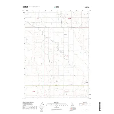 2020 Grindstone Butte2020 Print · USGSElmore County's high desert reveals its ranching and topographical history in the decade before the 2020s. Trace the remote network of roads including Flint Mesa Rd and S Butte Rd as they converge near Grindstone Butte and the Bruneau Desert.
 - 2020 Map of Dickshooter Ridge, 2020 Print
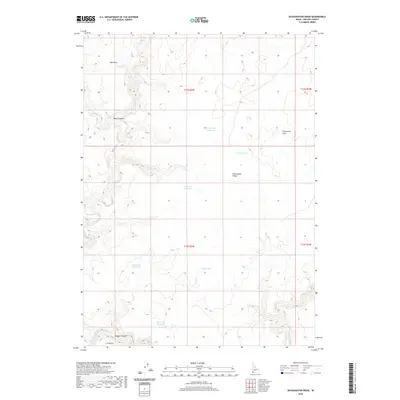 2020 Dickshooter Ridge2020 Print · USGSOwyhee County's high desert plateaus are captured here in the early twenty-first century, showcasing a landscape shaped by water and isolation. Researchers can trace the essential network of named catchments like Black Canyon Reservoir and White Rock Reservoir and the deep cut of Owyhee Canyon.
 - 2020 Map of Castro Table, 2020 Print
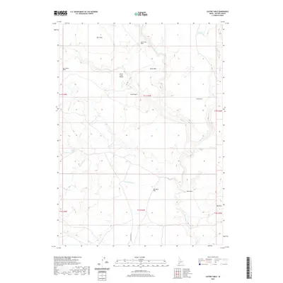 2020 Castro Table2020 Print · USGSOwyhee County's high plateau country is captured here during the 2020s, showing a landscape defined by ranching geography and isolated water sources. Genealogists and historians can trace family-named landmarks like Ben Mills Flat, Star Ranch Table, and the seasonal flow of Moonshine Cr.
 - 2020 Map of Lost Valley, 2020 Print
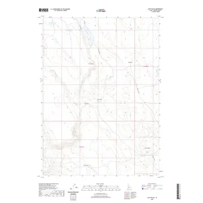 2020 Lost Valley2020 Print · USGSOwyhee County in the early twenty-first century remains a landscape of high-desert basins and essential springs. Researchers can trace remote water sources like Lost Valley Springs and infrastructure at Twin Bridges or the Dry Cr Reservoir Number Four.
 - 2020 Map of Wagon Box Basin, 2020 Print
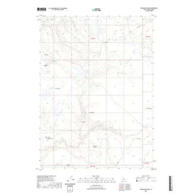 2020 Wagon Box Basin2020 Print · USGSRemote high-desert basins in Owyhee County are meticulously mapped here in the early twenty-first century. Genealogists and historians can trace the essential water infrastructure of this arid landscape through Wagon Box Basin, Spencer Butte, and Henley Spring.
 - 2020 Map of The Arch, 2020 Print
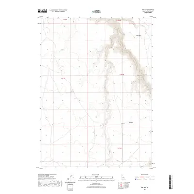 2020 The Arch2020 Print · USGSThe Jarbidge River canyon and high desert plains of Owyhee County are captured here in the early twenty-first century. Outdoor enthusiasts and geologists can trace the winding river corridor from Arch Canyon to landmarks like The Arch and Crater Hole.
 - 2020 Map of Purjue Canyon, 2020 Print
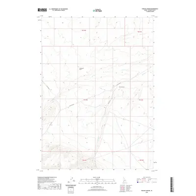 2020 Purjue Canyon2020 Print · USGSOwyhee County's high desert landscape is recorded here in the early twenty-first century, showing a remote region defined by drainage basins and ranch roads. Researchers can trace the paths of Shoofly Cr and Poison Cr or locate specific transit points along Poison Creek Rd.
 - 2020 Map of Hammett, 2020 Print
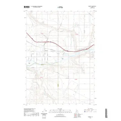 2020 Hammett2020 Print · USGSElmore and Owyhee counties are shown here along the high-desert reach of the Snake River in the early twenty-first century. Researchers can trace the legacy of westward migration along the Old Oregon Trail Hwy and locate landmarks like Schoffs Island and Hammett.
 - 2020 Map of Star Valley, 2020 Print
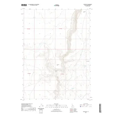 2020 Star Valley2020 Print · USGSOwyhee County's high desert plateaus are mapped here in the modern era, showing a landscape defined by water management and deep river canyons. Researchers can trace the rugged course of the Little Owyhee River or locate remote landmarks like Star Valley and Walcot Basin Reservoir.
 - 2020 Map of Hill Pasture, 2020 Print
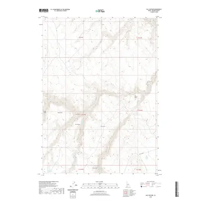 2020 Hill Pasture2020 Print · USGSHigh desert ranching country in Owyhee County is revealed in this modern survey of the southwestern Idaho plateau. Researchers can trace critical water sources such as Harveys V Reservoir and Hicks Springs alongside landmarks like Willies Point.
 - 2020 Map of Turner Table, 2020 Print
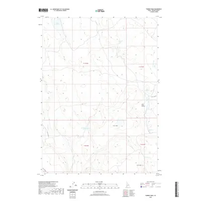 2020 Turner Table2020 Print · USGSHigh desert plateaus and vital water sources define this Owyhee County landscape in the 2020s. Researchers can trace land use through key features like Jacks Creek Meadows, Turner Table, and the Monasterio Jacks Cr Reservoir.
Showing maps 1-25 of 357
Top cities of Owyhee County
Frequently asked questions
- What are the different types of historical maps available for Owyhee County?
- What is the oldest map of Owyhee County?
- Where can I purchase historical maps of Owyhee County for my home or office?
- Where can I download high-res historical maps of Owyhee County?
- Are there historical topographic maps available for Owyhee County?
- Is there historical aerial imagery available for Owyhee County?
- Where are historical maps of Owyhee County sourced from?