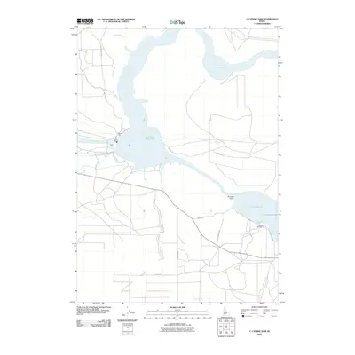
2010 Map of C J Strike Dam
USGS Topo · Published 2010About this map
The C J Strike Dam anchors this high-desert landscape where the Snake River meets the waters of Canyon Creek to form the expansive C J Strike Reservoir. This 2010 survey illustrates the confluence of industrial utility and recreation, showing the infrastructure of the South Side Canal alongside public spaces like North Park, South Park, and the Cottonwood Campground to the southeast. Historically significant routes traverse the arid terrain, including the Emigrant Trl cutting across the Bruneau Valley, a reminder of the westward migration paths that preceded the modern dam. Local transit is defined by a network of rural roads such as Mormon Blvd, Tindall Rd, and Black Sands Rd, reflecting the managed access required for both agricultural irrigation and reservoir maintenance.
Find a feature on this map
18 named features on this map. Tap any name to fly to it.
Don’t see what you’re looking for? This feature index may not catch every label — zoom into the map to look around manually.
Map Details
Editions of this 2010 C J Strike Dam Map
This is the sole edition of this map. No revisions or reprints were ever made.
Other maps of this area

1892 · Mountain Home
USGS Topo · 1:125,000

1892 · Bisuka
USGS Topo · 1:125,000

1893 · Mountain Home
USGS Topo · 1:125,000

1894 · Bisuka
USGS Topo · 1:125,000

1946 · Mouth of Bruneau
USGS Topo · 1:24,000

1947 · Little Valley
USGS Topo · 1:24,000

1947 · Grand View
USGS Topo · 1:62,500

1947 · Bruneau
USGS Topo · 1:62,500

1947 · Grand View
USGS Topo · 1:24,000

1947 · Bruneau
USGS Topo · 1:24,000